East Morton Plantation
Wood, Forest in Dumfriesshire
Scotland
East Morton Plantation

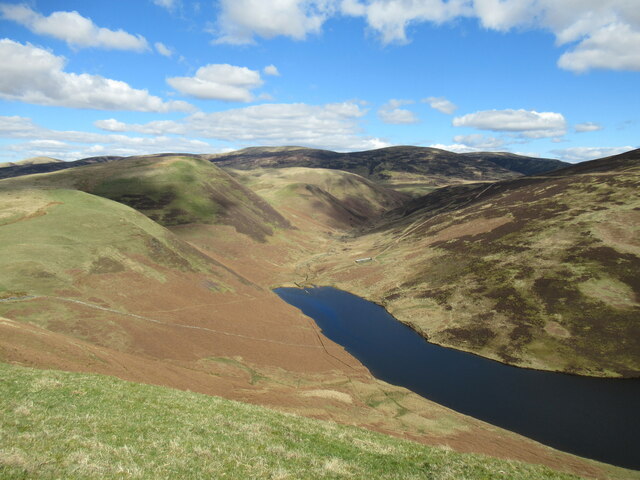
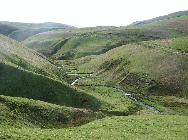
East Morton Plantation is a historic property located in Dumfriesshire, Scotland. Situated amidst picturesque woodlands and forests, it is a captivating destination for nature lovers and history enthusiasts alike. The plantation covers a vast area, encompassing lush greenery, rolling hills, and serene water bodies, creating a tranquil and idyllic atmosphere.
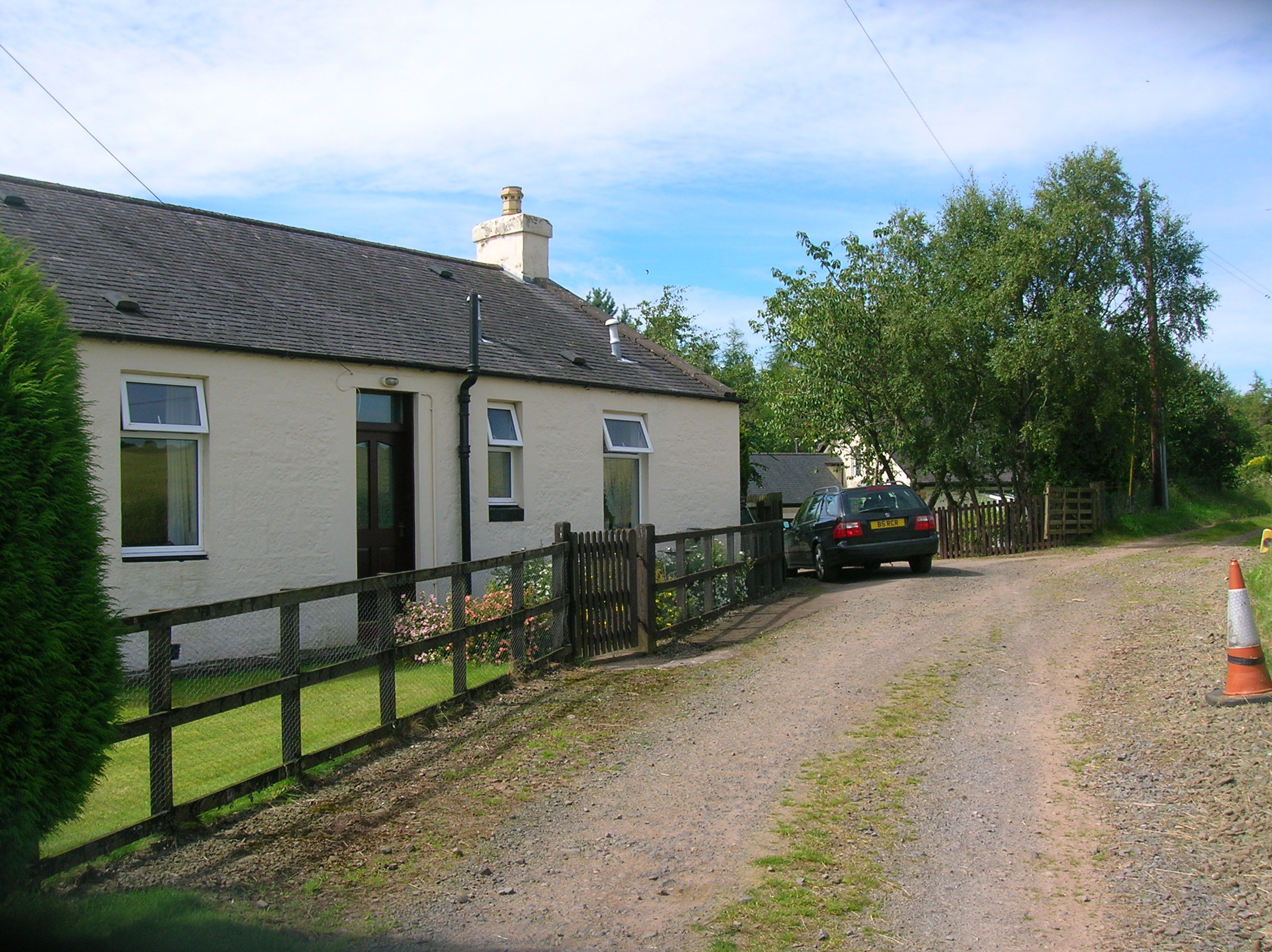
The estate boasts a rich history dating back several centuries. Originally established as a hunting lodge in the 16th century, it gradually expanded into a thriving plantation under the ownership of various influential families. The architectural style of the main house reflects a mix of Renaissance and Scottish baronial influences, showcasing the grandeur and elegance of the era.
The woodlands surrounding East Morton Plantation are home to a diverse range of flora and fauna, making it a paradise for wildlife enthusiasts. Visitors can explore the well-maintained trails that wind through the forest, offering opportunities for hiking, birdwatching, and photography. The dense canopy of trees provides a serene and peaceful setting, inviting visitors to immerse themselves in the natural beauty of the surroundings.
Additionally, East Morton Plantation offers a range of recreational activities for visitors to enjoy. The estate features a beautiful garden, adorned with vibrant flowers and manicured lawns, perfect for leisurely strolls or picnics. The property also hosts various events and exhibitions, showcasing local arts, crafts, and cultural heritage.
Overall, East Morton Plantation in Dumfriesshire is a captivating destination that seamlessly combines history, natural beauty, and recreational activities. It offers a peaceful retreat for those seeking solace in the embrace of nature, while also providing a glimpse into the region's rich historical past.
If you have any feedback on the listing, please let us know in the comments section below.
East Morton Plantation Images
Images are sourced within 2km of 55.291908/-3.7504599 or Grid Reference NS8801. Thanks to Geograph Open Source API. All images are credited.


East Morton Plantation is located at Grid Ref: NS8801 (Lat: 55.291908, Lng: -3.7504599)
Unitary Authority: Dumfries and Galloway
Police Authority: Dumfries and Galloway
What 3 Words
///arranges.hiker.bond. Near Thornhill, Dumfries & Galloway
Nearby Locations
Related Wikis
Carronbridge railway station
Carronbridge railway station was a railway station in Dumfries and Galloway north of Dumfries, serving the village of Carronbridge and district. The station...

Morton Castle
Morton Castle is located by an artificial loch in the hills above Nithsdale, in Dumfries and Galloway, south-west Scotland. It lies 2.5 miles (4 km) north...

Durisdeer
Durisdeer is a small village in Dumfries and Galloway, south-west Scotland, and in the historic county of Dumfries-shire. It lies 6 miles (9.7 km) north...

Carronbridge
Carronbridge is a village in the parish of Morton in Dumfries and Galloway, Scotland. The village is at the junction of the A76 and A702 roads approximately...

Tibbers Castle
Tibbers Castle is a motte-and-bailey castle overlooking a ford across the River Nith in Dumfries and Galloway, Scotland. To the east is the village of...
Enterkinfoot
Enterkinfoot is a small village or hamlet which lies 6 miles (9.7 km) north of Thornhill on the A76 on the route to Sanquhar, in Dumfriesshire, Durisdeer...

Carron Water, Dumfriesshire
The Carron Water (Scottish Gaelic: Carrann) is a tributary of the River Nith in southwest Scotland. It rises in the Dalveen Pass in the Lowther Hills as...

Drumlanrig
Drumlanrig (Scottish Gaelic: Druim Lannraig) is a settlement in Dumfries and Galloway, Scotland, which is best known for nearby Drumlanrig Castle. The...
Have you been to East Morton Plantation?
Leave your review of East Morton Plantation below (or comments, questions and feedback).