Easter Strip
Wood, Forest in Stirlingshire
Scotland
Easter Strip
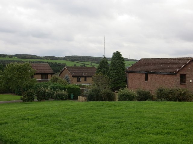
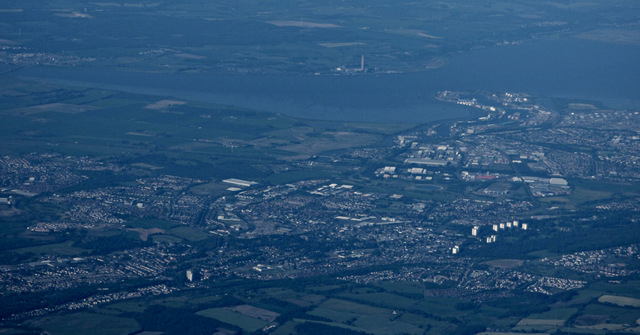
Easter Strip is a picturesque wood located in Stirlingshire, a historic county in central Scotland. Nestled within the beautiful landscape of the region, this forested area offers a serene and tranquil escape for visitors. Spanning an area of approximately 200 acres, Easter Strip is renowned for its natural beauty, captivating wildlife, and diverse ecosystem.
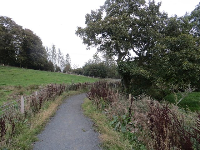
The woodland is predominantly composed of native Scottish trees, such as oak, birch, and pine, which create a dense and lush canopy. Walking trails meander through the wood, allowing visitors to explore and appreciate the peaceful surroundings. The forest floor is covered in a rich carpet of moss, wildflowers, and ferns, enhancing the enchanting atmosphere.
Easter Strip is home to a variety of wildlife species, including red squirrels, roe deer, and a plethora of bird species. Nature enthusiasts will delight in the opportunity to spot these creatures in their natural habitat. Birdwatchers can observe a range of species, including woodland birds like great spotted woodpeckers and song thrushes.
The wood's proximity to nearby villages and towns makes it easily accessible for locals and tourists alike. The forest provides an ideal setting for outdoor activities, such as hiking, nature walks, and picnics. The peaceful ambiance of Easter Strip offers an escape from the hustle and bustle of everyday life, providing a welcome respite for visitors seeking solace in nature's embrace.
Overall, Easter Strip in Stirlingshire is a charming woodland retreat, offering a serene environment, picturesque scenery, and an abundance of wildlife.
If you have any feedback on the listing, please let us know in the comments section below.
Easter Strip Images
Images are sourced within 2km of 55.977048/-3.7978755 or Grid Reference NS8777. Thanks to Geograph Open Source API. All images are credited.


Easter Strip is located at Grid Ref: NS8777 (Lat: 55.977048, Lng: -3.7978755)
Unitary Authority: Falkirk
Police Authority: Forth Valley
What 3 Words
///wires.excavate.storage. Near Hallglen, Falkirk
Nearby Locations
Related Wikis

Falkirk (council area)
Falkirk (; Scots: Fawkirk [ˈfɔːkɪrk]; Scottish Gaelic: An Eaglais Bhreac) is one of 32 unitary authority council areas of Scotland. It was formed on 1...

Glen Village
Glen Village is a settlement in the Falkirk council area of Scotland, situated at the southern end of Callendar Park, and around 1 mile (1.6 km) south...
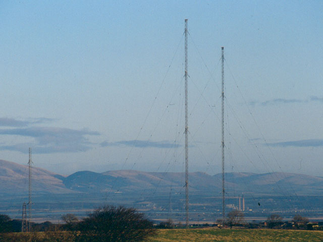
Westerglen transmitting station
The Westerglen transmitting station is a facility for longwave and mediumwave broadcasting established in 1932 at Westerglen Farm, 2 miles (3 km) south...

Battle of Falkirk Muir
The Battle of Falkirk Muir (Scottish Gaelic: Blàr na h-Eaglaise Brice), also known as the Battle of Falkirk, took place on 17 January 1746 during the Jacobite...
Nearby Amenities
Located within 500m of 55.977048,-3.7978755Have you been to Easter Strip?
Leave your review of Easter Strip below (or comments, questions and feedback).