East Newlands Belt

Wood, Forest in Dumfriesshire

Scotland

East Newlands Belt

Hillend or Upper Hillend Ruins at Hillend.
Photo taken on the 27th March 2022.
Hillend or Upper Hillend Credit: Rab McMurdo

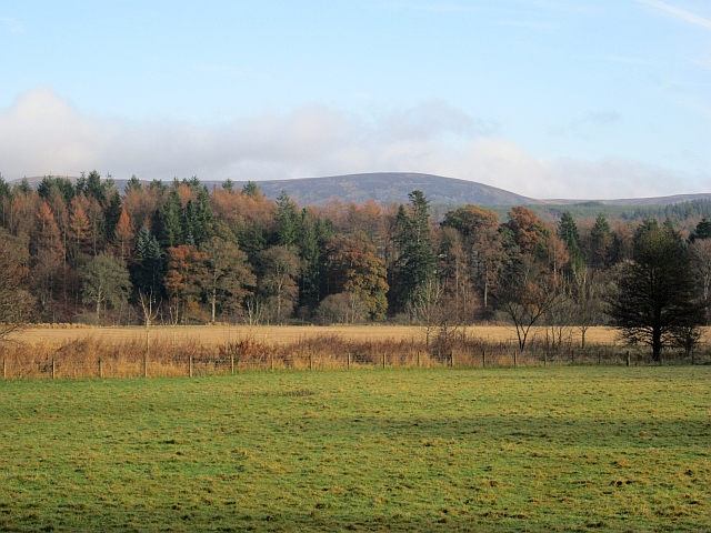
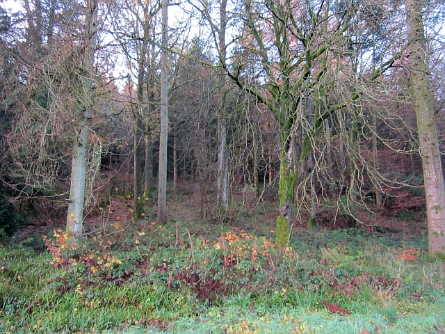
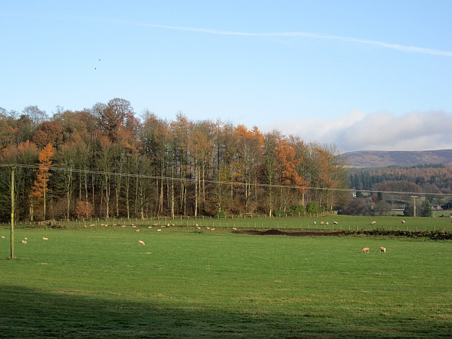
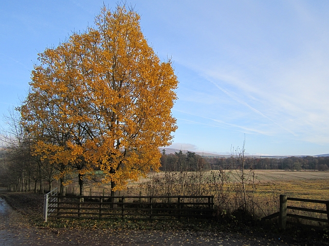
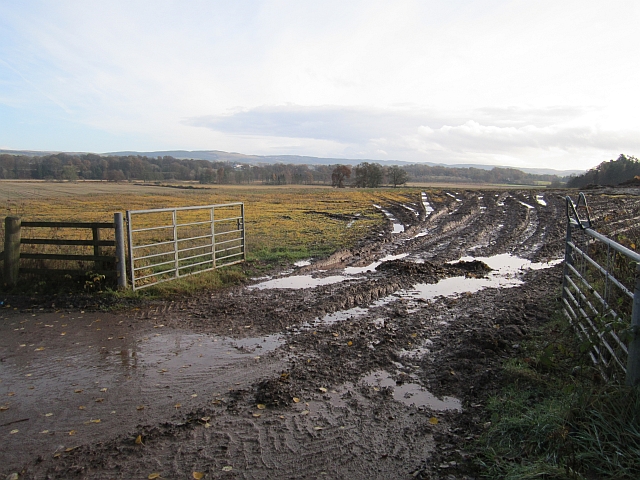
The East Newlands Belt, located in Dumfriesshire, Scotland, is a picturesque wood and forest area that offers a serene and tranquil escape from the hustle and bustle of city life. Spanning approximately 200 acres, this natural paradise is nestled within the rolling hills and lush green landscapes of the Dumfries and Galloway region.

The East Newlands Belt is characterized by its diverse range of flora and fauna, making it a haven for nature enthusiasts and wildlife lovers alike. The wood is primarily composed of native broadleaf species such as oak, birch, and ash, which create a vibrant and enchanting canopy overhead. Beneath the majestic trees, visitors can explore a carpet of wildflowers, ferns, and mosses, adding to the area's natural beauty.

The forest is also home to a variety of wildlife species, including deer, foxes, badgers, and a plethora of bird species. Birdwatchers will delight in the opportunity to spot rare and migratory birds, such as the red kite and osprey, as they soar through the clear blue skies above.

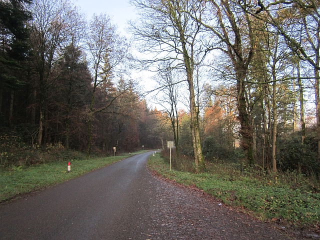
For those seeking outdoor activities, the East Newlands Belt offers a network of well-maintained walking and cycling trails that wind through the woods, allowing visitors to immerse themselves in the stunning surroundings. The trails range in difficulty, catering to both casual strollers and seasoned hikers.

Overall, the East Newlands Belt in Dumfriesshire is a true gem of nature, providing a peaceful retreat for anyone seeking solace in the embrace of Scotland's breathtaking woodlands.

If you have any feedback on the listing, please let us know in the comments section below.

East Newlands Belt Images

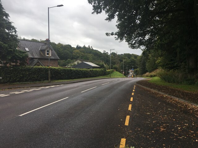
Images are sourced within 2km of 55.26186/-3.7687784 or Grid Reference NX8797. Thanks to Geograph Open Source API. All images are credited.

Hillend or Upper Hillend Ruins at Hillend.
Photo taken on the 27th March 2022.
Hillend or Upper Hillend
Ruins at Hillend. Photo taken on the 27th March 2022.
Old Rifle-Range Somewhere in that new-ish plantation, about the middle of the photo, there was once a target butt for a rifle-range.   A quick search for any remains of the target butt was cut short, because the new trees are planted very close to each other and I was getting jagged everywhere with the needles.  Another search might happen, at another date when I have more time to spare.
This photo was taken on the 27th March 2022.
Old Rifle-Range
Somewhere in that new-ish plantation, about the middle of the photo, there was once a target butt for a rifle-range. A quick search for any remains of the target butt was cut short, because the new trees are planted very close to each other and I was getting jagged everywhere with the needles. Another search might happen, at another date when I have more time to spare. This photo was taken on the 27th March 2022.
Old Well Inside the stonework surrounding an old well.
Photo taken on the 27th March 2022.
Old Well
Inside the stonework surrounding an old well. Photo taken on the 27th March 2022.
Carronhill Glen Viaduct Railway viaduct over the Carronhill Glen.
Photo taken on the 27th March 2022.
Carronhill Glen Viaduct
Railway viaduct over the Carronhill Glen. Photo taken on the 27th March 2022.
Benchmark on Bridge Benchmark on the road bridge over the railway at Drumcork.
Photo taken on the 27th March 2022.
Benchmark on Bridge
Benchmark on the road bridge over the railway at Drumcork. Photo taken on the 27th March 2022.
Hillend Belt The corner of Hillend Belt.
This photo was taken on the 27th July 2022.
Hillend Belt
The corner of Hillend Belt. This photo was taken on the 27th July 2022.
Old Well An old well.
This photo was taken on the 27th July 2022.
Old Well
An old well. This photo was taken on the 27th July 2022.
Morton Castle, north-east of Carronbridge, in dreich weather The ruin of Morton Castle is located in Nithsdale, north-east of Carronbridge, around 3 miles north of Thornhill. Built in the 14th century, this 'hall-house' design replaced an earlier 12th century fortress. The castle stands high above the secluded and scenic Morton Loch - a wildfowl breeding site.
Morton Castle, north-east of Carronbridge, in dreich weather
The ruin of Morton Castle is located in Nithsdale, north-east of Carronbridge, around 3 miles north of Thornhill. Built in the 14th century, this 'hall-house' design replaced an earlier 12th century fortress. The castle stands high above the secluded and scenic Morton Loch - a wildfowl breeding site.
A702 near Carronbridge
A76 north of Thornhill
A76 in Carronbridge
A76 in Carronbridge
Haugh, Drumlanrig Farmland between Drumlanrig Woods and the River Nith. The river runs between the woodland and stubble field.
Haugh, Drumlanrig
Farmland between Drumlanrig Woods and the River Nith. The river runs between the woodland and stubble field.
Tibbers Wood Part of the Drumlanrig Estate woodlands.
Tibbers Wood
Part of the Drumlanrig Estate woodlands.
Court Hill The flood plain of the Nith with a small wooded hill. This looks similar to the fine kame and kettle deposits in Drumlanrig Park.
Court Hill
The flood plain of the Nith with a small wooded hill. This looks similar to the fine kame and kettle deposits in Drumlanrig Park.
Autumn foliage, Tibbers One of the last trees to shed its leaves. There is an extremely soggy stubble field beyond.
Autumn foliage, Tibbers
One of the last trees to shed its leaves. There is an extremely soggy stubble field beyond.
Minor road, Drumlanrig A "yellow" road passes through Drumlanrig Woods.
Minor road, Drumlanrig
A "yellow" road passes through Drumlanrig Woods.
Mud, Tibbers A field entrance in a very wet year.
Mud, Tibbers
A field entrance in a very wet year.
Thornhill Station The road out to the site of the station which fell foul of Dr Beeching, although passenger trains still run on the railway.
Thornhill Station
The road out to the site of the station which fell foul of Dr Beeching, although passenger trains still run on the railway.
Show me another place!

East Newlands Belt is located at Grid Ref: NX8797 (Lat: 55.26186, Lng: -3.7687784)

Unitary Authority: Dumfries and Galloway

Police Authority: Dumfries and Galloway

What 3 Words

///tenses.renews.ooze. Near Thornhill, Dumfries & Galloway

Related Wikis

Carronbridge

Carronbridge is a village in the parish of Morton in Dumfries and Galloway, Scotland. The village is at the junction of the A76 and A702 roads approximately...

Carron Water, Dumfriesshire

The Carron Water (Scottish Gaelic: Carrann) is a tributary of the River Nith in southwest Scotland. It rises in the Dalveen Pass in the Lowther Hills as...

Tibbers Castle

Tibbers Castle is a motte-and-bailey castle overlooking a ford across the River Nith in Dumfries and Galloway, Scotland. To the east is the village of...

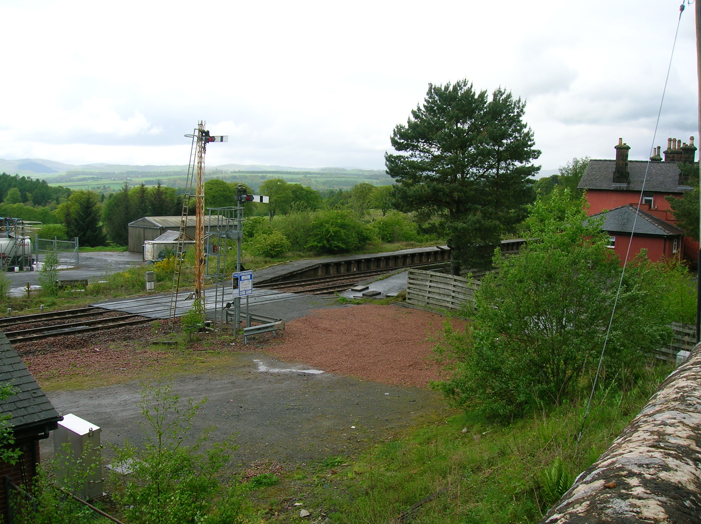
Thornhill (Dumfries) railway station

Thornhill is a closed station. It served the country town of Thornhill in Dumfries and Galloway. The station site is a mile or so from the town. Four...

Nearby Amenities

Located within 500m of 55.26186,-3.7687784
Power: pole
Lat/Long: 55.2643813/-3.7686983
Power: pole
Lat/Long: 55.2646811/-3.7696232
Power: pole
Lat/Long: 55.2643898/-3.7709046
Power: pole
Lat/Long: 55.2636258/-3.7710128
Power: pole
Lat/Long: 55.2635207/-3.7724532
Power: pole
Lat/Long: 55.263422/-3.7738492
Power: pole
Lat/Long: 55.2633224/-3.7752578
Power: pole
Lat/Long: 55.262741/-3.7760618
Power: pole
Lat/Long: 55.2616555/-3.7761997
Power: pole
Lat/Long: 55.2610776/-3.7754042
Power: pole
Lat/Long: 55.2604091/-3.7744644
Power: pole
Lat/Long: 55.2599739/-3.7738704
Power: pole
Lat/Long: 55.2595133/-3.7735882
Power: pole
Lat/Long: 55.25902/-3.7733018
Power: pole
Lat/Long: 55.2642629/-3.7738364
Power: pole
Lat/Long: 55.2651006/-3.7738237
The data included in this document is from www.openstreetmap.org. The data is made available under ODbL.

Have you been to East Newlands Belt?

Leave your review of East Newlands Belt below (or comments, questions and feedback).