Canada Wood

Wood, Forest in Stirlingshire

Scotland

Canada Wood

Falkirk Wheel - upper level sealing arrangement Swinging the boat lift is the easy bit, it is the sealing devices at each level and at each end of the two boat chambers that get complicated. A view from a descending boat.
Falkirk Wheel - upper level sealing arrangement Credit: Robin Webster

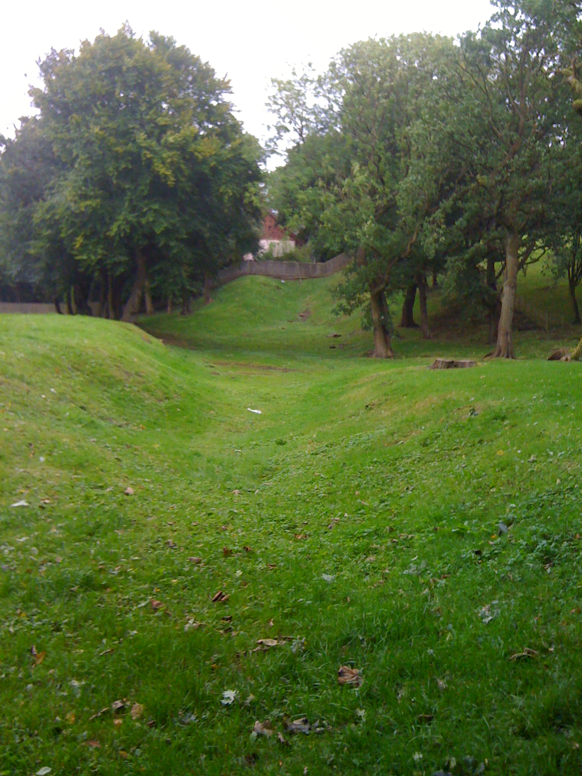
Canada Wood is a picturesque woodland area located in Stirlingshire, Scotland. Situated near the village of Wood, this forested haven covers a vast expanse of approximately 30 hectares. The wood is managed by the Forestry and Land Scotland agency and offers a variety of amenities and attractions for visitors to enjoy.

One of the most notable features of Canada Wood is its diverse range of tree species. The woodland is home to a mix of coniferous and deciduous trees, including oak, beech, birch, and spruce. This rich variety of flora creates a vibrant and ever-changing landscape throughout the seasons, making it an ideal spot for nature enthusiasts and photographers.

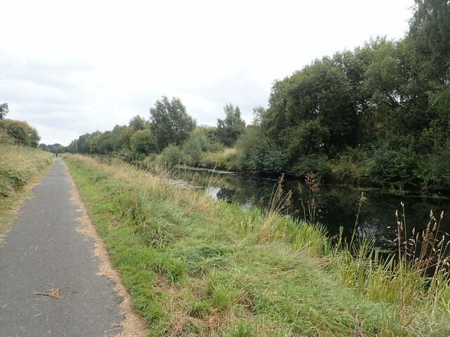
The wood boasts an extensive network of well-maintained walking trails, providing visitors with the opportunity to explore its beauty on foot. These paths wind through the majestic trees, offering glimpses of wildlife such as squirrels, deer, and a wide array of bird species. Additionally, the forest is intersected by a charming stream, further enhancing its tranquil atmosphere.

For those seeking a more adventurous experience, Canada Wood offers mountain biking trails that cater to various skill levels. These trails are designed to challenge and excite riders, showcasing the natural beauty of the woodland as they navigate the terrain.

Canada Wood is a popular destination for families, as it provides ample space for picnics and outdoor activities. The wood features well-maintained picnic areas equipped with tables and benches, making it an ideal spot for a leisurely lunch amidst the stunning surroundings.

Overall, Canada Wood offers a captivating blend of natural beauty and recreational opportunities. Whether visitors are seeking a peaceful stroll, an adrenaline-fueled bike ride, or a scenic picnic spot, this woodland gem has something to offer for everyone.

If you have any feedback on the listing, please let us know in the comments section below.
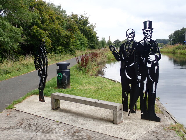
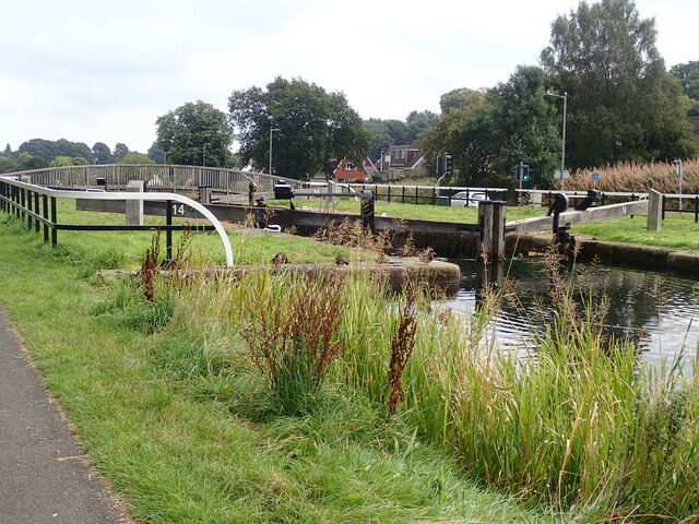
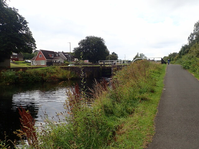
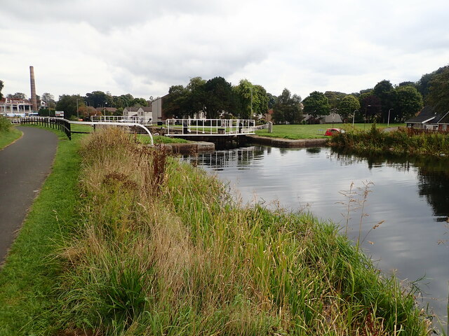
Canada Wood Images

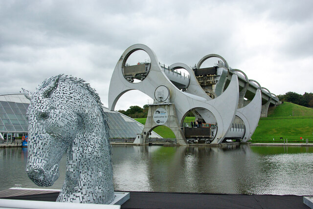
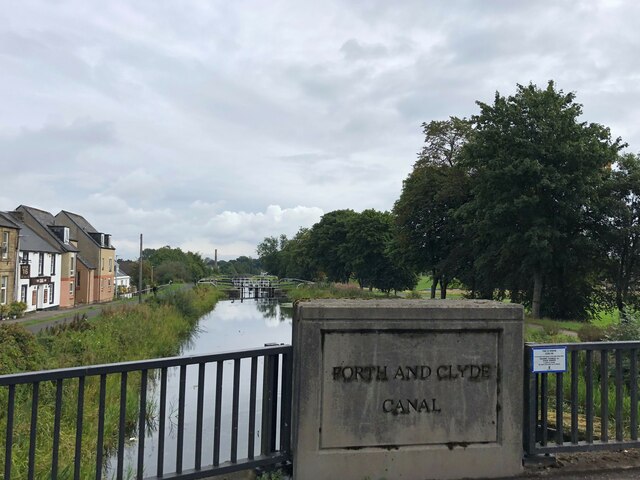
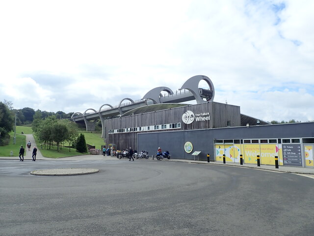
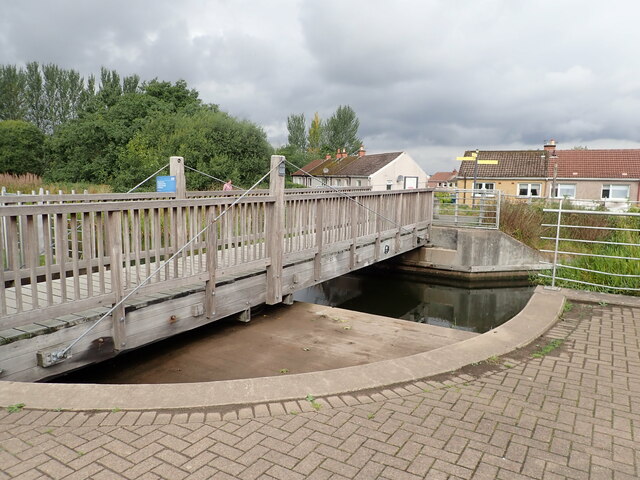
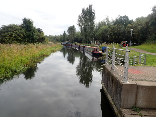
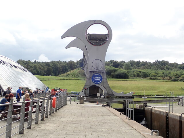
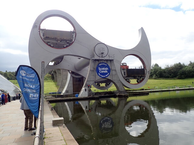
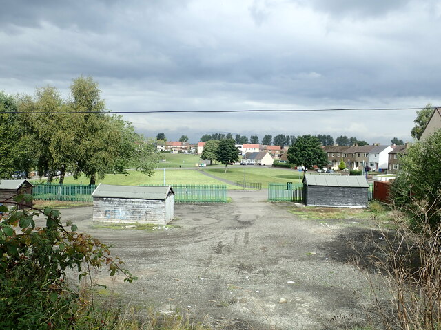
Images are sourced within 2km of 55.988713/-3.8222883 or Grid Reference NS8678. Thanks to Geograph Open Source API. All images are credited.

Falkirk Wheel - upper level sealing arrangement Swinging the boat lift is the easy bit, it is the sealing devices at each level and at each end of the two boat chambers that get complicated. A view from a descending boat.
Falkirk Wheel - upper level sealing arrangement
Swinging the boat lift is the easy bit, it is the sealing devices at each level and at each end of the two boat chambers that get complicated. A view from a descending boat.
Falkirk Wheel and a Kelpie model, 2007 Despite what Wikipedia says, the miniature (1/10) Kelpies existed in 2007, and were not made in 2008. They were on display here before the large size ones were made or even had the finance secured, from what I remember of the display board.
Falkirk Wheel and a Kelpie model, 2007
Despite what Wikipedia says, the miniature (1/10) Kelpies existed in 2007, and were not made in 2008. They were on display here before the large size ones were made or even had the finance secured, from what I remember of the display board.
Forth and Clyde Canal at Lock 16 The Forth and Clyde Canal links Bowling on the Firth of Clyde with Grangemouth on the Firth of Forth. It allowed goods to be transported between the east and west coasts, and to be exported from Glasgow to Europe or from Edinburgh to America, without taking the hazardous route round the north of Scotland or the longer route via the English Channel. 

It is 56 kilometres (35 miles) long and has 39 locks, and the highest point is 47 metres (155 feet) above sea level. Originally there were 33 drawbridges, ten large aqueducts and 33 smaller ones.

It was designed by the engineer John Smeaton and opened in 1790, after over 20 years of planning and construction. 

With time seagoing vessels became too large to pass through the locks, and competition from the railways in the 19th century led to it being more or less disused, and it was closed in 1963.

However it was reopened as a Millennium project in 2001, and linked to the Union Canal by the Falkirk Wheel.
Forth and Clyde Canal at Lock 16
The Forth and Clyde Canal links Bowling on the Firth of Clyde with Grangemouth on the Firth of Forth. It allowed goods to be transported between the east and west coasts, and to be exported from Glasgow to Europe or from Edinburgh to America, without taking the hazardous route round the north of Scotland or the longer route via the English Channel. It is 56 kilometres (35 miles) long and has 39 locks, and the highest point is 47 metres (155 feet) above sea level. Originally there were 33 drawbridges, ten large aqueducts and 33 smaller ones. It was designed by the engineer John Smeaton and opened in 1790, after over 20 years of planning and construction. With time seagoing vessels became too large to pass through the locks, and competition from the railways in the 19th century led to it being more or less disused, and it was closed in 1963. However it was reopened as a Millennium project in 2001, and linked to the Union Canal by the Falkirk Wheel.
The Falkirk Wheel Visitor Centre for the Falkirk Wheel, and behind it the Union Canal culminating in a boat lift
The Falkirk Wheel
Visitor Centre for the Falkirk Wheel, and behind it the Union Canal culminating in a boat lift
Rotating bridge at the basin at the foot of the Falkirk Wheel Opened in 2002 by the Queen, the Falkirk Wheel is a testament to the popularity of canal cruising in the modern era. It connects the Forth and Clyde Canal with the Union Canal, replacing a flight of locks which fell into disuse in the 1930s and had been built on. The wheel raises or lowers boats 24m (79ft) and takes five-and-a-half minutes to complete a rotation. It is now a major visitor attraction.
Rotating bridge at the basin at the foot of the Falkirk Wheel
Opened in 2002 by the Queen, the Falkirk Wheel is a testament to the popularity of canal cruising in the modern era. It connects the Forth and Clyde Canal with the Union Canal, replacing a flight of locks which fell into disuse in the 1930s and had been built on. The wheel raises or lowers boats 24m (79ft) and takes five-and-a-half minutes to complete a rotation. It is now a major visitor attraction.
Narrow boats at the landing stage  On the Forth and Clyde Canal near the Falkirk Wheel
Narrow boats at the landing stage
On the Forth and Clyde Canal near the Falkirk Wheel
Falkirk Wheel Waiting for the wheel to rotate, one gondola is at the top and the other in the tunnel at the bottom
Falkirk Wheel
Waiting for the wheel to rotate, one gondola is at the top and the other in the tunnel at the bottom
Half-way round on the Falkirk Wheel Opened in 2002 by the Queen, the Falkirk Wheel is a testament to the popularity of canal cruising in the modern era. It connects the Forth and Clyde Canal with the Union Canal, replacing a flight of locks which fell into disuse in the 1930s and had been built on. The wheel raises or lowers boats 24m (79ft) and takes five-and-a-half minutes to complete a rotation. It is now a major visitor attraction.
Half-way round on the Falkirk Wheel
Opened in 2002 by the Queen, the Falkirk Wheel is a testament to the popularity of canal cruising in the modern era. It connects the Forth and Clyde Canal with the Union Canal, replacing a flight of locks which fell into disuse in the 1930s and had been built on. The wheel raises or lowers boats 24m (79ft) and takes five-and-a-half minutes to complete a rotation. It is now a major visitor attraction.
Towpath beside the Forth and Clyde Canal 4.1 miles to go to reach the Kelpies from the Falkirk Wheel
Towpath beside the Forth and Clyde Canal
4.1 miles to go to reach the Kelpies from the Falkirk Wheel
Playing fields at Carmuirs
Towpath along the Forth and Clyde Canal The Forth and Clyde Canal links Bowling on the Firth of Clyde with Grangemouth on the Firth of Forth. It allowed goods to be transported between the east and west coasts, and to be exported from Glasgow to Europe or from Edinburgh to America, without taking the hazardous route round the north of Scotland or the longer route via the English Channel. 

It is 56 kilometres (35 miles) long and has 39 locks, and the highest point is 47 metres (155 feet) above sea level. Originally there were 33 drawbridges, ten large aqueducts and 33 smaller ones.

It was designed by the engineer John Smeaton and opened in 1790, after over 20 years of planning and construction. 

With time seagoing vessels became too large to pass through the locks, and competition from the railways in the 19th century led to it being more or less disused, and it was closed in 1963.

However it was reopened as a Millennium project in 2001, and linked to the Union Canal by the Falkirk Wheel.
Towpath along the Forth and Clyde Canal
The Forth and Clyde Canal links Bowling on the Firth of Clyde with Grangemouth on the Firth of Forth. It allowed goods to be transported between the east and west coasts, and to be exported from Glasgow to Europe or from Edinburgh to America, without taking the hazardous route round the north of Scotland or the longer route via the English Channel. It is 56 kilometres (35 miles) long and has 39 locks, and the highest point is 47 metres (155 feet) above sea level. Originally there were 33 drawbridges, ten large aqueducts and 33 smaller ones. It was designed by the engineer John Smeaton and opened in 1790, after over 20 years of planning and construction. With time seagoing vessels became too large to pass through the locks, and competition from the railways in the 19th century led to it being more or less disused, and it was closed in 1963. However it was reopened as a Millennium project in 2001, and linked to the Union Canal by the Falkirk Wheel.
Union Inn near Lock 16  The Union Canal from Edinburgh joined the Forth and Clyde here in 1822. The Union Inn was built beside the basin to cater for boat passengers travelling between Glasgow and Edinburgh.
Union Inn near Lock 16
The Union Canal from Edinburgh joined the Forth and Clyde here in 1822. The Union Inn was built beside the basin to cater for boat passengers travelling between Glasgow and Edinburgh.
Canal Inn Beside the towpath along the Forth and Clyde Canal
Canal Inn
Beside the towpath along the Forth and Clyde Canal
Lock 15 on the Forth and Clyde Canal The Forth and Clyde Canal links Bowling on the Firth of Clyde with Grangemouth on the Firth of Forth. It allowed goods to be transported between the east and west coasts, and to be exported from Glasgow to Europe or from Edinburgh to America, without taking the hazardous route round the north of Scotland or the longer route via the English Channel. 

It is 56 kilometres (35 miles) long and has 39 locks, and the highest point is 47 metres (155 feet) above sea level. Originally there were 33 drawbridges, ten large aqueducts and 33 smaller ones.

It was designed by the engineer John Smeaton and opened in 1790, after over 20 years of planning and construction. 

With time seagoing vessels became too large to pass through the locks, and competition from the railways in the 19th century led to it being more or less disused, and it was closed in 1963.

However it was reopened as a Millennium project in 2001, and linked to the Union Canal by the Falkirk Wheel.
Lock 15 on the Forth and Clyde Canal
The Forth and Clyde Canal links Bowling on the Firth of Clyde with Grangemouth on the Firth of Forth. It allowed goods to be transported between the east and west coasts, and to be exported from Glasgow to Europe or from Edinburgh to America, without taking the hazardous route round the north of Scotland or the longer route via the English Channel. It is 56 kilometres (35 miles) long and has 39 locks, and the highest point is 47 metres (155 feet) above sea level. Originally there were 33 drawbridges, ten large aqueducts and 33 smaller ones. It was designed by the engineer John Smeaton and opened in 1790, after over 20 years of planning and construction. With time seagoing vessels became too large to pass through the locks, and competition from the railways in the 19th century led to it being more or less disused, and it was closed in 1963. However it was reopened as a Millennium project in 2001, and linked to the Union Canal by the Falkirk Wheel.
Local Heroes Cut-out sculptures of three renowned local men - Dr Harold Lyon on the left, who established a centre for palliative care for Central Scotland; Reginald Adams (centre) a swimming trainer over 50 years who coached Scottish champions, and Robert Barr (right) who produced the famous Scottish soft drink "Iron Brew" in 1875
Local Heroes
Cut-out sculptures of three renowned local men - Dr Harold Lyon on the left, who established a centre for palliative care for Central Scotland; Reginald Adams (centre) a swimming trainer over 50 years who coached Scottish champions, and Robert Barr (right) who produced the famous Scottish soft drink "Iron Brew" in 1875
Lock 14 on the Forth and Clyde Canal
Camelon Lock No.13 on the Clyde and Forth Canal The towpath is a popular walk between the Helix and the Falkirk Wheel
Camelon Lock No.13 on the Clyde and Forth Canal
The towpath is a popular walk between the Helix and the Falkirk Wheel
Camelon Lock No.12 On the Forth and Clyde Canal. On the left is the high chimney of the former Rosebank Distillery.
Camelon Lock No.12
On the Forth and Clyde Canal. On the left is the high chimney of the former Rosebank Distillery.
Show me another place!

Canada Wood is located at Grid Ref: NS8678 (Lat: 55.988713, Lng: -3.8222883)

Unitary Authority: Falkirk

Police Authority: Forth Valley

What 3 Words

///hiring.photos.dilute. Near Hallglen, Falkirk

Nearby Locations

Canada Wood Greenrig Strip

Related Wikis

Battle of Falkirk Muir

The Battle of Falkirk Muir (Scottish Gaelic: Blàr na h-Eaglaise Brice), also known as the Battle of Falkirk, took place on 17 January 1746 during the Jacobite...

Bantaskine

Bantaskine is a park with woodlands in Falkirk, Scotland that was formerly the Bantaskine Estate, a coal mining estate. The artist Mary Georgina Wade...

Watling Lodge

Watling Lodge was a Roman fortlet on the Antonine Wall in Scotland. It was located near what is now Lock Sixteen on the Forth and Clyde Canal in Falkirk...

Tamfourhill

Tamfourhill is a working-class residential suburb of Falkirk within the Falkirk (council area), Scotland. It is located approximately 1.5 miles (2.5 kilometres...

Nearby Amenities

Located within 500m of 55.988713,-3.8222883
Battle of Falkirk
Historic: memorial
Inscription: The Battle of Falkirk was fought around here 17th Jany 1946
Note: The word "January" is abbreviated to "Jany" on the plaque affixed to the memorial
Subject Wikidata: Q1417580
Subject Wikipedia: en:Battle of Falkirk Muir
Lat/Long: 55.9900229/-3.8163615
Power: pole
Lat/Long: 55.986471/-3.8251413
Power: pole
Lat/Long: 55.9890293/-3.8274163
Power: pole
Lat/Long: 55.9903162/-3.8287764
Power: pole
Lat/Long: 55.9896798/-3.8281043
Power: pole
Lat/Long: 55.9883917/-3.8267553
Power: pole
Lat/Long: 55.9877514/-3.8260906
Power: pole
Lat/Long: 55.9871667/-3.8254718
Power: pole
Lat/Long: 55.9857343/-3.8247937
Power: pole
Lat/Long: 55.9849943/-3.8244509
Power: tower
Lat/Long: 55.9930763/-3.8226364
Power: pole
Lat/Long: 55.9891765/-3.8186371
Power: pole
Lat/Long: 55.9898231/-3.8198226
Power: pole
Lat/Long: 55.9913713/-3.8224029
Power: pole
Lat/Long: 55.9884968/-3.8174435
Power: pole
Lat/Long: 55.9921244/-3.8236394
Power: pole
Lat/Long: 55.9876806/-3.8159441
Power: pole
Lat/Long: 55.992465/-3.8249832
Power: pole
Lat/Long: 55.9904682/-3.820976
Power: tower
Lat/Long: 55.9893356/-3.8156735
Power: tower
Lat/Long: 55.9908218/-3.8184507
Power: tower
Lat/Long: 55.9920495/-3.8208926
Turning Circle
Lat/Long: 55.992144/-3.8223718
Charlie's Stanes
Historic: memorial
Lat/Long: 55.9876821/-3.8239906
WW2 Bomber
Bicycle: yes
Hiking: yes
Information: guidepost
Tourism: information
Lat/Long: 55.9893435/-3.8225073
Charles Edward Stuart
Bicycle: yes
Hiking: yes
Information: guidepost
Tourism: information
Lat/Long: 55.9878414/-3.8240314
The Home Guard
Bicycle: yes
Hiking: yes
Information: guidepost
Tourism: information
Lat/Long: 55.9846669/-3.8247187
Battle of Falkirk Muir
Board Type: history
Information: board
Tourism: information
Lat/Long: 55.9867337/-3.8156703
Dragoon
Bicycle: yes
Hiking: yes
Information: guidepost
Tourism: information
Lat/Long: 55.9874299/-3.815842
Highland Column
Bicycle: yes
Hiking: yes
Information: guidepost
Tourism: information
Lat/Long: 55.9883181/-3.8164133
Battle of Falkirk Muir
Board Type: history
Information: board
Subject Wikidata: Q1417580
Subject Wikipedia: en:Battle of Falkirk Muir
Tourism: information
Lat/Long: 55.9901136/-3.816135
Battle of Falkirk Monument
Bicycle: yes
Hiking: yes
Information: guidepost
Tourism: information
Lat/Long: 55.9900382/-3.8180414
Bicycle: yes
Hiking: yes
Information: guidepost
Tourism: information
Lat/Long: 55.990501/-3.8211715
Bicycle: yes
Hiking: yes
Information: guidepost
Tourism: information
Lat/Long: 55.9905197/-3.8219816
Badgers
Bicycle: yes
Hiking: yes
Information: guidepost
Tourism: information
Lat/Long: 55.9903345/-3.8222685
Noexit: yes
Lat/Long: 55.9864987/-3.8281432
Bench: yes
Leisure: picnic_table
Lit: no
Lat/Long: 55.9866241/-3.8156357
The data included in this document is from www.openstreetmap.org. The data is made available under ODbL.

Have you been to Canada Wood?

Leave your review of Canada Wood below (or comments, questions and feedback).