Greenrig Strip

Wood, Forest in Stirlingshire

Scotland

Greenrig Strip

Falkirk Wheel - upper level sealing arrangement Swinging the boat lift is the easy bit, it is the sealing devices at each level and at each end of the two boat chambers that get complicated. A view from a descending boat.
Falkirk Wheel - upper level sealing arrangement Credit: Robin Webster

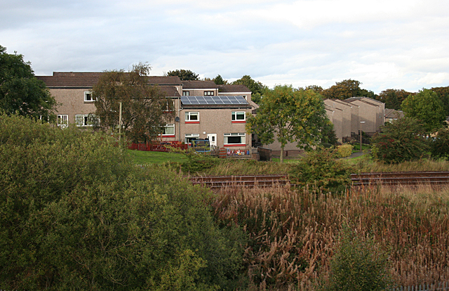
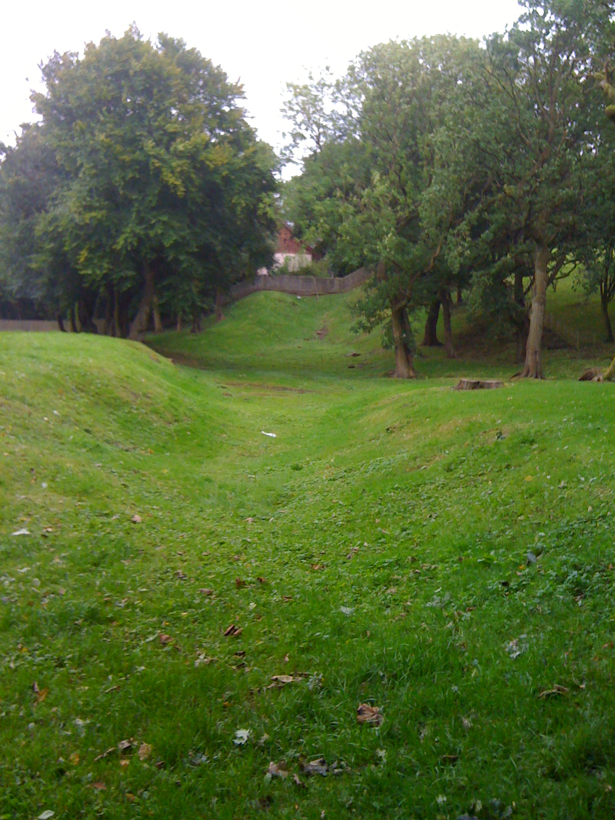
Greenrig Strip is a dense wood situated in Stirlingshire, Scotland. Spanning approximately 100 acres, it is a picturesque forested area renowned for its natural beauty and rich biodiversity. The strip is located near the small village of Greenrig and is easily accessible by foot or car.

The wood is predominantly composed of a variety of native tree species, including oak, birch, and beech, which create a vibrant and lush canopy. The foliage is particularly vibrant during the spring and summer months when the woodland floor is carpeted with colorful wildflowers and ferns.

Greenrig Strip provides a haven for numerous animal species. Visitors may spot a range of bird species, such as woodpeckers, owls, and finches, as they flit through the treetops. The forest is also home to various mammals, including red squirrels, badgers, and roe deer, which can sometimes be observed in their natural habitat.

For outdoor enthusiasts, Greenrig Strip offers an extensive network of well-maintained trails and paths, providing opportunities for walking, hiking, and cycling. These trails cater to all levels of fitness and offer a chance to immerse oneself in the tranquility of nature. There are also picnic areas and benches strategically placed throughout the wood, providing perfect spots for visitors to relax and enjoy the surrounding scenery.

Greenrig Strip is a cherished natural gem in Stirlingshire, attracting both locals and tourists alike. Its unspoiled beauty, diverse wildlife, and recreational opportunities make it a must-visit destination for nature lovers and those seeking a peaceful escape from the bustle of everyday life.

If you have any feedback on the listing, please let us know in the comments section below.

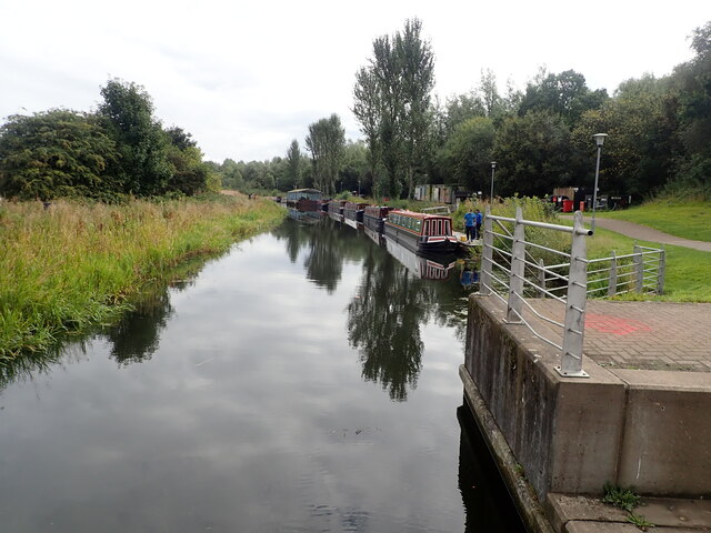
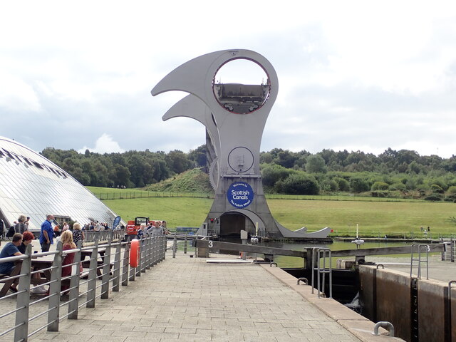
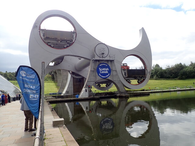
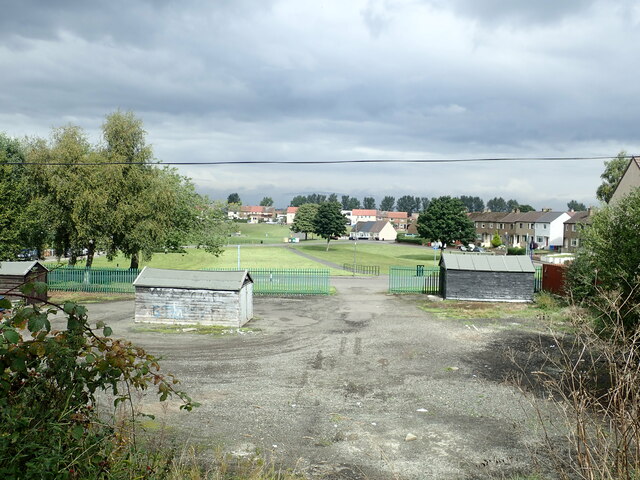
Greenrig Strip Images

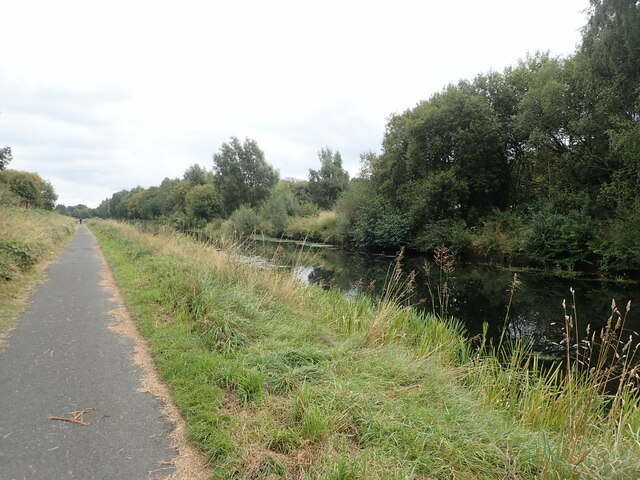
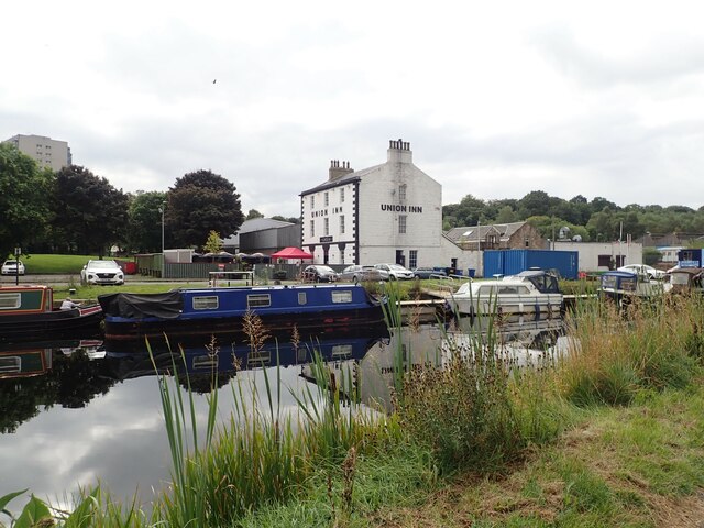
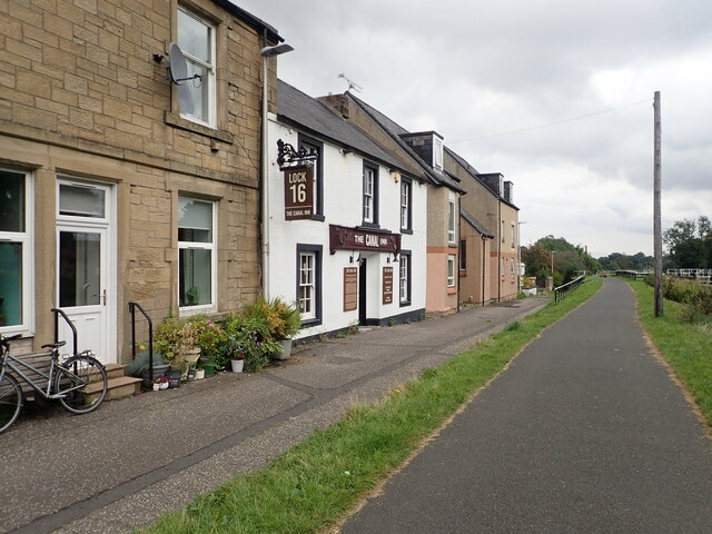
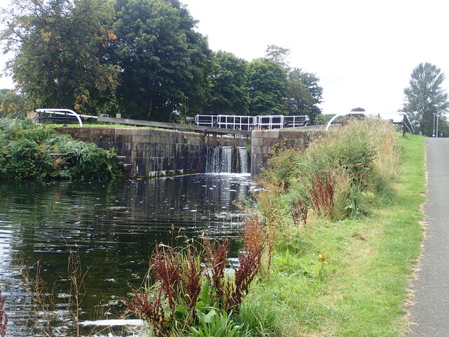
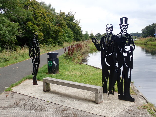
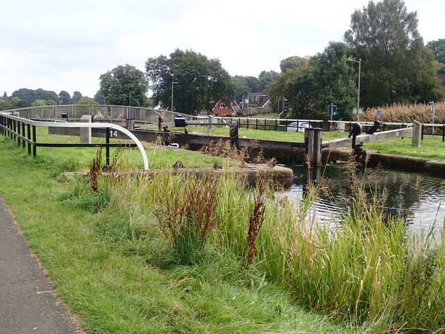
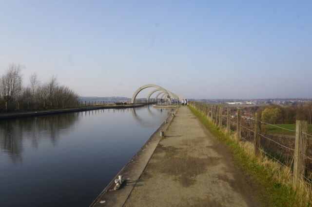
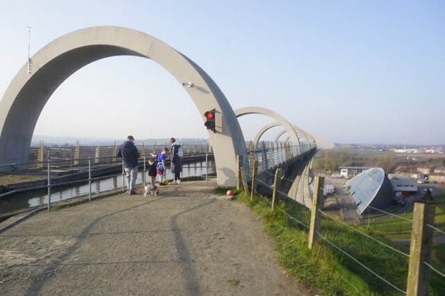
Images are sourced within 2km of 55.986463/-3.8286268 or Grid Reference NS8678. Thanks to Geograph Open Source API. All images are credited.

Falkirk Wheel - upper level sealing arrangement Swinging the boat lift is the easy bit, it is the sealing devices at each level and at each end of the two boat chambers that get complicated. A view from a descending boat.
Falkirk Wheel - upper level sealing arrangement
Swinging the boat lift is the easy bit, it is the sealing devices at each level and at each end of the two boat chambers that get complicated. A view from a descending boat.
Falkirk Wheel and a Kelpie model, 2007 Despite what Wikipedia says, the miniature (1/10) Kelpies existed in 2007, and were not made in 2008. They were on display here before the large size ones were made or even had the finance secured, from what I remember of the display board.
Falkirk Wheel and a Kelpie model, 2007
Despite what Wikipedia says, the miniature (1/10) Kelpies existed in 2007, and were not made in 2008. They were on display here before the large size ones were made or even had the finance secured, from what I remember of the display board.
Forth and Clyde Canal at Lock 16 The Forth and Clyde Canal links Bowling on the Firth of Clyde with Grangemouth on the Firth of Forth. It allowed goods to be transported between the east and west coasts, and to be exported from Glasgow to Europe or from Edinburgh to America, without taking the hazardous route round the north of Scotland or the longer route via the English Channel. 

It is 56 kilometres (35 miles) long and has 39 locks, and the highest point is 47 metres (155 feet) above sea level. Originally there were 33 drawbridges, ten large aqueducts and 33 smaller ones.

It was designed by the engineer John Smeaton and opened in 1790, after over 20 years of planning and construction. 

With time seagoing vessels became too large to pass through the locks, and competition from the railways in the 19th century led to it being more or less disused, and it was closed in 1963.

However it was reopened as a Millennium project in 2001, and linked to the Union Canal by the Falkirk Wheel.
Forth and Clyde Canal at Lock 16
The Forth and Clyde Canal links Bowling on the Firth of Clyde with Grangemouth on the Firth of Forth. It allowed goods to be transported between the east and west coasts, and to be exported from Glasgow to Europe or from Edinburgh to America, without taking the hazardous route round the north of Scotland or the longer route via the English Channel. It is 56 kilometres (35 miles) long and has 39 locks, and the highest point is 47 metres (155 feet) above sea level. Originally there were 33 drawbridges, ten large aqueducts and 33 smaller ones. It was designed by the engineer John Smeaton and opened in 1790, after over 20 years of planning and construction. With time seagoing vessels became too large to pass through the locks, and competition from the railways in the 19th century led to it being more or less disused, and it was closed in 1963. However it was reopened as a Millennium project in 2001, and linked to the Union Canal by the Falkirk Wheel.
The Falkirk Wheel Visitor Centre for the Falkirk Wheel, and behind it the Union Canal culminating in a boat lift
The Falkirk Wheel
Visitor Centre for the Falkirk Wheel, and behind it the Union Canal culminating in a boat lift
Rotating bridge at the basin at the foot of the Falkirk Wheel Opened in 2002 by the Queen, the Falkirk Wheel is a testament to the popularity of canal cruising in the modern era. It connects the Forth and Clyde Canal with the Union Canal, replacing a flight of locks which fell into disuse in the 1930s and had been built on. The wheel raises or lowers boats 24m (79ft) and takes five-and-a-half minutes to complete a rotation. It is now a major visitor attraction.
Rotating bridge at the basin at the foot of the Falkirk Wheel
Opened in 2002 by the Queen, the Falkirk Wheel is a testament to the popularity of canal cruising in the modern era. It connects the Forth and Clyde Canal with the Union Canal, replacing a flight of locks which fell into disuse in the 1930s and had been built on. The wheel raises or lowers boats 24m (79ft) and takes five-and-a-half minutes to complete a rotation. It is now a major visitor attraction.
Narrow boats at the landing stage  On the Forth and Clyde Canal near the Falkirk Wheel
Narrow boats at the landing stage
On the Forth and Clyde Canal near the Falkirk Wheel
Falkirk Wheel Waiting for the wheel to rotate, one gondola is at the top and the other in the tunnel at the bottom
Falkirk Wheel
Waiting for the wheel to rotate, one gondola is at the top and the other in the tunnel at the bottom
Half-way round on the Falkirk Wheel Opened in 2002 by the Queen, the Falkirk Wheel is a testament to the popularity of canal cruising in the modern era. It connects the Forth and Clyde Canal with the Union Canal, replacing a flight of locks which fell into disuse in the 1930s and had been built on. The wheel raises or lowers boats 24m (79ft) and takes five-and-a-half minutes to complete a rotation. It is now a major visitor attraction.
Half-way round on the Falkirk Wheel
Opened in 2002 by the Queen, the Falkirk Wheel is a testament to the popularity of canal cruising in the modern era. It connects the Forth and Clyde Canal with the Union Canal, replacing a flight of locks which fell into disuse in the 1930s and had been built on. The wheel raises or lowers boats 24m (79ft) and takes five-and-a-half minutes to complete a rotation. It is now a major visitor attraction.
Towpath beside the Forth and Clyde Canal 4.1 miles to go to reach the Kelpies from the Falkirk Wheel
Towpath beside the Forth and Clyde Canal
4.1 miles to go to reach the Kelpies from the Falkirk Wheel
Playing fields at Carmuirs
Towpath along the Forth and Clyde Canal The Forth and Clyde Canal links Bowling on the Firth of Clyde with Grangemouth on the Firth of Forth. It allowed goods to be transported between the east and west coasts, and to be exported from Glasgow to Europe or from Edinburgh to America, without taking the hazardous route round the north of Scotland or the longer route via the English Channel. 

It is 56 kilometres (35 miles) long and has 39 locks, and the highest point is 47 metres (155 feet) above sea level. Originally there were 33 drawbridges, ten large aqueducts and 33 smaller ones.

It was designed by the engineer John Smeaton and opened in 1790, after over 20 years of planning and construction. 

With time seagoing vessels became too large to pass through the locks, and competition from the railways in the 19th century led to it being more or less disused, and it was closed in 1963.

However it was reopened as a Millennium project in 2001, and linked to the Union Canal by the Falkirk Wheel.
Towpath along the Forth and Clyde Canal
The Forth and Clyde Canal links Bowling on the Firth of Clyde with Grangemouth on the Firth of Forth. It allowed goods to be transported between the east and west coasts, and to be exported from Glasgow to Europe or from Edinburgh to America, without taking the hazardous route round the north of Scotland or the longer route via the English Channel. It is 56 kilometres (35 miles) long and has 39 locks, and the highest point is 47 metres (155 feet) above sea level. Originally there were 33 drawbridges, ten large aqueducts and 33 smaller ones. It was designed by the engineer John Smeaton and opened in 1790, after over 20 years of planning and construction. With time seagoing vessels became too large to pass through the locks, and competition from the railways in the 19th century led to it being more or less disused, and it was closed in 1963. However it was reopened as a Millennium project in 2001, and linked to the Union Canal by the Falkirk Wheel.
Union Inn near Lock 16  The Union Canal from Edinburgh joined the Forth and Clyde here in 1822. The Union Inn was built beside the basin to cater for boat passengers travelling between Glasgow and Edinburgh.
Union Inn near Lock 16
The Union Canal from Edinburgh joined the Forth and Clyde here in 1822. The Union Inn was built beside the basin to cater for boat passengers travelling between Glasgow and Edinburgh.
Canal Inn Beside the towpath along the Forth and Clyde Canal
Canal Inn
Beside the towpath along the Forth and Clyde Canal
Lock 15 on the Forth and Clyde Canal The Forth and Clyde Canal links Bowling on the Firth of Clyde with Grangemouth on the Firth of Forth. It allowed goods to be transported between the east and west coasts, and to be exported from Glasgow to Europe or from Edinburgh to America, without taking the hazardous route round the north of Scotland or the longer route via the English Channel. 

It is 56 kilometres (35 miles) long and has 39 locks, and the highest point is 47 metres (155 feet) above sea level. Originally there were 33 drawbridges, ten large aqueducts and 33 smaller ones.

It was designed by the engineer John Smeaton and opened in 1790, after over 20 years of planning and construction. 

With time seagoing vessels became too large to pass through the locks, and competition from the railways in the 19th century led to it being more or less disused, and it was closed in 1963.

However it was reopened as a Millennium project in 2001, and linked to the Union Canal by the Falkirk Wheel.
Lock 15 on the Forth and Clyde Canal
The Forth and Clyde Canal links Bowling on the Firth of Clyde with Grangemouth on the Firth of Forth. It allowed goods to be transported between the east and west coasts, and to be exported from Glasgow to Europe or from Edinburgh to America, without taking the hazardous route round the north of Scotland or the longer route via the English Channel. It is 56 kilometres (35 miles) long and has 39 locks, and the highest point is 47 metres (155 feet) above sea level. Originally there were 33 drawbridges, ten large aqueducts and 33 smaller ones. It was designed by the engineer John Smeaton and opened in 1790, after over 20 years of planning and construction. With time seagoing vessels became too large to pass through the locks, and competition from the railways in the 19th century led to it being more or less disused, and it was closed in 1963. However it was reopened as a Millennium project in 2001, and linked to the Union Canal by the Falkirk Wheel.
Local Heroes Cut-out sculptures of three renowned local men - Dr Harold Lyon on the left, who established a centre for palliative care for Central Scotland; Reginald Adams (centre) a swimming trainer over 50 years who coached Scottish champions, and Robert Barr (right) who produced the famous Scottish soft drink "Iron Brew" in 1875
Local Heroes
Cut-out sculptures of three renowned local men - Dr Harold Lyon on the left, who established a centre for palliative care for Central Scotland; Reginald Adams (centre) a swimming trainer over 50 years who coached Scottish champions, and Robert Barr (right) who produced the famous Scottish soft drink "Iron Brew" in 1875
Lock 14 on the Forth and Clyde Canal
Union Canal at the Falkirk Wheel
Show me another place!

Greenrig Strip is located at Grid Ref: NS8678 (Lat: 55.986463, Lng: -3.8286268)

Unitary Authority: Falkirk

Police Authority: Forth Valley

What 3 Words

///inert.northward.widest. Near Hallglen, Falkirk

Nearby Locations

Greenrig Strip Canada Wood

Related Wikis

Battle of Falkirk Muir

The Battle of Falkirk Muir (Scottish Gaelic: Blàr na h-Eaglaise Brice), also known as the Battle of Falkirk, took place on 17 January 1746 during the Jacobite...

Tamfourhill

Tamfourhill is a working-class residential suburb of Falkirk within the Falkirk (council area), Scotland. It is located approximately 1.5 miles (2.5 kilometres...

Bantaskine

Bantaskine is a park with woodlands in Falkirk, Scotland that was formerly the Bantaskine Estate, a coal mining estate. The artist Mary Georgina Wade...

Watling Lodge

Watling Lodge was a Roman fortlet on the Antonine Wall in Scotland. It was located near what is now Lock Sixteen on the Forth and Clyde Canal in Falkirk...

Nearby Amenities

Located within 500m of 55.986463,-3.8286268
Power: pole
Lat/Long: 55.986471/-3.8251413
Power: pole
Lat/Long: 55.9890293/-3.8274163
Power: pole
Lat/Long: 55.9903162/-3.8287764
Power: pole
Lat/Long: 55.9896798/-3.8281043
Power: pole
Lat/Long: 55.9883917/-3.8267553
Power: pole
Lat/Long: 55.9877514/-3.8260906
Power: pole
Lat/Long: 55.9871667/-3.8254718
Power: pole
Lat/Long: 55.9857343/-3.8247937
Power: pole
Lat/Long: 55.9849943/-3.8244509
Power: pole
Lat/Long: 55.9842632/-3.8241055
Power: pole
Lat/Long: 55.9835357/-3.8237878
Charlie's Stanes
Historic: memorial
Lat/Long: 55.9876821/-3.8239906
Bench
Backrest: yes
Material: wood
Seats: 4
Lat/Long: 55.9882184/-3.8312603
Bicycle: yes
Hiking: yes
Horse: yes
Information: guidepost
Tourism: information
Lat/Long: 55.9881609/-3.8311813
Bicycle: yes
Hiking: yes
Information: guidepost
Tourism: information
Lat/Long: 55.9861966/-3.8315549
Bicycle: yes
Hiking: yes
Information: guidepost
Tourism: information
Lat/Long: 55.987001/-3.831413
Bench
Backrest: yes
Material: wood
Seats: 4
Lat/Long: 55.9887834/-3.8332821
Bicycle: yes
Hiking: yes
Information: guidepost
Tourism: information
Lat/Long: 55.989365/-3.8346719
Tourism: information
Lat/Long: 55.9864981/-3.8295969
Hedgerows
Bicycle: yes
Hiking: yes
Information: guidepost
Tourism: information
Lat/Long: 55.9831559/-3.8238966
WW2 Bomber
Bicycle: yes
Hiking: yes
Information: guidepost
Tourism: information
Lat/Long: 55.9893435/-3.8225073
Charles Edward Stuart
Bicycle: yes
Hiking: yes
Information: guidepost
Tourism: information
Lat/Long: 55.9878414/-3.8240314
The Home Guard
Bicycle: yes
Hiking: yes
Information: guidepost
Tourism: information
Lat/Long: 55.9846669/-3.8247187
Charging Station
Authentication Nfc: yes
Authentication Phone Call: yes
Capacity: 2
Contact Phone: +44 330 016 5126
Contact Website: https://bpchargemaster.com/
Fee: yes
Motorcar: yes
Note: Branded Chargemaster #13505, but also ChargePlace Scotland #53225
Opening Hours: 24/7
Operator: Chargemaster;ChargePlace Scotland
Ref: 13505;53225
Scooter: yes
Socket Type2: 2
Socket Type2 Amperage: 32
Source: survey
Lat/Long: 55.9862525/-3.8291424
Noexit: yes
Lat/Long: 55.9864987/-3.8281432
The data included in this document is from www.openstreetmap.org. The data is made available under ODbL.

Have you been to Greenrig Strip?

Leave your review of Greenrig Strip below (or comments, questions and feedback).