Auchingean Wood
Wood, Forest in Stirlingshire
Scotland
Auchingean Wood
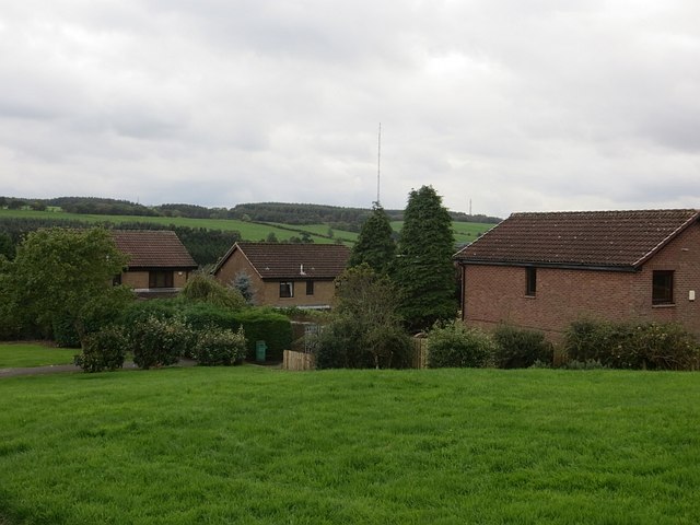
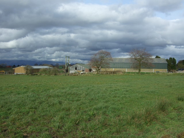
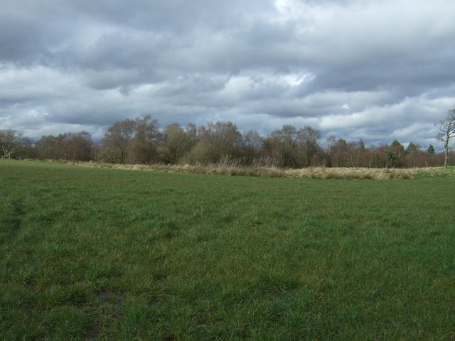
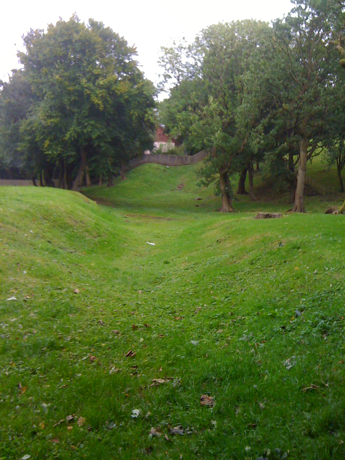
Auchingean Wood is a captivating woodland located in Stirlingshire, Scotland. Spanning over an area of approximately 200 acres, this enchanting forest is a popular destination for nature lovers and outdoor enthusiasts alike. Situated near the village of Thornhill, Auchingean Wood is easily accessible and offers a tranquil retreat away from the hustle and bustle of daily life.
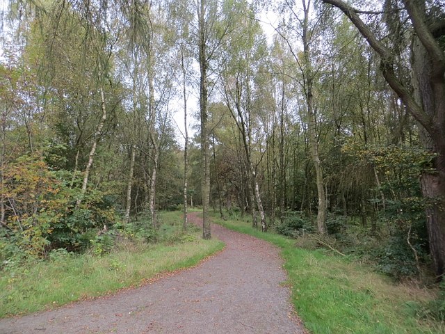
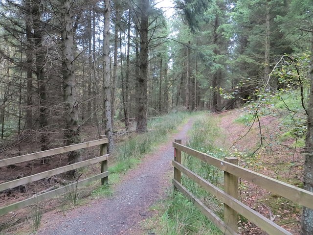
The woodland is primarily composed of native broadleaf trees, including oak, beech, and birch, which provide a diverse and vibrant canopy throughout the seasons. The rich and varied flora and fauna make Auchingean Wood a haven for wildlife, with sightings of red squirrels, roe deer, and a myriad of bird species being common occurrences.
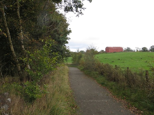
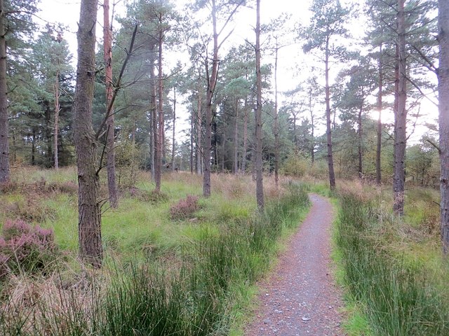
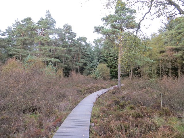
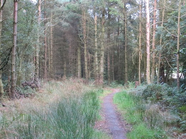
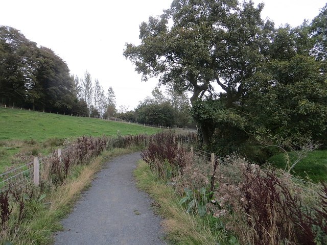
A network of well-maintained walking trails weaves through the wood, providing visitors with the opportunity to explore its natural beauty. These trails range in difficulty, catering to both casual strollers and more avid hikers. Along the way, informational signs offer insight into the woodland's ecological significance and point out notable trees and plants.
In addition to its natural wonders, Auchingean Wood is also home to a small picnic area, making it an ideal spot for a family outing or a peaceful lunch amidst the serene surroundings. The forest is carefully managed by local authorities, ensuring its preservation and continued enjoyment for generations to come.
Whether you are seeking a leisurely stroll, a chance to reconnect with nature, or simply a moment of tranquility, Auchingean Wood in Stirlingshire is a destination that offers all of this and more.
If you have any feedback on the listing, please let us know in the comments section below.
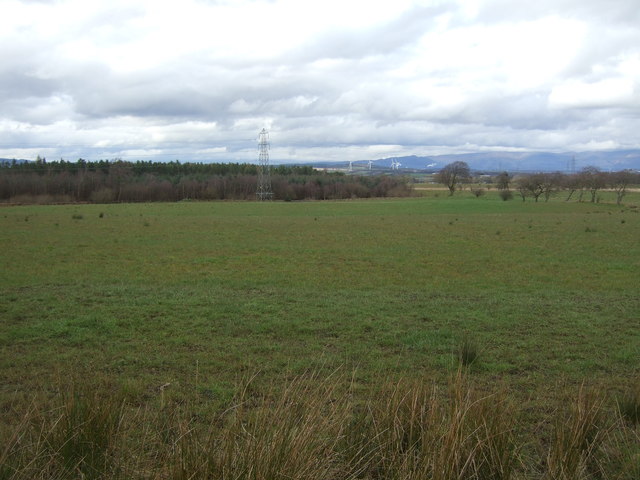
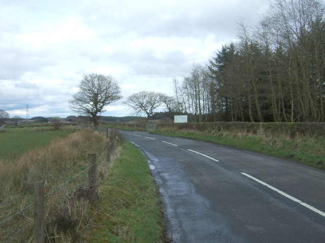
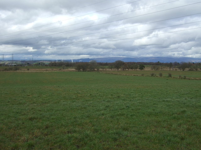
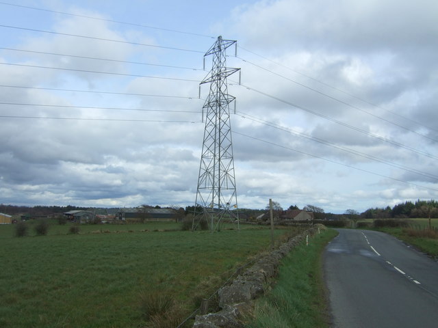
Auchingean Wood Images
Images are sourced within 2km of 55.976329/-3.826626 or Grid Reference NS8677. Thanks to Geograph Open Source API. All images are credited.
Auchingean Wood is located at Grid Ref: NS8677 (Lat: 55.976329, Lng: -3.826626)
Unitary Authority: Falkirk
Police Authority: Forth Valley
What 3 Words
///retaliate.blackouts.sling. Near Hallglen, Falkirk
Nearby Locations
Related Wikis
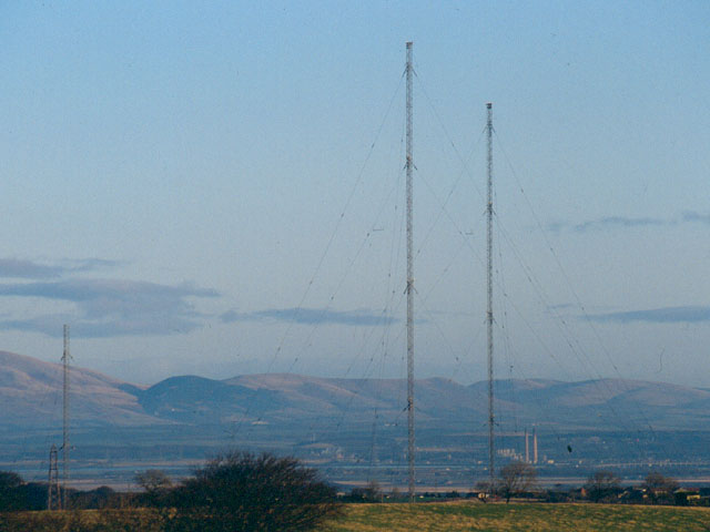
Westerglen transmitting station
The Westerglen transmitting station is a facility for longwave and mediumwave broadcasting established in 1932 at Westerglen Farm, 2 miles (3 km) south...

Battle of Falkirk Muir
The Battle of Falkirk Muir (Scottish Gaelic: Blàr na h-Eaglaise Brice), also known as the Battle of Falkirk, took place on 17 January 1746 during the Jacobite...

Falkirk (council area)
Falkirk (; Scots: Fawkirk [ˈfɔːkɪrk]; Scottish Gaelic: An Eaglais Bhreac) is one of 32 unitary authority council areas of Scotland. It was formed on 1...

Bantaskine
Bantaskine is a park with woodlands in Falkirk, Scotland that was formerly the Bantaskine Estate, a coal mining estate. The artist Mary Georgina Wade...
Tamfourhill
Tamfourhill is a working-class residential suburb of Falkirk within the Falkirk (council area), Scotland. It is located approximately 1.5 miles (2.5 kilometres...
Watling Lodge
Watling Lodge was a Roman fortlet on the Antonine Wall in Scotland. It was located near what is now Lock Sixteen on the Forth and Clyde Canal in Falkirk...

Falkirk High School
Falkirk High School is a high school located in Falkirk, Stirlingshire that was founded in 1886. It is a non-denominational six-year fully comprehensive...

Camelon Juniors F.C.
Camelon Juniors Football Club are a Scottish football club based in Camelon, in the Falkirk district. The team plays in the East of Scotland League First...
Nearby Amenities
Located within 500m of 55.976329,-3.826626Have you been to Auchingean Wood?
Leave your review of Auchingean Wood below (or comments, questions and feedback).