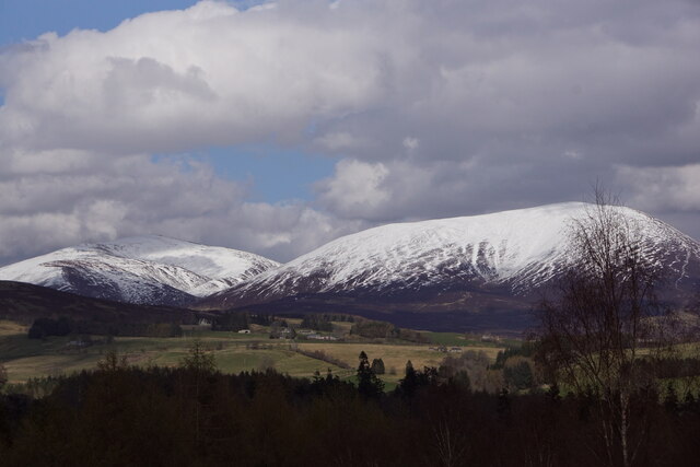
Black Island
Wood, Forest in Perthshire
Scotland
Black Island

The requested URL returned error: 429 Too Many Requests
If you have any feedback on the listing, please let us know in the comments section below.
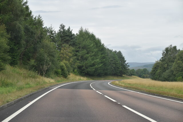
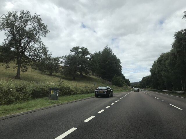
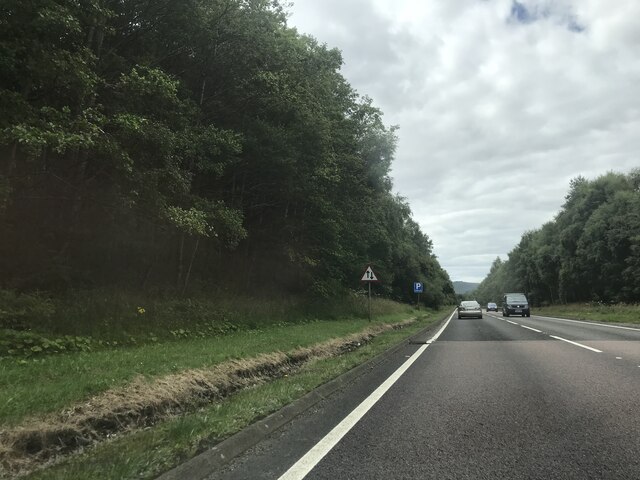
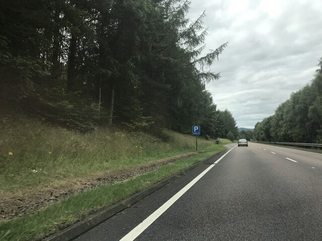
Black Island Images
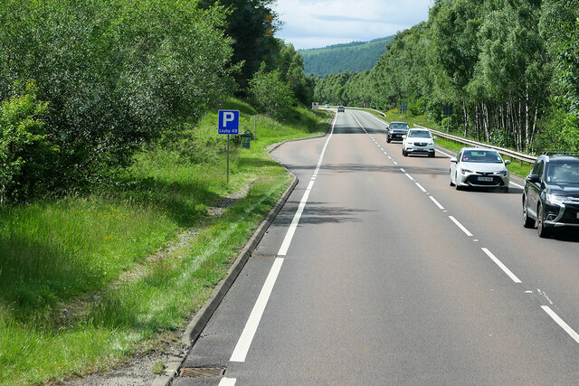
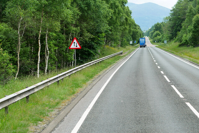
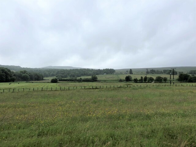
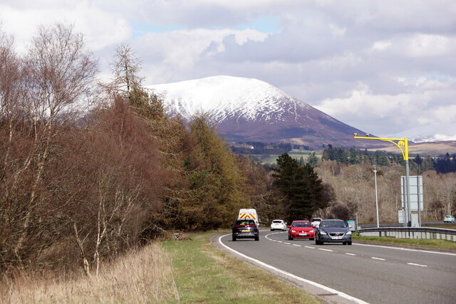
Images are sourced within 2km of 56.767672/-3.8803908 or Grid Reference NN8565. Thanks to Geograph Open Source API. All images are credited.


Black Island is located at Grid Ref: NN8565 (Lat: 56.767672, Lng: -3.8803908)
Unitary Authority: Perth and Kinross
Police Authority: Tayside
What 3 Words
///songbird.envisage.tabloid. Near Blair Atholl, Perth & Kinross
Nearby Locations
Related Wikis

Black Island Platform railway station
Black Island Platform railway station, Blair Atholl, Perth and Kinross, Scotland, was located at an area known as the Black Island beside the River Garry...

Old Blair
Old Blair is a tiny village of 18th century stone houses in Perth and Kinross, Scotland, adjoining and overlooking the grounds of Blair Castle. It is...

Blair Castle
Blair Castle (in Scottish Gaelic: Caisteil Bhlàir) stands in its grounds near the village of Blair Atholl in Perthshire in Scotland. It is the ancestral...
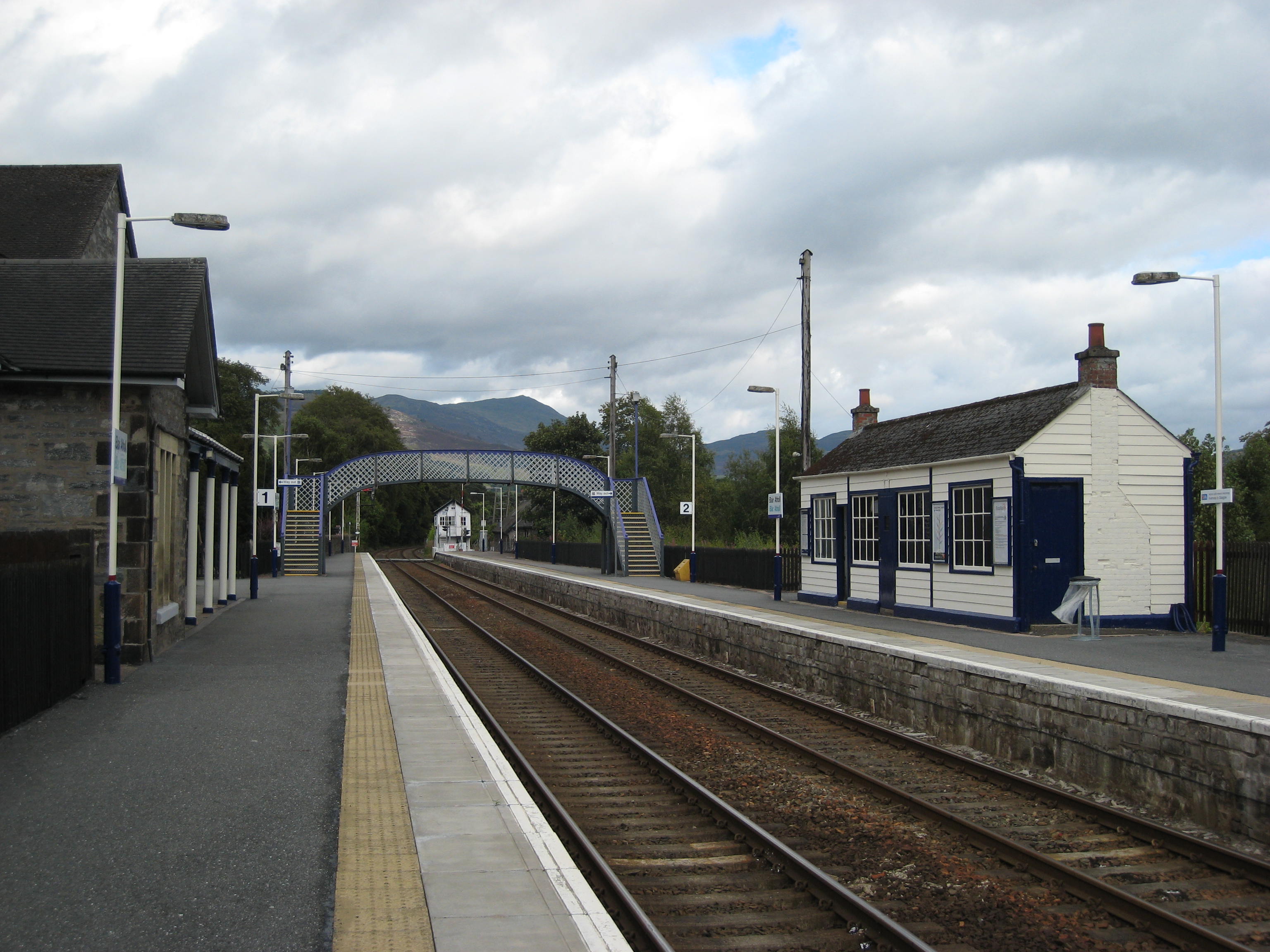
Blair Atholl railway station
Blair Atholl railway station is a railway station serving the town of Blair Atholl, Perth and Kinross, Scotland. The station is managed by ScotRail and...
Nearby Amenities
Located within 500m of 56.767672,-3.8803908Have you been to Black Island?
Leave your review of Black Island below (or comments, questions and feedback).