Barclosh Moss
Wood, Forest in Kirkcudbrightshire
Scotland
Barclosh Moss
Barclosh Moss is a captivating woodland located in Kirkcudbrightshire, Scotland. Spanning over a vast area, this forest boasts a diverse range of flora and fauna, making it a haven for nature enthusiasts and wildlife lovers alike.
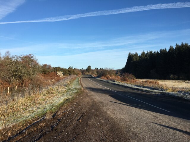
The woodland is characterized by its dense vegetation, which primarily consists of a mixture of deciduous and coniferous trees. Tall, majestic oaks, beeches, and birches dominate the landscape, interspersed with towering spruces and firs, creating a harmonious blend of colors throughout the year. The forest floor is adorned with a lush carpet of mosses, ferns, and wildflowers, adding to its ethereal beauty.
Barclosh Moss is home to a wide variety of wildlife. Deer can often be spotted gracefully roaming through the trees, while foxes and badgers find shelter in the undergrowth. Bird enthusiasts will delight in the melodic songs of various species, including woodpeckers, owls, and thrushes. The forest is also a haven for smaller creatures such as squirrels, rabbits, and hedgehogs.
The woodland offers a tranquil retreat for outdoor activities and recreation. Walking trails meander through the forest, providing visitors with an opportunity to immerse themselves in its natural splendor. The gentle rustling of leaves, the scent of pine, and the occasional sighting of a rare plant or animal species add to the allure of this enchanting woodland.
Barclosh Moss is a true gem in Kirkcudbrightshire, offering a serene escape into the heart of nature. Whether one seeks solitude, adventure, or simply wishes to marvel at the wonders of the natural world, this forest is a must-visit destination.
If you have any feedback on the listing, please let us know in the comments section below.
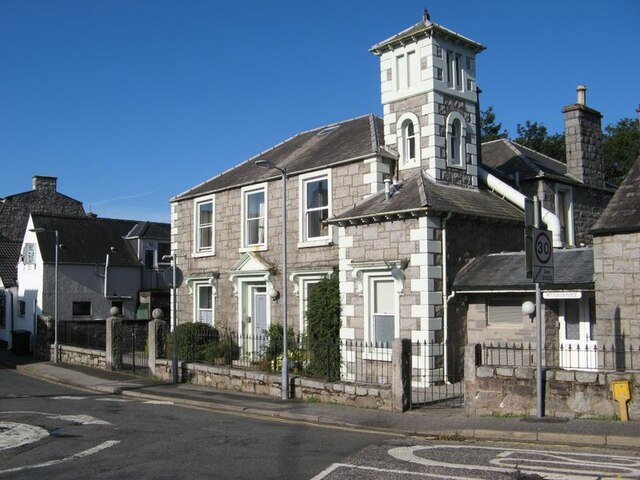
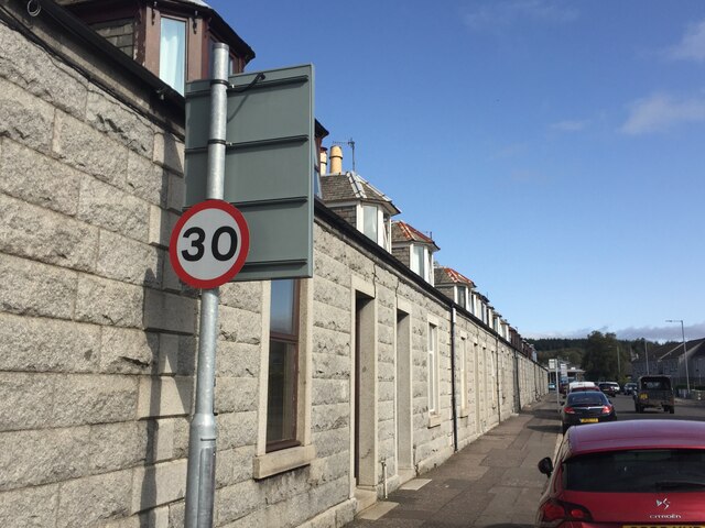
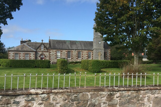
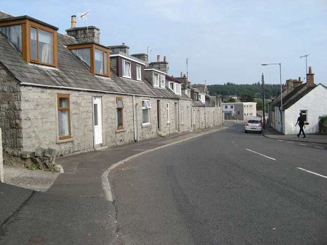
Barclosh Moss Images
Images are sourced within 2km of 54.935694/-3.7970437 or Grid Reference NX8461. Thanks to Geograph Open Source API. All images are credited.


Barclosh Moss is located at Grid Ref: NX8461 (Lat: 54.935694, Lng: -3.7970437)
Unitary Authority: Dumfries and Galloway
Police Authority: Dumfries and Galloway
What 3 Words
///cans.deadline.subtitle. Near Dalbeattie, Dumfries & Galloway
Nearby Locations
Related Wikis

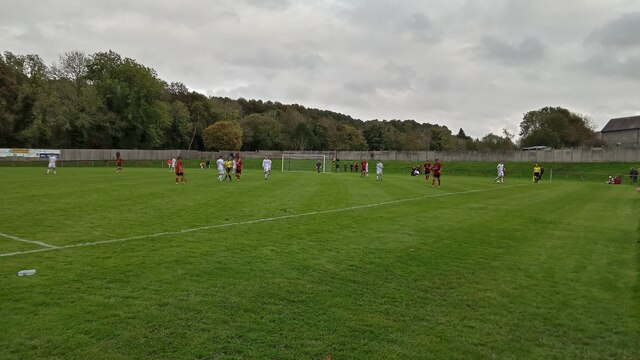
Dalbeattie Star F.C.
Dalbeattie Star Football Club is a Scottish association football club based in Dalbeattie, Dumfries and Galloway. It currently competes in the South of...

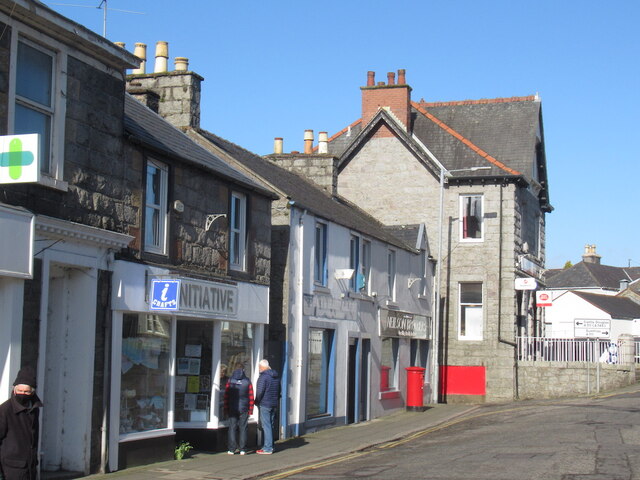
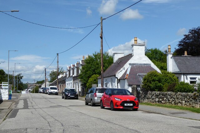
Dalbeattie
Dalbeattie (, Scots: Dawbeattie, Scottish Gaelic: Dail Bheithe meaning 'haugh of the birch' or Dail bhàite 'drowned (i.e. liable to flood) haugh') is a...
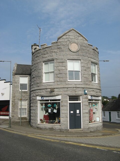
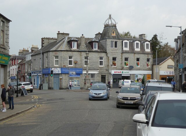
Dalbeattie Town Hall
Dalbeattie Town Hall is a municipal building in the High Street in Dalbeattie, Dumfries and Galloway, Scotland. The structure, which is used as community...

Dalbeattie railway station
Dalbeattie railway station served the town of Dalbeattie, Dumfries and Galloway, Scotland from 1859 to 1965 on the Castle Douglas and Dumfries Railway...
Nearby Amenities
Located within 500m of 54.935694,-3.7970437Have you been to Barclosh Moss?
Leave your review of Barclosh Moss below (or comments, questions and feedback).