Aber-big
Settlement in Monmouthshire
Wales
Aber-big
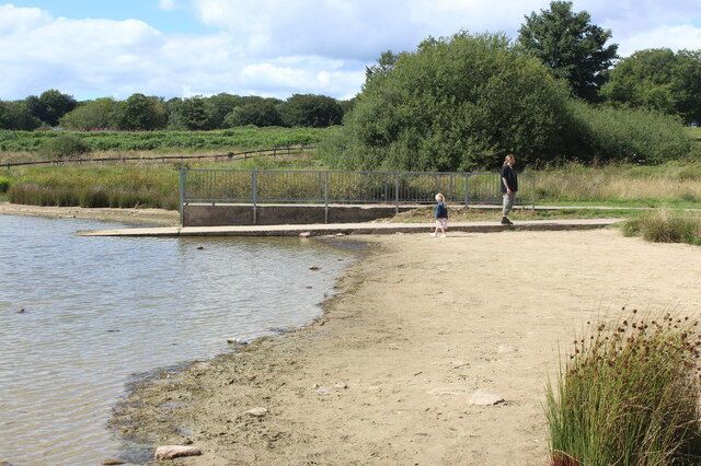
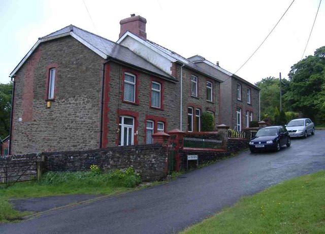
Aber-big is a small village located in Monmouthshire, Wales. Situated in the southeastern part of the country, it lies on the banks of the River Usk, just a few miles northwest of the town of Abergavenny.
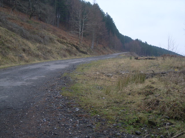
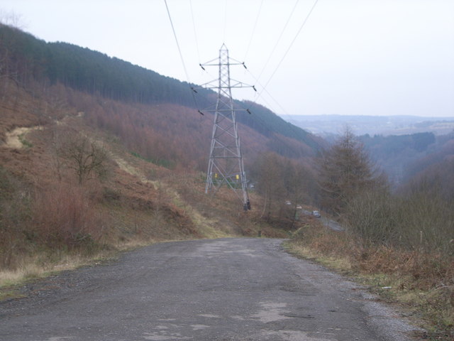
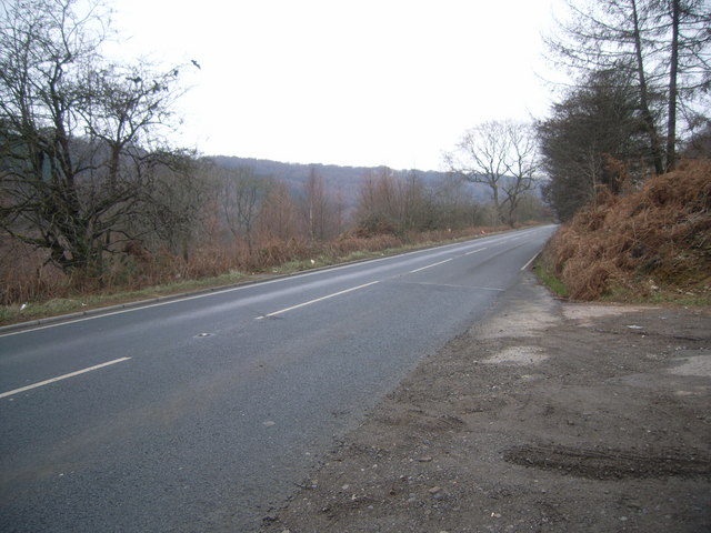
With a population of around 500 residents, Aber-big exudes a tranquil and picturesque ambiance. The village is surrounded by beautiful rolling hills and lush green countryside, making it a popular destination for nature enthusiasts and hikers. The River Usk, flowing through the village, adds to its charm, offering opportunities for fishing and boating.
Aber-big boasts a rich history that dates back centuries. In the past, it served as an important crossing point on the river, leading to its development as a market town. Today, remnants of its historical past can still be seen in the form of old buildings and structures, including the 13th-century St. Peter's Church, which stands as a testament to the village's heritage.
While Aber-big is primarily a residential area, it does have a few amenities to offer its residents and visitors. These include a small convenience store, a pub, and a village hall, which serves as a hub for community events and gatherings.
Overall, Aber-big presents a peaceful and idyllic setting for those seeking a quiet retreat in the Welsh countryside. Its natural beauty, historical significance, and close-knit community make it an appealing place to visit or call home.
If you have any feedback on the listing, please let us know in the comments section below.
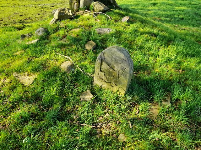
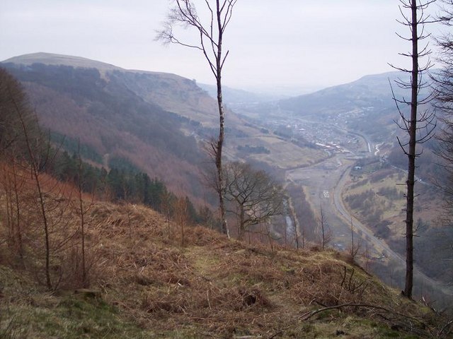
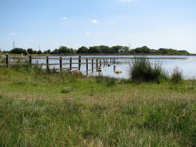
Aber-big Images
Images are sourced within 2km of 51.710281/-3.148015 or Grid Reference SO2001. Thanks to Geograph Open Source API. All images are credited.
Aber-big is located at Grid Ref: SO2001 (Lat: 51.710281, Lng: -3.148015)
Unitary Authority: Caerphilly
Police Authority: Gwent
Also known as: Aberbeeg
What 3 Words
///digested.toxic.pigtails. Near Abertillery, Blaenau Gwent
Nearby Locations
Related Wikis

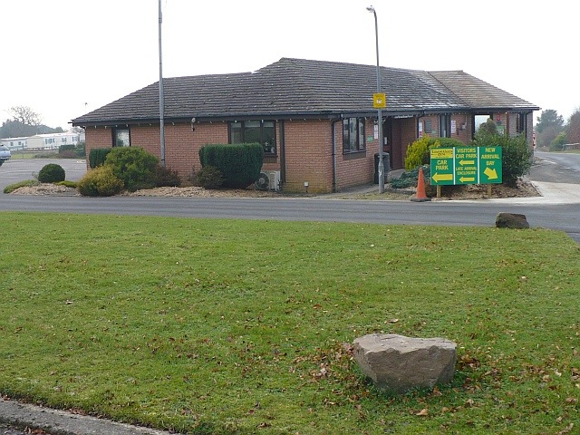
Abertillery and District Hospital
Abertillery and District Hospital (Welsh: Ysbyty Abertyleri a'r Cylch) was a community hospital in Aberbeeg, near Abertillery, in Blaenau Gwent County...

Aberbeeg
The small village of Aberbeeg (from Welsh Aber-bîg 'mouth of the river Bîg') lies in both the county borough of Blaenau Gwent and Caerphilly County Borough...
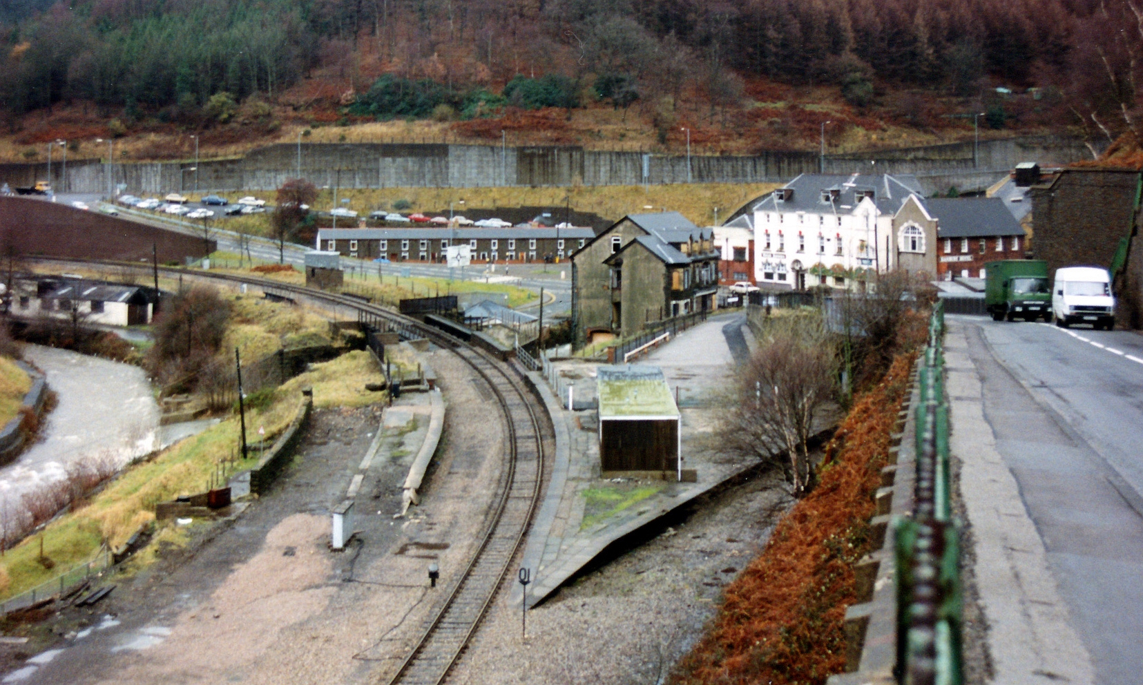
Aberbeeg railway station
Aberbeeg railway station served the village of Aberbeeg in Monmouthshire, Wales. It was the junction where the Monmouthshire Railway and Canal Company...

Brynithel
Brynithel is a village in the Ebbw Valley in Blaenau Gwent. It belongs in the community of Llanhilleth. It is located 1.79 miles (2.88 km) south of Abertillery...

St Illtyd's Church, Llanhilleth
St Illtyd's Church is a deconsecrated church in Llanhilleth, Blaenau Gwent, Wales. A Grade II* listed building, it is the oldest standing building in the...

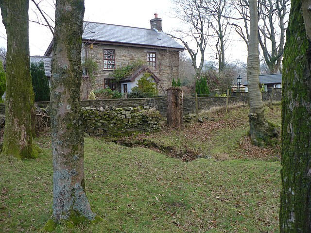
St Illtyd
St Illtyd is a hamlet near Aberbeeg, in southeast Wales, within the historic boundaries of Monmouthshire. It is situated on the mountain road between Pontypool...

Llanhilleth railway station
Llanhilleth railway station (Welsh: Llanhiledd) is a railway station on the Ebbw Valley Railway and serves the village of Llanhilleth, Wales. == History... ==
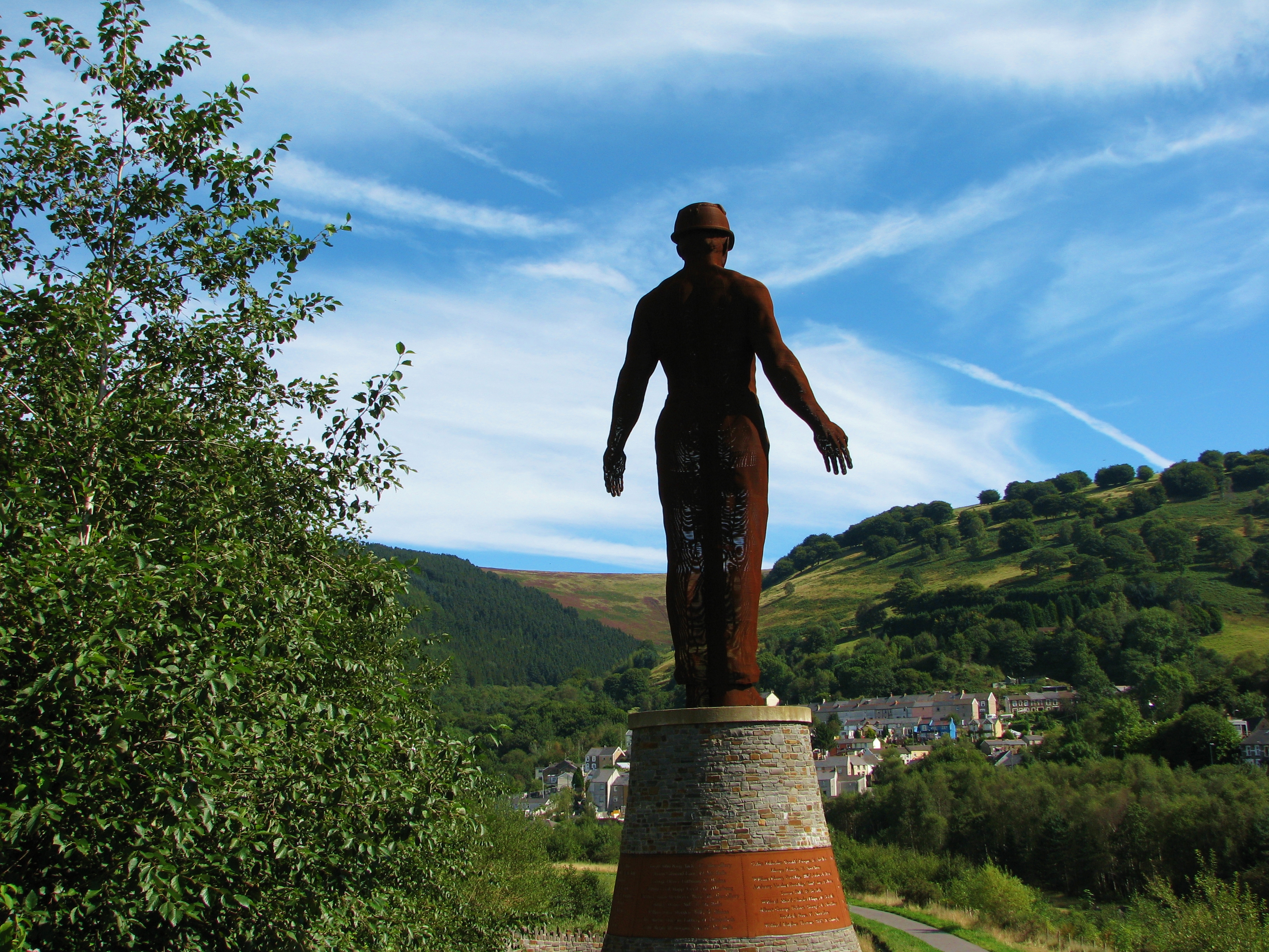
Guardian (sculpture)
The Guardian is a 20 m (66 ft) tall statue overlooking Parc Arael Griffin, the landscaped former Six Bells Colliery site, in the South Wales mining town...
Nearby Amenities
Located within 500m of 51.710281,-3.148015Have you been to Aber-big?
Leave your review of Aber-big below (or comments, questions and feedback).