Bolfracks Wood
Wood, Forest in Perthshire
Scotland
Bolfracks Wood

The requested URL returned error: 429 Too Many Requests
If you have any feedback on the listing, please let us know in the comments section below.
Bolfracks Wood Images
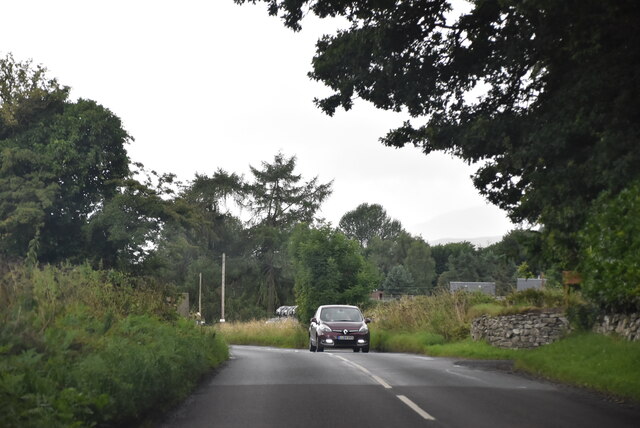
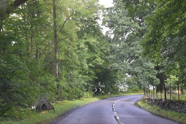
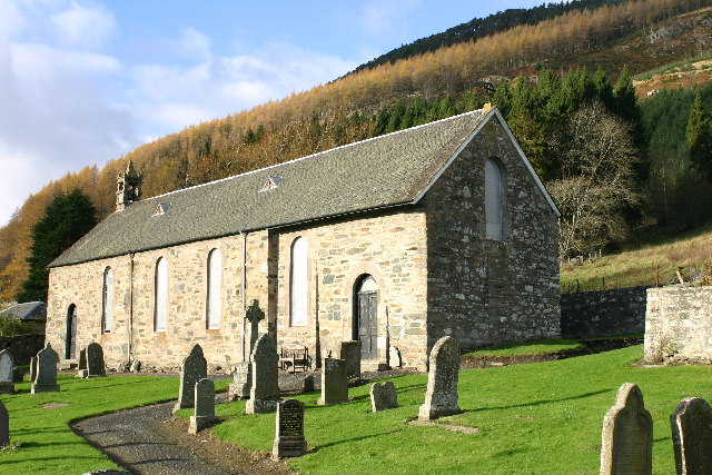
Images are sourced within 2km of 56.607454/-3.9160525 or Grid Reference NN8247. Thanks to Geograph Open Source API. All images are credited.


Bolfracks Wood is located at Grid Ref: NN8247 (Lat: 56.607454, Lng: -3.9160525)
Unitary Authority: Perth and Kinross
Police Authority: Tayside
What 3 Words
///extensive.contexts.steady. Near Aberfeldy, Perth & Kinross
Nearby Locations
Related Wikis
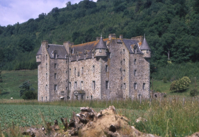
Castle Menzies
Castle Menzies in Scotland is the ancestral seat of the Clan Menzies and the Menzies Baronets. It is located a little to the west of the small village...
Dull, Perth and Kinross
Dull (Scottish Gaelic: Dul, pronounced [t̪ul̪ˠ]) is a village in Perth and Kinross, Scotland. It is paired with Boring, Oregon. Bland, New South Wales...

Weem
Weem (Scottish Gaelic: Baile a' Chlachain) is a village on the B846 near Aberfeldy in Perthshire, Scotland. The name Weem is derived from the Gaelic uamh...

Weem Castle
Weem Castle is a former castle near Weem, Scotland. The castle was located near Castle Menzies. The castle became the seat of the Menzies family after...
Nearby Amenities
Located within 500m of 56.607454,-3.9160525Have you been to Bolfracks Wood?
Leave your review of Bolfracks Wood below (or comments, questions and feedback).