Carnoustie
Settlement in Angus
Scotland
Carnoustie

Carnoustie is a town located in the county of Angus, Scotland. Situated on the east coast, it lies approximately 11 miles east of the city of Dundee. With a population of around 12,000 people, Carnoustie is known for its stunning coastline and world-renowned golf courses.
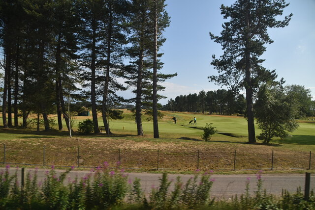
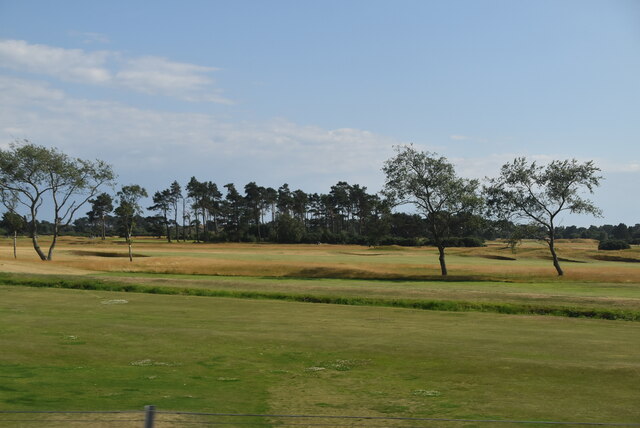
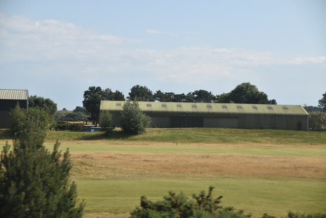
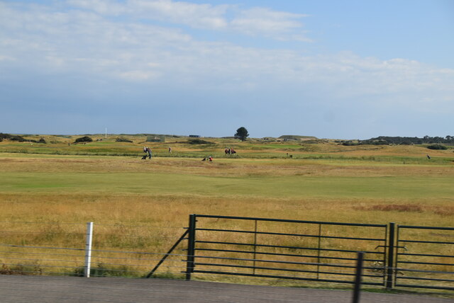
The town's history dates back to the medieval period, and it was once a thriving fishing village. Today, it has evolved into a popular tourist destination, attracting golf enthusiasts from around the globe. Carnoustie Golf Links is one of the most famous golfing venues in the world, hosting numerous tournaments including The Open Championship. The championship course, known as Carnoustie Championship, is renowned for its challenging layout and is considered one of the toughest courses on the Open rota.
Aside from golf, Carnoustie offers a range of attractions and amenities. Visitors can explore the picturesque beaches, indulge in water sports, or take leisurely walks along the promenade. The town boasts a variety of shops, restaurants, and cafes, providing ample opportunities for shopping and dining.
Carnoustie also has a rich cultural heritage, with several historical landmarks and attractions. Barry Mill, a working water-powered corn mill, allows visitors to experience a traditional milling process. The Carnoustie Panmure Football Club, founded in 1890, is another prominent feature of the town and contributes to its vibrant sports scene.
Overall, Carnoustie is a charming coastal town with a rich golfing heritage, stunning natural beauty, and a warm community spirit that welcomes visitors from near and far.
If you have any feedback on the listing, please let us know in the comments section below.
Carnoustie Images
Images are sourced within 2km of 56.501466/-2.709022 or Grid Reference NO5634. Thanks to Geograph Open Source API. All images are credited.


Carnoustie is located at Grid Ref: NO5634 (Lat: 56.501466, Lng: -2.709022)
Unitary Authority: Angus
Police Authority: Tayside
What 3 Words
///chapters.whistling.prawn. Near Carnoustie, Angus
Nearby Locations
Related Wikis

Battle of Barry
The Battle of Barry is a legendary battle in which the Scots, purportedly led by Malcolm II, defeated a Danish invasion force in 1010 AD. Its supposed...
Carnoustie
Carnoustie (; Scottish Gaelic: Càrn Ùstaidh) is a town and former police burgh in the council area of Angus, Scotland. It is at the mouth of the Barry...
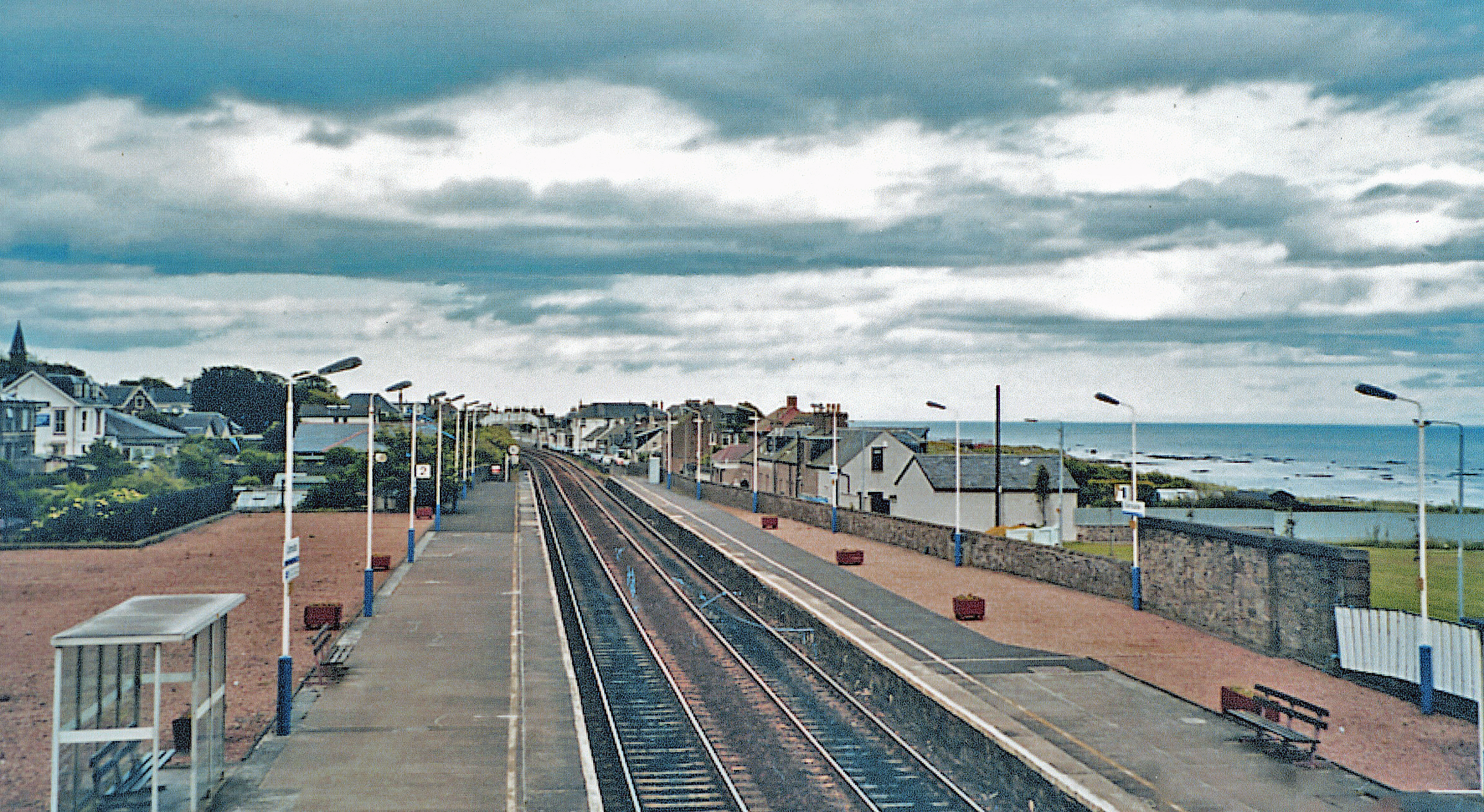
Carnoustie railway station
Carnoustie railway station is a railway station which serves the town of Carnoustie, Angus, Scotland. It is sited 10 miles 33 chains (16.8 km) east of...

1975 Open Championship
The 1975 Open Championship was the 104th Open Championship, played 9–13 July at Carnoustie Golf Links in Scotland. In his first Open, Tom Watson won an...
2010 Senior Open Championship
The 2010 Senior Open Championship was a senior major golf championship and the 24th Senior Open Championship, held from 22–25 July at Carnoustie Golf Links...
1999 Open Championship
The 1999 Open Championship was a men's major golf championship and the 128th Open Championship, held from 15 to 18 July at the Carnoustie Golf Links in...
2011 Women's British Open
The 2011 Ricoh Women's British Open was held 28–31 July at Carnoustie Golf Links in Angus, Scotland. It was the 35th Women's British Open, and the 11th...
2021 Women's British Open
The 2021 AIG Women's British Open was played from 19 to 22 August in Scotland at Carnoustie Golf Links. It was the 45th Women's British Open, the 21st...
Nearby Amenities
Located within 500m of 56.501466,-2.709022Have you been to Carnoustie?
Leave your review of Carnoustie below (or comments, questions and feedback).