Carnoustie Bay
Bay in Angus
Scotland
Carnoustie Bay

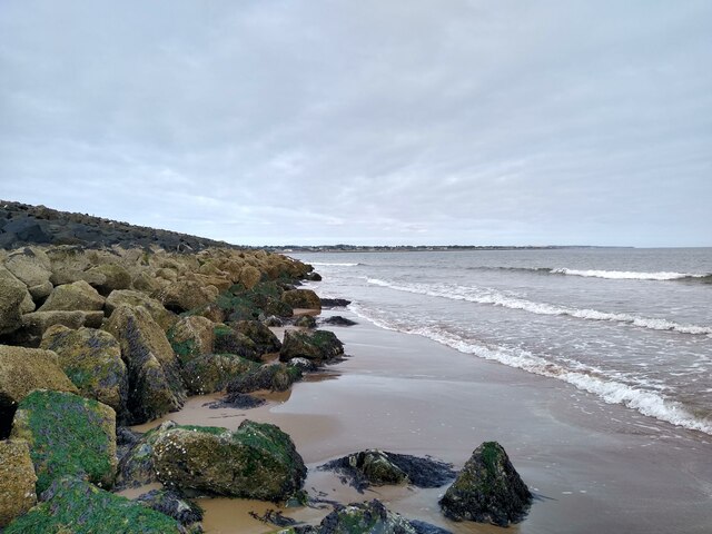
Carnoustie Bay is a picturesque bay located in Angus, Scotland. Situated on the eastern coast of the country, it boasts stunning views and a rich history. The bay is characterized by its sandy beach, which stretches for approximately two miles and is a popular destination for locals and tourists alike.
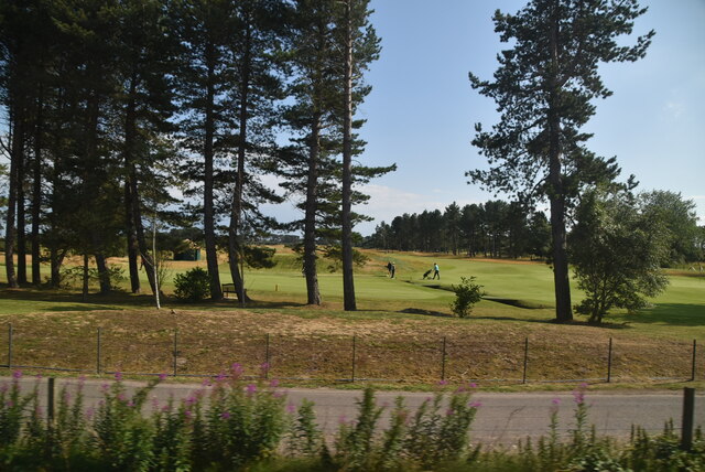
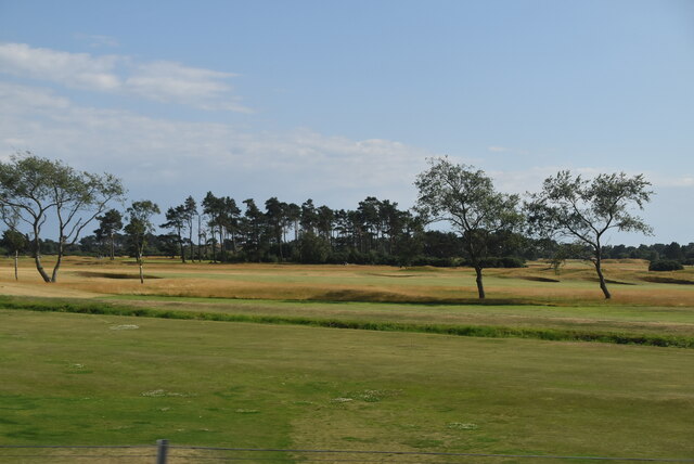
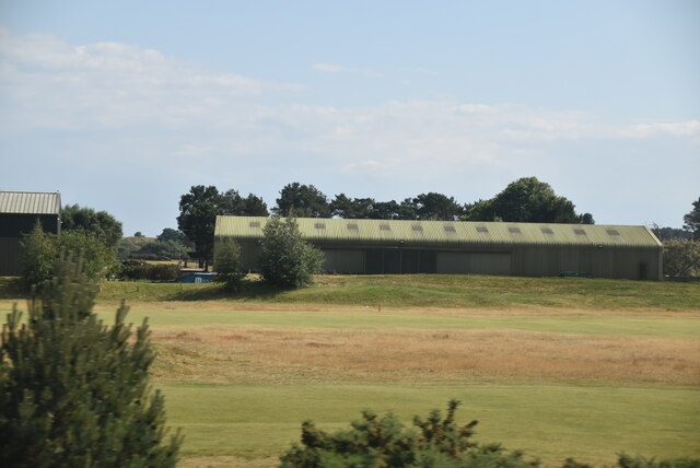
The bay is known for its challenging golf course, the Carnoustie Golf Links, which is regarded as one of the most prestigious courses in the world. It has hosted numerous major golf championships, including The Open Championship, and attracts golf enthusiasts from around the globe.
In addition to its golfing reputation, Carnoustie Bay offers a range of recreational activities for visitors. The calm waters of the bay are ideal for swimming, sailing, and kayaking, providing ample opportunities for water sports enthusiasts. The beach is also a great place for leisurely walks, picnics, and sunbathing during the summer months.
The bay is surrounded by a charming coastal town, also named Carnoustie, which offers a variety of amenities and attractions. Visitors can explore the town's historic architecture, indulge in delicious local cuisine, or visit the Carnoustie Golf Museum to learn more about the sport's history in the area.
Overall, Carnoustie Bay provides a perfect combination of natural beauty, recreational opportunities, and cultural attractions. Whether you are a golf enthusiast, a beach lover, or someone seeking a peaceful coastal retreat, this bay in Angus is sure to captivate and charm.
If you have any feedback on the listing, please let us know in the comments section below.
Carnoustie Bay Images
Images are sourced within 2km of 56.496327/-2.705677 or Grid Reference NO5634. Thanks to Geograph Open Source API. All images are credited.


Carnoustie Bay is located at Grid Ref: NO5634 (Lat: 56.496327, Lng: -2.705677)
Unitary Authority: Angus
Police Authority: Tayside
What 3 Words
///voice.decide.cement. Near Carnoustie, Angus
Nearby Locations
Related Wikis
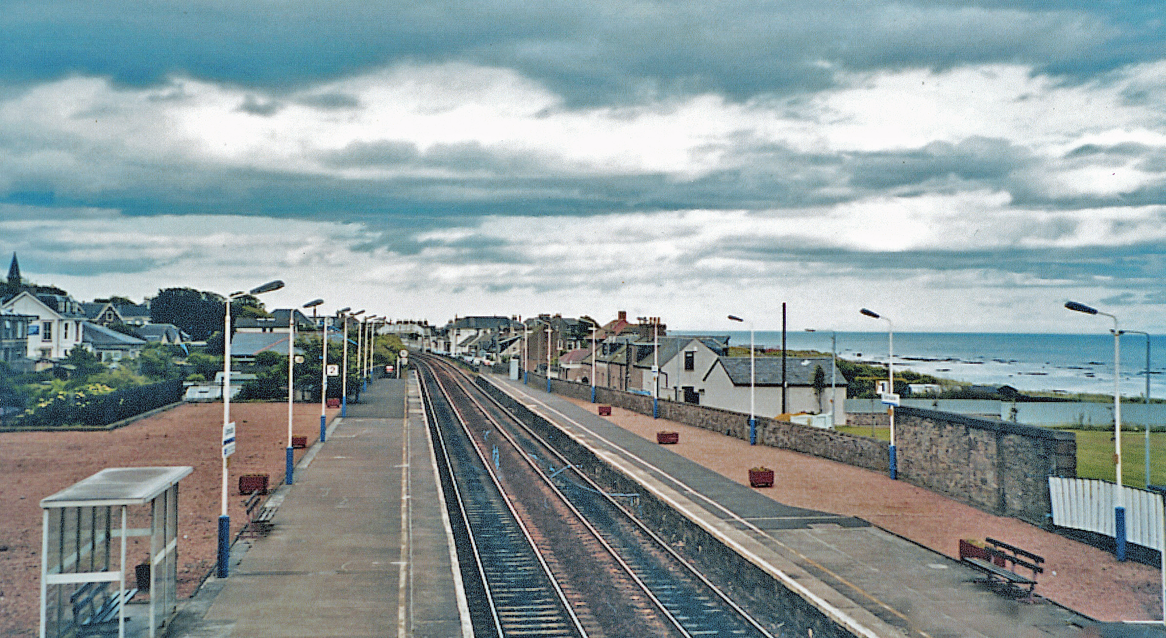
Carnoustie railway station
Carnoustie railway station is a railway station which serves the town of Carnoustie, Angus, Scotland. It is sited 10 miles 33 chains (16.8 km) east of...

Battle of Barry
The Battle of Barry is a legendary battle in which the Scots, purportedly led by Malcolm II, defeated a Danish invasion force in 1010 AD. Its supposed...
Carnoustie
Carnoustie (; Scottish Gaelic: Càrn Ùstaidh) is a town and former police burgh in the council area of Angus, Scotland. It is at the mouth of the Barry...

Barry Burn
The Barry Burn, otherwise known as Pitairlie Burn is a minor river in Angus, Scotland. It rises in the eastern portion of the Sidlaw Hills and flows past...
Nearby Amenities
Located within 500m of 56.496327,-2.705677Have you been to Carnoustie Bay?
Leave your review of Carnoustie Bay below (or comments, questions and feedback).