Torrechan Plantation

Wood, Forest in Kirkcudbrightshire

Scotland

Torrechan Plantation

Ready to go A fleet of sailing dinghies ready to take to the water at the Solway Yacht Club slipway.
Ready to go Credit: Jonathan Wilkins

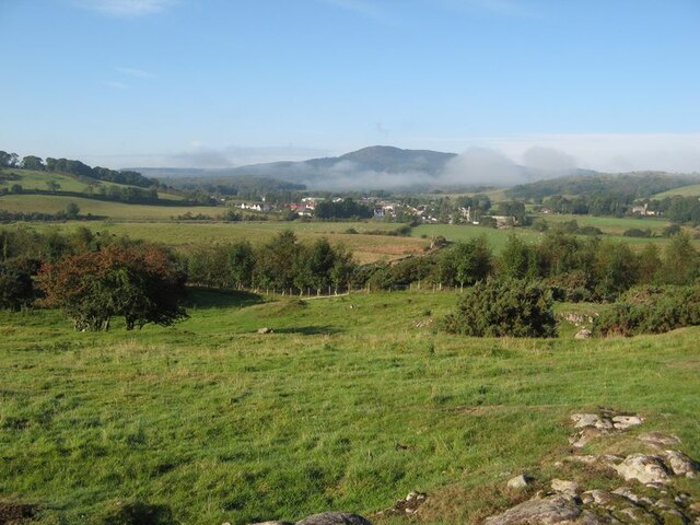
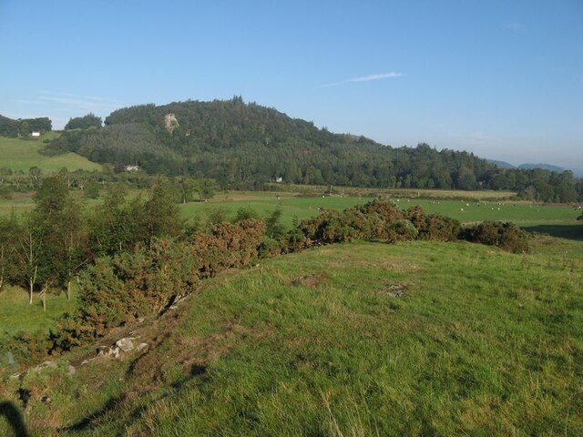
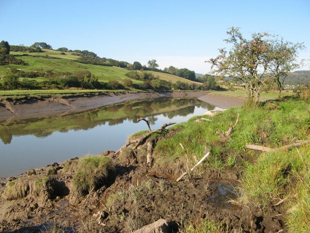
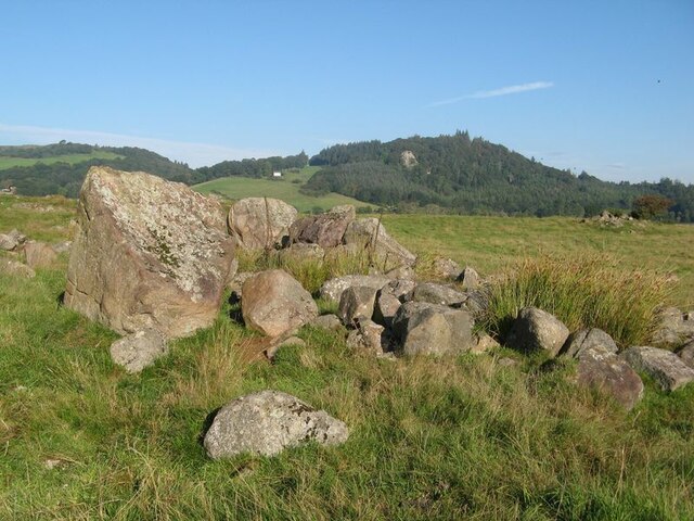
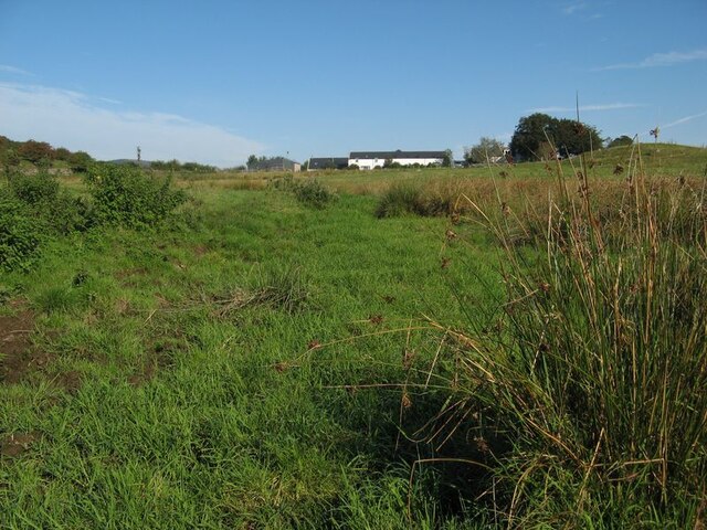
Torrechan Plantation is a picturesque woodland located in the region of Kirkcudbrightshire in southwestern Scotland. Encompassing an area of approximately 200 acres, it is a notable destination for nature enthusiasts, hikers, and those seeking tranquility amidst natural beauty.

The plantation primarily consists of a variety of native tree species, including oak, birch, beech, and pine, which create a diverse and vibrant ecosystem. These trees, along with a dense undergrowth of ferns, mosses, and wildflowers, provide shelter, food, and nesting sites for a wide range of wildlife.

Visitors to Torrechan Plantation can explore its extensive network of walking trails, which wind their way through the woodland, offering stunning views and opportunities to observe the local flora and fauna. The paths are well-maintained and suitable for all levels of fitness, making them accessible to both casual strollers and more adventurous hikers.

Notably, Torrechan Plantation is also home to a variety of bird species, including woodpeckers, owls, and various songbirds. Birdwatchers can often spot these feathered residents perched on tree branches or soaring through the sky.

The plantation boasts a rich history, with some sections dating back several centuries. It has been carefully managed and maintained by local authorities to preserve its natural integrity while ensuring the safety and enjoyment of visitors.

Overall, Torrechan Plantation offers a serene and captivating experience for nature lovers, providing a welcome respite from the hustle and bustle of modern life.

If you have any feedback on the listing, please let us know in the comments section below.

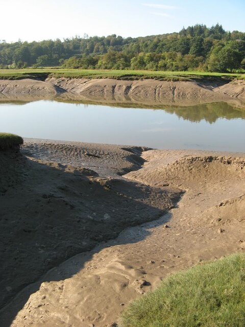
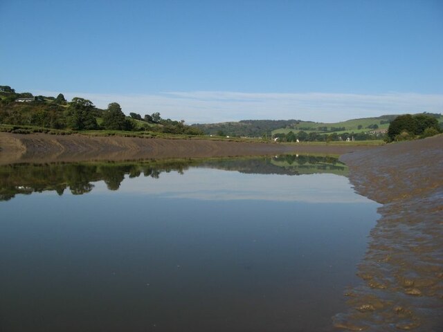
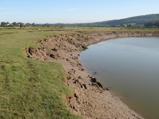
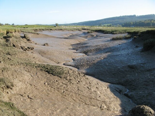
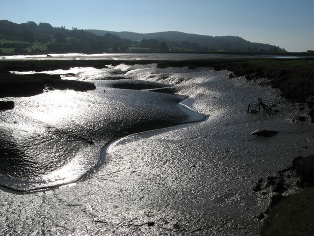
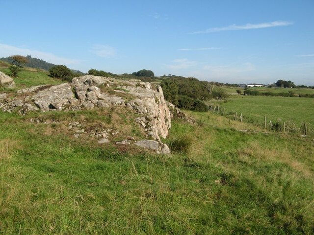
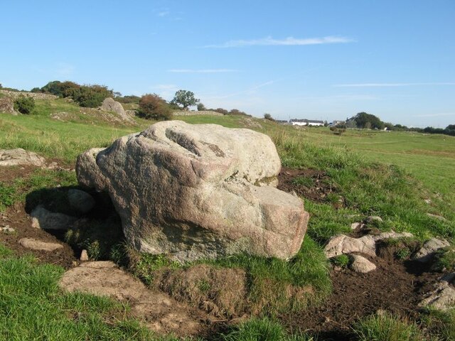
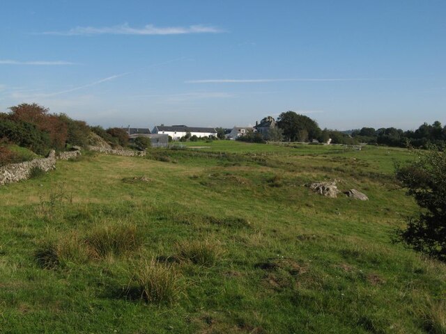
Torrechan Plantation Images

Images are sourced within 2km of 54.881479/-3.8361427 or Grid Reference NX8255. Thanks to Geograph Open Source API. All images are credited.

Ready to go A fleet of sailing dinghies ready to take to the water at the Solway Yacht Club slipway.
Ready to go
A fleet of sailing dinghies ready to take to the water at the Solway Yacht Club slipway.
Boat storage Boats standing on saltmarsh above the normal tide level.
Boat storage
Boats standing on saltmarsh above the normal tide level.
Orchardton valley Looking over fields in the Orchardton valley from the elevated ruins of Orchardton Tower.
Orchardton valley
Looking over fields in the Orchardton valley from the elevated ruins of Orchardton Tower.
View to the tower From this location by the farm entrance the tower appears to be complete, though I imagine it has lost its original roof.
View to the tower
From this location by the farm entrance the tower appears to be complete, though I imagine it has lost its original roof.
View to The Holm The Orchardton valley is secluded with wide, grazed fields and wooded slopes. The Holm hides in its own patch of trees, but the outlying cottage is prominent on the slope.
View to The Holm
The Orchardton valley is secluded with wide, grazed fields and wooded slopes. The Holm hides in its own patch of trees, but the outlying cottage is prominent on the slope.
Urr Water valley Despite its prominence on the map, the river is lost in the landscape of meadows, woodland and hedges. The view across the valley takes in the vision of Screel Hill rising above early mists.
Urr Water valley
Despite its prominence on the map, the river is lost in the landscape of meadows, woodland and hedges. The view across the valley takes in the vision of Screel Hill rising above early mists.
Urr Water valley 2 A view to the northwest over the valley of the Urr Water, which is invisible in its distant, incised course. Lush meadows occupy the low ground, in contrast to the granite knoll from which the image was captured.
Urr Water valley 2
A view to the northwest over the valley of the Urr Water, which is invisible in its distant, incised course. Lush meadows occupy the low ground, in contrast to the granite knoll from which the image was captured.
Urr Water by Palnackie Brae A view upstream of the river at low tide with reflections of Palnackie Brae.
Urr Water by Palnackie Brae
A view upstream of the river at low tide with reflections of Palnackie Brae.
Boulder cache The fields atop the hill of Meikle Richorn have been improved by pulling out large boulders which are gathered in clumps like this. Granite is a rock easily quarried by glacial processes, so these are not far-travelled and reflect the underlying geology, though actual rock outcrop is sparse.
Boulder cache
The fields atop the hill of Meikle Richorn have been improved by pulling out large boulders which are gathered in clumps like this. Granite is a rock easily quarried by glacial processes, so these are not far-travelled and reflect the underlying geology, though actual rock outcrop is sparse.
Muddy river banks Mud banks at the side of Urr Water on a falling tide, though there is a good way to go yet.
Muddy river banks
Mud banks at the side of Urr Water on a falling tide, though there is a good way to go yet.
Morning reflections Still water on the Urr in the early morning.
Morning reflections
Still water on the Urr in the early morning.
Riverbank and salt marsh Diverse habitats in the estuary of Urr Water, which meanders in an impressive fashion.
Riverbank and salt marsh
Diverse habitats in the estuary of Urr Water, which meanders in an impressive fashion.
Creek meanders Fabulous, sinuous forms and billowing banks in the mud of a tidal creek.
Creek meanders
Fabulous, sinuous forms and billowing banks in the mud of a tidal creek.
Mud reflections Fabulous forms highlighted by reflection in this contra-jour image of a meandering creek at low tide.
Mud reflections
Fabulous forms highlighted by reflection in this contra-jour image of a meandering creek at low tide.
Granite outcrop Rock outcrop at the edge of low ground reaching out from Meiklebob Farm. This is a pretty spot, and very different from the neighbouring prairies of silage with vast cowsheds.
Granite outcrop
Rock outcrop at the edge of low ground reaching out from Meiklebob Farm. This is a pretty spot, and very different from the neighbouring prairies of silage with vast cowsheds.
Granite boulder A large glacial erratic boulder sits close to the granite outcrop of the higher ground. This appears to be a favourite spot for the farm animals to rub themselves when needed.
Granite boulder
A large glacial erratic boulder sits close to the granite outcrop of the higher ground. This appears to be a favourite spot for the farm animals to rub themselves when needed.
Meiklebob Farm The farm occupies elevated ground around which the river flows on three sides. Divestment of the dairying business resulted in redevelopment of the older outbuildings into holiday lets which command a fine view over Rough Firth in the distance.
Meiklebob Farm
The farm occupies elevated ground around which the river flows on three sides. Divestment of the dairying business resulted in redevelopment of the older outbuildings into holiday lets which command a fine view over Rough Firth in the distance.
Wetland by a stream A small stream runs down from the farm, but it has disappeared into wet grassland at this time of low flow.
Wetland by a stream
A small stream runs down from the farm, but it has disappeared into wet grassland at this time of low flow.
Show me another place!

Torrechan Plantation is located at Grid Ref: NX8255 (Lat: 54.881479, Lng: -3.8361427)

Unitary Authority: Dumfries and Galloway

Police Authority: Dumfries and Galloway

What 3 Words

///axed.repay.utter. Near Dalbeattie, Dumfries & Galloway

Related Wikis

Palnackie

Palnackie is a village in the parish of Buittle in the historical county of Kirkcudbrightshire in Dumfries and Galloway, Scotland. It has a population...

Rockcliffe, Dumfries and Galloway

Rockcliffe is a small, coastal village in Kirkcudbrightshire, Dumfries and Galloway in Scotland, with a view of Rough Island, Hestan Island, the Solway...

Kippford

Kippford (/ˈkɪpfəd/; otherwise Scaur) is a small village along the Solway coast, in the historic county of Kirkcudbrightshire in Dumfries and Galloway...

Rough Firth

Rough Firth is an inlet on the northern coast of the Solway Firth in the Stewartry area of Dumfries and Galloway, Scotland. The firth lies between Almorness...
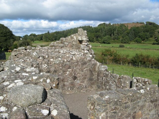
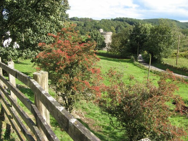
Orchardton Castle

Orchardton Castle overlooks the Solway Coast. Built in the 1880s, this is a Grade B listed property formerly known as Orchardton House. Built around a...

Rough Island, Scotland

"Rough Island" is also used as a translation of "Garbh Eilean", a common Scottish name for islandsRough Island is a 20-acre (8 ha) uninhabited tidal island...

Colvend and Southwick

Colvend and Southwick is a community council area and civil parish within the Stewartry area of Dumfries and Galloway, Scotland. It is also part of the...

Auchencairn

Auchencairn ([ɔxən'kʰɛ:(r)n]) is a village in the historical county of Kirkcudbrightshire in the Dumfries and Galloway region of Scotland. It is located...

Nearby Amenities

Located within 500m of 54.881479,-3.8361427
Parking
layby in wood
Lat/Long: 54.8839546/-3.8311135
Power: pole
Lat/Long: 54.8851573/-3.8322743
Power: pole
Lat/Long: 54.884517/-3.8319047
Power: pole
Lat/Long: 54.8838839/-3.8315605
Power: pole
Lat/Long: 54.8832338/-3.8312015
Power: pole
Lat/Long: 54.8826643/-3.8305684
Power: pole
Lat/Long: 54.8822084/-3.8300267
Power: pole
Lat/Long: 54.8817074/-3.8294488
The data included in this document is from www.openstreetmap.org. The data is made available under ODbL.

Have you been to Torrechan Plantation?

Leave your review of Torrechan Plantation below (or comments, questions and feedback).