Graigherron Wood

Wood, Forest in Kirkcudbrightshire

Scotland

Graigherron Wood

Ready to go A fleet of sailing dinghies ready to take to the water at the Solway Yacht Club slipway.
Ready to go Credit: Jonathan Wilkins

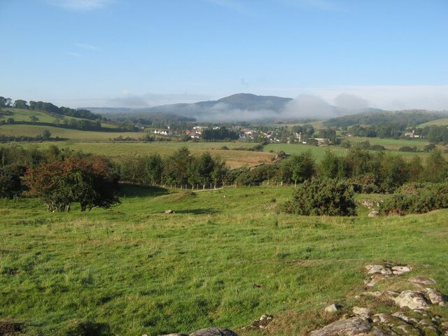
Graigherron Wood is a picturesque woodland located in Kirkcudbrightshire, Scotland. Covering an area of approximately 100 hectares, this ancient forest is known for its diverse range of flora and fauna, providing a tranquil haven for nature enthusiasts and wildlife alike.

The woodland is predominantly composed of native broadleaf trees such as oak, birch, and beech, which form a dense canopy overhead. This creates a shaded and cool environment, perfect for a leisurely walk or a peaceful retreat. The forest floor is adorned with a carpet of wildflowers, ferns, and mosses, adding to the enchanting atmosphere of the wood.

Graigherron Wood is home to a variety of wildlife species, including red squirrels, roe deer, and numerous bird species such as woodpeckers and owls. The presence of these animals makes it an ideal spot for birdwatching and wildlife photography.

The wood is crisscrossed by a network of well-maintained footpaths, allowing visitors to explore its beauty at their own pace. There are also several picnic areas and benches scattered throughout the woodland, providing opportunities for visitors to relax and soak in the serene surroundings. Interpretive signs along the trails offer information about the local flora and fauna, enhancing the educational aspect of the woodland experience.

Managed by a local conservation trust, Graigherron Wood is committed to preserving its natural beauty and ecological significance. The trust organizes regular events and educational programs to raise awareness about the importance of sustainable forestry and the protection of native habitats.

Overall, Graigherron Wood is a captivating and ecologically important forest, offering visitors a chance to connect with nature and experience the tranquility of Scotland's woodlands.

If you have any feedback on the listing, please let us know in the comments section below.

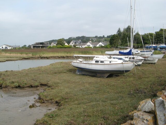
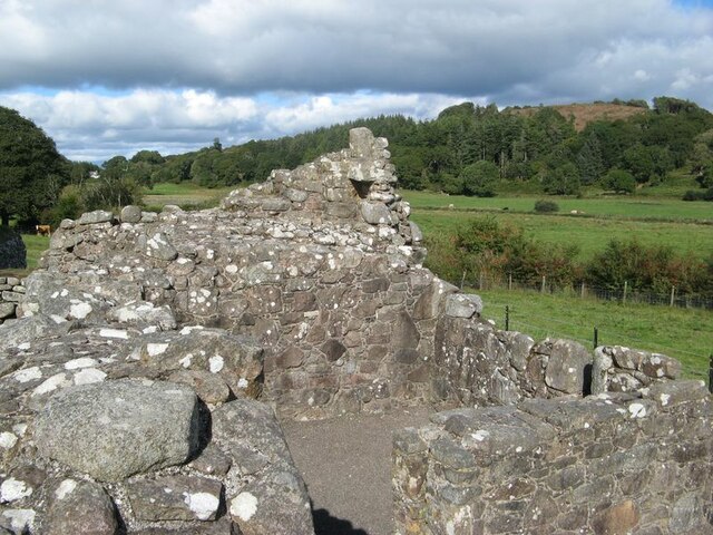
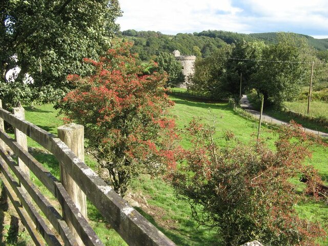
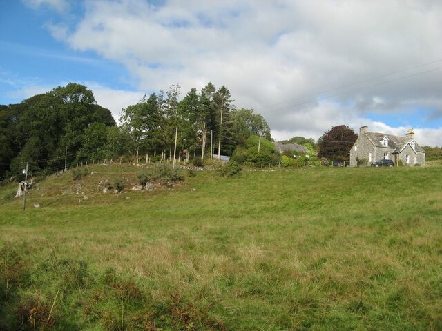
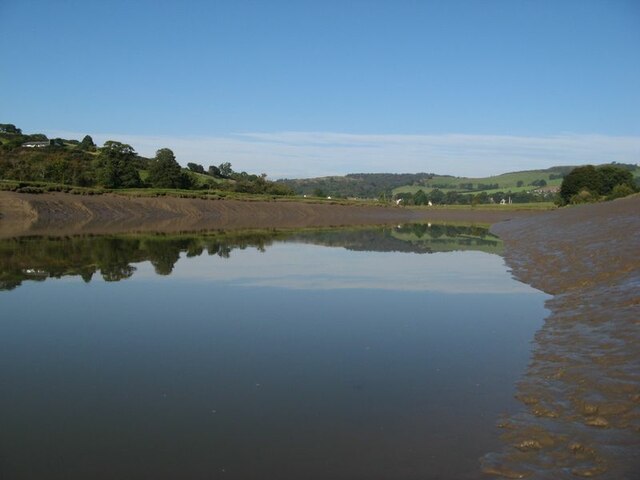
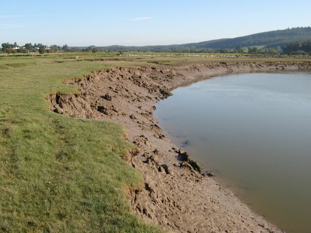
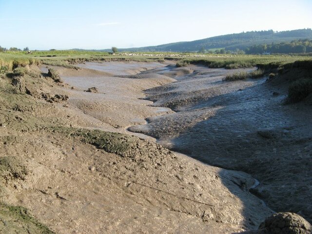
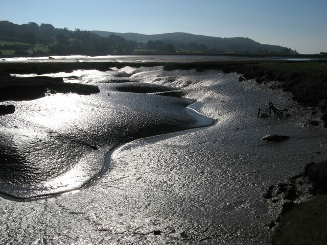
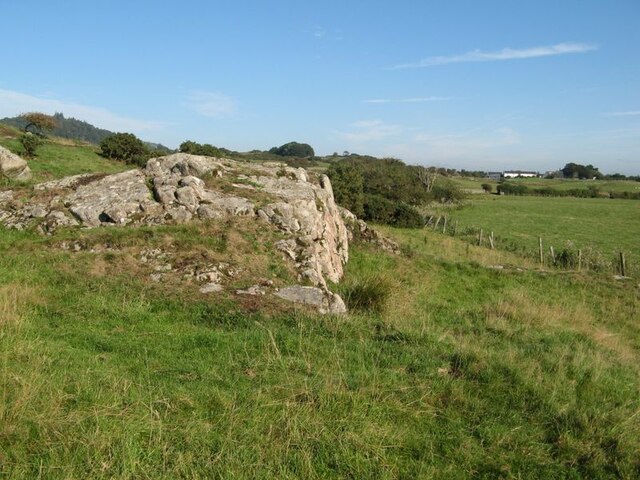
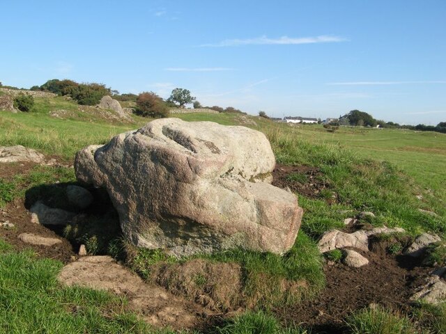
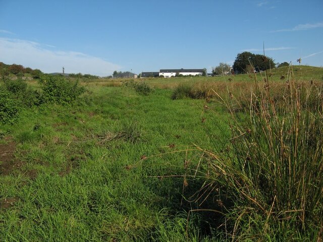
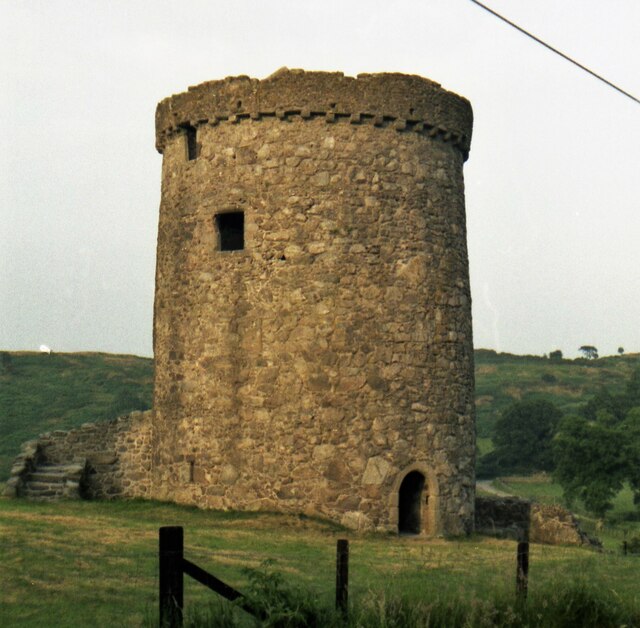
Graigherron Wood Images

Images are sourced within 2km of 54.880882/-3.8405584 or Grid Reference NX8255. Thanks to Geograph Open Source API. All images are credited.

Ready to go A fleet of sailing dinghies ready to take to the water at the Solway Yacht Club slipway.
Ready to go
A fleet of sailing dinghies ready to take to the water at the Solway Yacht Club slipway.
Boat storage Boats standing on saltmarsh above the normal tide level.
Boat storage
Boats standing on saltmarsh above the normal tide level.
Orchardton valley Looking over fields in the Orchardton valley from the elevated ruins of Orchardton Tower.
Orchardton valley
Looking over fields in the Orchardton valley from the elevated ruins of Orchardton Tower.
View to the tower From this location by the farm entrance the tower appears to be complete, though I imagine it has lost its original roof.
View to the tower
From this location by the farm entrance the tower appears to be complete, though I imagine it has lost its original roof.
View to The Holm The Orchardton valley is secluded with wide, grazed fields and wooded slopes. The Holm hides in its own patch of trees, but the outlying cottage is prominent on the slope.
View to The Holm
The Orchardton valley is secluded with wide, grazed fields and wooded slopes. The Holm hides in its own patch of trees, but the outlying cottage is prominent on the slope.
Urr Water valley Despite its prominence on the map, the river is lost in the landscape of meadows, woodland and hedges. The view across the valley takes in the vision of Screel Hill rising above early mists.
Urr Water valley
Despite its prominence on the map, the river is lost in the landscape of meadows, woodland and hedges. The view across the valley takes in the vision of Screel Hill rising above early mists.
Urr Water by Palnackie Brae A view upstream of the river at low tide with reflections of Palnackie Brae.
Urr Water by Palnackie Brae
A view upstream of the river at low tide with reflections of Palnackie Brae.
Boulder cache The fields atop the hill of Meikle Richorn have been improved by pulling out large boulders which are gathered in clumps like this. Granite is a rock easily quarried by glacial processes, so these are not far-travelled and reflect the underlying geology, though actual rock outcrop is sparse.
Boulder cache
The fields atop the hill of Meikle Richorn have been improved by pulling out large boulders which are gathered in clumps like this. Granite is a rock easily quarried by glacial processes, so these are not far-travelled and reflect the underlying geology, though actual rock outcrop is sparse.
Muddy river banks Mud banks at the side of Urr Water on a falling tide, though there is a good way to go yet.
Muddy river banks
Mud banks at the side of Urr Water on a falling tide, though there is a good way to go yet.
Morning reflections Still water on the Urr in the early morning.
Morning reflections
Still water on the Urr in the early morning.
Riverbank and salt marsh Diverse habitats in the estuary of Urr Water, which meanders in an impressive fashion.
Riverbank and salt marsh
Diverse habitats in the estuary of Urr Water, which meanders in an impressive fashion.
Creek meanders Fabulous, sinuous forms and billowing banks in the mud of a tidal creek.
Creek meanders
Fabulous, sinuous forms and billowing banks in the mud of a tidal creek.
Mud reflections Fabulous forms highlighted by reflection in this contra-jour image of a meandering creek at low tide.
Mud reflections
Fabulous forms highlighted by reflection in this contra-jour image of a meandering creek at low tide.
Granite outcrop Rock outcrop at the edge of low ground reaching out from Meiklebob Farm. This is a pretty spot, and very different from the neighbouring prairies of silage with vast cowsheds.
Granite outcrop
Rock outcrop at the edge of low ground reaching out from Meiklebob Farm. This is a pretty spot, and very different from the neighbouring prairies of silage with vast cowsheds.
Granite boulder A large glacial erratic boulder sits close to the granite outcrop of the higher ground. This appears to be a favourite spot for the farm animals to rub themselves when needed.
Granite boulder
A large glacial erratic boulder sits close to the granite outcrop of the higher ground. This appears to be a favourite spot for the farm animals to rub themselves when needed.
Wetland by a stream A small stream runs down from the farm, but it has disappeared into wet grassland at this time of low flow.
Wetland by a stream
A small stream runs down from the farm, but it has disappeared into wet grassland at this time of low flow.
Orchardton Tower in 1988 An evening view
Orchardton Tower in 1988
An evening view
Trawler, Barlochan Port The tight harbour at Polnackie on the Urr estuary. The two master behind is La Malouine, a sail training vessel.
Trawler, Barlochan Port
The tight harbour at Polnackie on the Urr estuary. The two master behind is La Malouine, a sail training vessel.
Show me another place!

Graigherron Wood is located at Grid Ref: NX8255 (Lat: 54.880882, Lng: -3.8405584)

Unitary Authority: Dumfries and Galloway

Police Authority: Dumfries and Galloway

What 3 Words

///little.comforted.outright. Near Dalbeattie, Dumfries & Galloway

Related Wikis

Palnackie

Palnackie is a village in the parish of Buittle in the historical county of Kirkcudbrightshire in Dumfries and Galloway, Scotland. It has a population...

Rockcliffe, Dumfries and Galloway

Rockcliffe is a small, coastal village in Kirkcudbrightshire, Dumfries and Galloway in Scotland, with a view of Rough Island, Hestan Island, the Solway...

Kippford

Kippford (/ˈkɪpfəd/; otherwise Scaur) is a small village along the Solway coast, in the historic county of Kirkcudbrightshire in Dumfries and Galloway...

Rough Firth

Rough Firth is an inlet on the northern coast of the Solway Firth in the Stewartry area of Dumfries and Galloway, Scotland. The firth lies between Almorness...

Orchardton Castle

Orchardton Castle overlooks the Solway Coast. Built in the 1880s, this is a Grade B listed property formerly known as Orchardton House. Built around a...

Rough Island, Scotland

"Rough Island" is also used as a translation of "Garbh Eilean", a common Scottish name for islandsRough Island is a 20-acre (8 ha) uninhabited tidal island...

Colvend and Southwick

Colvend and Southwick is a community council area and civil parish within the Stewartry area of Dumfries and Galloway, Scotland. It is also part of the...

Auchencairn

Auchencairn ([ɔxən'kʰɛ:(r)n]) is a village in the historical county of Kirkcudbrightshire in the Dumfries and Galloway region of Scotland. It is located...

Related Videos

Kippford -Rockcliffe-Sandyhills a coastal walk in Dumfries & Galloway

This was a very scenic walk along the coastal path and cliffs with beautiful views of the river Ure ,Solway firth, and nearby islands.

Kip hill wood and the Jubilee path

This was a short early morning walk starting from Kippford Coastal Holiday Park over Mark hill through Kip wood and onwards to ...

Trees Down and Lost In the Woods on Screel Hill in Scotland

A fabulous hike up Screel Hill close to the sea in Dumfries and Galloway Play Bingo to see how many times I say 'Screel Hill' in ...

The Scotland adventure begins – UK Van Tour

I break into Southern Scotland and enjoy some unseasonable nice weather as I travel out to the South West corner of the Country.

Nearby Amenities

Located within 500m of 54.880882,-3.8405584
Power: pole
Lat/Long: 54.8824284/-3.8478169
Power: pole
Lat/Long: 54.8825763/-3.8473644
Power: pole
Lat/Long: 54.8832717/-3.8466081
Power: pole
Lat/Long: 54.8839536/-3.8459729
Power: pole
Lat/Long: 54.8828879/-3.8463425
Power: pole
Lat/Long: 54.8832521/-3.8452357
The data included in this document is from www.openstreetmap.org. The data is made available under ODbL.

Have you been to Graigherron Wood?

Leave your review of Graigherron Wood below (or comments, questions and feedback).