Woodend Plantations
Wood, Forest in Kirkcudbrightshire
Scotland
Woodend Plantations
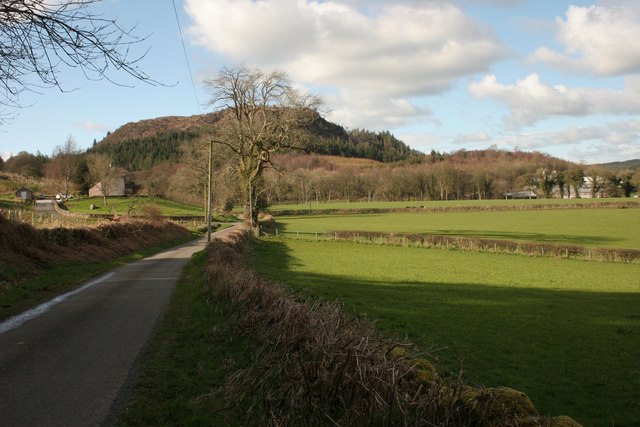
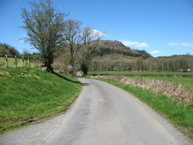
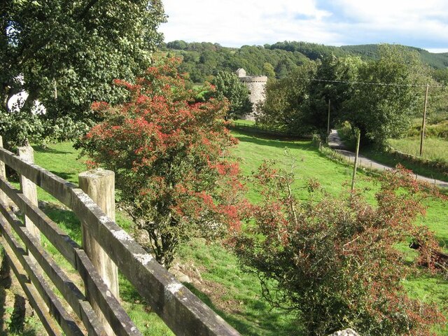
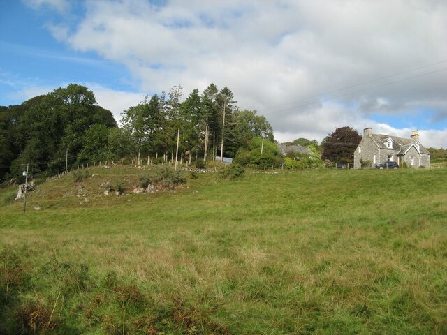
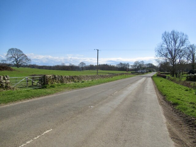
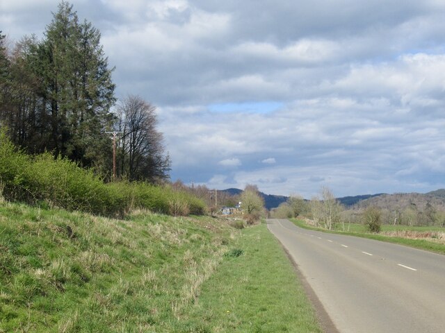
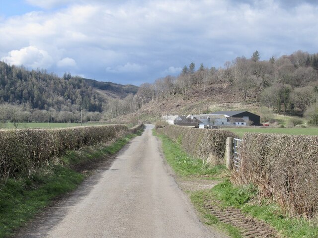
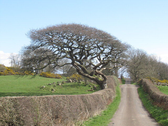
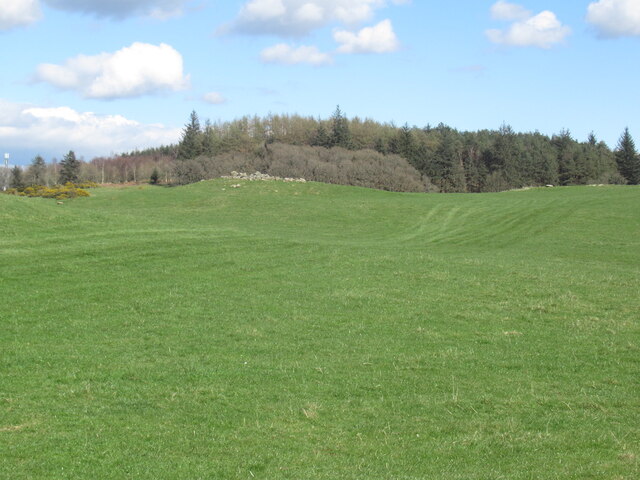
Woodend Plantations, located in Kirkcudbrightshire, is a sprawling woodland area known for its diverse collection of trees and natural beauty. Spanning over several acres, this forested landscape offers a tranquil escape for nature enthusiasts and outdoor adventurers alike.
The plantations are primarily composed of native tree species such as oak, beech, and pine, which provide a rich and varied habitat for numerous wildlife species. The dense foliage and towering trees create a calming environment, inviting visitors to explore the many trails that wind through the woods.
With its well-maintained paths, Woodend Plantations is an ideal location for hiking, jogging, or walking the dog. The network of trails caters to all levels of fitness and provides opportunities to appreciate the stunning surroundings. Along the way, visitors may encounter a variety of flora and fauna, including vibrant wildflowers, squirrels, and a diverse bird population.
Woodend Plantations also offer picnic spots and designated areas for camping, making it a popular destination for families and groups. The peaceful ambiance and picturesque surroundings provide an idyllic setting for outdoor activities and relaxation.
Managed by local authorities, the plantations receive regular maintenance to ensure visitor safety and the preservation of the natural environment. Signposts and information boards are strategically placed throughout the area to provide educational insights into the flora, fauna, and local history.
Overall, Woodend Plantations in Kirkcudbrightshire is a haven for nature lovers, offering a remarkable woodland experience with its diverse tree cover, scenic trails, and abundant wildlife.
If you have any feedback on the listing, please let us know in the comments section below.
Woodend Plantations Images
Images are sourced within 2km of 54.871354/-3.8429606 or Grid Reference NX8154. Thanks to Geograph Open Source API. All images are credited.


Woodend Plantations is located at Grid Ref: NX8154 (Lat: 54.871354, Lng: -3.8429606)
Unitary Authority: Dumfries and Galloway
Police Authority: Dumfries and Galloway
What 3 Words
///buzzing.paints.hiker. Near Dalbeattie, Dumfries & Galloway
Nearby Locations
Related Wikis

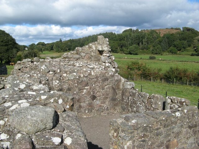
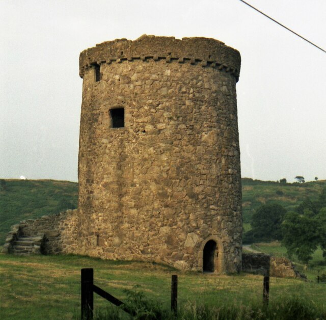
Orchardton Castle
Orchardton Castle overlooks the Solway Coast. Built in the 1880s, this is a Grade B listed property formerly known as Orchardton House. Built around a...

Rough Firth
Rough Firth is an inlet on the northern coast of the Solway Firth in the Stewartry area of Dumfries and Galloway, Scotland. The firth lies between Almorness...
Rockcliffe, Dumfries and Galloway
Rockcliffe is a small, coastal village in Kirkcudbrightshire, Dumfries and Galloway in Scotland, with a view of Rough Island, Hestan Island, the Solway...

Kippford
Kippford (/ˈkɪpfəd/; otherwise Scaur) is a small village along the Solway coast, in the historic county of Kirkcudbrightshire in Dumfries and Galloway...
Nearby Amenities
Located within 500m of 54.871354,-3.8429606Have you been to Woodend Plantations?
Leave your review of Woodend Plantations below (or comments, questions and feedback).