Hill Plantation
Wood, Forest in Dumfriesshire
Scotland
Hill Plantation
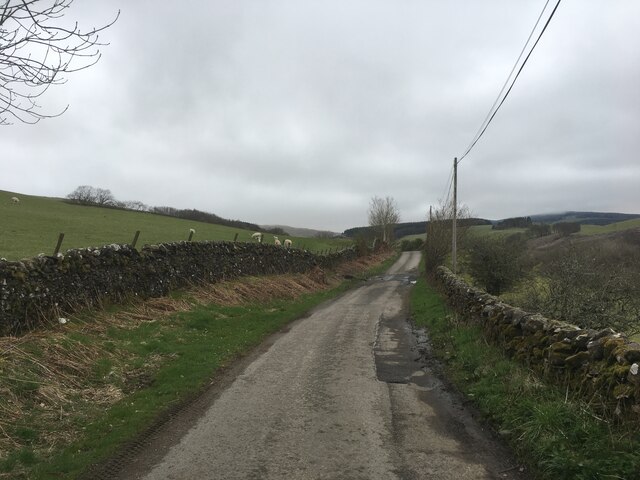
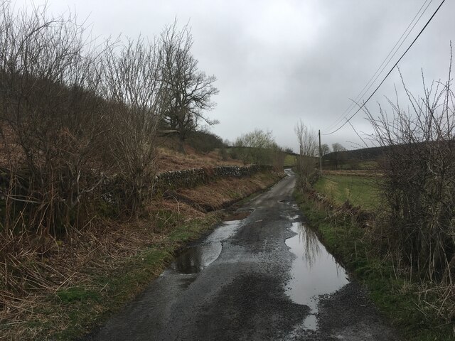
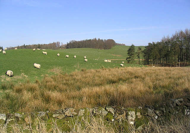
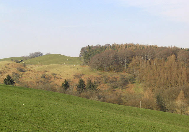
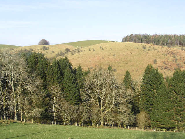
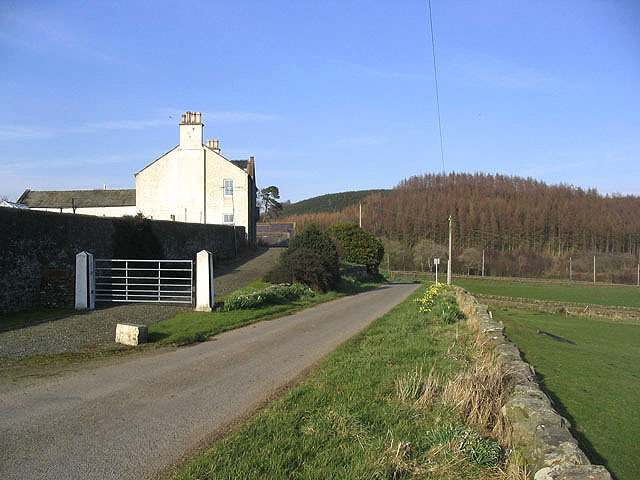
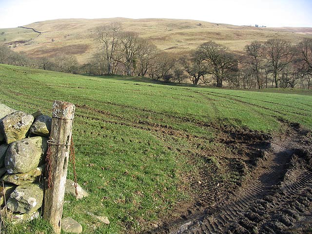
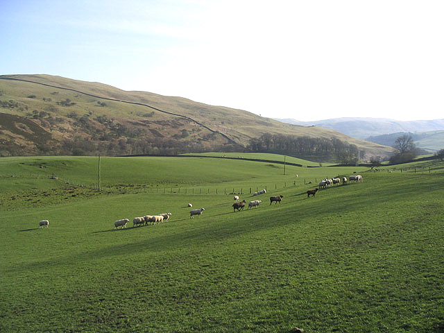
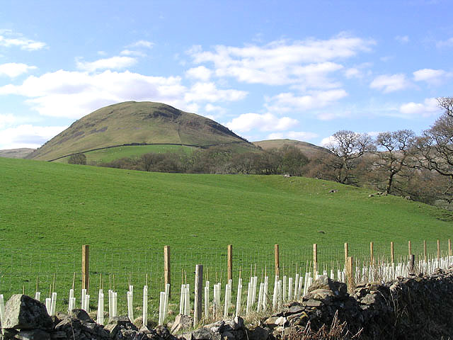
Hill Plantation is a stunning woodland area located in Dumfriesshire, Scotland. Covering a vast area of approximately 500 acres, it is situated just a few miles outside the town of Dumfries. The plantation is renowned for its picturesque landscapes, dense forests, and diverse range of flora and fauna.
The woodland at Hill Plantation is predominantly made up of a mixture of broadleaf and conifer trees, creating a rich and varied ecosystem. The native tree species include oak, beech, birch, and Scots pine, which provide a lush and vibrant environment throughout the year. The plantation is carefully managed to ensure the sustainability of the woodland and the preservation of its natural beauty.
Visitors to Hill Plantation can explore the numerous walking trails that wind their way through the woodland. These trails offer breathtaking views of the surrounding countryside, with opportunities to spot wildlife such as deer, squirrels, and a variety of bird species. The plantation is a haven for nature lovers, providing a peaceful and tranquil environment for outdoor enthusiasts.
Hill Plantation also offers various recreational activities, including camping, picnicking, and nature photography. The tranquil atmosphere and stunning scenery make it an ideal destination for those seeking to unwind and connect with nature.
In conclusion, Hill Plantation in Dumfriesshire is a captivating woodland area that showcases the beauty of Scotland's natural landscapes. With its diverse range of trees, abundant wildlife, and recreational opportunities, it is a must-visit destination for nature enthusiasts and those looking for a peaceful retreat in the heart of Dumfriesshire.
If you have any feedback on the listing, please let us know in the comments section below.
Hill Plantation Images
Images are sourced within 2km of 55.257671/-3.8619223 or Grid Reference NX8197. Thanks to Geograph Open Source API. All images are credited.


Hill Plantation is located at Grid Ref: NX8197 (Lat: 55.257671, Lng: -3.8619223)
Unitary Authority: Dumfries and Galloway
Police Authority: Dumfries and Galloway
What 3 Words
///gossiping.shunted.onto. Near Thornhill, Dumfries & Galloway
Nearby Locations
Related Wikis

Grennan Hill
Grennan Hill is the site of an Iron Age hill fort outside Penpont in Dumfries and Galloway, Scotland. == References == Schedule "Grennan Hill, NMRS Number...
Tynron Doon
Tynron Doon is a multivallate Iron Age hill fort outside the village of Tynron in Dumfries and Galloway, Scotland. It was occupied on and off from the...

Drumlanrig Castle
Drumlanrig Castle is situated on the Queensberry Estate in Dumfries and Galloway, Scotland. The category A listed castle is the Dumfriesshire home of the...

Drumlanrig
Drumlanrig (Scottish Gaelic: Druim Lannraig) is a settlement in Dumfries and Galloway, Scotland, which is best known for nearby Drumlanrig Castle. The...
Nearby Amenities
Located within 500m of 55.257671,-3.8619223Have you been to Hill Plantation?
Leave your review of Hill Plantation below (or comments, questions and feedback).