Bardennoch Wood
Wood, Forest in Dumfriesshire
Scotland
Bardennoch Wood
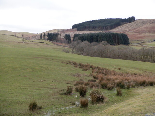
Bardennoch Wood is a picturesque woodland located in Dumfriesshire, Scotland. Covering an area of approximately 100 hectares, it is a haven for nature enthusiasts and hikers alike. The wood is situated near the village of Closeburn, only a short drive from Dumfries.
Bardennoch Wood is predominantly composed of native broadleaf trees, such as oak, birch, and beech, providing a diverse and vibrant habitat for a wide range of flora and fauna. The woodland floor is carpeted with bluebells during springtime, creating a stunning display of colors and scents. Additionally, the wood is home to a variety of bird species, including woodpeckers and tawny owls, making it a haven for birdwatchers.
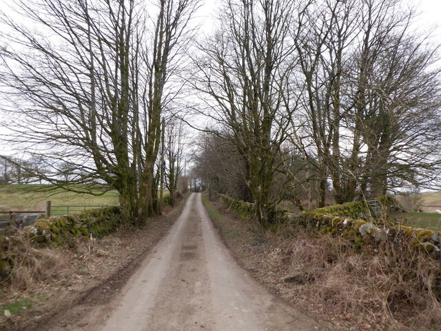
The wood offers several well-marked trails that allow visitors to explore its beauty at their own pace. Whether one chooses to embark on a leisurely stroll or a more challenging hike, there is something for everyone. The network of paths winds through the wood, offering glimpses of enchanting glens and babbling brooks along the way.
Bardennoch Wood is managed by the Forestry and Land Scotland, ensuring its preservation and protection for future generations. It serves as an important educational resource, with guided tours and educational programs available to visitors, especially school groups.
Overall, Bardennoch Wood is a precious gem in Dumfriesshire, providing a tranquil and natural escape for all who visit. Its breathtaking scenery, diverse wildlife, and well-maintained paths make it a must-visit destination for nature lovers and outdoor enthusiasts alike.
If you have any feedback on the listing, please let us know in the comments section below.
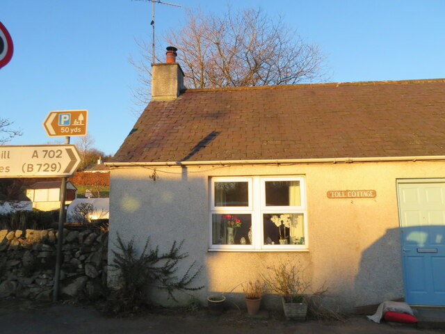
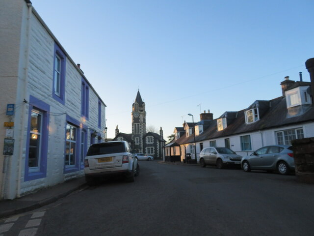
Bardennoch Wood Images
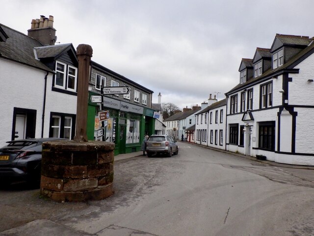
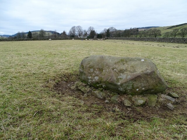
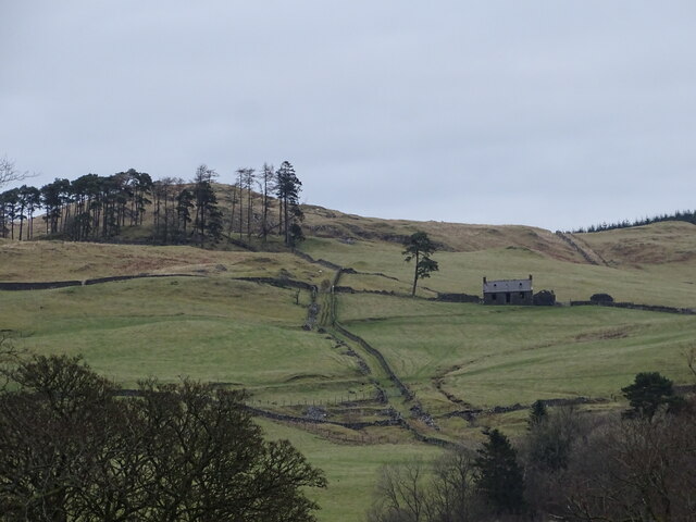
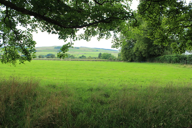
Images are sourced within 2km of 55.20247/-3.9221394 or Grid Reference NX7791. Thanks to Geograph Open Source API. All images are credited.


Bardennoch Wood is located at Grid Ref: NX7791 (Lat: 55.20247, Lng: -3.9221394)
Unitary Authority: Dumfries and Galloway
Police Authority: Dumfries and Galloway
What 3 Words
///supplied.digesting.tall. Near Thornhill, Dumfries & Galloway
Nearby Locations
Related Wikis

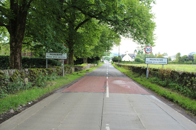
Moniaive
Moniaive ( 'monny-IVE'; Scottish Gaelic: Am Moine Naomh, "The Holy Moor") is a village in the Parish of Glencairn, in Dumfries and Galloway, southwest...

Moniaive railway station
Moniaive railway station is the closed station terminus of the Cairn Valley Light Railway (CVR) branch, from Dumfries. It served the rural area of Moniaive...

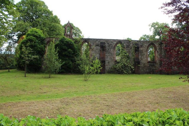
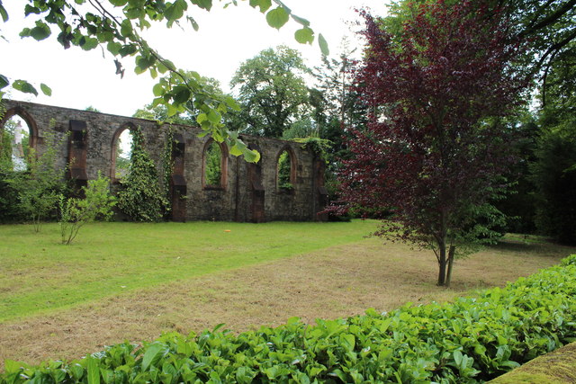
Crawfordton House
Crawfordton House is a category B listed 19th-century country house, situated close to Moniaive in Dumfriesshire, Scotland. It was operated as Crawfordton...

Cademuir International School
Cademuir International School was a specialist school at Moniaive in Dumfries and Galloway, Scotland. The school, founded by Robert Mulvey in 1990, was...

Tynron
Tynron is a village and civil parish in Dumfries and Galloway, south-west Scotland, lying in a hollow of the Shinnel Water, 2 miles (3.2 km) from Moniaive...

Glencairn, Dumfries and Galloway
Glencairn is an ecclesiastical and civil parish in Dumfries and Galloway, Scotland. == Location == According to John Bartholomew's 1887 Gazetteer of the...

Craigdarroch
"Craigdarroch, An Accessory to Murder" is an expansion set for the board game Kill Doctor Lucky Craigdarroch is a house near Moniaive, Dumfries and Galloway...
Kirkland railway station
Kirkland railway station (NX810897) was one of the minor stations on the Cairn Valley Light Railway branch, from Dumfries. It served the rural area around...
Nearby Amenities
Located within 500m of 55.20247,-3.9221394Have you been to Bardennoch Wood?
Leave your review of Bardennoch Wood below (or comments, questions and feedback).