Barbuie Loch
Lake, Pool, Pond, Freshwater Marsh in Dumfriesshire
Scotland
Barbuie Loch
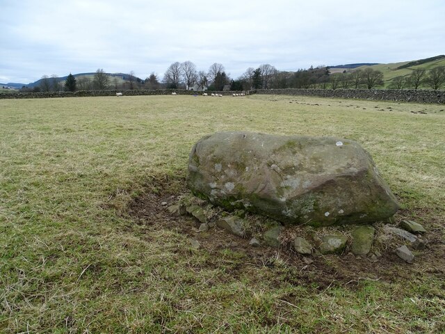
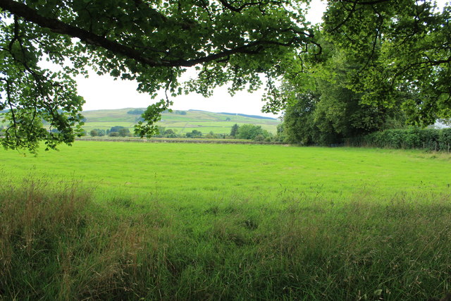
Barbuie Loch is a picturesque freshwater loch located in Dumfriesshire, Scotland. Spanning approximately 10 acres, it is nestled amidst the rolling hills and scenic landscapes that characterise the region. The loch is surrounded by lush vegetation, including reeds, grasses, and shrubs, creating a vibrant and diverse ecosystem.
As a freshwater body, Barbuie Loch provides a haven for various species of aquatic life. It is home to a range of fish, such as trout and perch, which thrive in the nutrient-rich waters. The loch also attracts a variety of waterfowl, including ducks, swans, and geese, which can often be seen gracefully gliding across its surface.
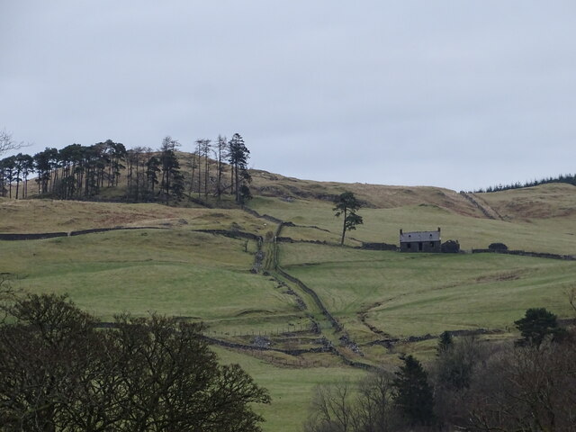
The surrounding area of Barbuie Loch offers an idyllic setting for outdoor enthusiasts. There are several walking trails that wind around the loch, providing visitors with the opportunity to explore the natural beauty of the area. Additionally, the loch is a popular spot for fishing, and anglers can be found casting their lines from the shore or from small boats.
Barbuie Loch is not just a haven for wildlife and outdoor activities but also a place of tranquillity and relaxation. Its peaceful atmosphere and stunning scenery make it a perfect destination for those seeking solace in nature. Whether it's a leisurely stroll along the shoreline or a quiet picnic amidst the surrounding greenery, Barbuie Loch offers a serene escape from the hustle and bustle of everyday life.
Overall, Barbuie Loch is a charming freshwater loch that boasts a diverse ecosystem and provides a tranquil retreat for nature lovers. Its beauty and serenity make it a must-visit destination for anyone exploring Dumfriesshire.
If you have any feedback on the listing, please let us know in the comments section below.
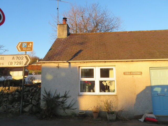
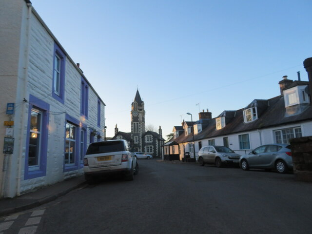
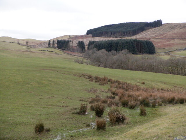
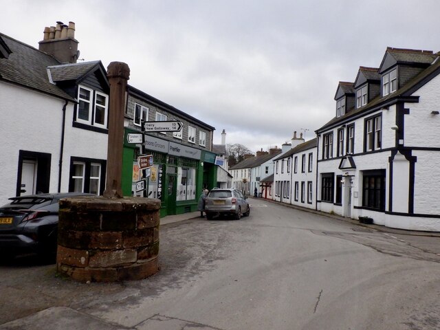
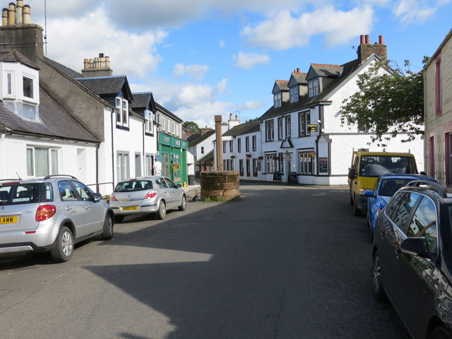
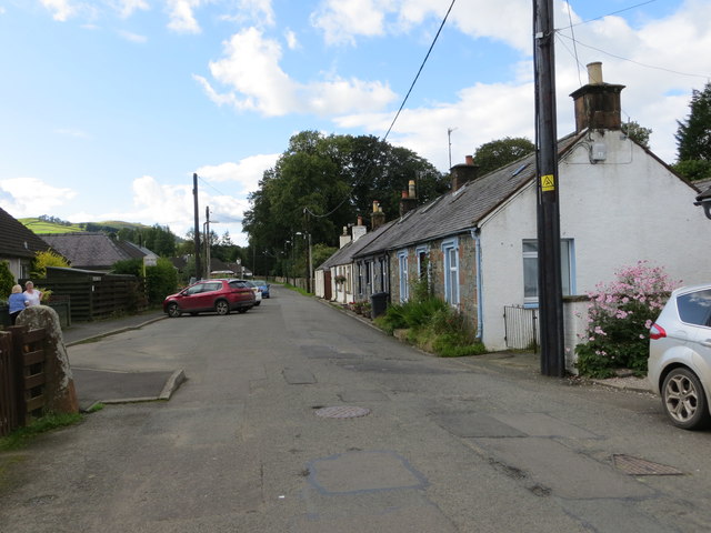
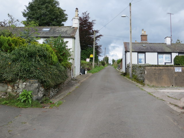
Barbuie Loch Images
Images are sourced within 2km of 55.203888/-3.9325011 or Grid Reference NX7791. Thanks to Geograph Open Source API. All images are credited.


Barbuie Loch is located at Grid Ref: NX7791 (Lat: 55.203888, Lng: -3.9325011)
Unitary Authority: Dumfries and Galloway
Police Authority: Dumfries and Galloway
What 3 Words
///shadowed.sandbags.bothered. Near Thornhill, Dumfries & Galloway
Nearby Locations
Related Wikis

Moniaive
Moniaive ( 'monny-IVE'; Scottish Gaelic: Am Moine Naomh, "The Holy Moor") is a village in the Parish of Glencairn, in Dumfries and Galloway, southwest...

Moniaive railway station
Moniaive railway station is the closed station terminus of the Cairn Valley Light Railway (CVR) branch, from Dumfries. It served the rural area of Moniaive...

Crawfordton House
Crawfordton House is a category B listed 19th-century country house, situated close to Moniaive in Dumfriesshire, Scotland. It was operated as Crawfordton...

Cademuir International School
Cademuir International School was a specialist school at Moniaive in Dumfries and Galloway, Scotland. The school, founded by Robert Mulvey in 1990, was...

Craigdarroch
"Craigdarroch, An Accessory to Murder" is an expansion set for the board game Kill Doctor Lucky Craigdarroch is a house near Moniaive, Dumfries and Galloway...

Tynron
Tynron is a village and civil parish in Dumfries and Galloway, south-west Scotland, lying in a hollow of the Shinnel Water, 2 miles (3.2 km) from Moniaive...

Glencairn, Dumfries and Galloway
Glencairn is an ecclesiastical and civil parish in Dumfries and Galloway, Scotland. == Location == According to John Bartholomew's 1887 Gazetteer of the...
Kirkland railway station
Kirkland railway station (NX810897) was one of the minor stations on the Cairn Valley Light Railway branch, from Dumfries. It served the rural area around...
Nearby Amenities
Located within 500m of 55.203888,-3.9325011Have you been to Barbuie Loch?
Leave your review of Barbuie Loch below (or comments, questions and feedback).