Crow Wood
Wood, Forest in Dunbartonshire
Scotland
Crow Wood
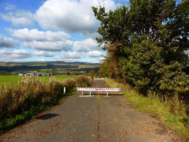
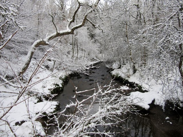
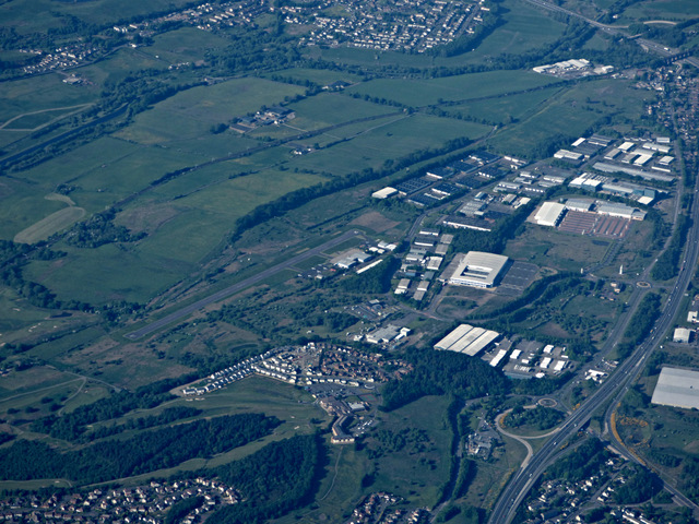
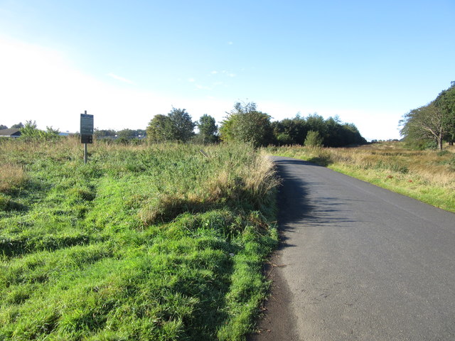
Crow Wood is a sprawling forest located in Dunbartonshire, Scotland. Covering an area of approximately 500 acres, it is known for its picturesque beauty and diverse range of flora and fauna. The wood is situated on the eastern slopes of the Kilpatrick Hills, offering stunning views of the surrounding landscape.
The forest is predominantly composed of deciduous trees, including oak, beech, and birch, which create a rich and vibrant canopy during the summer months. These trees provide shelter and a habitat for a variety of wildlife, including deer, foxes, and numerous bird species.
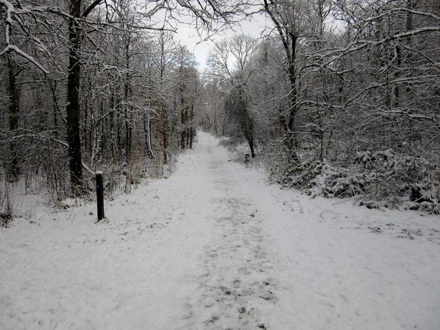
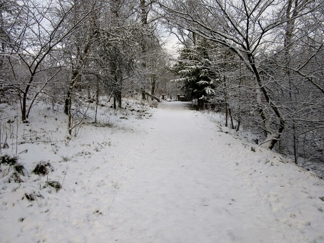
Traversing the wood, visitors can explore a network of well-maintained trails that wind through the forest, offering an opportunity for leisurely walks and hikes. The trails vary in difficulty, catering to both casual strollers and more experienced hikers. Along the way, there are several designated picnic spots and benches, providing a perfect opportunity to rest and take in the serene surroundings.
Crow Wood is also renowned for its role in outdoor recreational activities. It features a well-equipped adventure playground for children, allowing them to engage in physical activities while surrounded by nature. Additionally, the forest offers a challenging mountain biking trail, attracting enthusiasts from far and wide.
With its natural beauty, diverse wildlife, and recreational opportunities, Crow Wood has become a popular destination for nature lovers and outdoor enthusiasts alike. The forest offers a peaceful escape from the hustle and bustle of everyday life, providing visitors with a chance to connect with nature and enjoy the tranquility it offers.
If you have any feedback on the listing, please let us know in the comments section below.
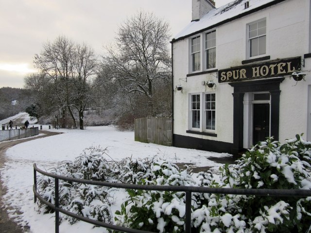
Crow Wood Images
Images are sourced within 2km of 55.962905/-3.9637771 or Grid Reference NS7776. Thanks to Geograph Open Source API. All images are credited.


Crow Wood is located at Grid Ref: NS7776 (Lat: 55.962905, Lng: -3.9637771)
Unitary Authority: North Lanarkshire
Police Authority: Lanarkshire
What 3 Words
///solar.hope.survey. Near Cumbernauld, North Lanarkshire
Nearby Locations
Related Wikis

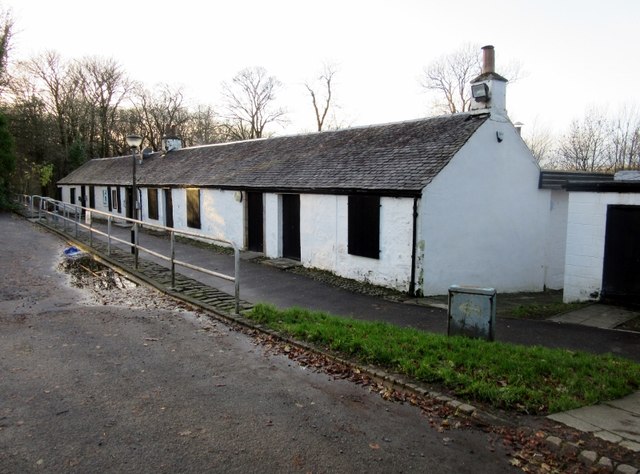
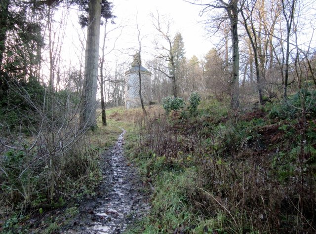
Cumbernauld Castle
Cumbernauld Castle was the predecessor of Cumbernauld House in the Park in Cumbernauld. The Motte of the earliest castle survives, and stones of the second...

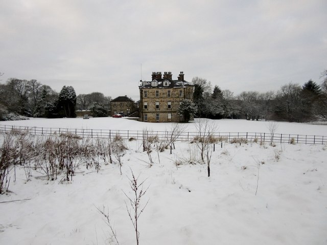
Cumbernauld House
Cumbernauld House is an 18th-century Vivido Scottish country house located in Cumbernauld, Scotland. It is located near in the Cumbernauld Glen, close...
Abronhill High School
Abronhill High School was a non-denominational, comprehensive, secondary school in Abronhill, a suburb of the Scottish new town of Cumbernauld. The school...

Abronhill
Abronhill () is an area in the north-east of Cumbernauld, North Lanarkshire, Scotland. It extends one to two miles (two to three kilometres) from Cumbernauld...
Nearby Amenities
Located within 500m of 55.962905,-3.9637771Have you been to Crow Wood?
Leave your review of Crow Wood below (or comments, questions and feedback).