Muirhouse Plantation
Wood, Forest in Lanarkshire
Scotland
Muirhouse Plantation
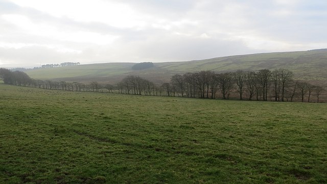
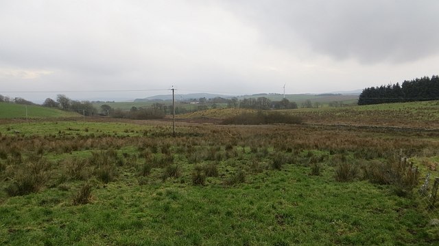
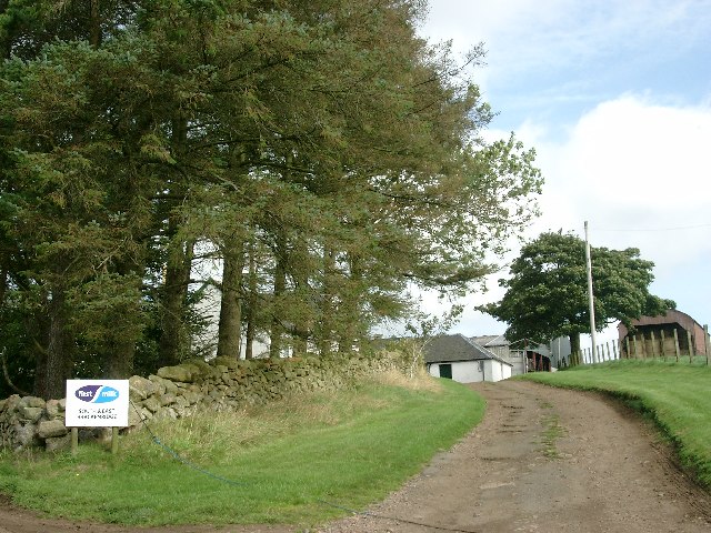
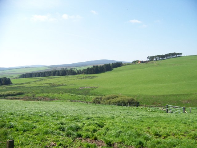
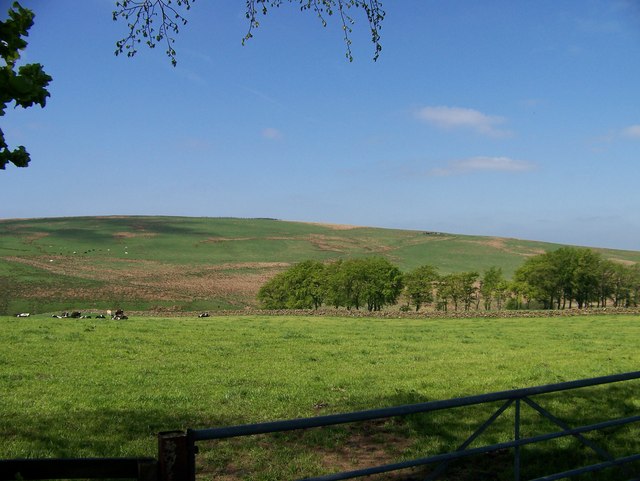
Muirhouse Plantation is a picturesque woodland located in Lanarkshire, Scotland. Covering an extensive area of lush greenery, this enchanting forest is a haven for nature enthusiasts and those seeking a tranquil retreat. The plantation is nestled within the rolling hills and valleys of Lanarkshire, offering visitors breathtaking views and a sense of serenity.
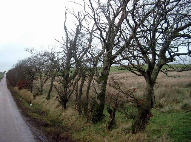
The woodland is predominantly composed of native trees such as oak, birch, and pine. These tall, majestic trees provide a dense canopy, creating a cool and shaded atmosphere throughout the plantation. Meandering pathways wind through the forest, inviting visitors to explore and connect with nature.
Muirhouse Plantation is home to a diverse range of flora and fauna. Wildflowers, including bluebells and primroses, add vibrant splashes of color to the forest floor, while ferns and mosses create a carpet-like covering. The woodland is also inhabited by a variety of bird species, such as woodpeckers and owls, making it a popular spot for birdwatching.
The plantation offers several amenities for visitors to enjoy. Picnic areas and benches are scattered throughout the forest, providing perfect spots for families and friends to relax and enjoy a meal amidst the beauty of nature. Additionally, well-maintained walking trails cater to both leisurely strolls and more challenging hikes, offering something for all fitness levels.
Muirhouse Plantation is a true gem of Lanarkshire, offering a peaceful escape from the hustle and bustle of everyday life. Whether it's a leisurely walk in nature, a family picnic, or birdwatching, this enchanting woodland has something to offer everyone who seeks solace in the great outdoors.
If you have any feedback on the listing, please let us know in the comments section below.
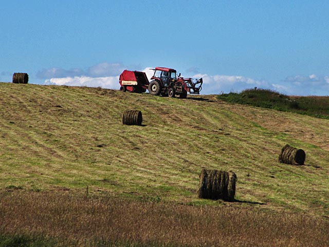
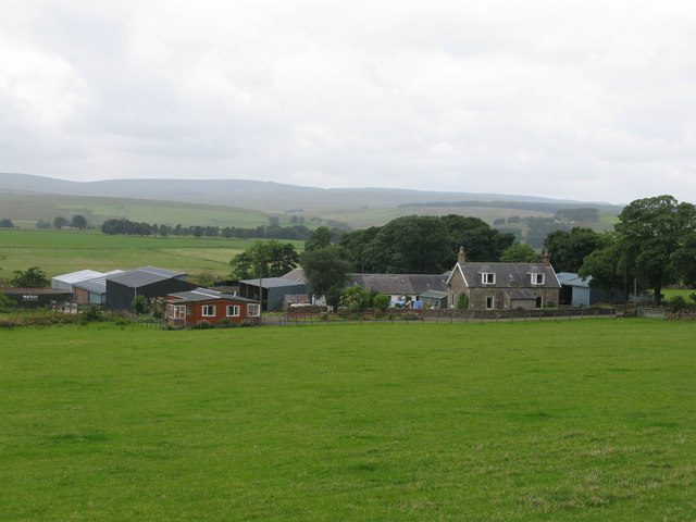
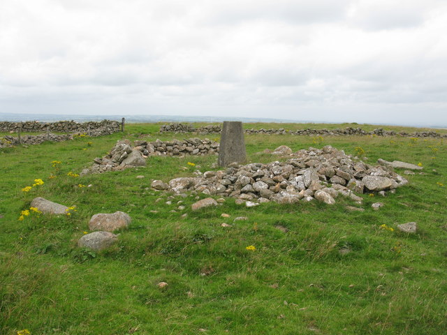
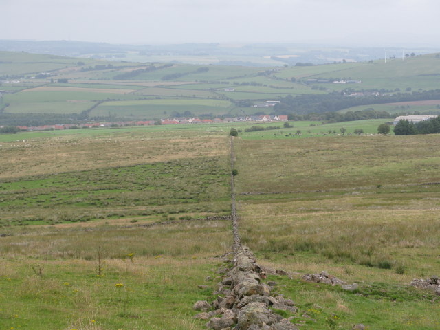
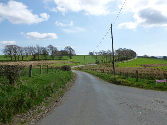
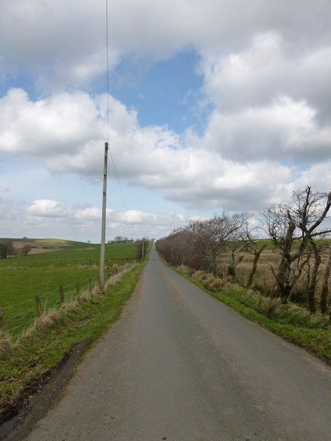
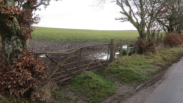
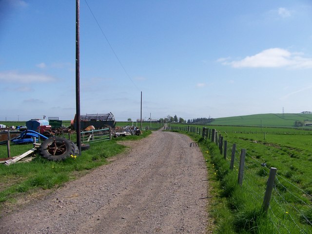
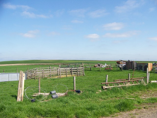
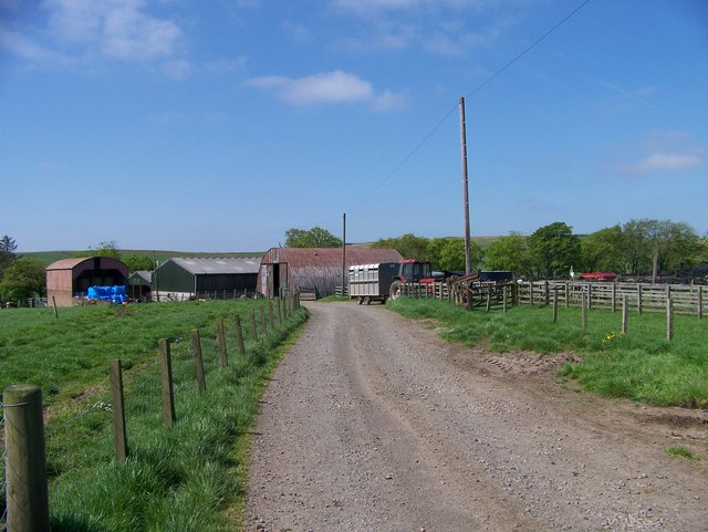
Muirhouse Plantation Images
Images are sourced within 2km of 55.640643/-3.9474413 or Grid Reference NS7740. Thanks to Geograph Open Source API. All images are credited.
Muirhouse Plantation is located at Grid Ref: NS7740 (Lat: 55.640643, Lng: -3.9474413)
Unitary Authority: South Lanarkshire
Police Authority: Lanarkshire
What 3 Words
///receiving.chain.interacts. Near Blackwood, South Lanarkshire
Nearby Locations
Related Wikis

Boghead
Boghead is a small village in South Lanarkshire, west central Scotland. It is about 23 miles (37 km) southeast of Glasgow and sits nearby to the River...
Kirkmuirhill
Kirkmuirhill is a village in South Lanarkshire, Scotland. It borders Blackwood, near Lanark and is sited near Junction 9 of the M74 motorway. Its postal...
Blackwood, South Lanarkshire
Blackwood is a village which borders Kirkmuirhill, near Lanark in the central belt of Scotland. It has a few small shops, a Roman Catholic church and a...

Lesmahagow High School
Lesmahagow High School is a non-denominational secondary school in Lesmahagow, South Lanarkshire, Scotland. The new school building opened in 2007. The...
Nearby Amenities
Located within 500m of 55.640643,-3.9474413Have you been to Muirhouse Plantation?
Leave your review of Muirhouse Plantation below (or comments, questions and feedback).