Canglour Wood

Wood, Forest in Stirlingshire

Scotland

Canglour Wood
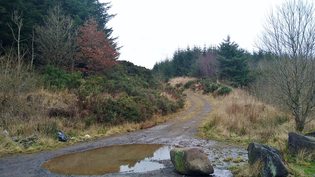
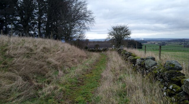
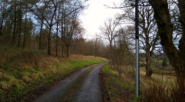
The start of the track to Old Sauchie Sadly marred by dumping and signs of tyre burning.  While the OS marks this as a track all the way to Old Sauchie, it deteriorates into a very poor and boggy path after 100 metres or so.
The start of the track to Old Sauchie Credit: Gordon Brown

The requested URL returned error: 429 Too Many Requests

If you have any feedback on the listing, please let us know in the comments section below.

Canglour Wood Images

Images are sourced within 2km of 56.062749/-3.971502 or Grid Reference NS7787. Thanks to Geograph Open Source API. All images are credited.
The start of the track to Old Sauchie Sadly marred by dumping and signs of tyre burning.  While the OS marks this as a track all the way to Old Sauchie, it deteriorates into a very poor and boggy path after 100 metres or so.
The start of the track to Old Sauchie
Sadly marred by dumping and signs of tyre burning. While the OS marks this as a track all the way to Old Sauchie, it deteriorates into a very poor and boggy path after 100 metres or so.
The track to Old Sauchie This OS marked track varies between a decent track and a boggy faint path as it moves from the single track road in the west and Old Sauchie.
The track to Old Sauchie
This OS marked track varies between a decent track and a boggy faint path as it moves from the single track road in the west and Old Sauchie.
Track through the fields from Old Sauchie
The track from Old Sauchie
Track junction near Old Sauchie
The approach to Old Sauchie
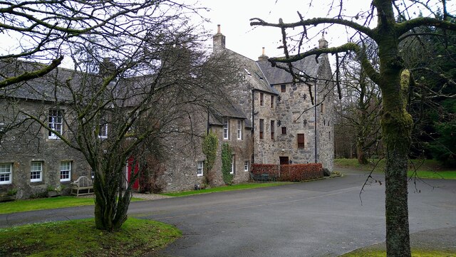
The Great Hall at Old Sauchie "Great Hall" is how the OS describes this fine building.
The Great Hall at Old Sauchie
"Great Hall" is how the OS describes this fine building.
The path from Old Sauchie to Lewis Hill At time of visit the gates on the track at NS7780 8849 were locked by the landowner, complicating access to this route.
The path from Old Sauchie to Lewis Hill
At time of visit the gates on the track at NS7780 8849 were locked by the landowner, complicating access to this route.
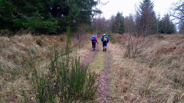
Walkers on the track to the Lewis Hill trigpoint
Approaching Weatherlaw Wood The single-track road eventually will bring us back to Stirling.
Approaching Weatherlaw Wood
The single-track road eventually will bring us back to Stirling.
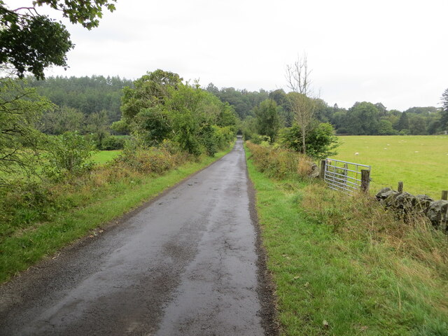
Minor road between Kingsburgh and Craigend Looking south-westward.
Minor road between Kingsburgh and Craigend
Looking south-westward.
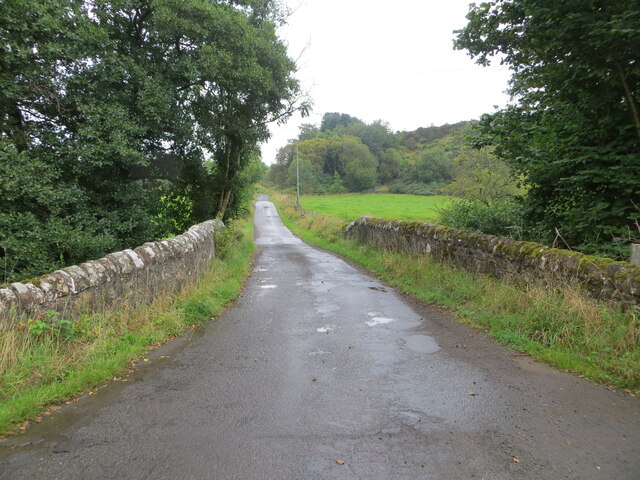
Minor road and bridge crossing a small burn near to Milnholm Looking south-eastward.
Minor road and bridge crossing a small burn near to Milnholm
Looking south-eastward.
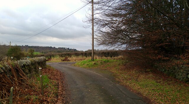
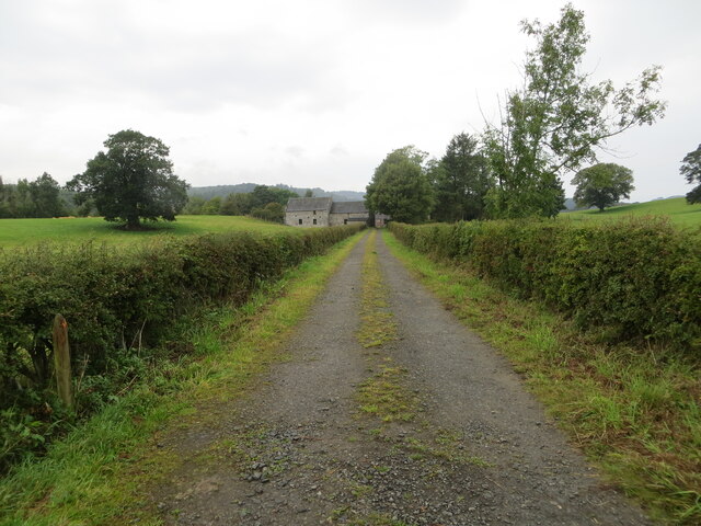
Hedge-lined track giving access to Old Sauchie Mill and Cottages Looking north-westward.
Hedge-lined track giving access to Old Sauchie Mill and Cottages
Looking north-westward.
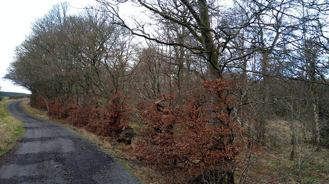
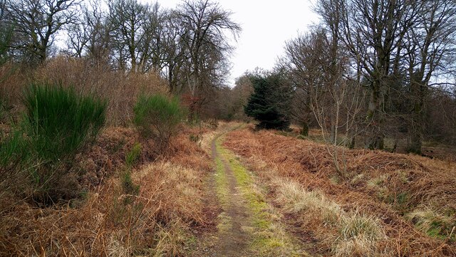
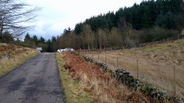
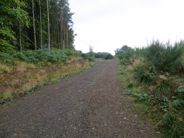
Forest track at Canglour Looking westward.
Forest track at Canglour
Looking westward.
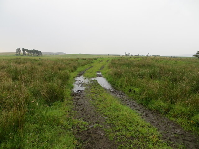
Track crossing rough ground near to Burnside Looking south-eastward.
Track crossing rough ground near to Burnside
Looking south-eastward.
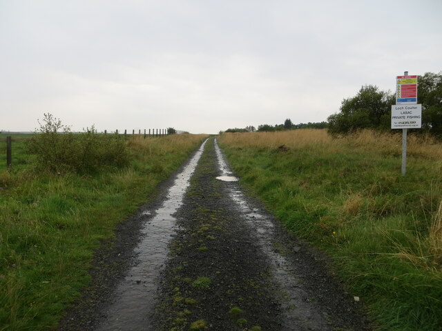
Track giving access to Loch Coulter Reservoir Looking south-eastward.
Track giving access to Loch Coulter Reservoir
Looking south-eastward.
Ordnance Survey Cut Mark with Rivet This mark can be found on top of the parapet wall of a road bridge near Auchenbowie.
The recorded details give a height of 79.35 metres above sea level.
For more detail see : <span class="nowrap"><a title="https://www.bench-marks.org.uk/bm179739" rel="nofollow ugc noopener" href="https://www.bench-marks.org.uk/bm179739">Link</a><img style="margin-left:2px;" alt="External link" title="External link - shift click to open in new window" src="https://s1.geograph.org.uk/img/external.png" width="10" height="10"/></span>
Ordnance Survey Cut Mark with Rivet
This mark can be found on top of the parapet wall of a road bridge near Auchenbowie. The recorded details give a height of 79.35 metres above sea level. For more detail see : LinkExternal link
Felled area This woodland <a href="https://www.geograph.org.uk/photo/85687">NS7587 : Path to Lewis Hill</a> has now been felled and the land replanted.
Felled area
This woodland NS7587 : Path to Lewis Hill has now been felled and the land replanted.
Show me another place!

Canglour Wood is located at Grid Ref: NS7787 (Lat: 56.062749, Lng: -3.971502)

Unitary Authority: Stirling

Police Authority: Forth Valley

What 3 Words

///pounds.springing.overhaul. Near Bannockburn, Stirling

Related Wikis

Howietoun Fishery

Howietoun Fishery was created by Sir James Ramsay Gibson Maitland; it is a Victorian fish farm that specialised in the study of trout and salmon farming...

Auchenbowie House

Auchenbowie House is a laird's house (mansion) in Stirling, Scotland. The location is about 3.5 miles (5.6 km) south of Stirling, on minor road west of...

Battle of Sauchieburn

The Battle of Sauchieburn was fought on 11 June 1488, at the side of Sauchie Burn, a stream about two miles (3 km) south of Stirling, Scotland. The battle...

Stirling services

Stirling services is a motorway service station near Stirling, Scotland. The service station is located where the M9 motorway and M80 motorway join. It...

Nearby Amenities

Located within 500m of 56.062749,-3.971502
Power: pole
Lat/Long: 56.0647078/-3.9715132
Power: pole
Lat/Long: 56.0647371/-3.9706645
Power: pole
Lat/Long: 56.0647663/-3.9698997
Power: pole
Lat/Long: 56.0647979/-3.9691496
Power: pole
Lat/Long: 56.0647967/-3.9683889
Power: pole
Lat/Long: 56.0648143/-3.9676032
Power: pole
Lat/Long: 56.0648634/-3.9663815
Power: pole
Lat/Long: 56.0649219/-3.9649315
The data included in this document is from www.openstreetmap.org. The data is made available under ODbL.

Have you been to Canglour Wood?

Leave your review of Canglour Wood below (or comments, questions and feedback).