Canglour Glen
Valley in Stirlingshire
Scotland
Canglour Glen
The requested URL returned error: 429 Too Many Requests
If you have any feedback on the listing, please let us know in the comments section below.
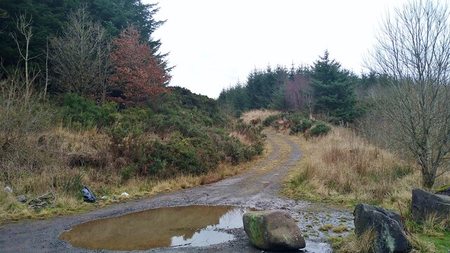
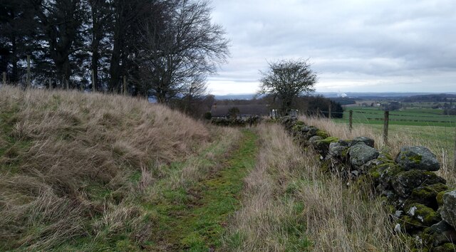
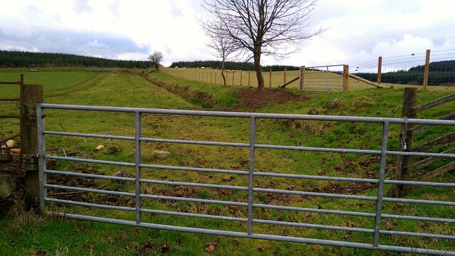
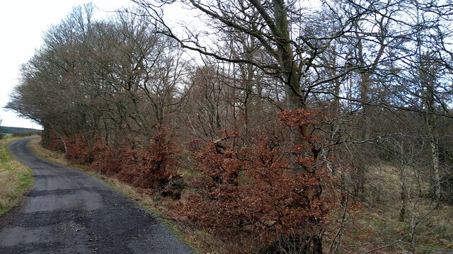
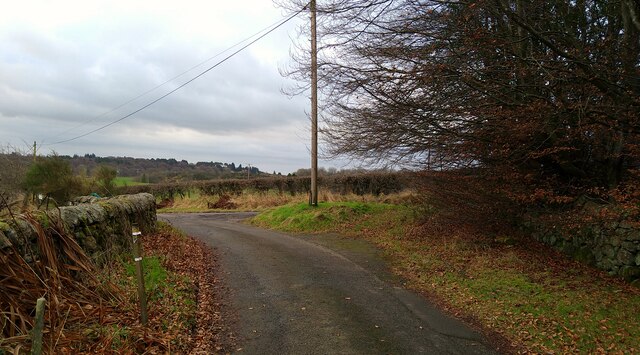
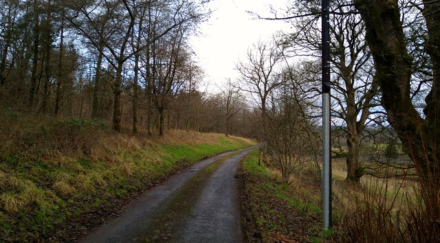
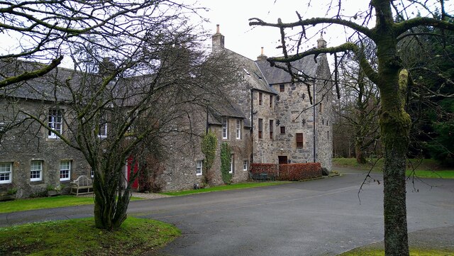
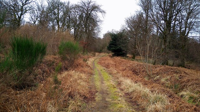
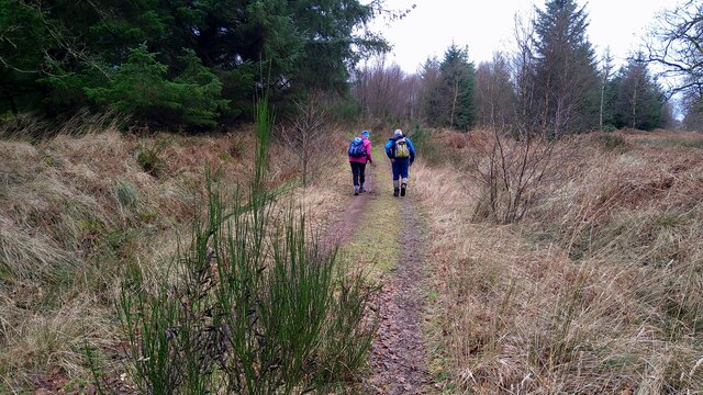
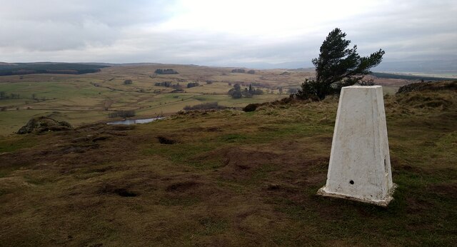
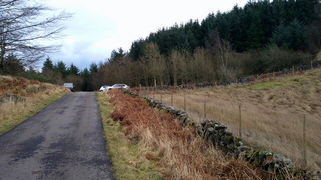
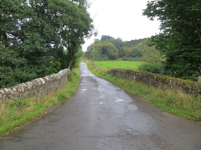
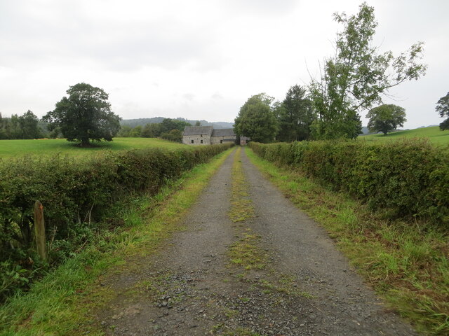
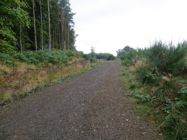
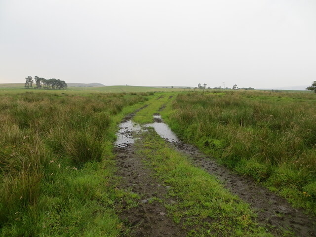
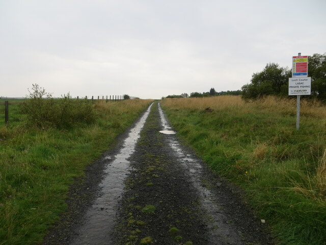
Canglour Glen Images
Images are sourced within 2km of 56.063411/-3.9739613 or Grid Reference NS7787. Thanks to Geograph Open Source API. All images are credited.
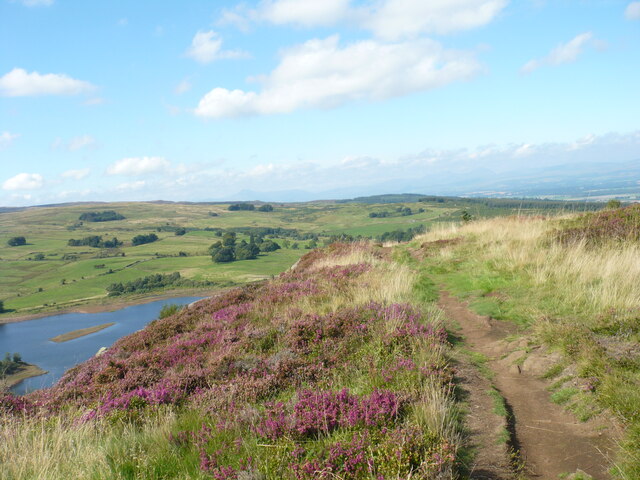

Canglour Glen is located at Grid Ref: NS7787 (Lat: 56.063411, Lng: -3.9739613)
Unitary Authority: Stirling
Police Authority: Forth Valley
What 3 Words
///movie.hairspray.intruding. Near Bannockburn, Stirling
Nearby Locations
Related Wikis

Howietoun Fishery
Howietoun Fishery was created by Sir James Ramsay Gibson Maitland; it is a Victorian fish farm that specialised in the study of trout and salmon farming...

Auchenbowie House
Auchenbowie House is a laird's house (mansion) in Stirling, Scotland. The location is about 3.5 miles (5.6 km) south of Stirling, on minor road west of...
Stirling services
Stirling services is a motorway service station near Stirling, Scotland. The service station is located where the M9 motorway and M80 motorway join. It...
Battle of Sauchieburn
The Battle of Sauchieburn was fought on 11 June 1488, at the side of Sauchie Burn, a stream about two miles (3 km) south of Stirling, Scotland. The battle...
Nearby Amenities
Located within 500m of 56.063411,-3.9739613Have you been to Canglour Glen?
Leave your review of Canglour Glen below (or comments, questions and feedback).