Broomiebrae Wood

Wood, Forest in Stirlingshire

Scotland

Broomiebrae Wood

M9, northbound The M9 runs 32 from Edinburgh to Dunblane.
M9, northbound Credit: N Chadwick

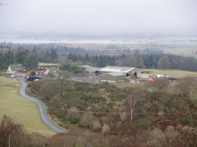
Broomiebrae Wood is a picturesque woodland area located in Stirlingshire, Scotland. Covering an area of approximately 100 acres, this woodland is a popular destination for nature enthusiasts and those seeking a peaceful retreat from the hustle and bustle of city life.

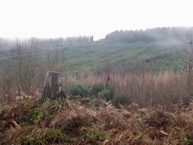
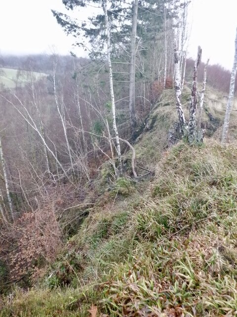
Situated just a few miles outside of the town of Stirling, Broomiebrae Wood boasts a diverse range of flora and fauna, making it a haven for wildlife. The wood is predominantly made up of native Scottish trees such as oak, birch, and rowan, which provide a stunning display of colors throughout the changing seasons. The forest floor is covered in a rich carpet of mosses, ferns, and wildflowers, further enhancing the natural beauty of the area.

Several well-marked trails wind their way through Broomiebrae Wood, allowing visitors to explore the wood at their own pace. These trails offer stunning views of the surrounding countryside and provide ample opportunities for birdwatching and wildlife spotting. The wood is home to a variety of bird species, including woodpeckers, owls, and various songbirds.

In addition to its natural beauty, Broomiebrae Wood also holds historical significance. The wood is believed to have been part of the ancient royal hunting grounds and is dotted with remnants of old stone walls and crumbling structures. Exploring these historical features adds another layer of interest to a visit to Broomiebrae Wood.

Overall, Broomiebrae Wood is a tranquil and enchanting woodland that offers a wonderful escape into nature for visitors of all ages.

If you have any feedback on the listing, please let us know in the comments section below.

Broomiebrae Wood Images

Images are sourced within 2km of 56.105353/-3.9850492 or Grid Reference NS7692. Thanks to Geograph Open Source API. All images are credited.

M9, northbound The M9 runs 32 from Edinburgh to Dunblane.
M9, northbound
The M9 runs 32 from Edinburgh to Dunblane.
M9, northbound The M9 runs 32 from Edinburgh to Dunblane.
M9, northbound
The M9 runs 32 from Edinburgh to Dunblane.
M9, northbound The M9 runs 32 from Edinburgh to Dunblane.
M9, northbound
The M9 runs 32 from Edinburgh to Dunblane.
M9, northbound The M9 runs 32 from Edinburgh to Dunblane.
M9, northbound
The M9 runs 32 from Edinburgh to Dunblane.
M9, 1 mile from J10 The M9 runs 32 from Edinburgh to Dunblane.
M9, 1 mile from J10
The M9 runs 32 from Edinburgh to Dunblane.
M9, tourist information The M9 runs 32 from Edinburgh to Dunblane.
M9, tourist information
The M9 runs 32 from Edinburgh to Dunblane.
View from the bridge over the M9 At the foot of the hill in the distance is Cambusbarron, a disused mill building at centre and South Kersebonny Steading on the right.
View from the bridge over the M9
At the foot of the hill in the distance is Cambusbarron, a disused mill building at centre and South Kersebonny Steading on the right.
Cambusbarron Quarry (disused) A disused whinstone quarry on this small hill near Stirling, which is one of a number of 'crag and tail' formations in the area, including the rock on which Stirling Castle sits.
Cambusbarron Quarry (disused)
A disused whinstone quarry on this small hill near Stirling, which is one of a number of 'crag and tail' formations in the area, including the rock on which Stirling Castle sits.
Bannock Burn At a small car park for woodland walks.
Bannock Burn
At a small car park for woodland walks.
Bridge at Wester Craigend Crossing the Bannock Burn
Bridge at Wester Craigend
Crossing the Bannock Burn
Road, Wester Craigend
Path, Sauchie Craig A lovely path running along the scarp. There is a nearby alternative which runs through the woods on the dip slope.
Path, Sauchie Craig
A lovely path running along the scarp. There is a nearby alternative which runs through the woods on the dip slope.
Overgrown track With moss covered dykes. The track is in use as a path further uphill.
Overgrown track
With moss covered dykes. The track is in use as a path further uphill.
Path, Sauchie Craig A lovely path running along the scarp. There is a nearby alternative which runs through the woods on the dip slope.
Path, Sauchie Craig
A lovely path running along the scarp. There is a nearby alternative which runs through the woods on the dip slope.
Murrayshall Farm The carse beyond is fogbound.
Murrayshall Farm
The carse beyond is fogbound.
Woodland behind Sauchie Craig
Path, Sauchie Craig A lovely path running along the scarp. There is a nearby alternative which runs through the woods on the dip slope.
Path, Sauchie Craig
A lovely path running along the scarp. There is a nearby alternative which runs through the woods on the dip slope.
Sauchie Craig A whinstone scarp. I get the impression that this is what Salisbury Crags looked like when wooded and before they were quarried. The path along the edge is very enjoyable.
Sauchie Craig
A whinstone scarp. I get the impression that this is what Salisbury Crags looked like when wooded and before they were quarried. The path along the edge is very enjoyable.
Show me another place!

Broomiebrae Wood is located at Grid Ref: NS7692 (Lat: 56.105353, Lng: -3.9850492)

Unitary Authority: Stirling

Police Authority: Forth Valley

What 3 Words

///slime.pint.apple. Near Stirling

Related Wikis

Gillies Hill

Gillies Hill is located west of Stirling and the M9, south of Cambusbarron, and north of the Bannock Burn in Central Scotland. Gillies Hill covers a 140...

Cambusbarron

Cambusbarron is a village in Stirling, Scotland. In the 2001 census, it had a population of 3,224. There is evidence of settlement at the site since the...

Touch House

Touch House is a country house located 4 kilometres (2.5 mi) west of Stirling in central Scotland. It stands at the foot of the Touch Hills, on the south...

Birkhill House, Stirling

Birkhill House is a historic house situated between the city of Stirling and the village of Cambusbarron in central Scotland. == History == There is evidence...

Torbrex Village

Torbrex is a small village in Scotland. Geographically Torbrex is enclosed within Stirling by Cambusbarron to the west, St. Ninians to the south, Livlilands...

Stirling High School

Stirling High School is a state high school for 11- to 18-year-olds run by Stirling Council in Stirling, Scotland. It is one of seven high schools in...

St. Ninians

St. Ninians is a long-standing settlement which is now a district of the city of Stirling in central Scotland. It is located approximately one mile south...

Stirling Smith Art Gallery and Museum

Stirling Smith Art Gallery and Museum, formerly The Smith Institute, is an art and local history museum in Stirling, Scotland. The museum was founded in...

Nearby Amenities

Located within 500m of 56.105353,-3.9850492
Information: guidepost
Tourism: information
Lat/Long: 56.1074202/-3.9779591
Bench
Backrest: yes
Lat/Long: 56.102572/-3.9828201
Bench
Backrest: yes
Lat/Long: 56.1074565/-3.9780429
Bench
Backrest: yes
Lat/Long: 56.1026472/-3.9825096
Information: map
Tourism: information
Lat/Long: 56.1074912/-3.9780524
The data included in this document is from www.openstreetmap.org. The data is made available under ODbL.

Have you been to Broomiebrae Wood?

Leave your review of Broomiebrae Wood below (or comments, questions and feedback).