Airieland Moor
Wood, Forest in Kirkcudbrightshire
Scotland
Airieland Moor
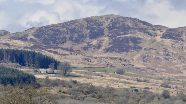
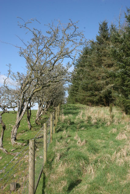
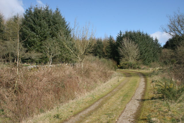
Airieland Moor is a picturesque woodland located in Kirkcudbrightshire, Scotland. Covering an area of approximately 500 acres, it is a well-preserved example of a natural forest ecosystem. The moor is characterized by a diverse range of trees, including oak, beech, and pine, which create a lush and vibrant landscape.
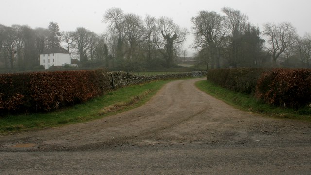
The woodland offers a serene and peaceful environment, making it a popular destination for nature lovers and outdoor enthusiasts. Numerous walking trails wind their way through the forest, providing visitors with the opportunity to explore its beauty and tranquility. The trails are well-maintained, allowing for easy access and navigation.
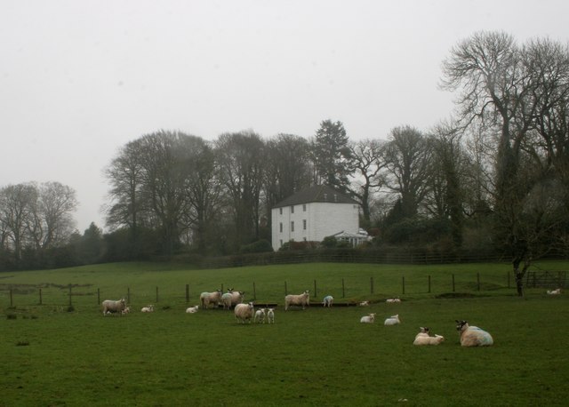
Wildlife thrives in Airieland Moor, with a variety of species calling it home. Birdwatchers will be delighted by the presence of various avian species, including woodpeckers, owls, and thrushes. Small mammals, such as squirrels and rabbits, can be spotted darting through the undergrowth, adding to the natural charm of the woodland.
The moor is also known for its stunning flora, with carpets of wildflowers adorning the forest floor during the spring and summer months. Bluebells, primroses, and wild garlic are just a few examples of the colorful array of plants that can be found here.
Overall, Airieland Moor is a beautiful and captivating woodland that offers visitors a chance to immerse themselves in nature. With its diverse ecosystem and well-maintained trails, it is a true gem in the heart of Kirkcudbrightshire.
If you have any feedback on the listing, please let us know in the comments section below.
Airieland Moor Images
Images are sourced within 2km of 54.883951/-3.9265999 or Grid Reference NX7656. Thanks to Geograph Open Source API. All images are credited.
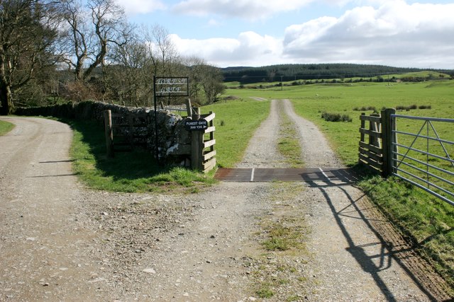
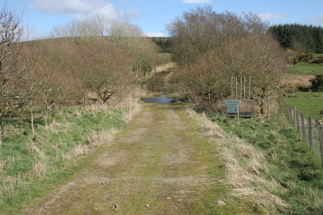
![Airieland Forest sign and beaters Sign at the entrance to Airieland Forest. See [<a title="https://www.geograph.org.uk/photo/4901150" href="https://www.geograph.org.uk/photo/4901150">Link</a>] for a wider view.](https://s3.geograph.org.uk/geophotos/04/90/11/4901155_f46a7fba.jpg)
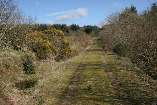
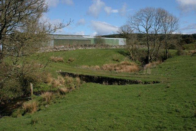
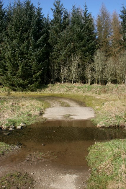
![Airieland Burn Looking towards the ford [<a title="https://www.geograph.org.uk/photo/4901182" href="https://www.geograph.org.uk/photo/4901182">Link</a>] on the track.](https://s1.geograph.org.uk/geophotos/04/90/11/4901173_6515a3ee.jpg)
Airieland Moor is located at Grid Ref: NX7656 (Lat: 54.883951, Lng: -3.9265999)
Unitary Authority: Dumfries and Galloway
Police Authority: Dumfries and Galloway
What 3 Words
///supper.brimmed.debate. Near Castle Douglas, Dumfries & Galloway
Nearby Locations
Related Wikis

Airieland
Airieland is a farm in the historical county of Kirkcudbrightshire, in the Scottish council area of Dumfries and Galloway. It is found 3 miles (5 km) south...

Gelston Castle
Gelston Castle, located near Castle Douglas in Kirkcudbrightshire in Dumfries and Galloway, Scotland, was built by Sir William Douglas of Castle Douglas...

Threave Gardens
Threave Garden and Estate is a series of gardens owned and managed by the National Trust for Scotland, located near Castle Douglas in the historical county...

Bridge of Dee, Galloway
Bridge of Dee, Galloway is a settlement on the River Dee, Galloway. It lies on the A75 just west of Castle Douglas, and north-east of Kirkcudbright. The...

Carlingwark Loch
Carlingwark Loch is a small freshwater loch in the historical county of Kirkcudbrightshire, Dumfries and Galloway, Scotland lying just south of Castle...

Bridge of Dee railway station
Bridge of Dee railway station served the settlement of Bridge of Dee, Dumfries and Galloway, Scotland from 1864 to 1949 on the Kirkcudbright Railway....

Orchardton Castle
Orchardton Castle overlooks the Solway Coast. Built in the 1880s, this is a Grade B listed property formerly known as Orchardton House. Built around a...

Palnackie
Palnackie is a village in the parish of Buittle in the historical county of Kirkcudbrightshire in Dumfries and Galloway, Scotland. It has a population...
Nearby Amenities
Located within 500m of 54.883951,-3.9265999Have you been to Airieland Moor?
Leave your review of Airieland Moor below (or comments, questions and feedback).