Carmyllie
Settlement in Angus
Scotland
Carmyllie

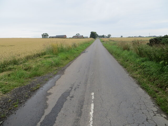
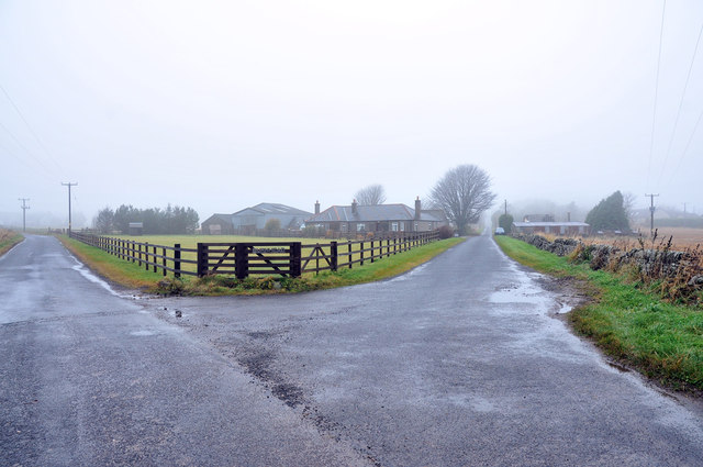
Carmyllie is a small village located in the Angus region of Scotland. Situated about 5 miles northwest of Arbroath, it is nestled in the picturesque countryside, offering stunning views of the surrounding hills and fields. With a population of around 500 residents, Carmyllie exudes a peaceful and close-knit community ambiance.
The village is known for its rich history, dating back to the medieval times when it was a major agricultural and farming hub. Today, remnants of its past can still be seen in the form of traditional stone-built houses and old farm buildings scattered throughout the area.
Carmyllie offers a range of amenities to its residents, including a primary school, a community hall, and a church, which serves as a focal point for religious and social gatherings. The village also has a local pub, providing a cozy spot for locals and visitors to relax and enjoy a drink or meal.
Nature enthusiasts will find plenty to explore in Carmyllie, with numerous walking trails and nature reserves nearby. The close proximity to the Angus Glens and the stunning coastline of the North Sea makes it an ideal base for outdoor activities such as hiking, cycling, and birdwatching.
Despite its rural setting, Carmyllie benefits from good transport links, with regular bus services connecting it to nearby towns and cities. Arbroath, with its wider range of amenities, is only a short drive away, offering residents easy access to shops, supermarkets, and other essential services.
Overall, Carmyllie is a charming village that offers a tranquil and idyllic lifestyle amidst the natural beauty of the Angus countryside.
If you have any feedback on the listing, please let us know in the comments section below.
Carmyllie Images
Images are sourced within 2km of 56.577436/-2.734208 or Grid Reference NO5443. Thanks to Geograph Open Source API. All images are credited.


Carmyllie is located at Grid Ref: NO5443 (Lat: 56.577436, Lng: -2.734208)
Unitary Authority: Angus
Police Authority: Tayside
What 3 Words
///sprinter.baseless.reserved. Near Letham, Angus
Nearby Locations
Related Wikis

Carmyllie
Carmyllie (Gaelic: Càrn Mhoillidh) is a rural parish in Angus, Scotland. It is situated on high ground between Arbroath, on the coast, and the inland county...
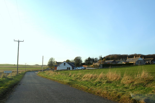
Greystone, Angus
Greystone is a hamlet in Angus, Scotland. It lies between the towns of Carnoustie and Forfar in the parish of Carmyllie. == References ==

Redford, Angus
Redford is a hamlet in the parish of Carmyllie in Angus, Scotland. It is situated on high ground between Arbroath, on the coast, and the inland county...

Carmyllie railway station
Carmyllie railway station served the town of Carmyllie, Angus, Scotland from 1900 to 1965 on the Carmyllie Railway. == History == The station opened on...
Nearby Amenities
Located within 500m of 56.577436,-2.734208Have you been to Carmyllie?
Leave your review of Carmyllie below (or comments, questions and feedback).