Craigs Wood

Wood, Forest in Stirlingshire

Scotland

Craigs Wood

The start of the track to Old Sauchie Sadly marred by dumping and signs of tyre burning.  While the OS marks this as a track all the way to Old Sauchie, it deteriorates into a very poor and boggy path after 100 metres or so.
The start of the track to Old Sauchie Credit: Gordon Brown

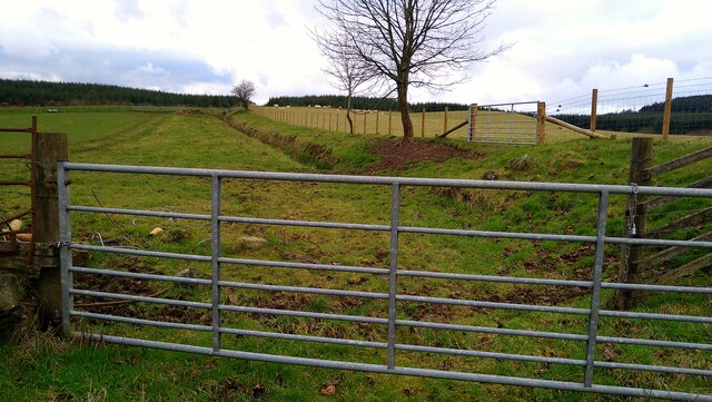
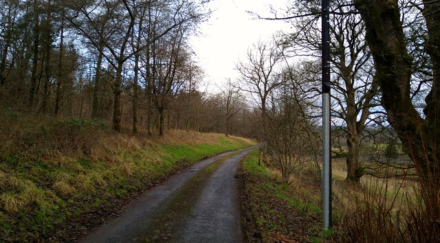
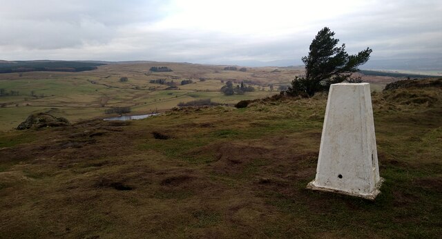
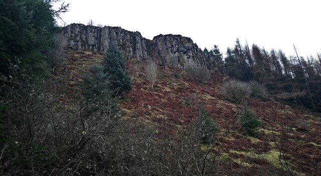
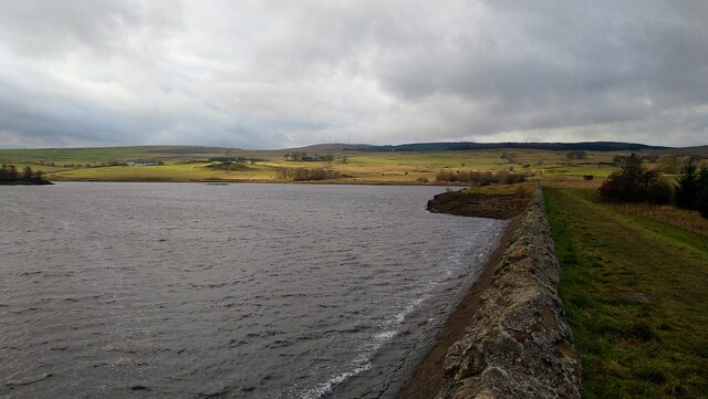
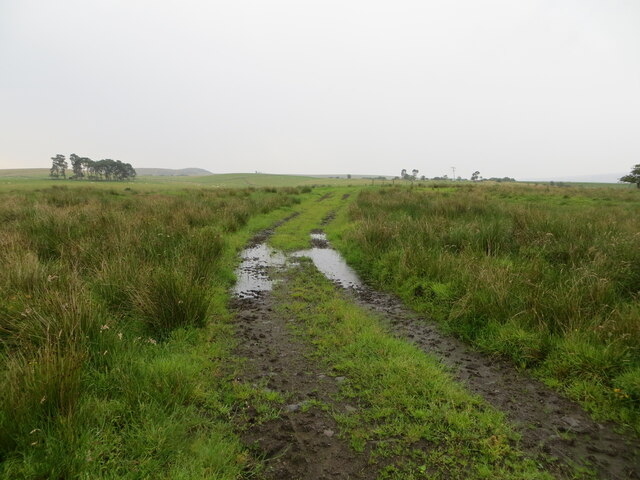
Craigs Wood is a picturesque forest located in Stirlingshire, Scotland. Covering an area of approximately 200 acres, it is a popular destination for nature enthusiasts and outdoor enthusiasts alike. The wood is situated on the southern slopes of the Gargunnock Hills, offering breathtaking views of the surrounding landscapes.

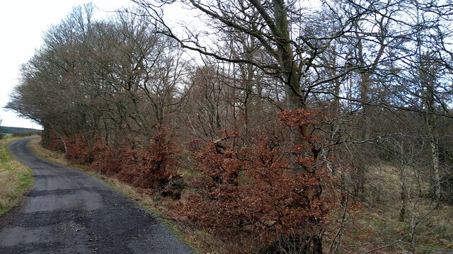
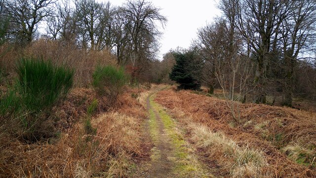
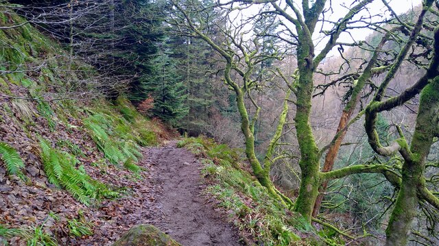
The wood is predominantly composed of native Scottish trees, including oak, birch, and rowan. These trees provide a rich habitat for a variety of wildlife, making it an ideal spot for birdwatching and wildlife spotting. Visitors may encounter species such as red deer, roe deer, and a plethora of bird species, including woodpeckers, owls, and songbirds.

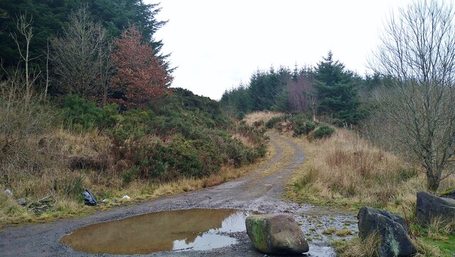
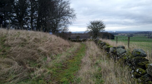
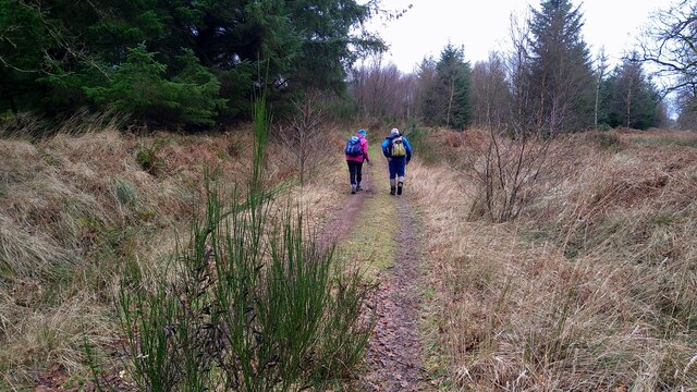
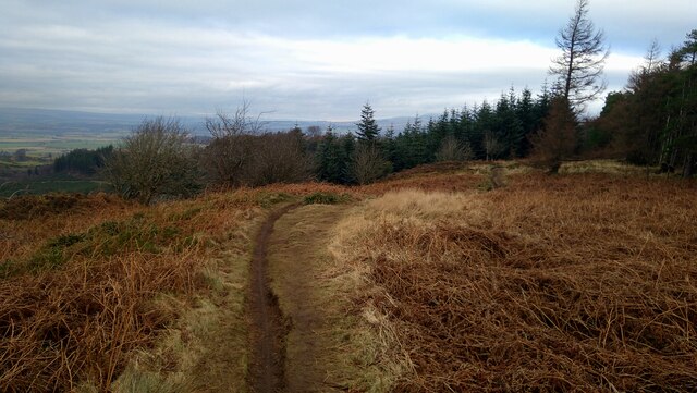
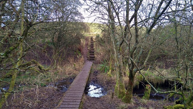
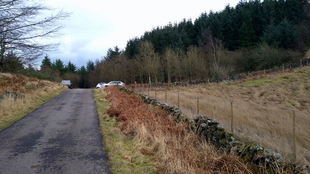
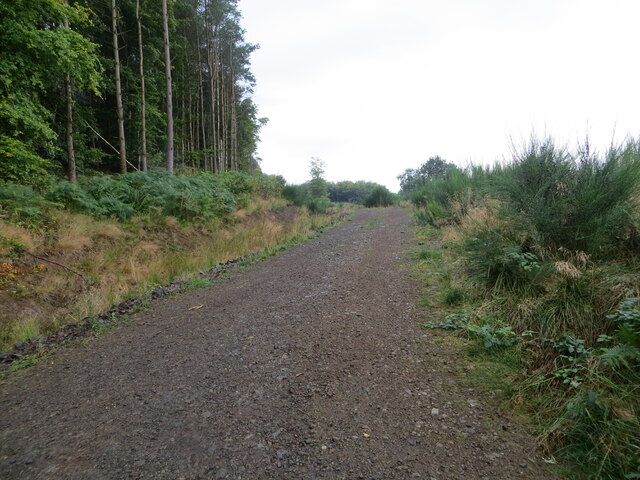
There are several well-maintained walking trails that wind through the wood, allowing visitors to explore its beauty at their leisure. These trails cater to different abilities, ranging from easy strolls to more challenging hikes. Along the way, visitors can enjoy the tranquility of the forest, the soothing sound of birdsong, and the occasional babbling stream.

Craigs Wood also boasts a rich history, with evidence of human settlement dating back thousands of years. Archaeological sites, such as ancient cairns and stone circles, can be found within the wood, providing a glimpse into the area's past.

Overall, Craigs Wood is a haven of natural beauty, offering visitors a chance to immerse themselves in the Scottish countryside. Whether it's a leisurely walk, birdwatching, or a historical exploration, this forest provides a delightful experience for all.

If you have any feedback on the listing, please let us know in the comments section below.

Craigs Wood Images

Images are sourced within 2km of 56.068912/-3.9900833 or Grid Reference NS7688. Thanks to Geograph Open Source API. All images are credited.

The start of the track to Old Sauchie Sadly marred by dumping and signs of tyre burning.  While the OS marks this as a track all the way to Old Sauchie, it deteriorates into a very poor and boggy path after 100 metres or so.
The start of the track to Old Sauchie
Sadly marred by dumping and signs of tyre burning. While the OS marks this as a track all the way to Old Sauchie, it deteriorates into a very poor and boggy path after 100 metres or so.
The track to Old Sauchie This OS marked track varies between a decent track and a boggy faint path as it moves from the single track road in the west and Old Sauchie.
The track to Old Sauchie
This OS marked track varies between a decent track and a boggy faint path as it moves from the single track road in the west and Old Sauchie.
Track through the fields from Old Sauchie
The track from Old Sauchie
The approach to Old Sauchie
The Great Hall at Old Sauchie "Great Hall" is how the OS describes this fine building.
The Great Hall at Old Sauchie
"Great Hall" is how the OS describes this fine building.
The path from Old Sauchie to Lewis Hill At time of visit the gates on the track at NS7780 8849 were locked by the landowner, complicating access to this route.
The path from Old Sauchie to Lewis Hill
At time of visit the gates on the track at NS7780 8849 were locked by the landowner, complicating access to this route.
Walkers on the track to the Lewis Hill trigpoint
The Lewis Hill trig point The waters of the North Third Reservoir just showing to the left.
The Lewis Hill trig point
The waters of the North Third Reservoir just showing to the left.
The path along the top of Sauchie Craig
Path on the steep descent from Sauchie Craig to Windy Yet Glen
Looking up to the cliffs of Sauchie Craig
Earth dam at North Third Reservoir The water level appears to be fairly low.
Earth dam at North Third Reservoir
The water level appears to be fairly low.
Bridge on the path around the North Third Reservoir
Boardwalk and steps on the path round North Third Reservoir
Approaching Weatherlaw Wood The single-track road eventually will bring us back to Stirling.
Approaching Weatherlaw Wood
The single-track road eventually will bring us back to Stirling.
Forest track at Canglour Looking westward.
Forest track at Canglour
Looking westward.
Track crossing rough ground near to Burnside Looking south-eastward.
Track crossing rough ground near to Burnside
Looking south-eastward.
Show me another place!

Craigs Wood is located at Grid Ref: NS7688 (Lat: 56.068912, Lng: -3.9900833)

Unitary Authority: Stirling

Police Authority: Forth Valley

What 3 Words

///punctual.attracts.stuns. Near Bannockburn, Stirling

Nearby Locations

Craigs Wood Lewis Hill

Related Wikis

Howietoun Fishery

Howietoun Fishery was created by Sir James Ramsay Gibson Maitland; it is a Victorian fish farm that specialised in the study of trout and salmon farming...

Gillies Hill

Gillies Hill is located west of Stirling and the M9, south of Cambusbarron, and north of the Bannock Burn in Central Scotland. Gillies Hill covers a 140...

Auchenbowie House

Auchenbowie House is a laird's house (mansion) in Stirling, Scotland. The location is about 3.5 miles (5.6 km) south of Stirling, on minor road west of...

Stirling Transmitting Station

Stirling Transmitting Station is a transmission facility on Earl's Hill southwest of Stirling, Scotland. It was built at the end of the 1950s for the radio...

Nearby Amenities

Located within 500m of 56.068912,-3.9900833
Turning Circle
Lat/Long: 56.0698023/-3.9835064
Turning Circle
Lat/Long: 56.0659882/-3.9902729
The data included in this document is from www.openstreetmap.org. The data is made available under ODbL.

Have you been to Craigs Wood?

Leave your review of Craigs Wood below (or comments, questions and feedback).