Arnhall Wood

Wood, Forest in Perthshire

Scotland

Arnhall Wood

Field, Dunblane Not yet built upon but one lane of the old A9 was closed and there was some Heras fencing up. Something may be happening.
Field, Dunblane Credit: Richard Webb

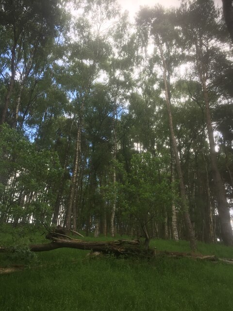
Arnhall Wood is a picturesque forest located in the region of Perthshire, Scotland. Covering an area of approximately 300 hectares, it is a haven of natural beauty and biodiversity. The wood is situated about 4 miles northwest of the town of Dunblane, making it easily accessible to visitors.

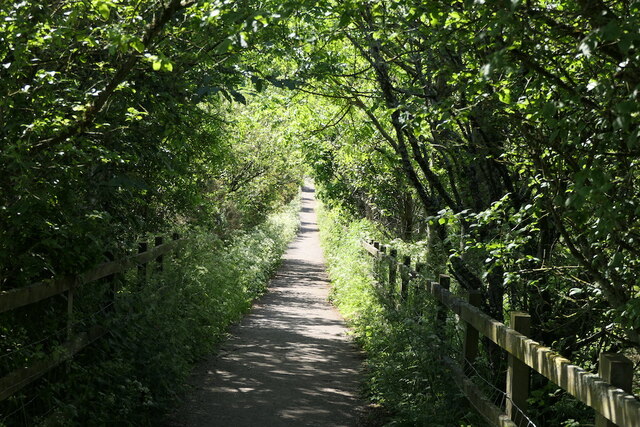
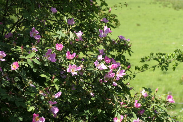
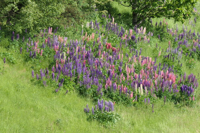
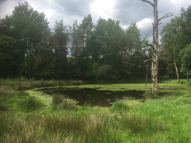
As one enters Arnhall Wood, they are greeted by a dense and diverse collection of trees, including oak, birch, beech, and Scots pine. The woodland floor is carpeted with an array of wildflowers and ferns, creating a vibrant and enchanting atmosphere. The forest is also home to a variety of wildlife, with red squirrels, roe deer, and a multitude of bird species being commonly sighted.

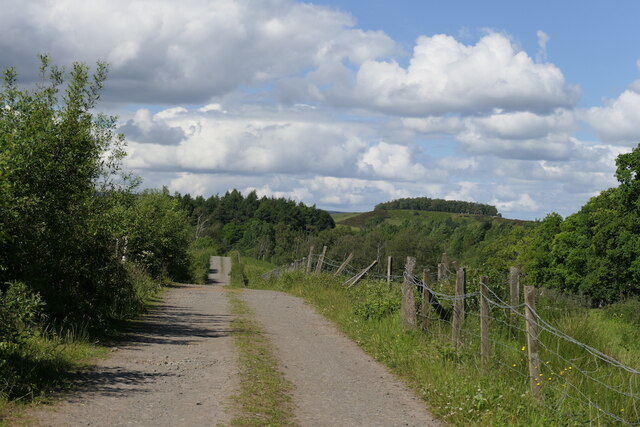
The wood offers a network of well-maintained trails, allowing visitors to explore its natural wonders at their own pace. These trails cater to a range of fitness levels, offering options for both leisurely strolls and more challenging hikes. For those interested in the history of the area, there are also remnants of ancient settlements and archaeological sites scattered throughout the wood.

Arnhall Wood is a popular destination for outdoor enthusiasts seeking tranquility and a connection with nature. It provides a peaceful escape from the hustle and bustle of everyday life, offering opportunities for relaxation, wildlife spotting, and enjoying the stunning views.

Overall, Arnhall Wood is a treasure trove of natural beauty, offering visitors a chance to immerse themselves in the serenity and splendor of Scotland's woodlands.

If you have any feedback on the listing, please let us know in the comments section below.

Arnhall Wood Images

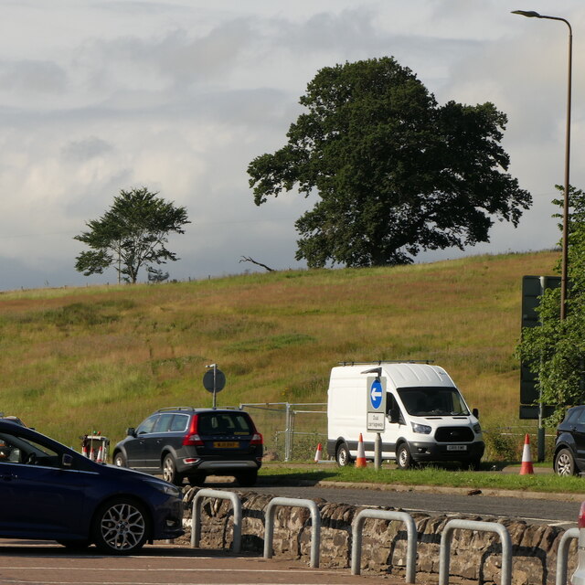
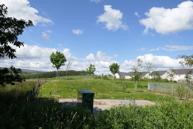
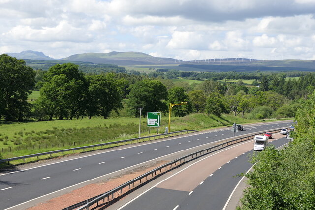
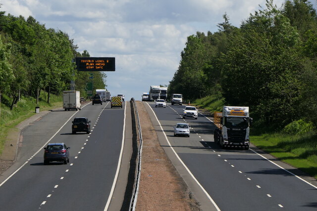
Images are sourced within 2km of 56.174447/-3.9958639 or Grid Reference NS7699. Thanks to Geograph Open Source API. All images are credited.

Field, Dunblane Not yet built upon but one lane of the old A9 was closed and there was some Heras fencing up. Something may be happening.
Field, Dunblane
Not yet built upon but one lane of the old A9 was closed and there was some Heras fencing up. Something may be happening.
Culdee Grove, Dunblane View from Old Doune Road. There is still a lot of land between the edge of town and the bypass that has not yet been built upon.
Culdee Grove, Dunblane
View from Old Doune Road. There is still a lot of land between the edge of town and the bypass that has not yet been built upon.
A9 Dunblane bypass With average speed camera.
A9 Dunblane bypass
With average speed camera.
A9 Dunblane bypass Covid-19 warning on the variable sign.  By this time the levels had lost all connection with reality.
A9 Dunblane bypass
Covid-19 warning on the variable sign. By this time the levels had lost all connection with reality.
Old Doune Road Descent from the bridge over the A9 towards Dunblane High School's playing field.
Old Doune Road
Descent from the bridge over the A9 towards Dunblane High School's playing field.
Roses, Old Doune Road
Road off Old Doune Road Connects Old Doune Road with the A820 and provides vehicular access to Dunblane High School's playing fields.
Road off Old Doune Road
Connects Old Doune Road with the A820 and provides vehicular access to Dunblane High School's playing fields.
Lupins beside the A9
Remains of a stripwood, Dunblane The A9 was built through this strip west of the current edge of the town.
Remains of a stripwood, Dunblane
The A9 was built through this strip west of the current edge of the town.
Pond, Dunblane Beside a slip road which joins the A9.  The dead tree suggests that drainage changed here in the past decades, perhaps as a result of the road being built.
Pond, Dunblane
Beside a slip road which joins the A9. The dead tree suggests that drainage changed here in the past decades, perhaps as a result of the road being built.
A9, Dunblane bypass The A9 is a strategic link between the Highlands of Scotland and the Central Belt. It runs 279 miles from junction 5 of the M9 at Polmont to Scrabster. Originally it ran from Edinburgh.
<span class="nowrap"><a title="https://www.sabre-roads.org.uk/wiki/index.php?title=A9" rel="nofollow ugc noopener" href="https://www.sabre-roads.org.uk/wiki/index.php?title=A9">Link</a><img style="margin-left:2px;" alt="External link" title="External link - shift click to open in new window" src="https://s1.geograph.org.uk/img/external.png" width="10" height="10"/></span>
A9, Dunblane bypass
The A9 is a strategic link between the Highlands of Scotland and the Central Belt. It runs 279 miles from junction 5 of the M9 at Polmont to Scrabster. Originally it ran from Edinburgh. LinkExternal link
Footbridge over A9 The A9 is a strategic link between the Highlands of Scotland and the Central Belt. It runs 279 miles from junction 5 of the M9 at Polmont to Scrabster. Originally it ran from Edinburgh.
<span class="nowrap"><a title="https://www.sabre-roads.org.uk/wiki/index.php?title=A9" rel="nofollow ugc noopener" href="https://www.sabre-roads.org.uk/wiki/index.php?title=A9">Link</a><img style="margin-left:2px;" alt="External link" title="External link - shift click to open in new window" src="https://s1.geograph.org.uk/img/external.png" width="10" height="10"/></span>
Footbridge over A9
The A9 is a strategic link between the Highlands of Scotland and the Central Belt. It runs 279 miles from junction 5 of the M9 at Polmont to Scrabster. Originally it ran from Edinburgh. LinkExternal link
A820 junction with A9 The A9 is a strategic link between the Highlands of Scotland and the Central Belt. It runs 279 miles from junction 5 of the M9 at Polmont to Scrabster. Originally it ran from Edinburgh.
<span class="nowrap"><a title="https://www.sabre-roads.org.uk/wiki/index.php?title=A9" rel="nofollow ugc noopener" href="https://www.sabre-roads.org.uk/wiki/index.php?title=A9">Link</a><img style="margin-left:2px;" alt="External link" title="External link - shift click to open in new window" src="https://s1.geograph.org.uk/img/external.png" width="10" height="10"/></span>
A820 junction with A9
The A9 is a strategic link between the Highlands of Scotland and the Central Belt. It runs 279 miles from junction 5 of the M9 at Polmont to Scrabster. Originally it ran from Edinburgh. LinkExternal link
Minor road towards Argaty
Minor road towards Kilbryde
The A9 Seen from a lay-by beside the A9 at Dunblane.
The A9
Seen from a lay-by beside the A9 at Dunblane.
Lay-by on the A9 A lay-by beside the A9 at Dunblane.
Lay-by on the A9
A lay-by beside the A9 at Dunblane.
Row OS Surface Block
Show me another place!

Arnhall Wood is located at Grid Ref: NS7699 (Lat: 56.174447, Lng: -3.9958639)

Unitary Authority: Stirling

Police Authority: Forth Valley

What 3 Words

///collects.claw.developer. Near Dunblane, Stirling

Related Wikis

Hill of Row

The Hill of Row (Scottish Gaelic: Cnoc Nan Rhu; Scots: Hill o Rou) is the high ground south east of Doune in Stirlingshire. == Etymology == The word Row...

Keir House

Keir House is a large country house near Stirling in central Scotland. It is located in the parish of Lecropt, 2.5 kilometres (1.6 mi) north-west of Bridge...

Dunblane

Dunblane (, Scottish Gaelic: Dùn Bhlàthain) is a small town in the council area of Stirling in central Scotland, and inside the historic boundaries of...

Duckburn Park

Duckburn Park was a football ground in Dunblane, Scotland. It was the home ground of Dunblane and Dunblane Rovers, and hosted a single Scottish Football...

Have you been to Arnhall Wood?

Leave your review of Arnhall Wood below (or comments, questions and feedback).