Craigs Plantation
Wood, Forest in Stirlingshire
Scotland
Craigs Plantation
Craigs Plantation is a picturesque woodland located in Stirlingshire, Scotland. Spanning over a vast area, the plantation is renowned for its stunning natural beauty and rich biodiversity. It is situated near the village of Craigs, nestled amidst the rolling hills and verdant landscapes that define the region.
The plantation is primarily composed of dense forests, comprising a variety of tree species such as oak, birch, beech, and pine. These towering trees create a captivating canopy that provides shade and shelter to a diverse array of flora and fauna. The forest floor is adorned with a vibrant carpet of mosses, ferns, and wildflowers, adding to the enchanting ambiance of the area.
Craigs Plantation is a haven for wildlife enthusiasts and nature lovers. The woodlands are home to numerous species of birds, including woodpeckers, owls, and various songbirds. Squirrels scurry among the treetops, while deer gracefully roam the forest floor. The plantation also boasts a rich insect population, with butterflies and bees flitting from flower to flower.
Visitors to Craigs Plantation can enjoy a range of recreational activities. There are well-maintained walking and hiking trails that wind through the woods, offering breathtaking views and opportunities for peaceful solitude. The plantation is also a popular spot for birdwatching and photography, as the natural surroundings provide ample opportunities to capture stunning images.
Overall, Craigs Plantation in Stirlingshire stands as a testament to the beauty of Scotland's natural landscapes. Its diverse ecosystem and serene atmosphere make it a must-visit destination for those seeking a tranquil escape into nature.
If you have any feedback on the listing, please let us know in the comments section below.
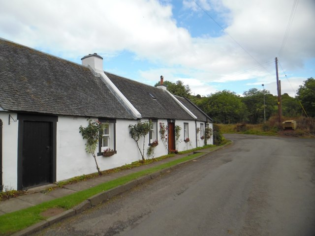
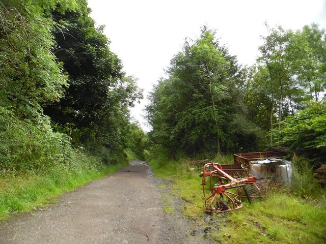
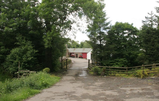
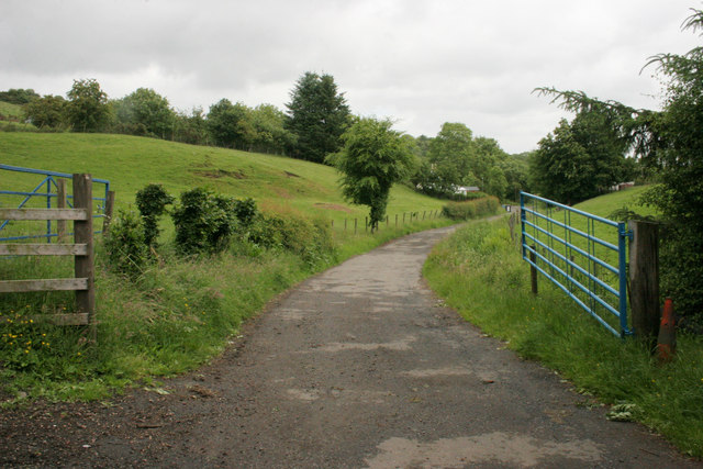
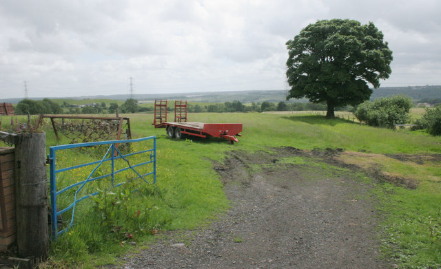
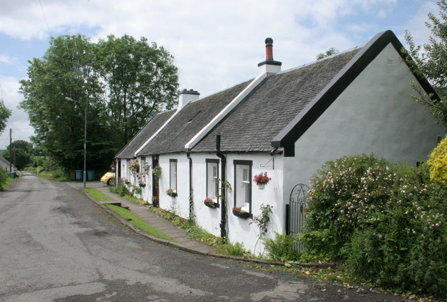
Craigs Plantation Images
Images are sourced within 2km of 55.999253/-3.9880721 or Grid Reference NS7680. Thanks to Geograph Open Source API. All images are credited.


Craigs Plantation is located at Grid Ref: NS7680 (Lat: 55.999253, Lng: -3.9880721)
Unitary Authority: North Lanarkshire
Police Authority: Lanarkshire
What 3 Words
///serve.chart.speak. Near Banknock, Falkirk
Nearby Locations
Related Wikis
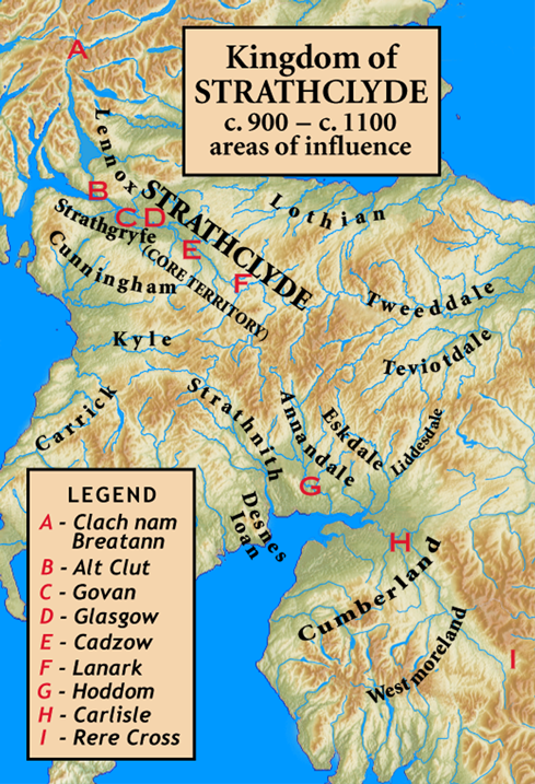
Kingdom of Strathclyde
Strathclyde (lit. "broad valley of the Clyde", Welsh: Ystrad Clud, Latin: Cumbria) was a Brittonic kingdom in northern Britain during the Middle Ages....
Banton, North Lanarkshire
Banton is a small village situated near Kilsyth in North Lanarkshire, Scotland. == History == The Covenanter army under General William Baillie formed...

Kelvinhead
Kelvinhead is a small hamlet in the vicinity of the village of Banton in Scotland. Located close to the source of the River Kelvin, it is little more than...

Banknock railway station
Banknock railway station served the village of Banknock in Scotland. The station was served by trains on the lines from Kilsyth New to Bonnybridge. �...

Braeface
Braeface is a village in Falkirk, Scotland. == External links == Canmore - Braeface site record

Battle of Kilsyth
The Battle of Kilsyth, fought on 15 August 1645 near Kilsyth, was an engagement of the Wars of the Three Kingdoms. The largest battle of the conflict in...

Banknock
Banknock (Scottish Gaelic: Baile nan Cnoc) is a village within the Falkirk council area in Central Scotland. The village is 6.7 miles (10.8 km) west-southwest...

Banton Loch
Banton Loch, also known as Kilsyth Loch, Townhead Reservoir and once nicknamed Bakers' Loch, is an artificial freshwater lake located to the east of Kilsyth...
Nearby Amenities
Located within 500m of 55.999253,-3.9880721Have you been to Craigs Plantation?
Leave your review of Craigs Plantation below (or comments, questions and feedback).