Bottomhead Reservoir
Lake, Pool, Pond, Freshwater Marsh in Stirlingshire
Scotland
Bottomhead Reservoir

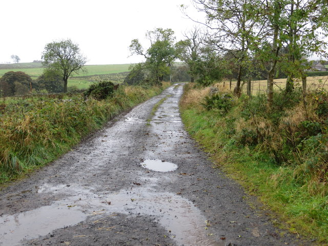
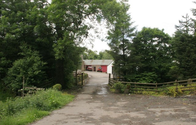
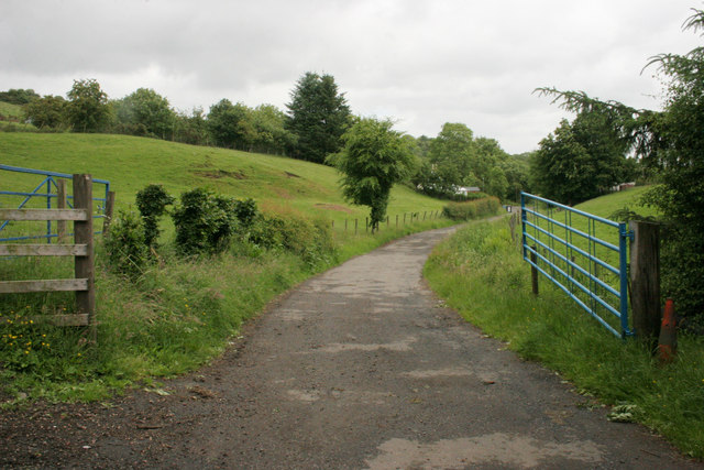
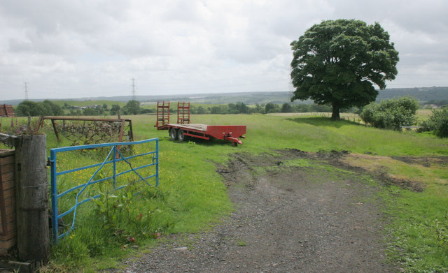
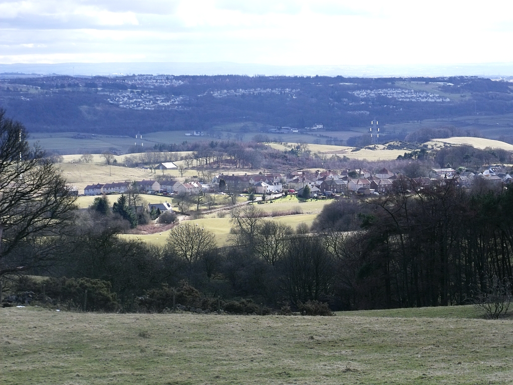
Bottomhead Reservoir is a freshwater lake located in Stirlingshire, Scotland. It is nestled in a picturesque landscape surrounded by rolling hills and lush greenery. The reservoir covers an area of approximately 50 acres and is a popular spot for outdoor enthusiasts and nature lovers alike.
The water in Bottomhead Reservoir is derived from a nearby river and is replenished through rainfall and runoff. It is known for its crystal-clear, pristine waters, making it an ideal habitat for various species of fish, including trout and pike. Anglers often flock to the reservoir to engage in fishing activities and enjoy the tranquility of the surroundings.
Surrounding the reservoir is a diverse ecosystem that includes marshes, ponds, and pools. These habitats provide a haven for a wide range of wildlife, including waterfowl, amphibians, and small mammals. Birdwatchers can often spot a variety of species, such as herons, ducks, and swans, making it a popular destination for birdwatching enthusiasts.
The surrounding area of Bottomhead Reservoir offers several walking trails and picnic spots, attracting visitors looking for a peaceful and scenic setting. The reservoir is also a popular location for water sports, including kayaking and canoeing, providing an opportunity for adventure seekers to explore the serene waters.
In conclusion, Bottomhead Reservoir in Stirlingshire is a stunning freshwater lake that offers a range of outdoor activities and opportunities for wildlife observation. Its natural beauty and diverse ecosystem make it an enchanting destination for visitors of all ages.
If you have any feedback on the listing, please let us know in the comments section below.
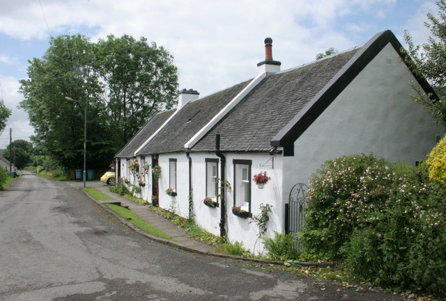
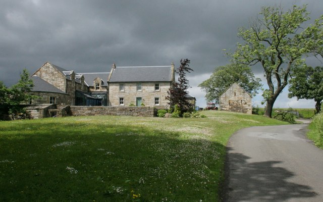
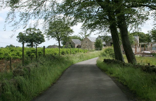
Bottomhead Reservoir Images
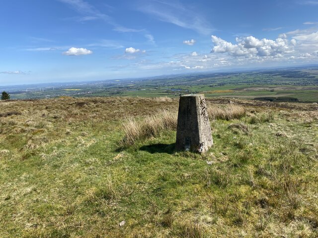
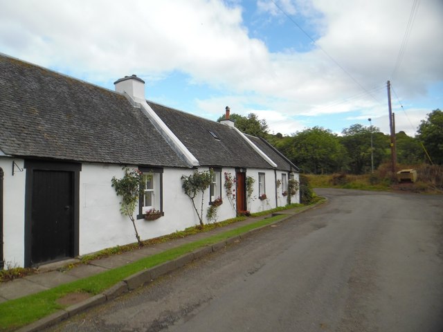
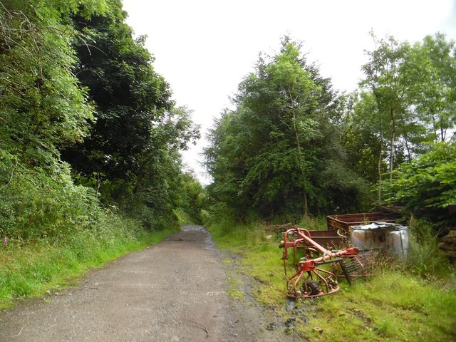
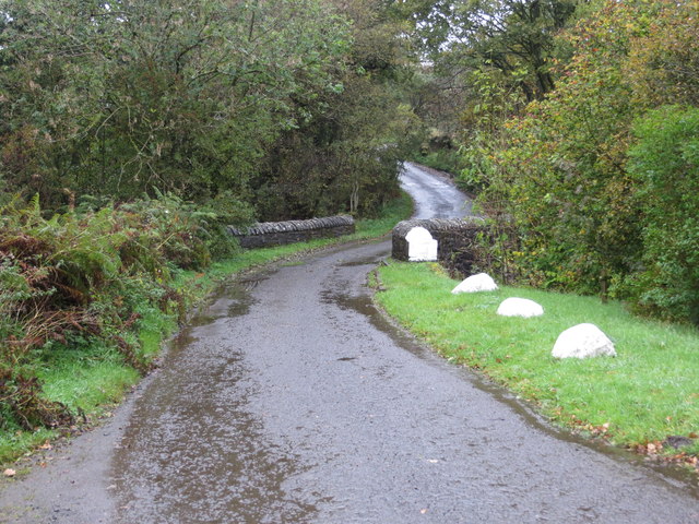
Images are sourced within 2km of 56.003617/-3.9827469 or Grid Reference NS7680. Thanks to Geograph Open Source API. All images are credited.


Bottomhead Reservoir is located at Grid Ref: NS7680 (Lat: 56.003617, Lng: -3.9827469)
Unitary Authority: Falkirk
Police Authority: Forth Valley
What 3 Words
///blitz.harnessed.vented. Near Banknock, Falkirk
Nearby Locations
Related Wikis
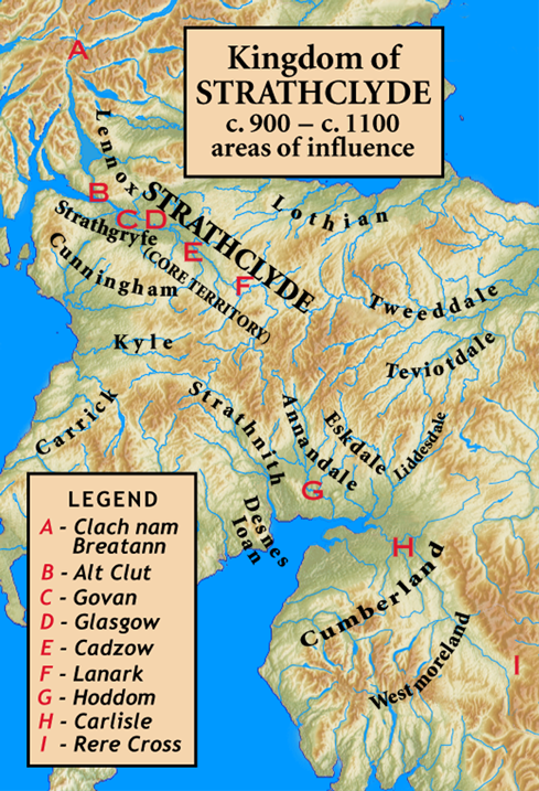
Kingdom of Strathclyde
Strathclyde (lit. "broad valley of the Clyde", Welsh: Ystrad Clud, Latin: Cumbria) was a Brittonic kingdom in northern Britain during the Middle Ages....
Banton, North Lanarkshire
Banton is a small village situated near Kilsyth in North Lanarkshire, Scotland. == History == The Covenanter army under General William Baillie formed...

Banknock railway station
Banknock railway station served the village of Banknock in Scotland. The station was served by trains on the lines from Kilsyth New to Bonnybridge. �...

Braeface
Braeface is a village in Falkirk, Scotland. == External links == Canmore - Braeface site record
Have you been to Bottomhead Reservoir?
Leave your review of Bottomhead Reservoir below (or comments, questions and feedback).