Birch Wood

Wood, Forest in Kirkcudbrightshire

Scotland

Birch Wood

Gravestones on north side of church at Corsock The small church at Corsock lies outside the village, south-east of it, and alongside the A712.
The green building beside it is a church hall of lower architectural merit but doubtless of value to the local community.
Gravestones on north side of church at Corsock Credit: Trevor Littlewood

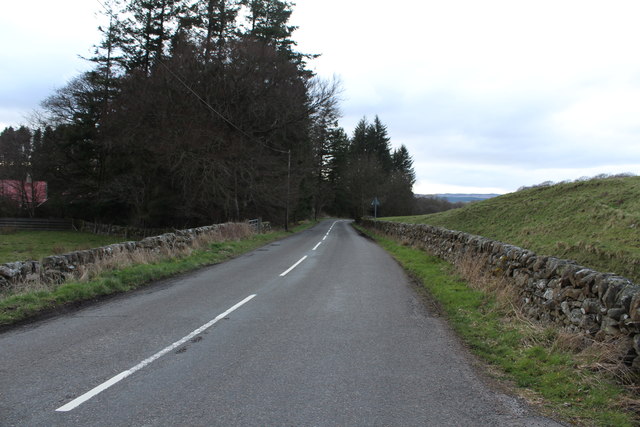
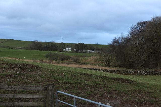
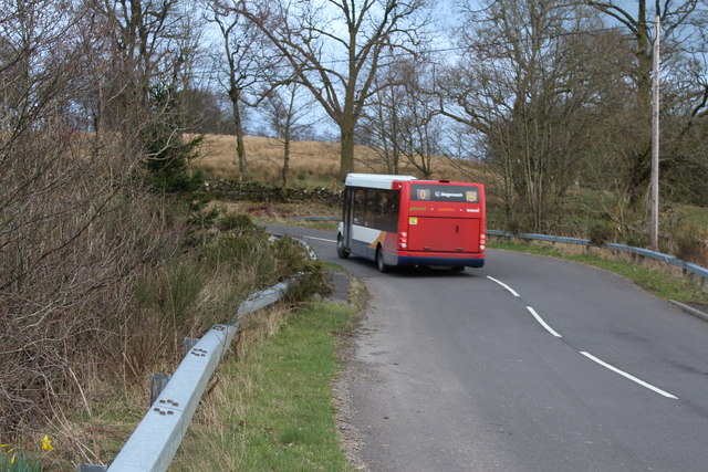
Birch Wood, located in Kirkcudbrightshire, Scotland, is a picturesque forest area known for its abundant birch trees and tranquil surroundings. Spanning over a vast area, the wood is a popular destination for nature enthusiasts, hikers, and wildlife observers.

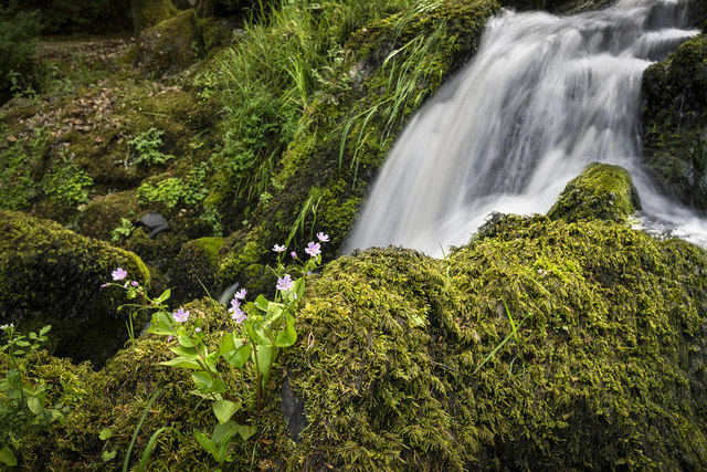
The forest is predominantly composed of native silver birch trees (Betula pendula), which thrive in the cool and moist climate of the region. These slender deciduous trees, characterized by their distinctive white bark and delicate leaves, create a stunning sight as they sway gently in the breeze. In addition to birch trees, the wood is also home to a variety of other tree species, including oak, beech, and pine, offering a diverse and vibrant ecosystem.

Birch Wood is known for its rich biodiversity, providing a habitat for numerous wildlife species. Birdwatchers can spot a wide range of avian species, including woodpeckers, owls, and various songbirds. The forest floor is teeming with smaller mammals like squirrels, rabbits, and voles, while larger mammals such as deer and foxes can be occasionally glimpsed from the woodland trails.

The wood offers an extensive network of walking trails, allowing visitors to explore its beauty at their own pace. These paths wind through the forest, offering stunning vistas of the surrounding countryside and providing opportunities for peaceful reflection and relaxation. The wood is particularly popular during the autumn months when the foliage transforms into a vibrant tapestry of red, orange, and gold.

Overall, Birch Wood in Kirkcudbrightshire is a captivating natural haven, offering a perfect retreat for those seeking tranquility and a deeper connection with nature.

If you have any feedback on the listing, please let us know in the comments section below.
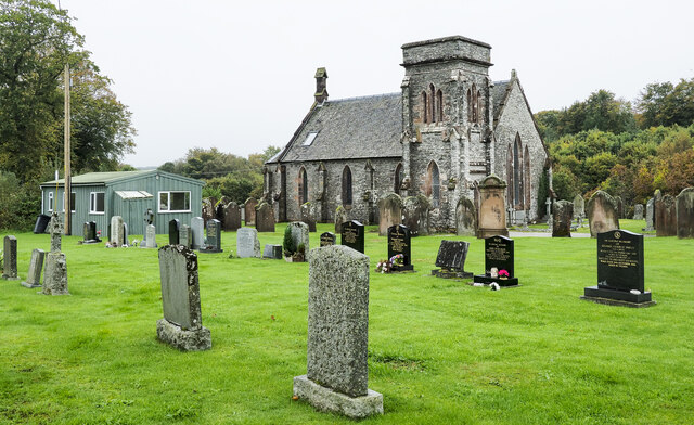
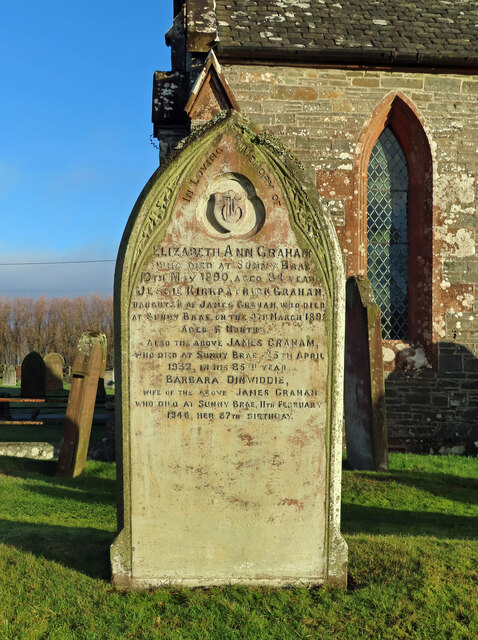
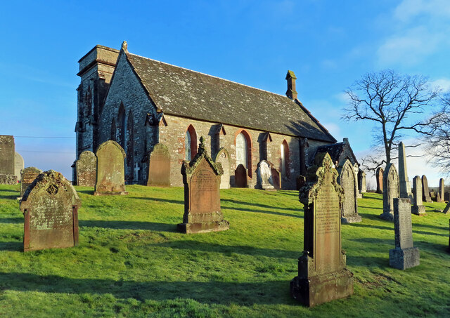
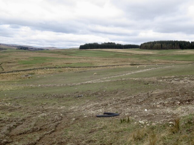
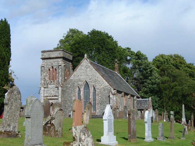
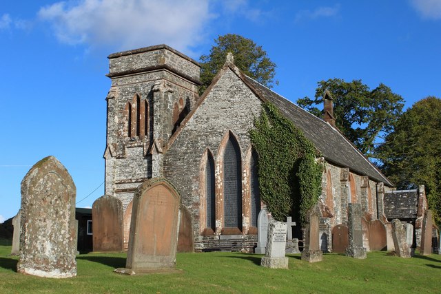
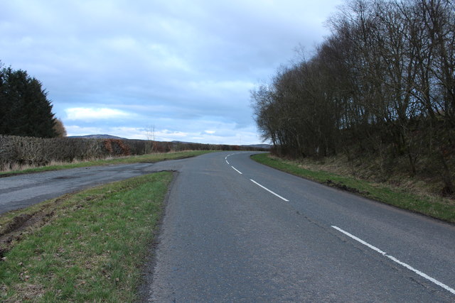
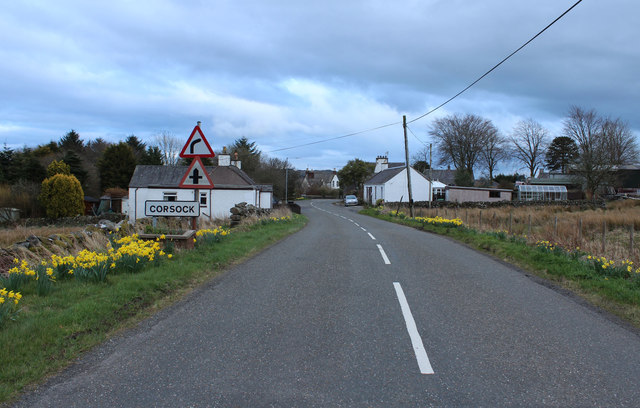
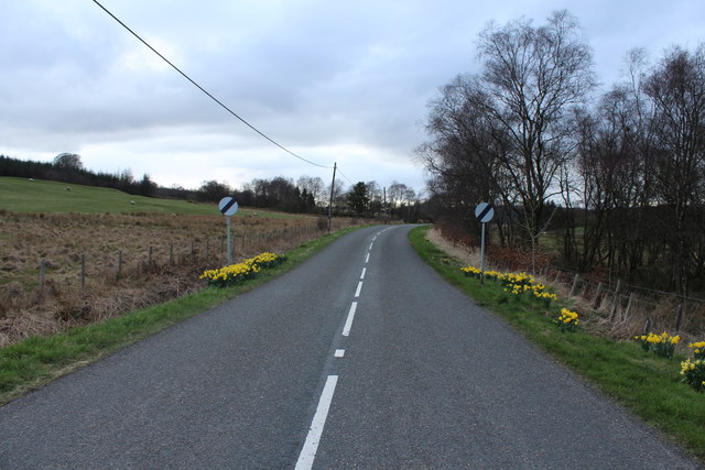
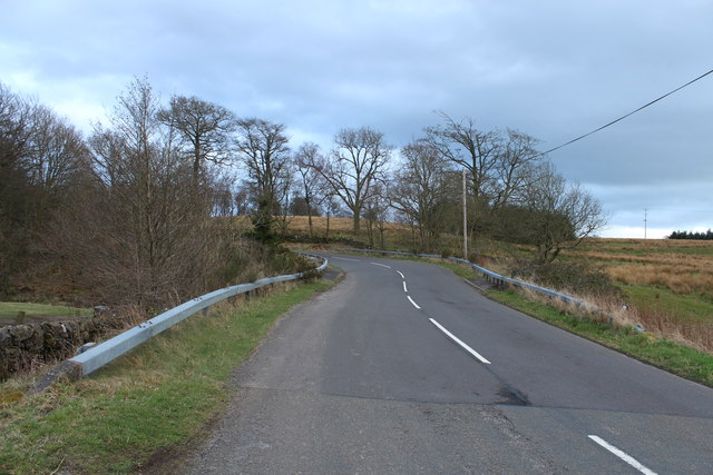
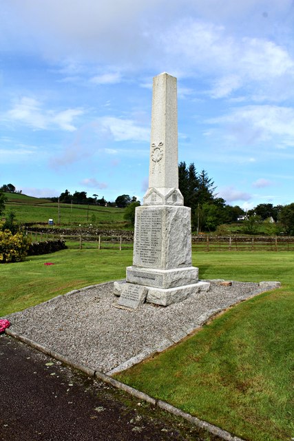
Birch Wood Images

Images are sourced within 2km of 55.067545/-3.9476923 or Grid Reference NX7576. Thanks to Geograph Open Source API. All images are credited.

Gravestones on north side of church at Corsock The small church at Corsock lies outside the village, south-east of it, and alongside the A712.
The green building beside it is a church hall of lower architectural merit but doubtless of value to the local community.
Gravestones on north side of church at Corsock
The small church at Corsock lies outside the village, south-east of it, and alongside the A712. The green building beside it is a church hall of lower architectural merit but doubtless of value to the local community.
Corsock & Kirkpatrick Durham graveyard There seems to be a local custom of recording the place of death on the old headstones. This one marks the burial place of the Graham family, all of whom died at Sunny Brae. The stone records the sad story of a 6-month-old child’s death in 1892, with her parents reaching their eighties in 1932 and 1946. No other children are recorded on the stone.
Corsock & Kirkpatrick Durham graveyard
There seems to be a local custom of recording the place of death on the old headstones. This one marks the burial place of the Graham family, all of whom died at Sunny Brae. The stone records the sad story of a 6-month-old child’s death in 1892, with her parents reaching their eighties in 1932 and 1946. No other children are recorded on the stone.
Corsock & Kirkpatrick Durham Church A winter view of the building which dates from 1839.
Corsock & Kirkpatrick Durham Church
A winter view of the building which dates from 1839.
Rough pasture, Cairny Hill
Corsock and Kirkpatrick Durham church and churchyard, Corsock
Corsock & Kirkpatrick Durham Church Category B-listed. Built 1839.
Corsock & Kirkpatrick Durham Church
Category B-listed. Built 1839.
Corsock War Memorial
A712 at Langtoo Bank
The A712 to Crocketford
Arriving at Corsock
Arriving at Corsock
Road to Balmaclellan
A712 at Drumhumphry Bridge
A712 to Corsock
A712 to Corsock
Farmland at Drumhumphry
Stagecoach Bus at Drumhumphry Bridge
Corsock and Kirkpatrick Durham Church
Corsock War Memorial
Corsock House Garden <span class="nowrap"><a title="https://flic.kr/p/28aqrwa" rel="nofollow ugc noopener" href="https://flic.kr/p/28aqrwa">Link</a><img style="margin-left:2px;" alt="External link" title="External link - shift click to open in new window" src="https://s1.geograph.org.uk/img/external.png" width="10" height="10"/></span>
Corsock House Garden
Show me another place!

Birch Wood is located at Grid Ref: NX7576 (Lat: 55.067545, Lng: -3.9476923)

Unitary Authority: Dumfries and Galloway

Police Authority: Dumfries and Galloway

What 3 Words

///chopper.shifts.crouch. Near Castle Douglas, Dumfries & Galloway

Related Wikis

Corsock

Corsock (Scottish Gaelic: Corsag) is a village in the historical county of Kirkcudbrightshire, Dumfries and Galloway, south-west Scotland. It is located...

Glenlair House

Glenlair, near the village of Corsock in the historical county of Kirkcudbrightshire, in Dumfries and Galloway, was the home of the physicist James Clerk...

Dumfries and Galloway

Dumfries and Galloway (Scots: Dumfries an Gallowa; Scottish Gaelic: Dùn Phrìs is Gall-Ghaidhealaibh) is one of the 32 unitary council areas of Scotland...

Craigenputtock

Craigenputtock (usually spelled by the Carlyles as Craigenputtoch) is an estate in Scotland where Thomas Carlyle lived from 1828 to 1834. He wrote several...

Nearby Amenities

Located within 500m of 55.067545,-3.9476923
Corsock
Is In: Dumfries & Galloway, Scotland, UK
Name En: Corsock
Name Gd: Corsaig
Place: village
Lat/Long: 55.0668263/-3.9457983
Pub
Pringles
Disused: yes
Disused Amenity: pub
Note: Closed in 2016
Lat/Long: 55.0664823/-3.945927
Village
Naptan AtcoCode: 680000064333
Naptan Bearing: NW
Naptan BusStopType: CUS
Naptan CommonName: Village
Naptan Indicator: Post Office
Naptan Landmark: Post Office
Naptan NaptanCode: 34235969
Naptan Notes: none
Naptan Street: Main Street
Naptan Verified: no
Source: naptan_import
Lat/Long: 55.0661451/-3.9452351
Village
Naptan AtcoCode: 680000064444
Naptan Bearing: SE
Naptan BusStopType: CUS
Naptan CommonName: Village
Naptan Indicator: School
Naptan Landmark: Primary School
Naptan NaptanCode: 34235968
Naptan Notes: none
Naptan Street: Main Street
Naptan Verified: no
Source: naptan_import
Lat/Long: 55.066061/-3.9448708
Post Box
Post Box Type: lamp
Ref: DG7 80
Royal Cypher: scottish_crown
Lat/Long: 55.0665447/-3.9456961
Crogo
Place: locality
Lat/Long: 55.070995/-3.9502062
Parking
Parking: layby
Lat/Long: 55.0694462/-3.9535593
Defibrillator
Covered: yes
Defibrillator Location: Corsock Village Hall. Inside porch. 24 hour access.
Emergency: defibrillator
Opening Hours: 24/7
Lat/Long: 55.0663725/-3.9455418
Post Office
Corsock Mobile Post Office Service
Addr City: Castle Douglas
Addr Country: GB
Addr Postcode: DG7 3DN
Addr Village: Corsock
Brand: Post Office
Brand Wikidata: Q1783168
Check Date: 2022-05-27
Check Date Opening Hours: 2022-05-27
Contact Website: https://www.postoffice.co.uk/branch-finder/7068182/corsock-mobile-service
Opening Hours: Mo 12:00-12:45; Th 12:00-13:00
Ref Pol Id: 108868
Lat/Long: 55.0663545/-3.9459889
Power: pole
Lat/Long: 55.0645776/-3.943007
Power: pole
Lat/Long: 55.0649341/-3.9438631
Power: pole
Lat/Long: 55.0639365/-3.9449721
Power: pole
Lat/Long: 55.064383/-3.9440628
Power: pole
Lat/Long: 55.0657893/-3.9435126
Power: pole
Lat/Long: 55.0663611/-3.9432747
Power: pole
Lat/Long: 55.0674024/-3.9428328
Power: pole
Lat/Long: 55.0677552/-3.9417344
Power: pole
Lat/Long: 55.0681858/-3.9403918
Power: pole
Lat/Long: 55.0686079/-3.9450762
Power: pole
Lat/Long: 55.0691578/-3.9461257
Power: pole
Lat/Long: 55.0679949/-3.9439353
Power: pole
Lat/Long: 55.0676725/-3.9445918
Power: pole
Lat/Long: 55.0676287/-3.9461554
Power: pole
Lat/Long: 55.0697514/-3.9472453
Power: pole
Lat/Long: 55.0697891/-3.9486304
Power: pole
Lat/Long: 55.0698195/-3.9498711
Power: pole
Lat/Long: 55.0698597/-3.9513242
Power: pole
Lat/Long: 55.069901/-3.9533276
Power: pole
Lat/Long: 55.0699266/-3.9543303
Power: pole
Lat/Long: 55.0646555/-3.9456689
Power: pole
Lat/Long: 55.0644341/-3.9470031
Power: pole
Lat/Long: 55.0642212/-3.9483797
Power: pole
Lat/Long: 55.064035/-3.9496013
Power: pole
Lat/Long: 55.0638562/-3.950723
Power: pole
Lat/Long: 55.0707932/-3.9499147
Booth: K6
Covered: booth
Disused Amenity: telephone
Man Made: telephone_box
Lat/Long: 55.0661957/-3.9450044
Shelter
Shelter Type: public_transport
Lat/Long: 55.0662562/-3.9450724
The data included in this document is from www.openstreetmap.org. The data is made available under ODbL.

Have you been to Birch Wood?

Leave your review of Birch Wood below (or comments, questions and feedback).