Balgerran Strip
Wood, Forest in Kirkcudbrightshire
Scotland
Balgerran Strip

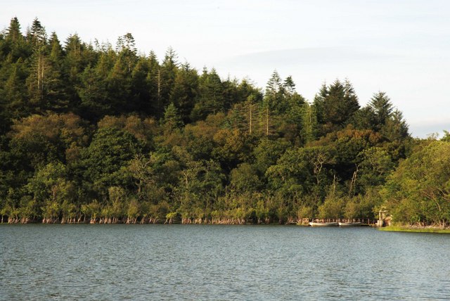
Balgerran Strip is a dense and sprawling wood located in the historic county of Kirkcudbrightshire, Scotland. Situated in the southern region of the country, this forested area covers a vast expanse of approximately 200 acres. Its mesmerizing landscape is characterized by a diverse range of trees, including both native and exotic species.
The wood boasts a rich and varied ecosystem, providing a habitat for numerous plant and animal species. The towering Scots pine, oak, and beech trees dominate the canopy, providing shelter and protection to a plethora of wildlife. The forest floor is adorned with a vibrant carpet of ferns, mosses, and wildflowers, creating a picturesque setting.
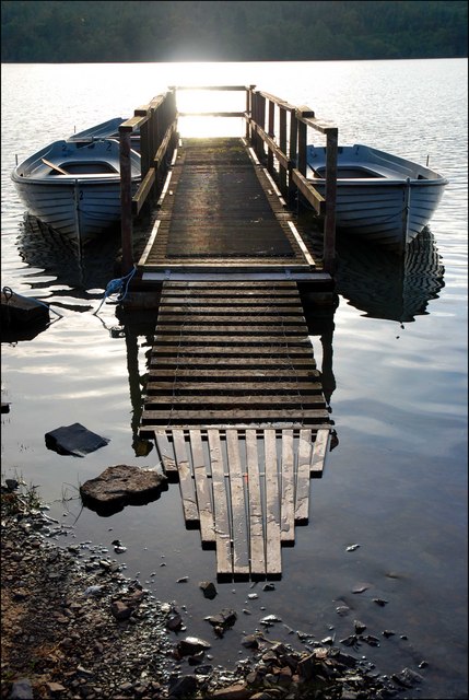
Balgerran Strip is not only a haven for nature enthusiasts but also offers recreational opportunities for visitors. A network of well-maintained trails weaves through the forest, allowing hikers, joggers, and cyclists to explore its beauty firsthand. The tranquility and serenity of the woodland make it an ideal spot for those seeking solace in nature.
Beyond its natural beauty, Balgerran Strip holds historical significance as well. The forest has witnessed the passage of time and the changing landscape of Kirkcudbrightshire. It stands as a testament to the region's deep-rooted connection with nature and serves as a reminder of its rich cultural heritage.
Overall, Balgerran Strip is a captivating wood in Kirkcudbrightshire that offers a breathtaking natural environment and a glimpse into the region's past. Its lush greenery, diverse wildlife, and peaceful ambience make it a must-visit destination for both locals and tourists alike.
If you have any feedback on the listing, please let us know in the comments section below.
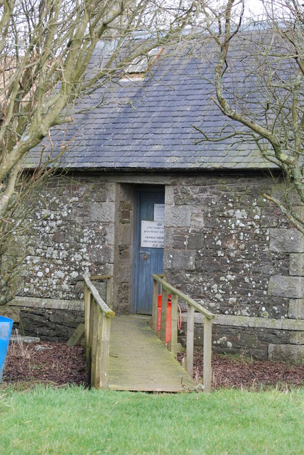
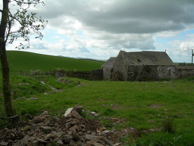
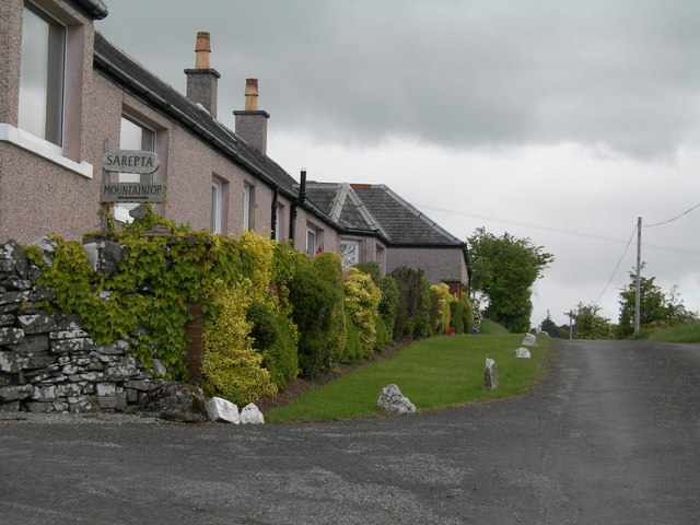
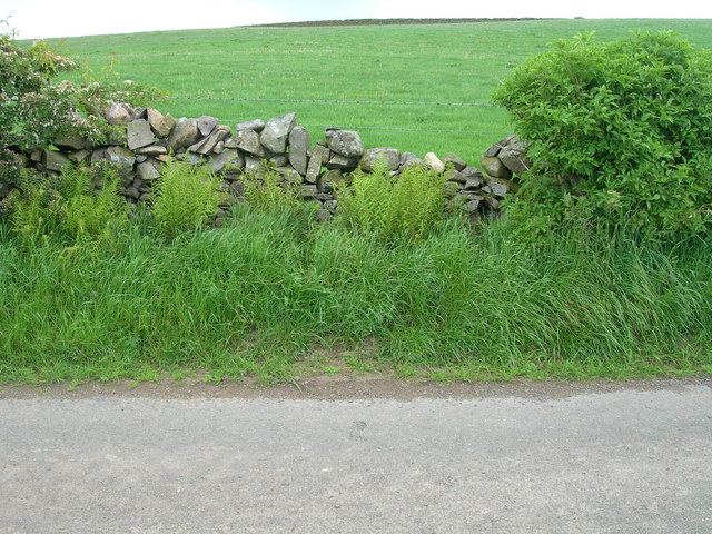
Balgerran Strip Images
Images are sourced within 2km of 54.99362/-3.9442963 or Grid Reference NX7568. Thanks to Geograph Open Source API. All images are credited.


Balgerran Strip is located at Grid Ref: NX7568 (Lat: 54.99362, Lng: -3.9442963)
Unitary Authority: Dumfries and Galloway
Police Authority: Dumfries and Galloway
What 3 Words
///sobs.churn.disgraced. Near Castle Douglas, Dumfries & Galloway
Nearby Locations
Related Wikis

Kilquhanity School
Kilquhanity School was one of several free schools to have been established in the United Kingdom in the twentieth century. Others include Sands School...

Crossmichael
Crossmichael (Scottish Gaelic: Crois Mhìcheil) is a small village on the east side of Loch Ken in the historical county of Kirkcudbrightshire, about 4...

Crossmichael Parish Church
Crossmichael Parish Church is an ecclesiastical building in Crossmichael, Dumfries and Galloway, Scotland. It lies on a knoll, which was probably an ancient...

Crossmichael railway station
Crossmichael railway station served the village of Crossmichael, Kirkcudbrightshire, Scotland, from 1861 to 1965 on the Portpatrick and Wigtownshire Joint...
Have you been to Balgerran Strip?
Leave your review of Balgerran Strip below (or comments, questions and feedback).