Gray Mare's Tail Wood
Wood, Forest in Kirkcudbrightshire
Scotland
Gray Mare's Tail Wood
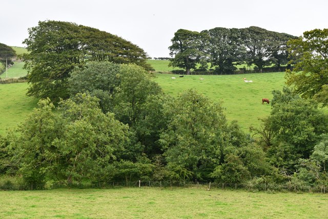
Gray Mare's Tail Wood is a stunning woodland located in the picturesque region of Kirkcudbrightshire, Scotland. Covering an area of approximately 400 hectares, this ancient forest is a haven for nature enthusiasts and outdoor adventurers alike.
The wood takes its name from the nearby Gray Mare's Tail waterfall, which cascades down a dramatic cliff face, creating a breathtaking sight. The wood itself is characterized by its diverse range of tree species, including oak, birch, and rowan. These towering trees create a dense canopy, providing a habitat for a variety of wildlife, such as red squirrels, badgers, and numerous bird species.
Visitors to Gray Mare's Tail Wood can enjoy a network of well-maintained trails that wind through the forest, offering stunning views of the surrounding countryside. The paths range in difficulty, catering to both casual walkers and more experienced hikers. Along the way, hikers can expect to encounter picturesque streams, tranquil ponds, and enchanting wildflower meadows.
For those interested in flora and fauna, Gray Mare's Tail Wood is home to a wide range of plant species, including rare orchids and ferns. The forest floor is also rich with mosses and lichens, adding to the woodland's enchanting atmosphere.
Overall, Gray Mare's Tail Wood is a natural gem that showcases the beauty and biodiversity of Kirkcudbrightshire. Whether seeking a peaceful stroll or an immersive nature experience, visitors will find solace and tranquility in this captivating woodland.
If you have any feedback on the listing, please let us know in the comments section below.
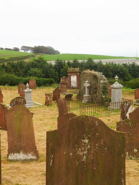
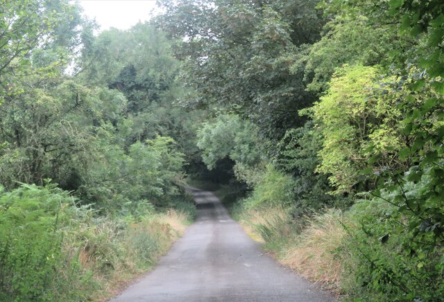
Gray Mare's Tail Wood Images
Images are sourced within 2km of 54.800333/-3.9548395 or Grid Reference NX7446. Thanks to Geograph Open Source API. All images are credited.


Gray Mare's Tail Wood is located at Grid Ref: NX7446 (Lat: 54.800333, Lng: -3.9548395)
Unitary Authority: Dumfries and Galloway
Police Authority: Dumfries and Galloway
What 3 Words
///walled.joys.reconnect. Near Kirkcudbright, Dumfries & Galloway
Nearby Locations
Related Wikis

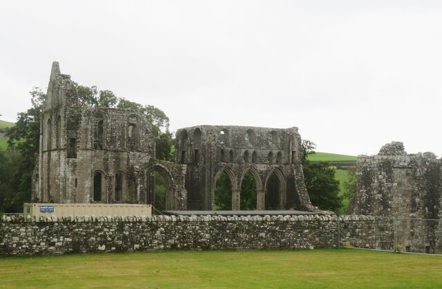
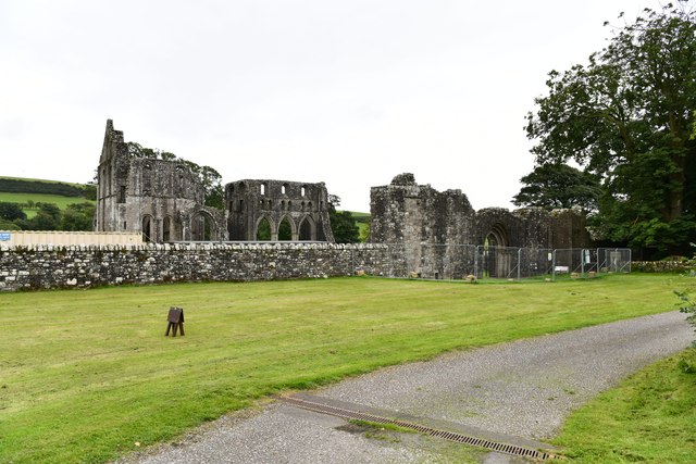
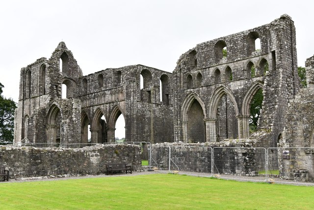
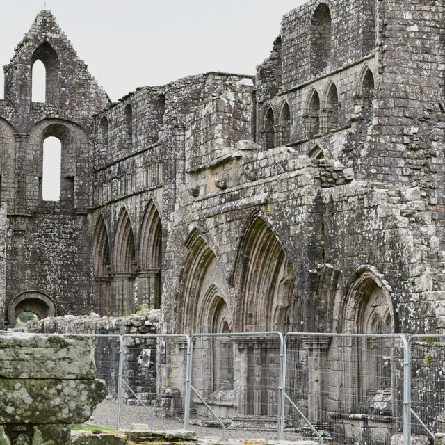
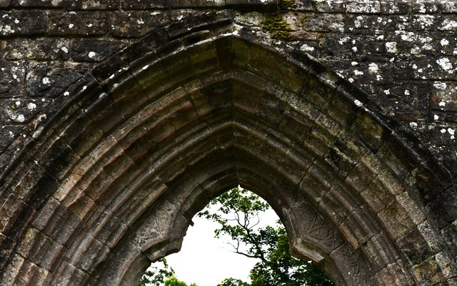
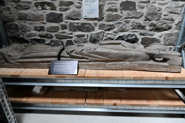
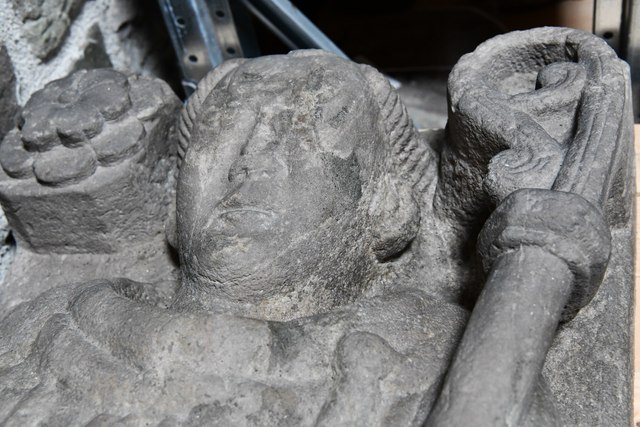
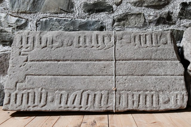
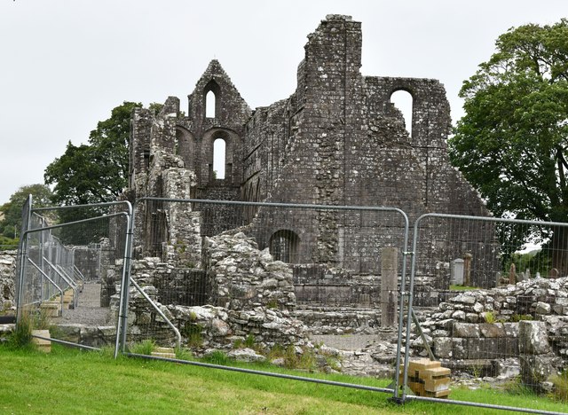
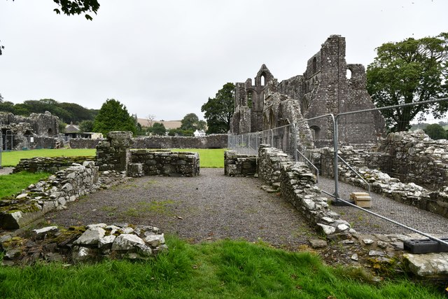
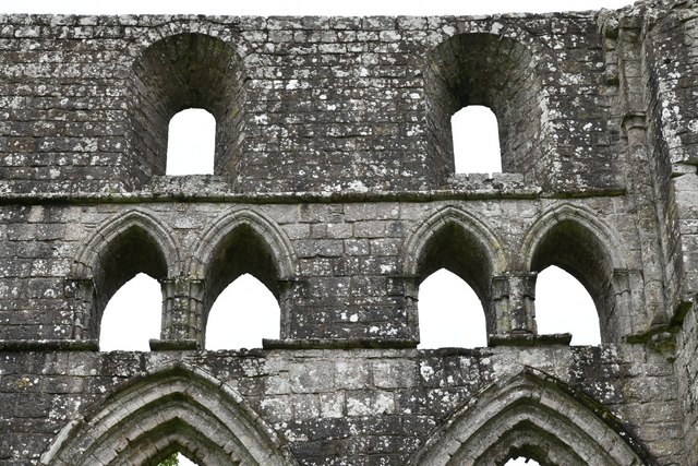
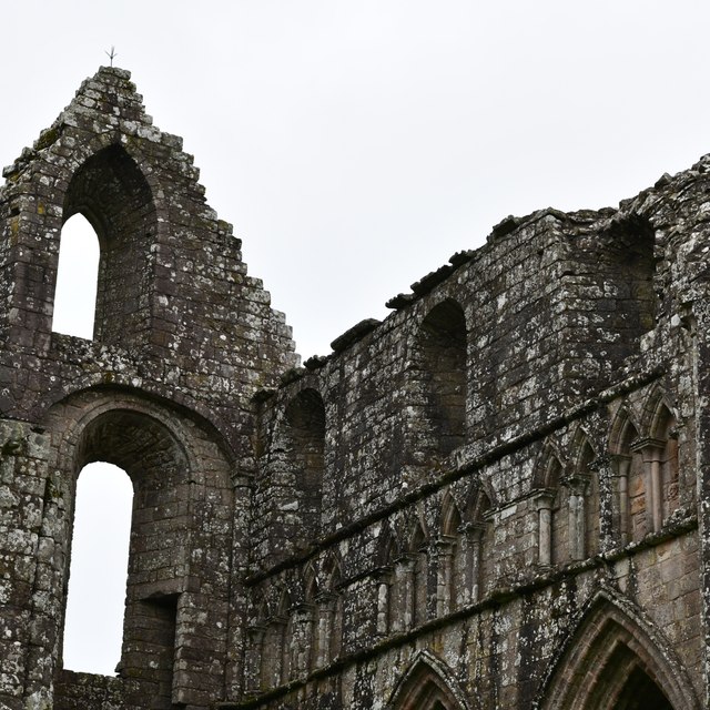
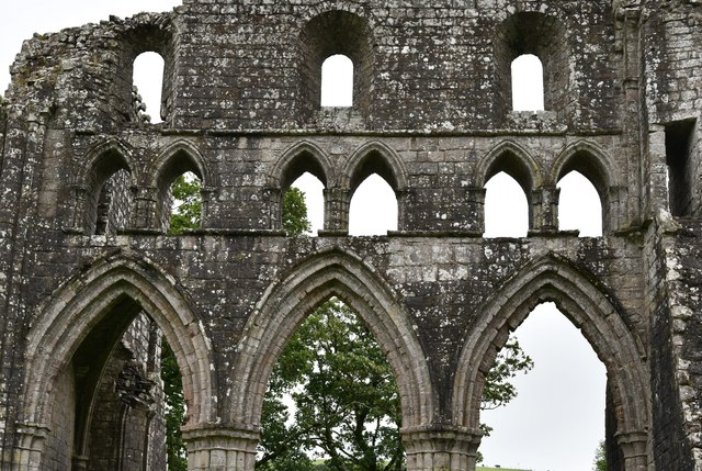
Dundrennan Abbey
Dundrennan Abbey, in Dundrennan, Scotland, near to Kirkcudbright, was a Cistercian monastery in the Romanesque architectural style, established in 1142...

Dundrennan
Dundrennan (Gaelic: Dun Droighnein) is a village Dumfries and Galloway, Scotland, about 5 miles (8 km) east of Kirkcudbright. Its population is around...

Wickerman Festival
The Wickerman Festival was an annual music festival held near Auchencairn in Dumfries and Galloway, Scotland. Dubbed "Scotland's Alternative Music festival...

Dundrennan Range
Dundrennan Range is a weapons testing range on the Solway Firth, near Kirkcudbright in Dumfries and Galloway, in south west Scotland, it is part of the...
Nearby Amenities
Located within 500m of 54.800333,-3.9548395Have you been to Gray Mare's Tail Wood?
Leave your review of Gray Mare's Tail Wood below (or comments, questions and feedback).