Braefoot Plantation
Wood, Forest in Kirkcudbrightshire
Scotland
Braefoot Plantation
Braefoot Plantation is a picturesque woodland located in the county of Kirkcudbrightshire, Scotland. Spanning over a vast area, this plantation is known for its rich biodiversity and stunning natural beauty. The woodland is situated in the southern part of the county, near the town of Kirkcudbright.
Covering a mix of native and exotic tree species, Braefoot Plantation offers a diverse habitat for a wide range of flora and fauna. The dominant tree species found here include oak, beech, and Scots pine, along with some non-native varieties such as Douglas fir and Japanese larch. The lush undergrowth consists of ferns, wildflowers, and various mosses, creating a vibrant and enchanting environment.
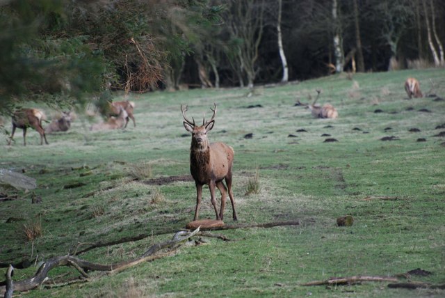
The plantation is a popular destination for nature enthusiasts and outdoor enthusiasts alike. Its well-maintained trails provide opportunities for walking, hiking, and birdwatching. The woodland is home to a variety of bird species, including the great spotted woodpecker, tawny owl, and chiffchaff. Other wildlife sightings may include red squirrels, roe deer, and foxes.
Braefoot Plantation holds historical significance as well. It was once part of an estate owned by a local noble family and has been carefully managed for centuries. Today, the woodland is managed by local authorities with a focus on conservation and sustainable forestry practices.
Visitors to Braefoot Plantation can enjoy the tranquility of the natural surroundings, observe wildlife in their natural habitat, and appreciate the beauty of this ancient woodland.
If you have any feedback on the listing, please let us know in the comments section below.
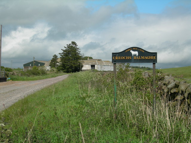
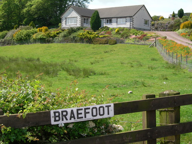
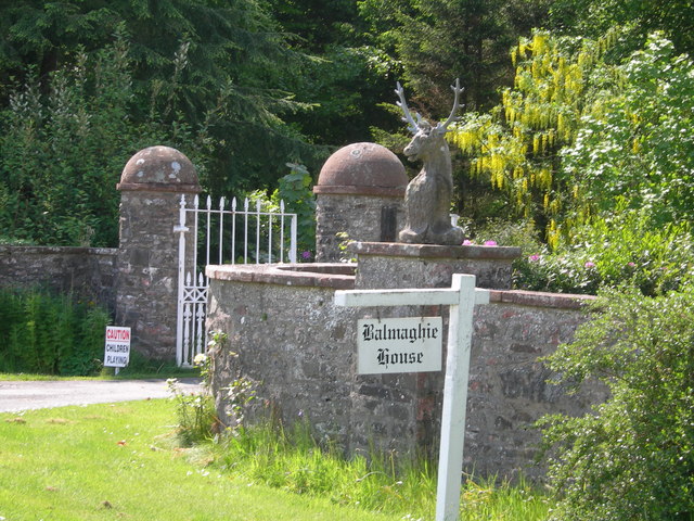
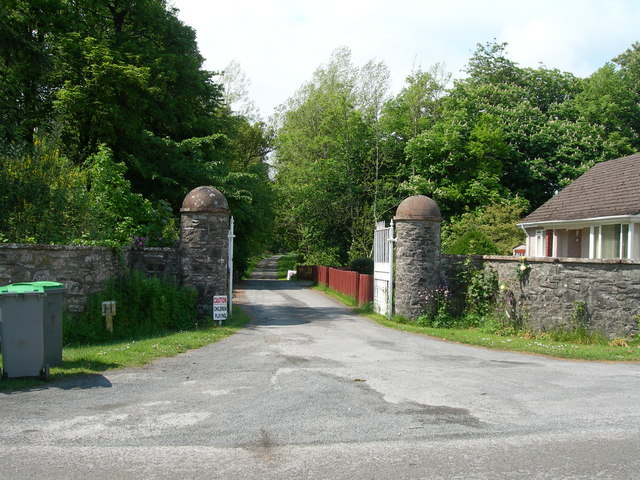
Braefoot Plantation Images
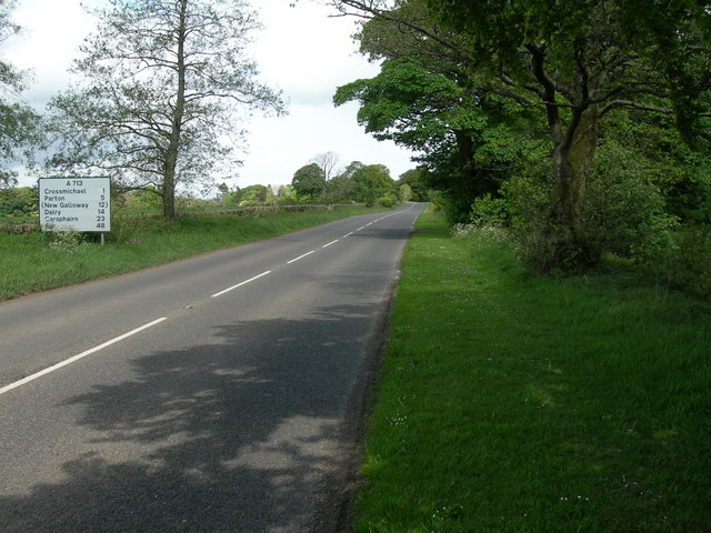
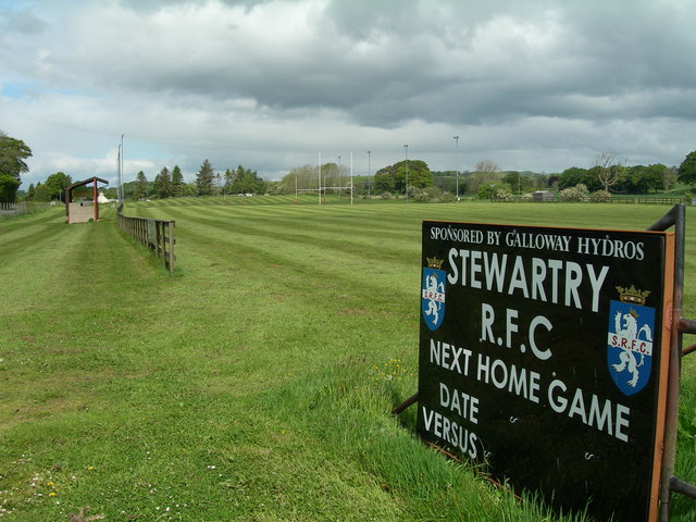
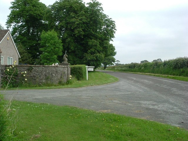
Images are sourced within 2km of 54.952339/-3.9837024 or Grid Reference NX7363. Thanks to Geograph Open Source API. All images are credited.


Braefoot Plantation is located at Grid Ref: NX7363 (Lat: 54.952339, Lng: -3.9837024)
Unitary Authority: Dumfries and Galloway
Police Authority: Dumfries and Galloway
What 3 Words
///socialite.operation.broken. Near Castle Douglas, Dumfries & Galloway
Nearby Locations
Related Wikis

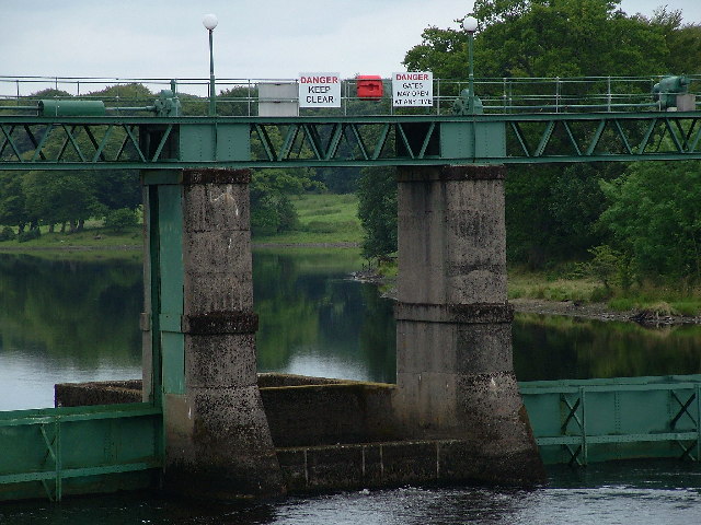
Glenlochar
Glenlochar (Gd: Gleann Lochair) is a hamlet on the western bank of the River Dee in the parish of Balmaghie in the historical county of Kirkcudbrightshire...

Abbey Yard
Abbey Yard is a location in Dumfries and Galloway, Scotland. Abbey Yard is near Glenlochar in the historical county of Kirkcudbrightshire in the Dumfries...

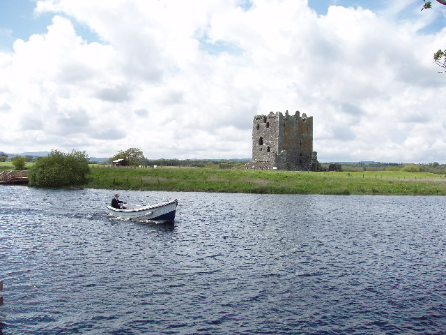
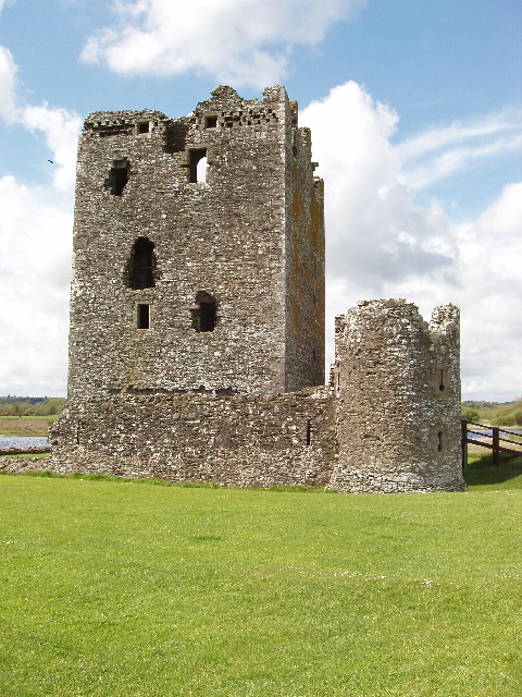
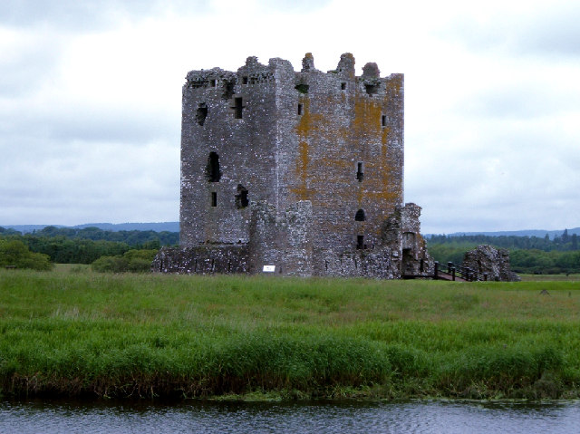
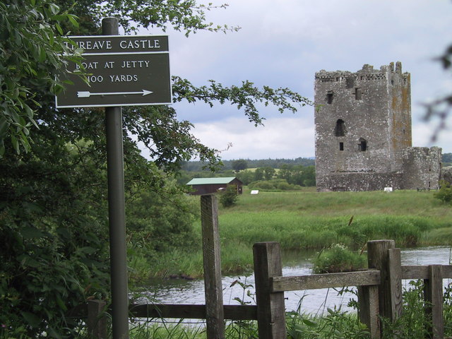
Threave Castle
Threave Castle is situated on an island in the River Dee, 2.5 kilometres (1.6 mi) west of Castle Douglas in the historical county of Kirkcudbrightshire...

Balmaghie
Balmaghie ( bal-mə-GEE), from the Scottish Gaelic Baile Mhic Aoidh, is an ecclesiastical and civil parish in the historical county of Kirkcudbrightshire...

Crossmichael
Crossmichael (Scottish Gaelic: Crois Mhìcheil) is a small village on the east side of Loch Ken in the historical county of Kirkcudbrightshire, about 4...

Crossmichael railway station
Crossmichael railway station served the village of Crossmichael, Kirkcudbrightshire, Scotland, from 1861 to 1965 on the Portpatrick and Wigtownshire Joint...

Crossmichael Parish Church
Crossmichael Parish Church is an ecclesiastical building in Crossmichael, Dumfries and Galloway, Scotland. It lies on a knoll, which was probably an ancient...
Threave Rovers F.C.
Threave Rovers Football Club are a football club from Castle Douglas in Dumfries and Galloway, Scotland. Formed in October 1953, the club plays its home...
Nearby Amenities
Located within 500m of 54.952339,-3.9837024Have you been to Braefoot Plantation?
Leave your review of Braefoot Plantation below (or comments, questions and feedback).