Carlton Colville
Settlement in Suffolk East Suffolk
England
Carlton Colville
Carlton Colville is a small village situated in the county of Suffolk, in eastern England. It is located approximately 2 miles west of the coastal town of Lowestoft, and is part of the Waveney district. The village has a population of around 6,000 residents.
Historically, Carlton Colville was an agricultural community, with farming being the primary industry. Over the years, it has seen some development and expansion, but still retains its rural charm. The village is surrounded by picturesque countryside and farmland, offering residents and visitors a peaceful and serene environment.
In terms of amenities, Carlton Colville has a range of facilities to cater to the needs of its residents. There are several shops, including a supermarket, convenience stores, and local businesses. The village also has a primary school, a community center, and a sports complex with facilities for football, cricket, and other sports.
For those interested in history and heritage, Carlton Colville is home to the East Anglia Transport Museum. This popular attraction showcases a collection of vintage trams, trolleybuses, and other forms of transportation, providing visitors with a glimpse into the region's transport heritage.
Overall, Carlton Colville offers a tranquil and close-knit community, with easy access to the amenities of nearby Lowestoft. Its rural location and historical attractions make it an appealing place to live or visit for those seeking a peaceful and picturesque setting.
If you have any feedback on the listing, please let us know in the comments section below.
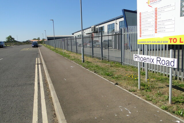
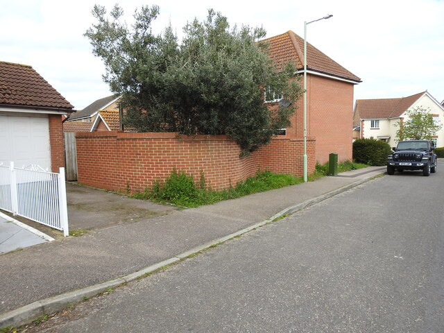
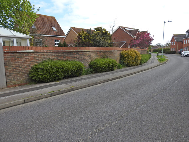
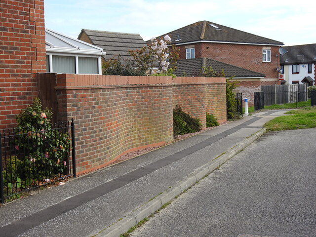
Carlton Colville Images
Images are sourced within 2km of 52.450103/1.696647 or Grid Reference TM5190. Thanks to Geograph Open Source API. All images are credited.


Carlton Colville is located at Grid Ref: TM5190 (Lat: 52.450103, Lng: 1.696647)
Administrative County: Suffolk
District: East Suffolk
Police Authority: Suffolk
What 3 Words
///rewriting.mailer.symphonic. Near Kessingland, Suffolk
Nearby Locations
Related Wikis

St Peter's Church, Carlton Colville
St. Peter's Church is the Anglican parish church in the village of Carlton Colville, near Lowestoft in Suffolk, England. It is a small church with 13th...

Carlton Colville
Carlton Colville is a civil parish and suburb of Lowestoft in the English county of Suffolk. It is 3 miles (5 km) south-west of the centre of the town...
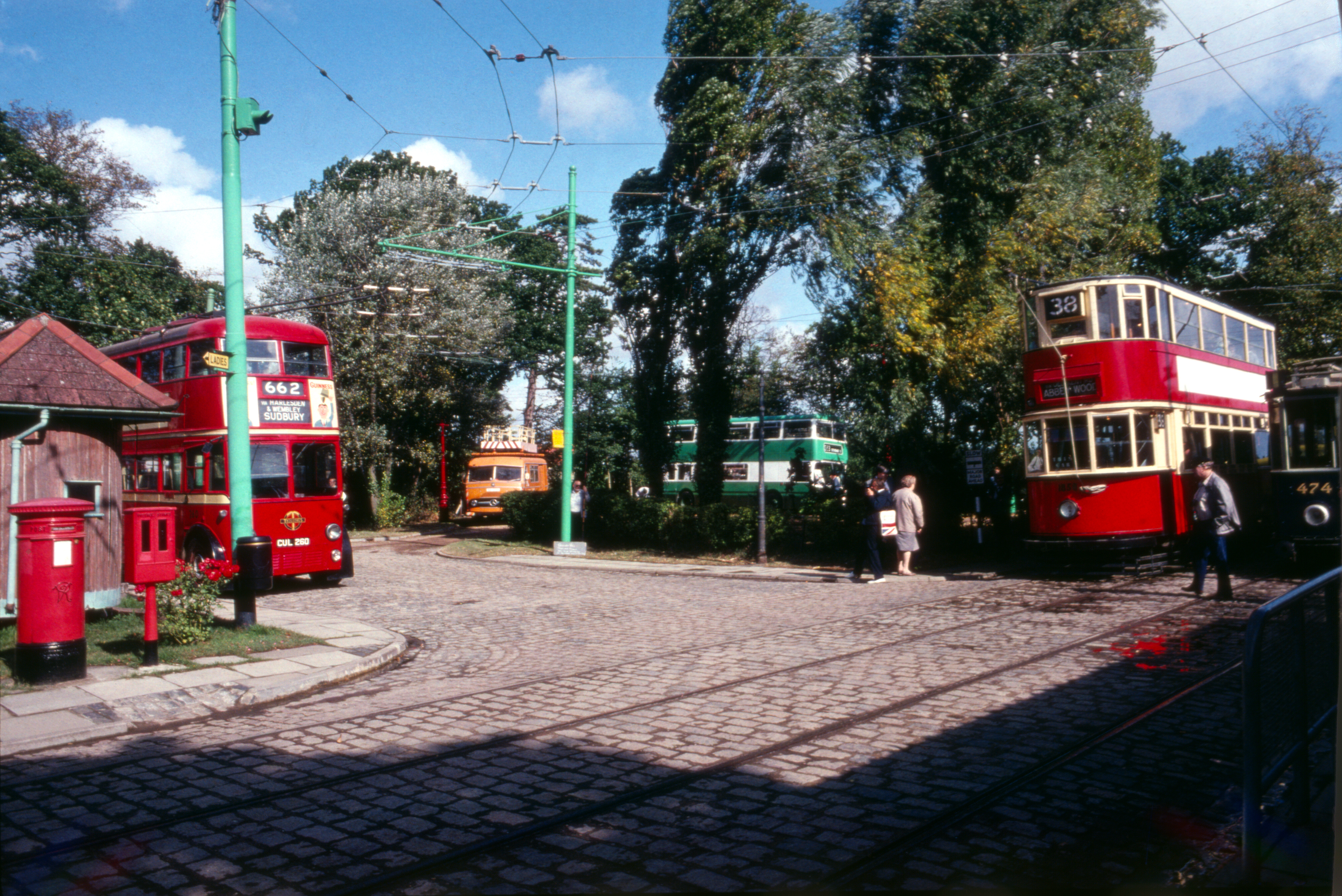
East Anglia Transport Museum
The East Anglia Transport Museum is an open-air transport museum, with numerous historic public transport vehicles (including many in full working order...

Lowestoft (UK Parliament constituency)
Lowestoft was a parliamentary constituency centred on the town of Lowestoft in Suffolk. It returned one Member of Parliament (MP) to the House of Commons...
Nearby Amenities
Located within 500m of 52.450103,1.696647Have you been to Carlton Colville?
Leave your review of Carlton Colville below (or comments, questions and feedback).