The Grove
Wood, Forest in Suffolk East Suffolk
England
The Grove
The Grove, Suffolk, also known as the Wood or Forest, is a scenic and expansive natural area located in the county of Suffolk, England. Spanning approximately X square kilometers, it is renowned for its lush woodlands, diverse wildlife, and tranquil atmosphere.
The Grove is characterized by its dense tree coverage, predominantly consisting of native species such as oak, beech, and ash. These towering trees create a shaded and serene environment, making it a popular destination for nature lovers and hikers seeking a peaceful retreat. The forest floor is carpeted with a rich variety of flora, including bluebells, wild garlic, and ferns, adding to its enchanting appeal.
This natural haven is home to a diverse range of wildlife. Visitors may spot various species of birds, including woodpeckers, owls, and jays, as well as mammals such as deer, foxes, and badgers. The Grove also houses a multitude of insects, reptiles, and amphibians, fostering a thriving ecosystem.
The Grove offers a range of recreational activities for visitors. There are well-maintained trails and paths, allowing for scenic walks, jogging, or cycling amidst the picturesque surroundings. The forest also features designated picnic areas and camping spots, providing opportunities for outdoor dining and overnight stays.
Due to its proximity to nearby villages and towns, The Grove is easily accessible for both locals and tourists. Its natural beauty, ecological significance, and recreational opportunities make it a cherished destination for those seeking a peaceful and immersive experience in the heart of Suffolk's countryside.
If you have any feedback on the listing, please let us know in the comments section below.
The Grove Images
Images are sourced within 2km of 52.45652/1.6974292 or Grid Reference TM5190. Thanks to Geograph Open Source API. All images are credited.


The Grove is located at Grid Ref: TM5190 (Lat: 52.45652, Lng: 1.6974292)
Administrative County: Suffolk
District: East Suffolk
Police Authority: Suffolk
What 3 Words
///awakening.converged.overtones. Near Lowestoft, Suffolk
Nearby Locations
Related Wikis

Carlton Colville
Carlton Colville is a civil parish and suburb of Lowestoft in the English county of Suffolk. It is 3 miles (5 km) south-west of the centre of the town...

St Peter's Church, Carlton Colville
St. Peter's Church is the Anglican parish church in the village of Carlton Colville, near Lowestoft in Suffolk, England. It is a small church with 13th...
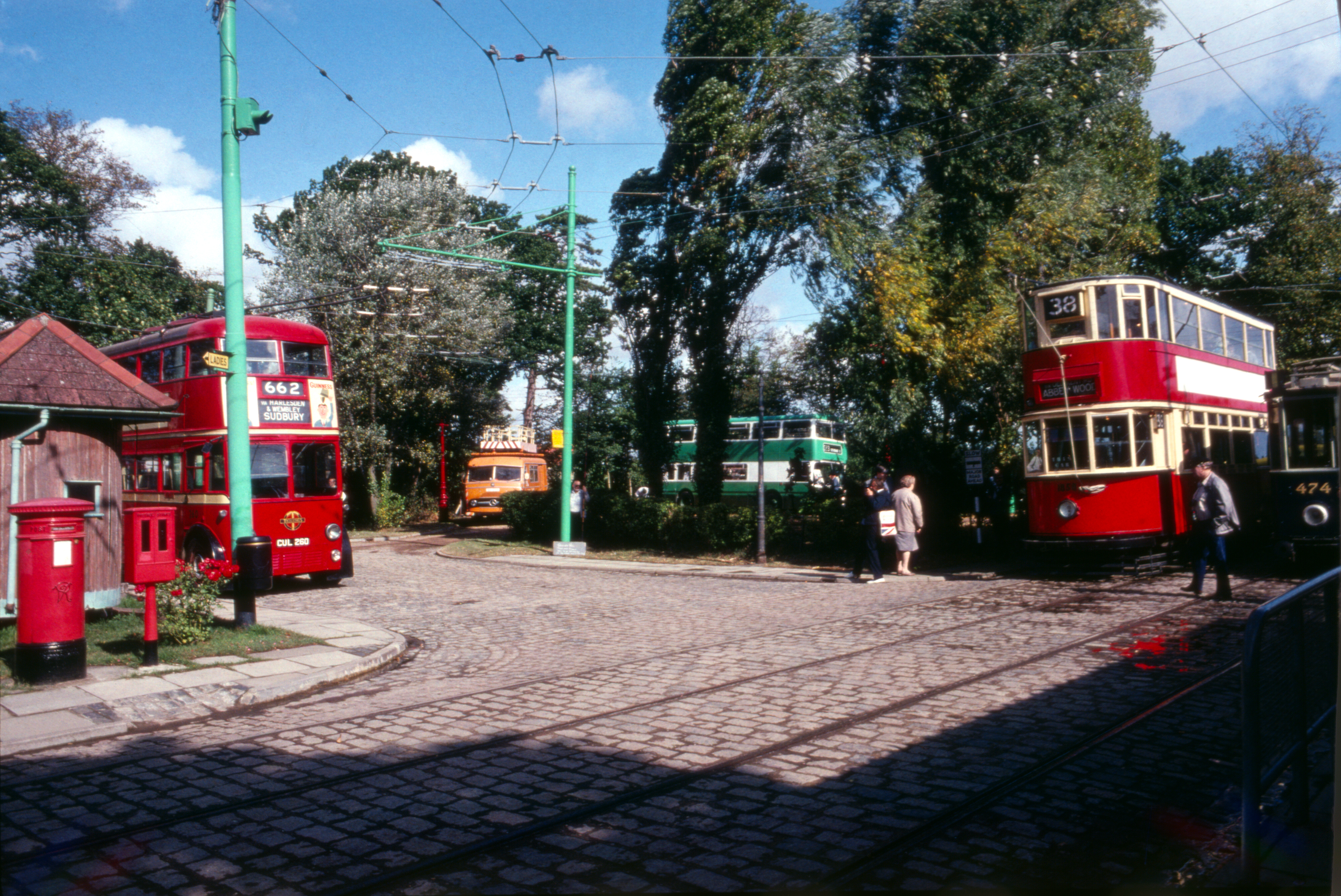
East Anglia Transport Museum
The East Anglia Transport Museum is an open-air transport museum, with numerous historic public transport vehicles (including many in full working order...

Lowestoft (UK Parliament constituency)
Lowestoft was a parliamentary constituency centred on the town of Lowestoft in Suffolk. It returned one Member of Parliament (MP) to the House of Commons...
Nearby Amenities
Located within 500m of 52.45652,1.6974292Have you been to The Grove?
Leave your review of The Grove below (or comments, questions and feedback).