Approach Wood

Wood, Forest in Perthshire

Scotland

Approach Wood

Old fingerpost Near Doune on the south side of the River Teith is this pre Worboys fingerpost still standing by the wall opposite the B826.   It is sadly lacking its 3 fingers.   The lane leads down to the river.
Old fingerpost Credit: John Riddell

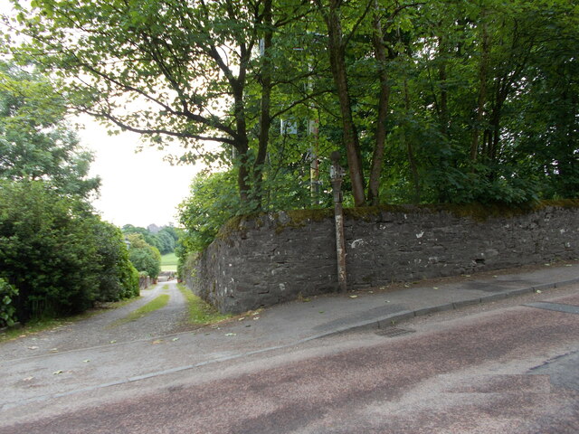
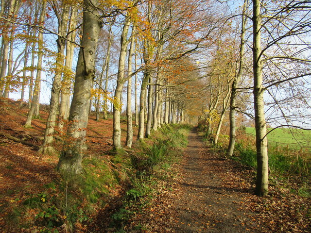
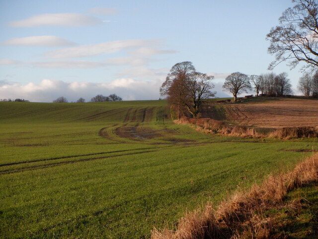
Approach Wood is a picturesque forest located in the region of Perthshire, Scotland. Covering an extensive area of approximately 500 acres, it is known for its natural beauty and diverse wildlife. The wood is situated in close proximity to the town of Blairgowrie, making it easily accessible for visitors.

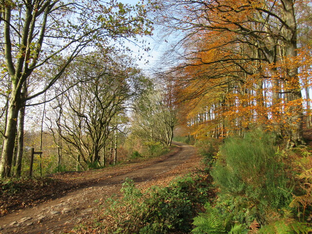
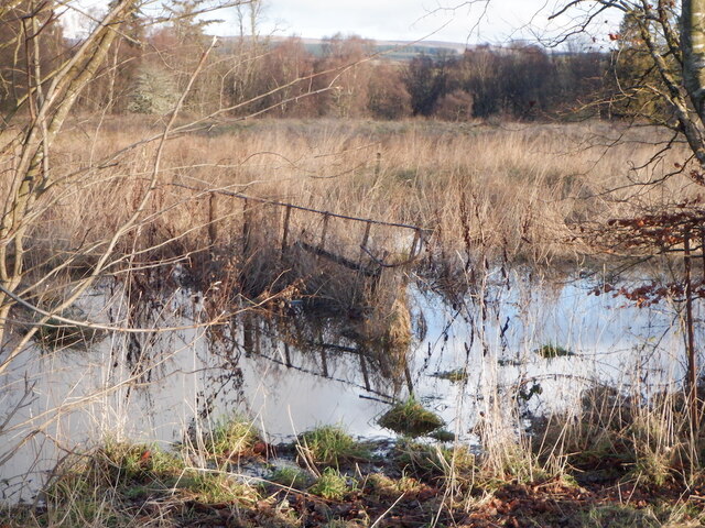
The wood is characterized by a variety of tree species, including oak, birch, and pine, which create a dense and lush canopy. This flourishing habitat provides a sanctuary for numerous bird species such as woodpeckers, owls, and various songbirds. Nature enthusiasts can also spot red squirrels, foxes, and deer roaming freely within the wood.

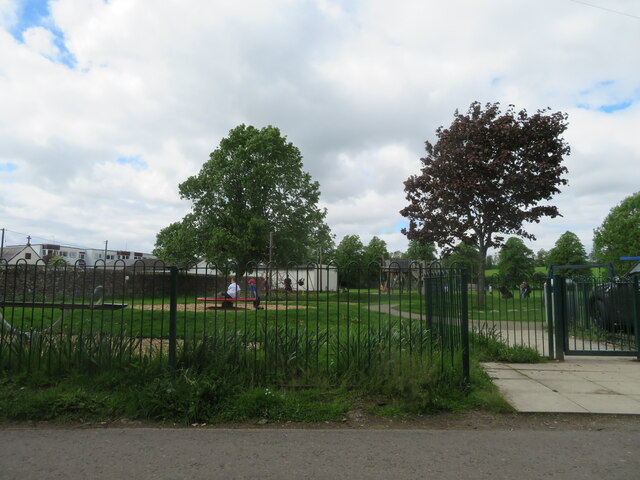
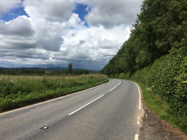
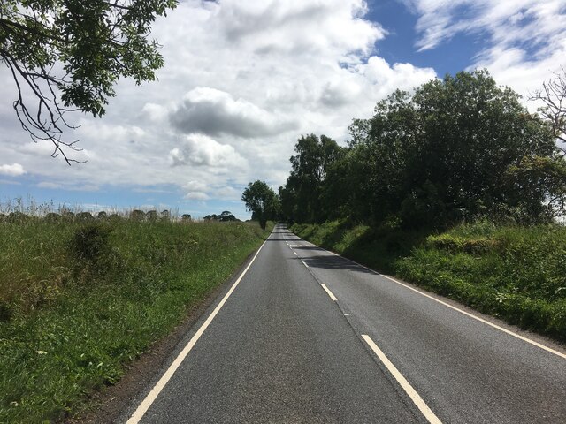
Approach Wood offers a range of well-maintained trails, allowing visitors to explore and immerse themselves in the tranquil surroundings. These paths cater to different levels of difficulty, making it suitable for both leisurely walks and more challenging hikes. Along the way, visitors can enjoy breathtaking views of the surrounding countryside and distant mountains.

The wood is also home to several picnic areas, providing a perfect spot for families and friends to relax and enjoy a picnic amidst the natural serenity. Additionally, there are designated camping sites for those who wish to stay overnight and fully experience the wood's enchanting atmosphere.

Whether it is for leisurely walks, wildlife observation, or simply a peaceful retreat into nature, Approach Wood offers a delightful experience for all who visit. Its idyllic setting and abundant biodiversity make it a must-visit destination for nature lovers and outdoor enthusiasts alike.

If you have any feedback on the listing, please let us know in the comments section below.

Approach Wood Images

Images are sourced within 2km of 56.17712/-4.0548562 or Grid Reference NN7200. Thanks to Geograph Open Source API. All images are credited.

Old fingerpost Near Doune on the south side of the River Teith is this pre Worboys fingerpost still standing by the wall opposite the B826.   It is sadly lacking its 3 fingers.   The lane leads down to the river.
Old fingerpost
Near Doune on the south side of the River Teith is this pre Worboys fingerpost still standing by the wall opposite the B826. It is sadly lacking its 3 fingers. The lane leads down to the river.
Old fingerpost This is a close up of the top of the old signpost on the A84 just south of the River Teith at Doune.  The shape of the post top, the size of the ball finial and the way the fingers were attached shows this post was made at the Grangemouth Iron Works.  At a later date another finger, also now lost, had been added lower down the post.

Milestone Society National ID: STL_NN7201
Old fingerpost
This is a close up of the top of the old signpost on the A84 just south of the River Teith at Doune. The shape of the post top, the size of the ball finial and the way the fingers were attached shows this post was made at the Grangemouth Iron Works. At a later date another finger, also now lost, had been added lower down the post. Milestone Society National ID: STL_NN7201
Former tollhouse On the A84 south of Doune at the B826 junction is this former tollhouse known as Loch-Hills Wood which may date from about 1825.  On the OS 1st Edition it is noted that there is a 'weighing machine'.  In 2009 it was lived in and well-cared for.   By 2021 it was empty and deteriorating.   However it is to be renovated, hopefully, in 2022.   It is B Listed LB8412 and its Canmore reference is 363352.
Former tollhouse
On the A84 south of Doune at the B826 junction is this former tollhouse known as Loch-Hills Wood which may date from about 1825. On the OS 1st Edition it is noted that there is a 'weighing machine'. In 2009 it was lived in and well-cared for. By 2021 it was empty and deteriorating. However it is to be renovated, hopefully, in 2022. It is B Listed LB8412 and its Canmore reference is 363352.
Play area at Doune A small park, with public conveniences, off King Street.
Play area at Doune
A small park, with public conveniences, off King Street.
B824 towards Doune
B824 towards Doune
B824 towards Bridge of Allan
Doune Castle The Royal Hunting Lodge, Doune Castle.
Doune Castle
The Royal Hunting Lodge, Doune Castle.
Track near Doune Ponds Nature Reserve This track leads eventually to the farms of Mansfield and Wester Lundie. Some modern housing developments in the town of Doune can be seen through the trees on the left.
Track near Doune Ponds Nature Reserve
This track leads eventually to the farms of Mansfield and Wester Lundie. Some modern housing developments in the town of Doune can be seen through the trees on the left.
Commonty walk, Doune This is a popular short walk near the small town of Doune, crossing the Commonty (once common grazing land). This track leads over to the road to Cornton.
Commonty walk, Doune
This is a popular short walk near the small town of Doune, crossing the Commonty (once common grazing land). This track leads over to the road to Cornton.
Main Street, Doune Home of Harvey Maps
Main Street, Doune
Home of Harvey Maps
The Highland Hotel, Doune
Gate, Doune Ponds Nature Reserve From the car park.
Gate, Doune Ponds Nature Reserve
From the car park.
Winter cereals, Deanston
Flooded ground, Manor Hall, Deanston The remaining policies of Manor Hall are not grazed and I suspect it will end up under houses.
Flooded ground, Manor Hall, Deanston
The remaining policies of Manor Hall are not grazed and I suspect it will end up under houses.
A84 towards Doune
A84 towards Doune
Road junction on the A84 in Doune
B8032 near Deanston
B8032 near Deanston
B826 at Causewayend
B826 at Causewayend
Show me another place!

Approach Wood is located at Grid Ref: NN7200 (Lat: 56.17712, Lng: -4.0548562)

Unitary Authority: Stirling

Police Authority: Forth Valley

What 3 Words

///elect.drones.senses. Near Doune, Stirling

Related Wikis

Menteith

Menteith or Monteith (Scottish Gaelic: Mòine Tèadhaich), a district of south Perthshire, Scotland, roughly comprises the territory between the Teith and...

Ardoch Burn

The Ardoch Burn is a stream in Stirling council area, Scotland, which flows from the Braes Of Doune into the River Teith at Inverardoch, just behind Doune...

Stirling torcs

The Stirling torcs make up a hoard of four gold Iron Age torcs, a type of necklace, all of which date to between 300 and 100 BC and which were buried deliberately...

Doune Castle

Doune Castle is a medieval stronghold near the village of Doune, in the Stirling council area of central Scotland and the historic county of Perthshire...

Nearby Amenities

Located within 500m of 56.17712,-4.0548562
Power: pole
Lat/Long: 56.1736157/-4.0506881
Power: pole
Lat/Long: 56.1737181/-4.0520645
Power: pole
Lat/Long: 56.1736529/-4.0529451
Power: pole
Lat/Long: 56.1735551/-4.0545808
Power: pole
Lat/Long: 56.1729147/-4.0537253
Power: pole
Lat/Long: 56.1741816/-4.0553987
Power: pole
Lat/Long: 56.1749559/-4.0564236
Power: pole
Lat/Long: 56.1755963/-4.057298
Power: pole
Lat/Long: 56.1762774/-4.0580301
Power: pole
Lat/Long: 56.176926/-4.058735
Power: pole
Lat/Long: 56.177557/-4.0594107
Power: pole
Lat/Long: 56.1781182/-4.0600947
Power: pole
Lat/Long: 56.1786829/-4.0607682
Power: pole
Lat/Long: 56.179222/-4.0614982
Power: pole
Lat/Long: 56.1736378/-4.0582958
Power: pole
Lat/Long: 56.1738951/-4.0568943
The data included in this document is from www.openstreetmap.org. The data is made available under ODbL.

Have you been to Approach Wood?

Leave your review of Approach Wood below (or comments, questions and feedback).