Valley of Coustry
Valley in Perthshire
Scotland
Valley of Coustry
The requested URL returned error: 429 Too Many Requests
If you have any feedback on the listing, please let us know in the comments section below.
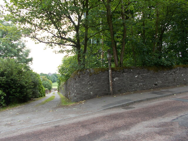
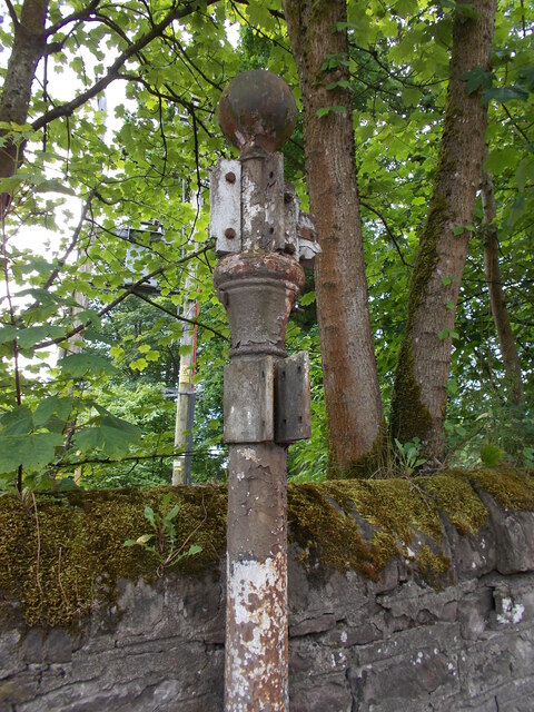
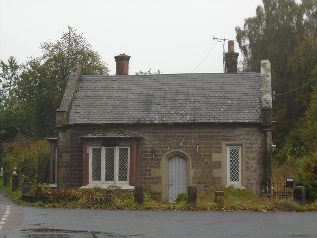
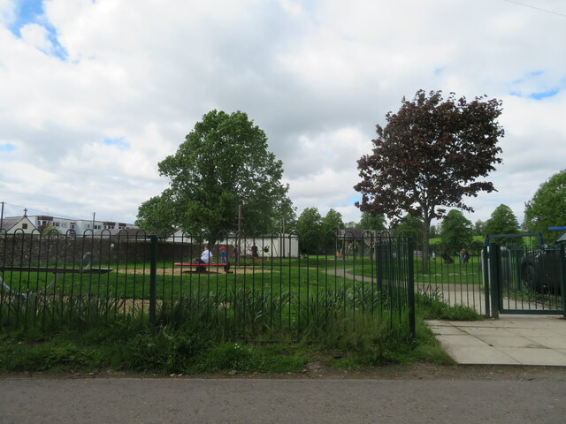
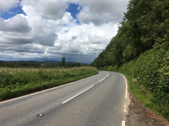
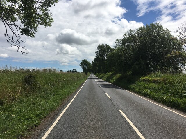
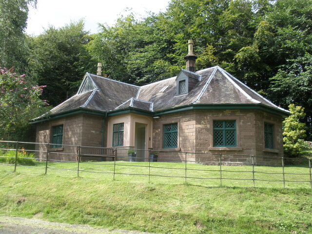
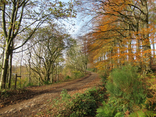
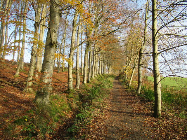
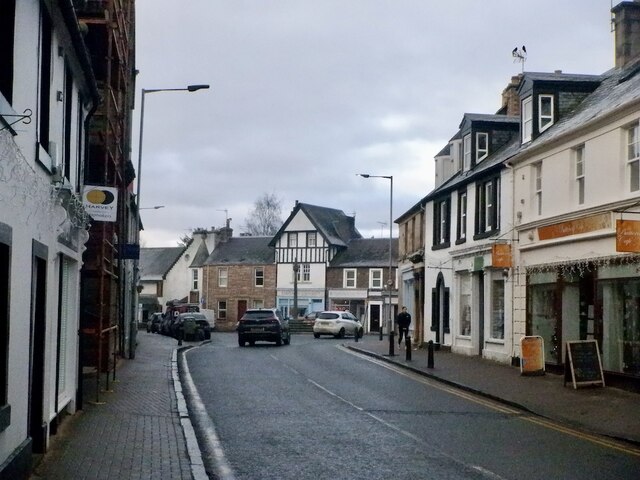
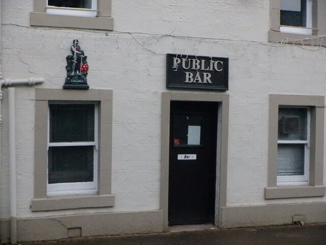
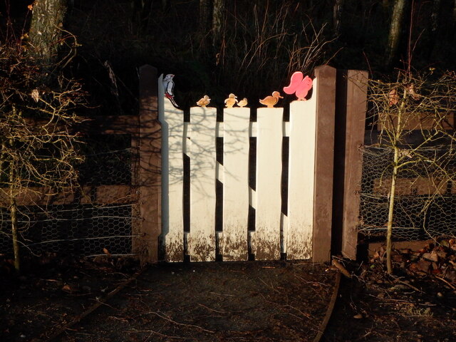
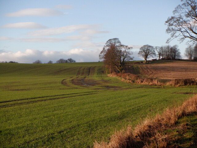
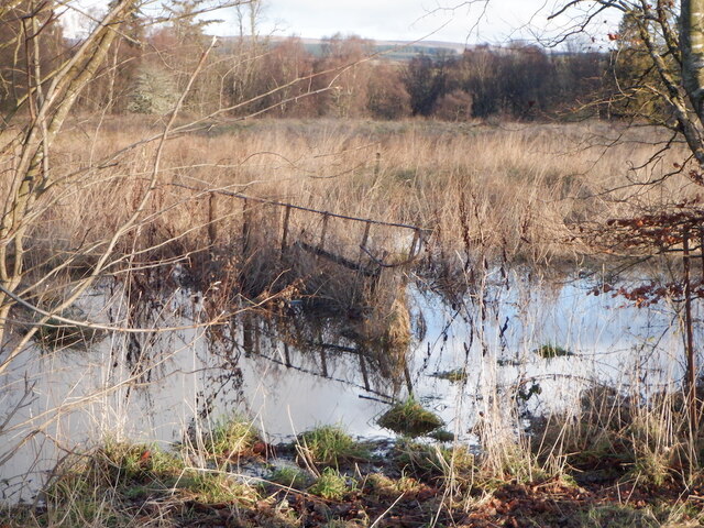
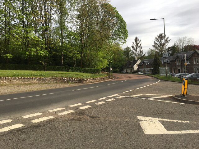
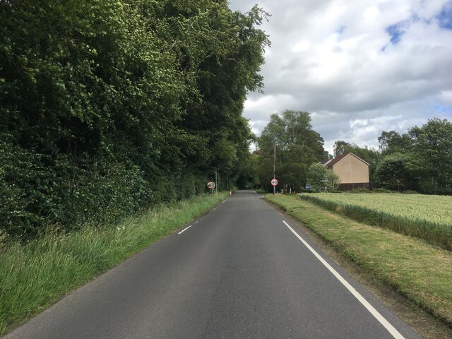
Valley of Coustry Images
Images are sourced within 2km of 56.177263/-4.0478394 or Grid Reference NN7200. Thanks to Geograph Open Source API. All images are credited.

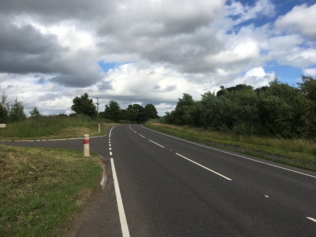
Valley of Coustry is located at Grid Ref: NN7200 (Lat: 56.177263, Lng: -4.0478394)
Unitary Authority: Stirling
Police Authority: Forth Valley
What 3 Words
///plantings.hers.melts. Near Doune, Stirling
Nearby Locations
Related Wikis

Ardoch Burn
The Ardoch Burn is a stream in Stirling council area, Scotland, which flows from the Braes Of Doune into the River Teith at Inverardoch, just behind Doune...

Menteith
Menteith or Monteith (Scottish Gaelic: Mòine Tèadhaich), a district of south Perthshire, Scotland, roughly comprises the territory between the Teith and...

Stirling torcs
The Stirling torcs make up a hoard of four gold Iron Age torcs, a type of necklace, all of which date to between 300 and 100 BC and which were buried deliberately...
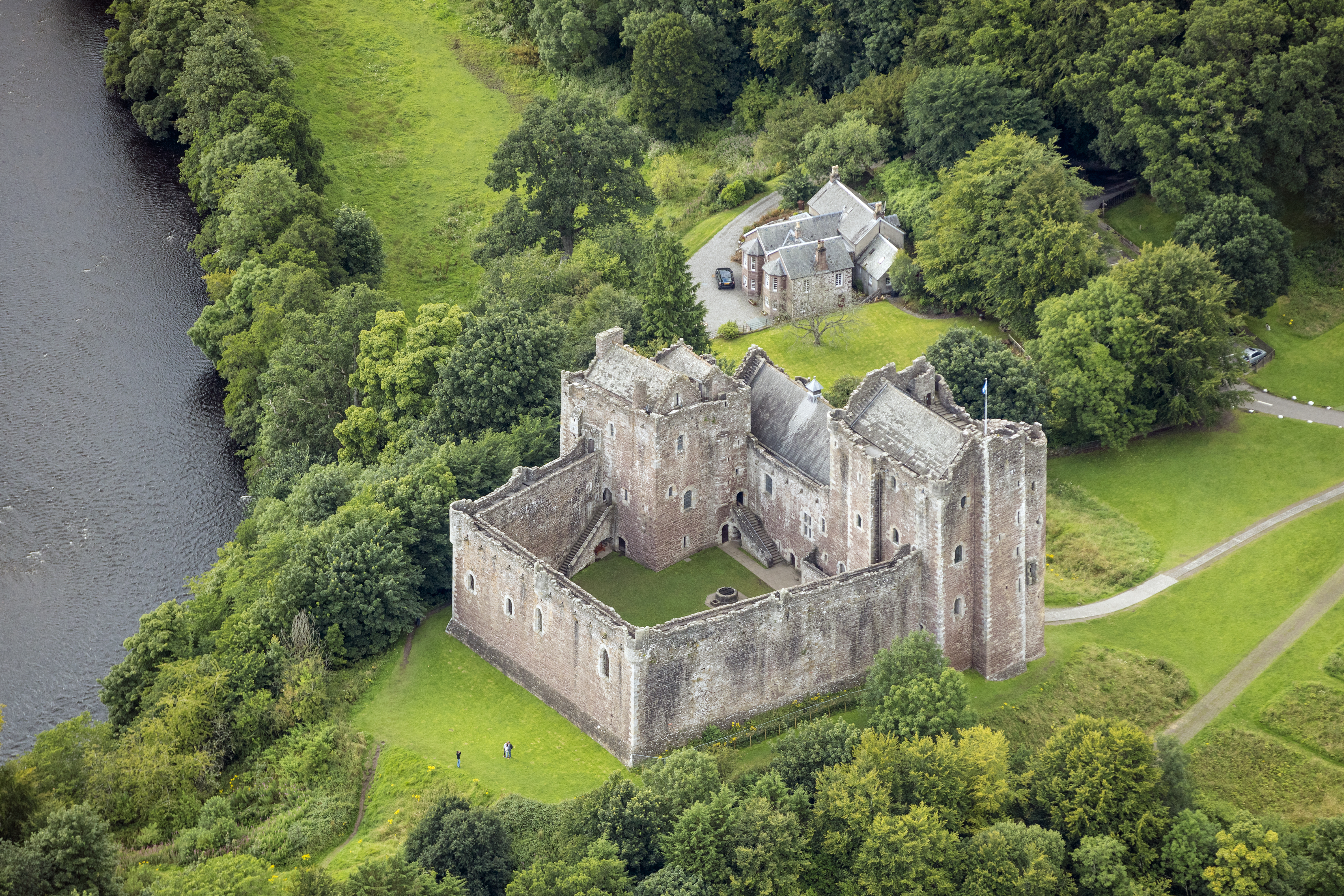
Doune Castle
Doune Castle is a medieval stronghold near the village of Doune, in the Stirling council area of central Scotland and the historic county of Perthshire...
Nearby Amenities
Located within 500m of 56.177263,-4.0478394Have you been to Valley of Coustry?
Leave your review of Valley of Coustry below (or comments, questions and feedback).