Carlton
Settlement in Cambridgeshire South Cambridgeshire
England
Carlton

Carlton is a small village located in the district of Cambridgeshire, England. Situated approximately 6 miles north of the historic city of Cambridge, it falls within the administrative boundaries of South Cambridgeshire. With a population of around 800 residents, Carlton maintains a close-knit community atmosphere.
The village is surrounded by picturesque countryside, offering residents and visitors stunning views and ample opportunities for outdoor activities. The River Cam runs nearby, providing a scenic backdrop and adding to the charm of the area.
Despite its small size, Carlton boasts a range of amenities for its residents. These include a village hall, a primary school, and a local pub which serves as a popular social hub. The village hall hosts various community events, such as fairs, meetings, and gatherings, fostering a sense of unity among residents.
Carlton's location close to Cambridge provides residents with easy access to a wider range of services, including shops, supermarkets, and healthcare facilities. Additionally, the village benefits from excellent transport links, with regular bus services connecting it to Cambridge and surrounding towns and villages.
Historically, Carlton has roots dating back to the medieval period, and evidence of its rich past can still be seen in some of the village's architecture. Many of the buildings in Carlton are constructed from traditional local materials, contributing to its distinctive character and charm.
Overall, Carlton offers a peaceful and friendly environment for its residents, while still providing easy access to the amenities and cultural attractions of nearby Cambridge.
If you have any feedback on the listing, please let us know in the comments section below.
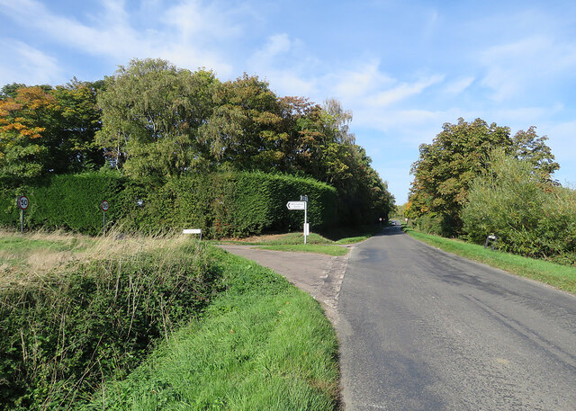
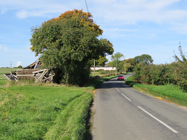
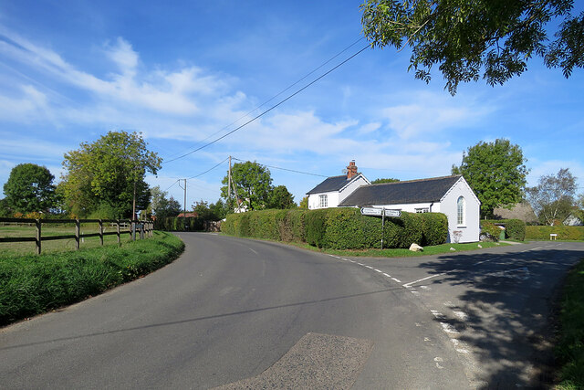
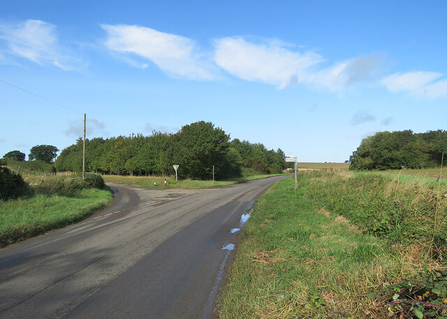
Carlton Images
Images are sourced within 2km of 52.151137/0.39835144 or Grid Reference TL6453. Thanks to Geograph Open Source API. All images are credited.


Carlton is located at Grid Ref: TL6453 (Lat: 52.151137, Lng: 0.39835144)
Administrative County: Cambridgeshire
District: South Cambridgeshire
Police Authority: Cambridgeshire
What 3 Words
///vivid.handover.bridge. Near Balsham, Cambridgeshire
Nearby Locations
Related Wikis
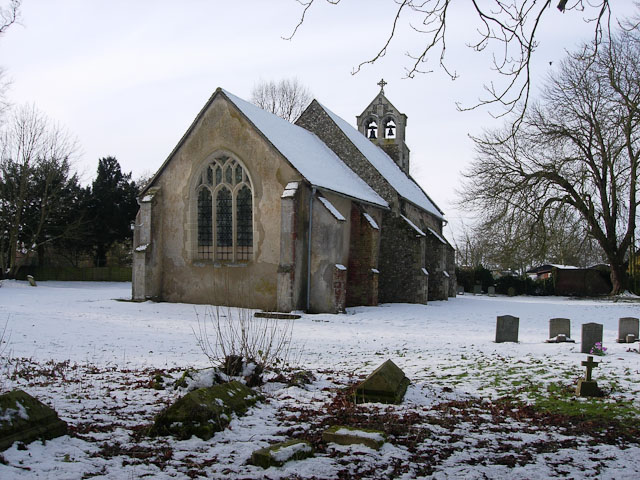
Carlton, Cambridgeshire
Carlton is a village and civil parish near the eastern boundary of the county of Cambridgeshire in the east of England. It is in the district of South...
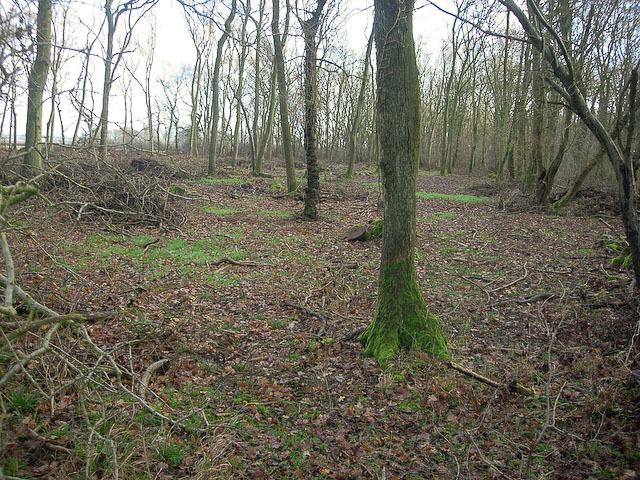
Carlton Wood
Carlton Wood is a 10.4-hectare (26-acre) biological Site of Special Scientific Interest on the eastern boundary of Cambridgeshire, and west of Great Bradley...

Park Wood, Cambridgeshire
Park Wood is an 8.1-hectare (20-acre) biological Site of Special Scientific Interest east of Brinkley in Cambridgeshire.This is woodland of the wet ash/maple...
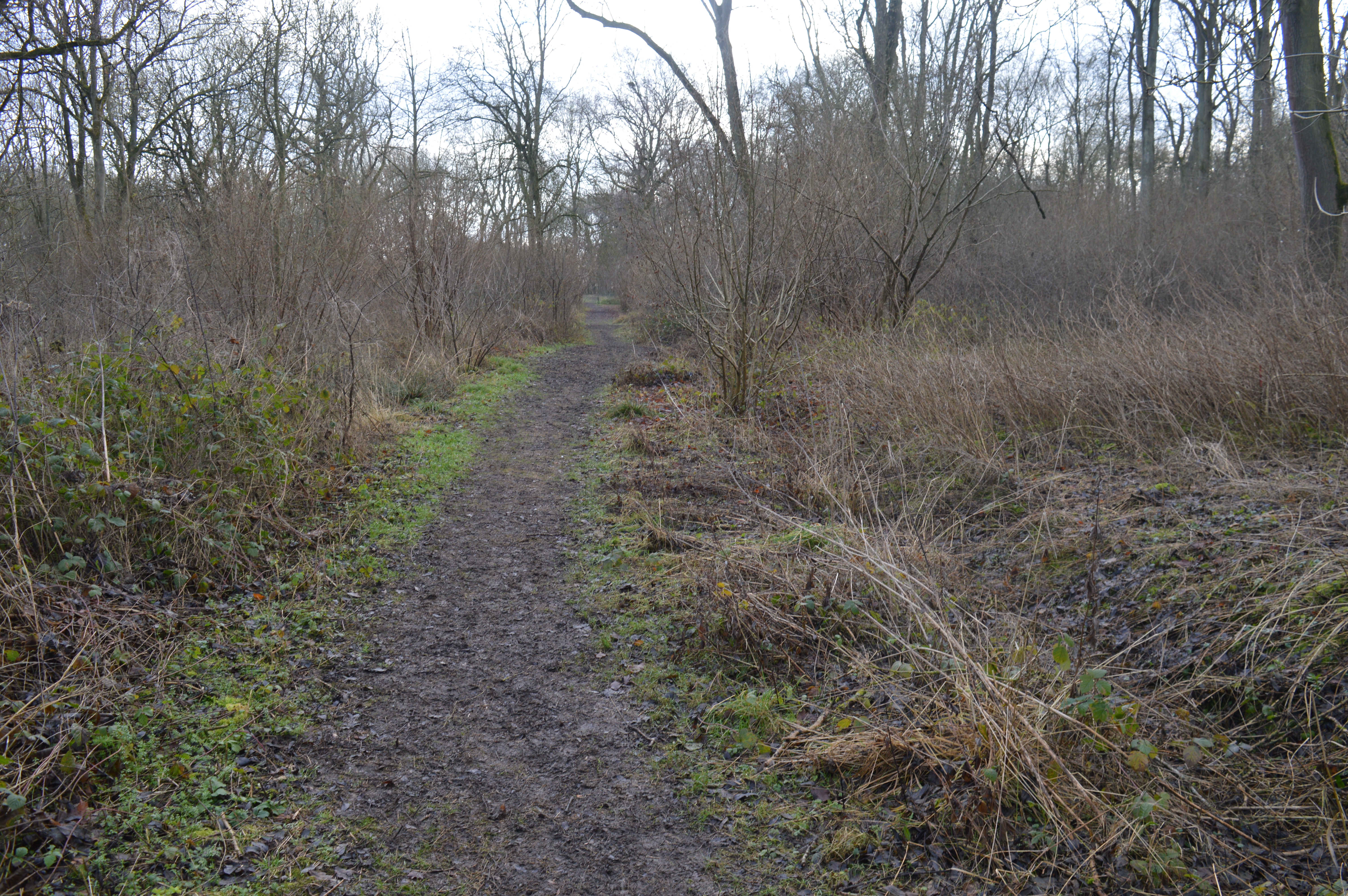
Lower Wood
Lower Wood is a 9 hectare nature reserve east of Weston Colville in Cambridgeshire. It is managed by the Wildlife Trust for Bedfordshire, Cambridgeshire...

Brinkley, Cambridgeshire
Brinkley is a small village in Cambridgeshire, England. It is situated about 15 miles east of Cambridge and 5 miles south of Newmarket, the horse racing...

Burrough Green
Burrough Green is a village and parish in Cambridgeshire, England. The population of the village at the 2011 census was 378. The soil is various; subsoil...
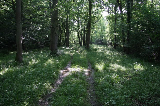
Out and Plunder Woods
Out and Plunder Woods is a 38.6-hectare (95-acre) biological Site of Special Scientific Interest between Great Bradley and Burrough Green in Cambridgeshire...

Great Bradley
Great Bradley is a village and civil parish in the West Suffolk district of Suffolk in eastern England. According to Eilert Ekwall the meaning of the village...
Nearby Amenities
Located within 500m of 52.151137,0.39835144Have you been to Carlton?
Leave your review of Carlton below (or comments, questions and feedback).