Dinnin Wood
Wood, Forest in Stirlingshire
Scotland
Dinnin Wood
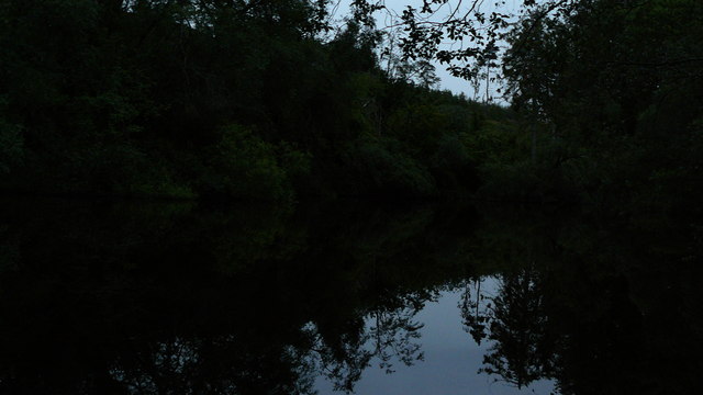
Dinnin Wood is a picturesque forest located in Stirlingshire, Scotland. Covering an area of approximately 50 hectares, the wood is nestled within the beautiful countryside, providing a tranquil and serene environment for visitors to explore.
The wood is predominantly composed of native broadleaf trees, including oak, birch, and beech, which create a diverse and vibrant ecosystem. The dense canopy of the trees offers shade and shelter, making it an ideal habitat for a variety of wildlife species. Bird enthusiasts can enjoy spotting species such as woodpeckers, owls, and various songbirds, while lucky visitors may even catch a glimpse of red squirrels and roe deer.
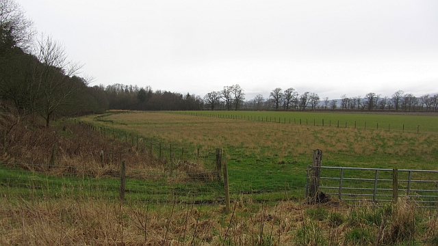
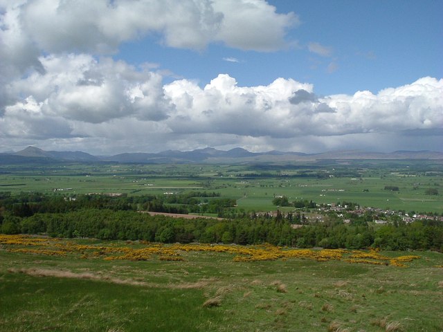
Dinnin Wood offers a network of well-maintained paths and trails, providing opportunities for walkers, hikers, and nature enthusiasts to immerse themselves in the natural beauty of the area. These paths wind through the forest and offer stunning views of the surrounding landscape, including nearby hills and valleys.
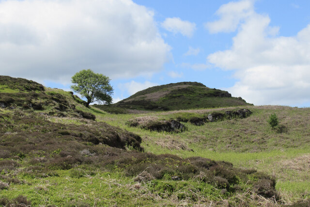
Nature lovers will appreciate the rich biodiversity found within the wood, with carpets of wildflowers, ferns, and mosses covering the forest floor. During springtime, the wood bursts into life with vibrant displays of bluebells and other wildflowers, creating a breathtaking spectacle.
The wood is managed by local authorities who ensure its preservation and protection. As such, visitors are encouraged to respect the natural environment and adhere to any signage and guidelines in place.
Overall, Dinnin Wood in Stirlingshire offers a delightful escape to nature, allowing visitors to reconnect with the great outdoors and appreciate the beauty of Scotland's woodlands.
If you have any feedback on the listing, please let us know in the comments section below.
Dinnin Wood Images
Images are sourced within 2km of 56.116774/-4.077439 or Grid Reference NS7093. Thanks to Geograph Open Source API. All images are credited.


Dinnin Wood is located at Grid Ref: NS7093 (Lat: 56.116774, Lng: -4.077439)
Unitary Authority: Stirling
Police Authority: Forth Valley
What 3 Words
///grapes.pegged.congested. Near Kippen, Stirling
Nearby Locations
Related Wikis

Stirling (UK Parliament constituency)
Stirling is a county constituency of the House of Commons of the Parliament of the United Kingdom. It elects one Member of Parliament (MP) by the first...
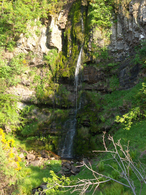
Downie's Loup
Downie's Loup is a waterfall of Scotland located near the village of Gargunnock. == See also == Waterfalls of Scotland == References ==
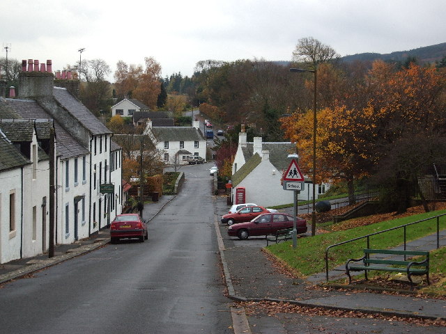
Gargunnock
Gargunnock is a small village in the Stirling council area with an active community trust, seven miles (eleven kilometres) west of Stirling, in Scotland...

Gargunnock railway station
Gargunnock railway station served the village of Gargunnock, Stirling, Scotland, from 1856 to 1959 on the Forth and Clyde Junction Railway. == History... ==

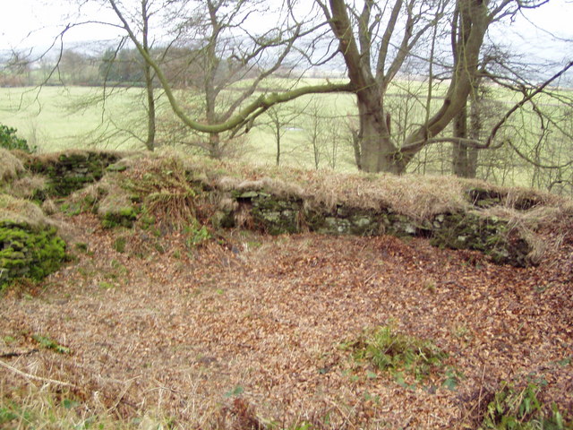
Leckie Broch
Leckie Broch is an iron-age broch located in Stirlingshire, Scotland. == Location == Just above the confluence of two streams with deep gulleys on the...

Gargunnock Hills
The Gargunnock Hills are a range of hills west of the city of Stirling, Scotland. They culminate in the peak of Carleatheran, whose 485-metre (1,591 ft...

Touch House
Touch House is a country house located 4 kilometres (2.5 mi) west of Stirling in central Scotland. It stands at the foot of the Touch Hills, on the south...
Coldoch Broch
Coldoch Broch is an Iron Age broch located in Stirlingshire in central Scotland (grid reference NS69649813). == Location == Coldoch Broch is located 4...
Nearby Amenities
Located within 500m of 56.116774,-4.077439Have you been to Dinnin Wood?
Leave your review of Dinnin Wood below (or comments, questions and feedback).