Blackhill Wood
Wood, Forest in Perthshire
Scotland
Blackhill Wood
Blackhill Wood is a remarkable forest located in the region of Perthshire, Scotland. Covering an area of approximately 100 hectares, this woodland is renowned for its stunning natural beauty and diverse range of flora and fauna.
The wood is predominantly composed of native tree species such as oak, birch, and pine, creating a rich and vibrant ecosystem. Tall and majestic trees dominate the landscape, providing ample shade and shelter for various animal species. The forest floor is adorned with a carpet of wildflowers and ferns, adding to its allure.
Blackhill Wood is a haven for wildlife enthusiasts and nature lovers alike. The forest is home to a wide variety of animals, including red squirrels, roe deer, and a plethora of bird species. Keen observers may also spot the occasional badger or fox in their natural habitat.
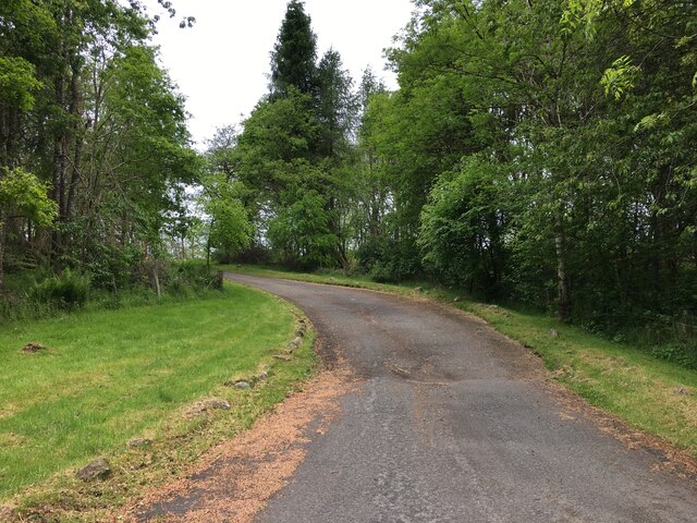
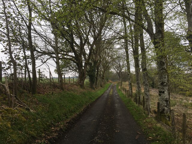
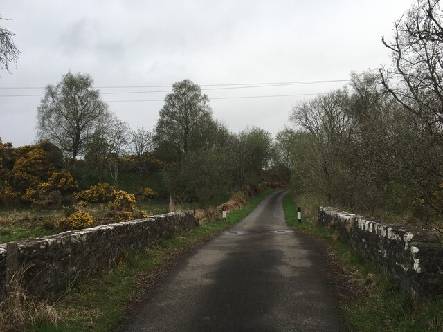
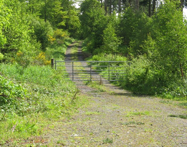
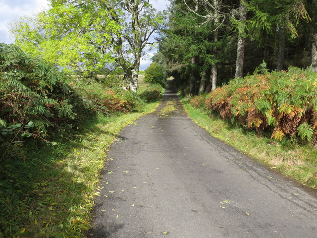
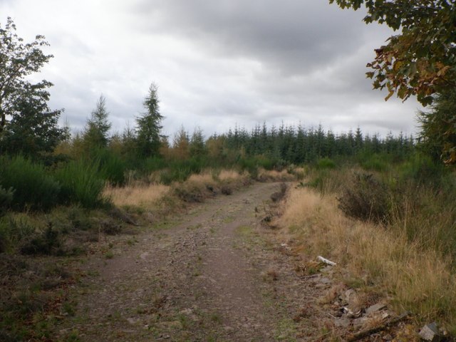
The wood offers an extensive network of walking trails and paths, enabling visitors to explore its enchanting surroundings. These paths are well-maintained and provide easy access to the forest's most scenic spots, including picturesque viewpoints and tranquil streams.
Blackhill Wood is not only a place of natural beauty but also an important site for conservation efforts. The forest is carefully managed to preserve its ecological balance and protect its delicate ecosystems.
Overall, Blackhill Wood is a captivating destination for those seeking solace in nature. Its breathtaking landscapes, abundant wildlife, and well-maintained trails make it a must-visit location for anyone wishing to experience the magnificence of Perthshire's woodlands.
If you have any feedback on the listing, please let us know in the comments section below.
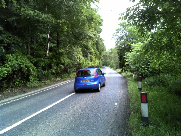
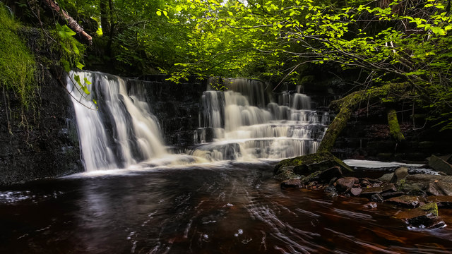
Blackhill Wood Images
Images are sourced within 2km of 56.212929/-4.0882667 or Grid Reference NN7004. Thanks to Geograph Open Source API. All images are credited.


Blackhill Wood is located at Grid Ref: NN7004 (Lat: 56.212929, Lng: -4.0882667)
Unitary Authority: Stirling
Police Authority: Forth Valley
What 3 Words
///dishing.drags.tacky. Near Doune, Stirling
Nearby Locations
Related Wikis

Doune Hillclimb
Doune Hillclimb, Carse of Cambus, near Doune in the district of Stirling, Scotland, is the home of the only round of the British Hill Climb Championship...
Kilmadock
Kilmadock parish (Scottish Gaelic Cille Mo Dog), named for Saint Cadoc, containing the settlements of Doune, Deanston, Buchany, Argaty, Hill of Row, Drumvaich...
Lanrick Castle
Lanrick Castle was a late 18th-century country house near Doune in central Scotland. It was demolished in 2002 despite being protected as a category B...
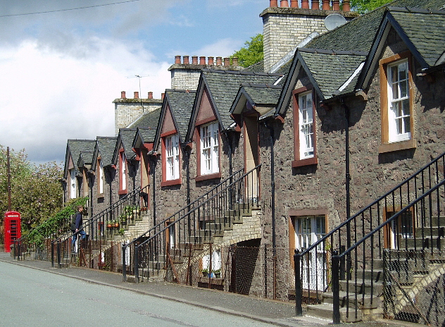
Deanston
Deanston (Scottish Gaelic: Baile an Deadhain) is a village in the Stirling council area, Scotland, on the south bank of the River Teith east of Doune,...
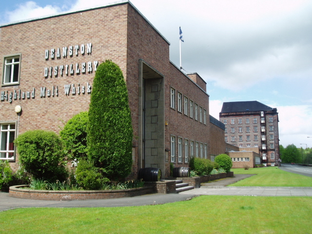
Deanston distillery
Deanston distillery is a Single Malt Scotch whisky distillery located on the banks of the River Teith, eight miles from the historic town of Stirling,...

Doune railway station
Doune was a railway station located in Doune, in the council area of Stirling, Scotland. The station was rebuilt in typical Caledonian Railway style in...

Argaty
Argaty is a farm estate located just over a mile northeast of Doune, Stirling, Scotland. The present Argaty House dates from the 19th century with baronial...
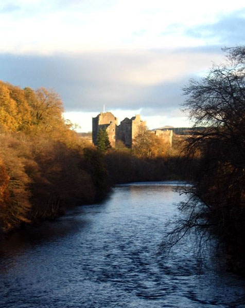
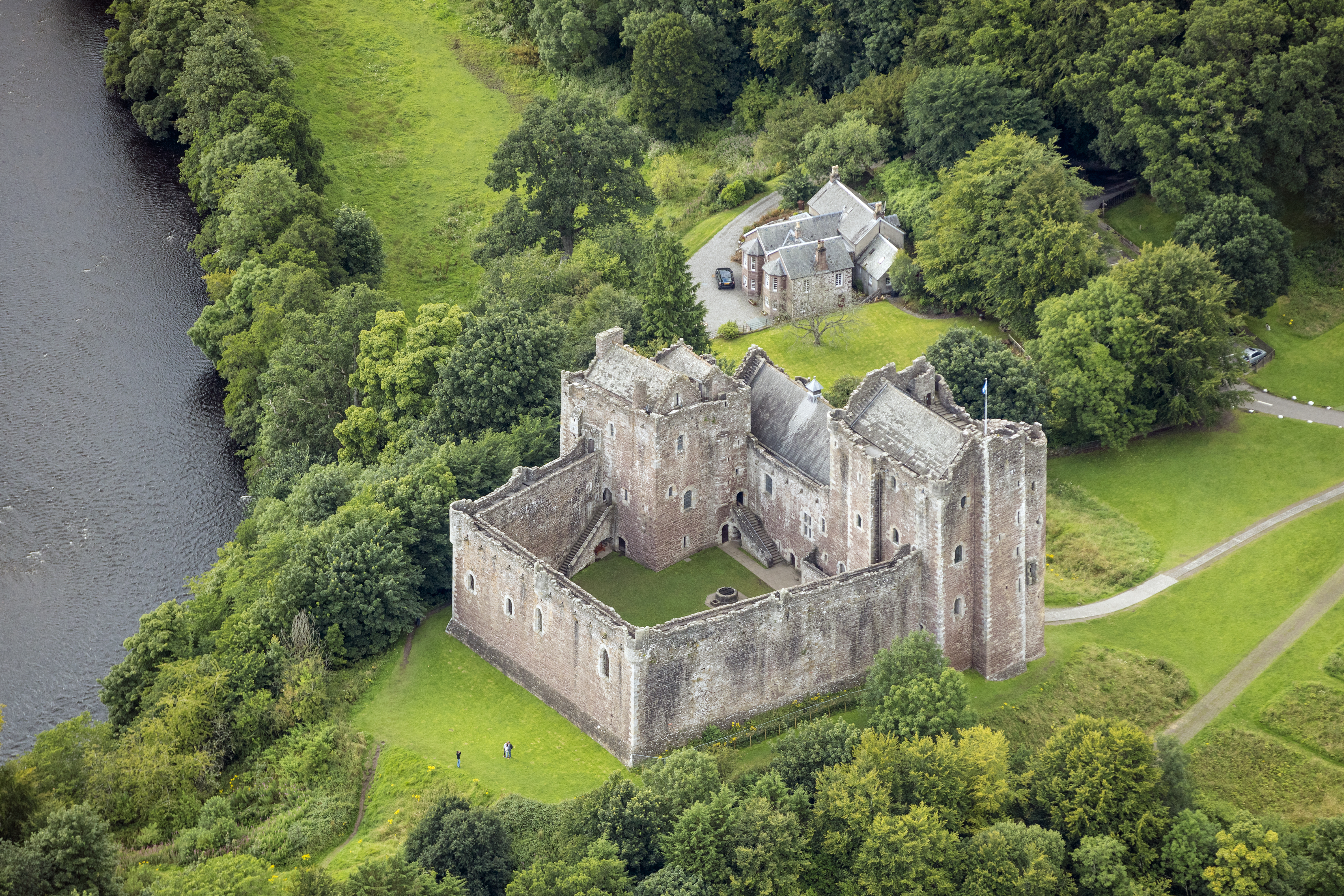
Doune
Doune (; from Scottish Gaelic: An Dùn, meaning 'the fort') is a burgh within Perthshire. The town is administered by Stirling Council. Doune is assigned...
Nearby Amenities
Located within 500m of 56.212929,-4.0882667Have you been to Blackhill Wood?
Leave your review of Blackhill Wood below (or comments, questions and feedback).