Braes of Doune
Downs, Moorland in Perthshire
Scotland
Braes of Doune
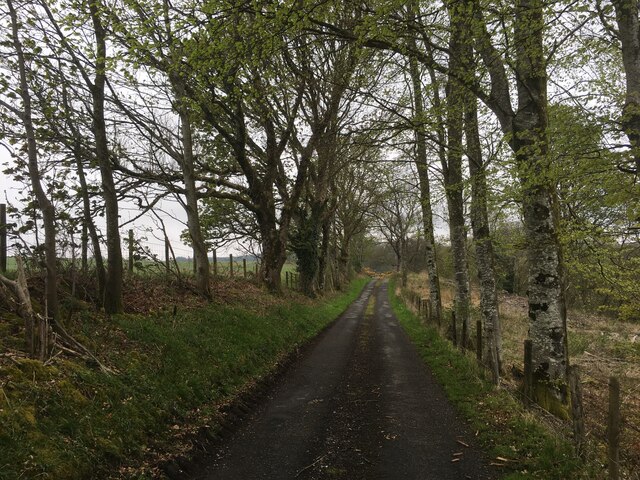
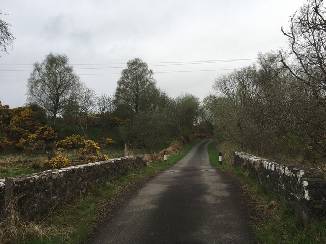
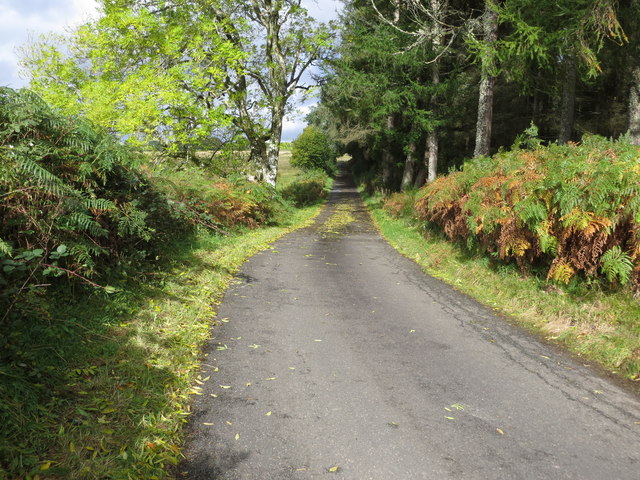
The Braes of Doune is a picturesque and rugged area located in Perthshire, Scotland. Situated on the southern edge of the Scottish Highlands, this region is known for its stunning downs and moorland landscapes.
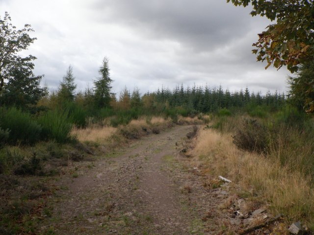
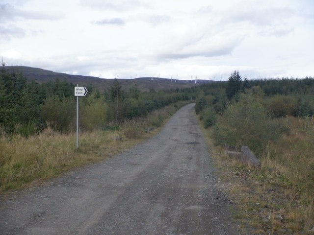
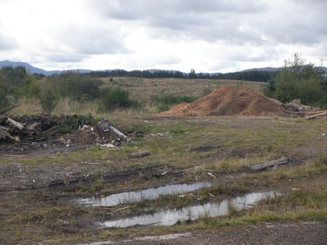
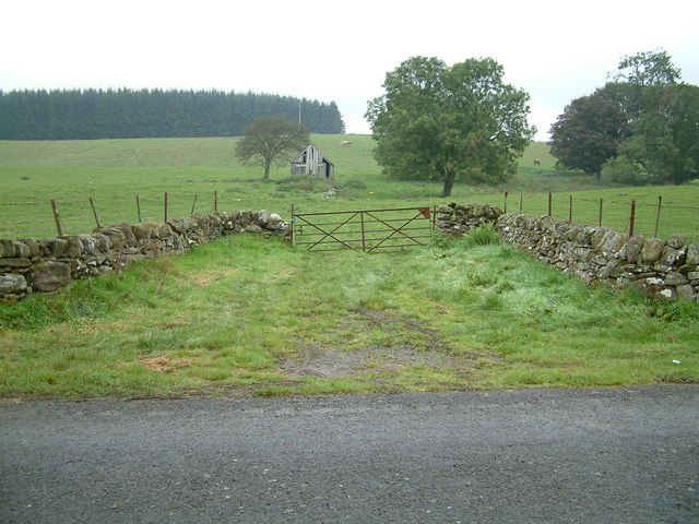
Covering an area of approximately 10 square miles, the Braes of Doune is characterized by its rolling hills, heather-covered moors, and deep glens. The terrain is hilly, with peaks reaching up to 500 meters above sea level. The area is sparsely populated, with scattered farms and small communities dotting the landscape.
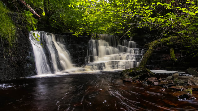
The Braes of Doune is renowned for its natural beauty and rich biodiversity. The moorland is home to a wide range of plant species, including heather, mosses, and lichens. These habitats support a variety of wildlife, including red deer, mountain hares, and a variety of bird species such as golden eagles and ptarmigans.
The area offers numerous outdoor activities for nature enthusiasts. Hiking and walking trails crisscross the landscape, providing stunning views of the surrounding countryside. The Braes of Doune also attracts birdwatchers, who flock to the area to observe the diverse avian species that inhabit the moorland.
In addition to its natural attractions, the Braes of Doune holds historical and cultural significance. Ruins of ancient settlements and standing stones can be found throughout the area, reflecting its long history of human habitation.
Overall, the Braes of Doune in Perthshire offers a unique and captivating experience for those seeking to explore the beauty of Scotland's downs and moorland.
If you have any feedback on the listing, please let us know in the comments section below.
Braes of Doune Images
Images are sourced within 2km of 56.219821/-4.0861255 or Grid Reference NN7004. Thanks to Geograph Open Source API. All images are credited.


Braes of Doune is located at Grid Ref: NN7004 (Lat: 56.219821, Lng: -4.0861255)
Unitary Authority: Stirling
Police Authority: Forth Valley
What 3 Words
///doctor.hires.conveys. Near Doune, Stirling
Nearby Locations
Related Wikis

Doune Hillclimb
Doune Hillclimb, Carse of Cambus, near Doune in the district of Stirling, Scotland, is the home of the only round of the British Hill Climb Championship...
Kilmadock
Kilmadock parish (Scottish Gaelic Cille Mo Dog), named for Saint Cadoc, containing the settlements of Doune, Deanston, Buchany, Argaty, Hill of Row, Drumvaich...
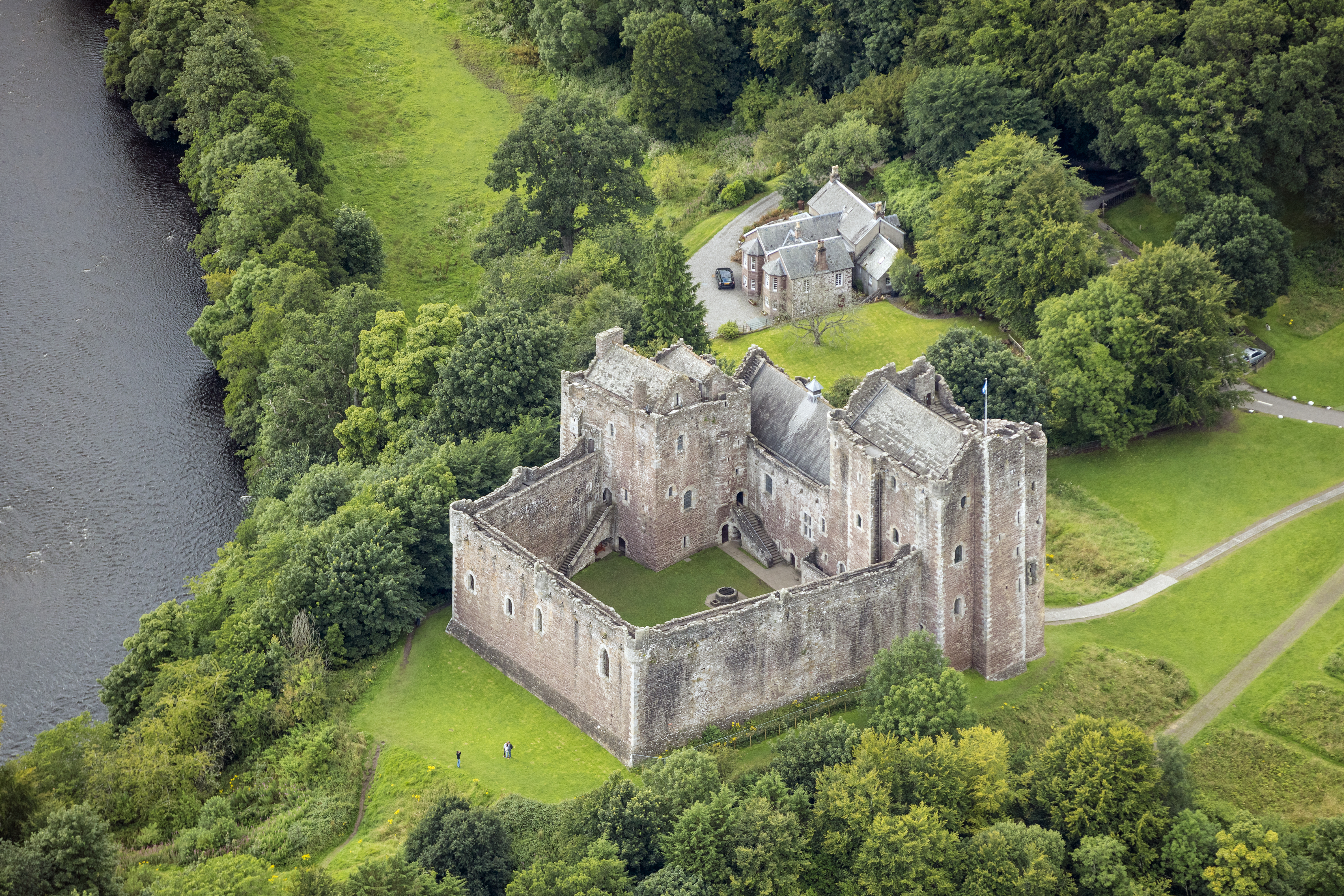
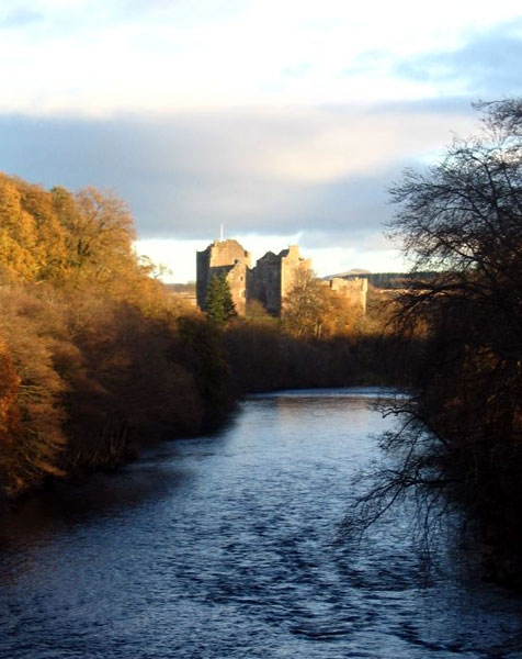
Lanrick Castle
Lanrick Castle was a late 18th-century country house near Doune in central Scotland. It was demolished in 2002 despite being protected as a category B...
Deanston
Deanston (Scottish Gaelic: Baile an Deadhain) is a village in the Stirling council area, Scotland, on the south bank of the River Teith east of Doune,...

Argaty
Argaty is a farm estate located just over a mile northeast of Doune, Stirling, Scotland. The present Argaty House dates from the 19th century with baronial...
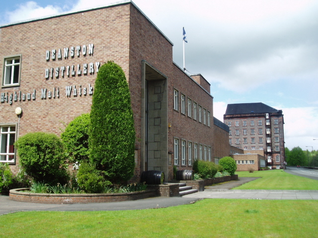
Deanston distillery
Deanston distillery is a Single Malt Scotch whisky distillery located on the banks of the River Teith, eight miles from the historic town of Stirling,...

Doune railway station
Doune was a railway station located in Doune, in the council area of Stirling, Scotland. The station was rebuilt in typical Caledonian Railway style in...
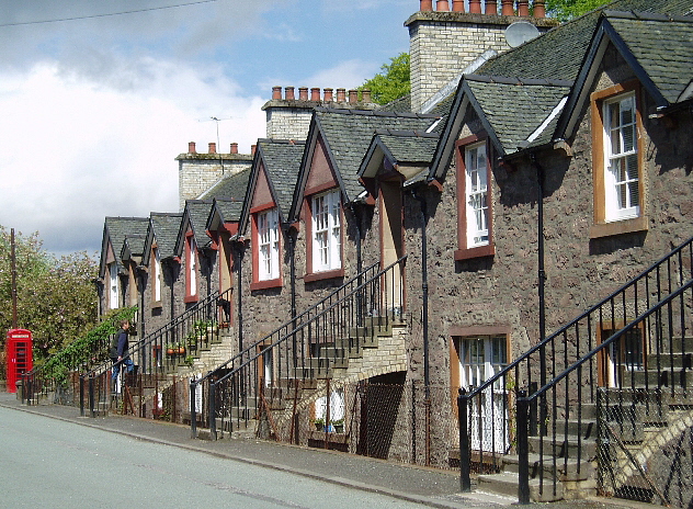
Doune
Doune (; from Scottish Gaelic: An Dùn, meaning 'the fort') is a burgh within Perthshire. The town is administered by Stirling Council. Doune is assigned...
Related Videos
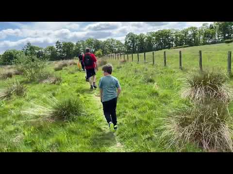
Country walks
Beautiful countryside in the Trossachs.


Deanston
Walk home from Doune towards Deanston.
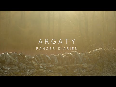
ARGATY - RANGER DIARIES
Filmed over the course of a year. We follow some of the work being carried out at "Argaty Red Kites", to make sure the estate has a ...
Have you been to Braes of Doune?
Leave your review of Braes of Doune below (or comments, questions and feedback).