Mid Boreland Plantation
Wood, Forest in Kirkcudbrightshire
Scotland
Mid Boreland Plantation
The requested URL returned error: 429 Too Many Requests
If you have any feedback on the listing, please let us know in the comments section below.
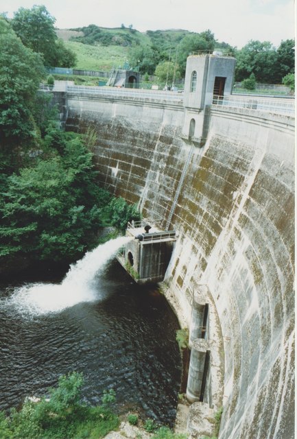
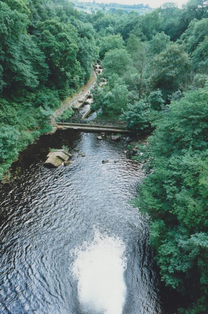
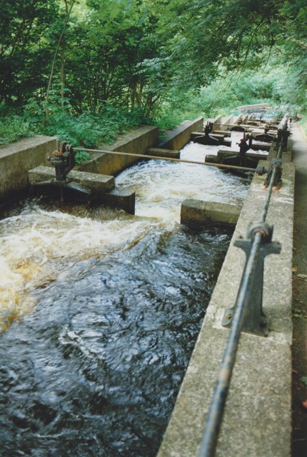
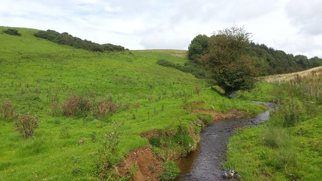
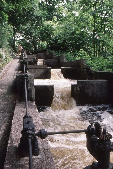
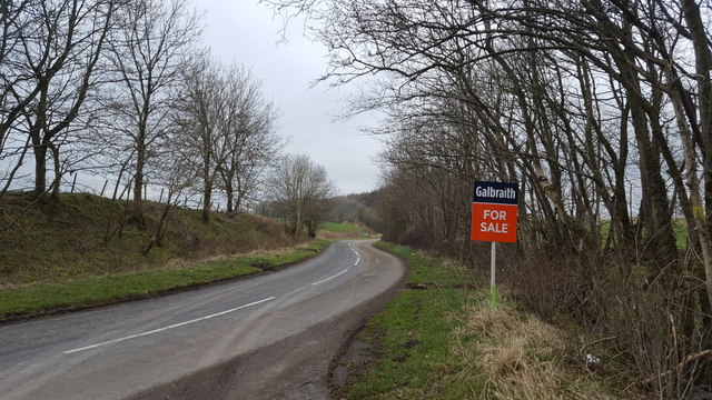
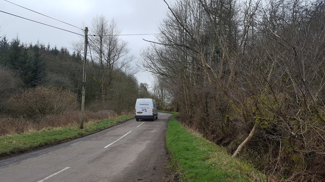
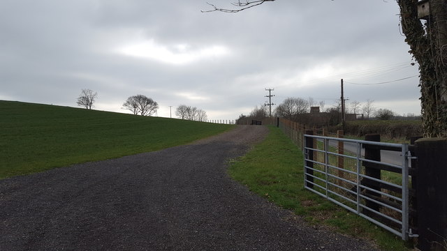
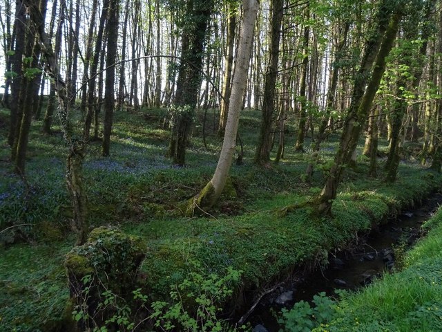
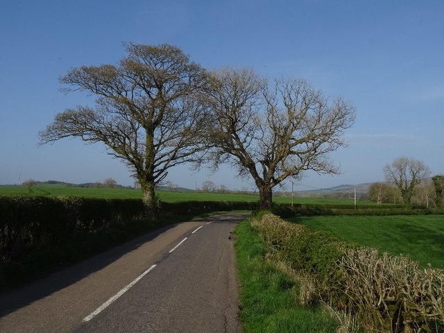
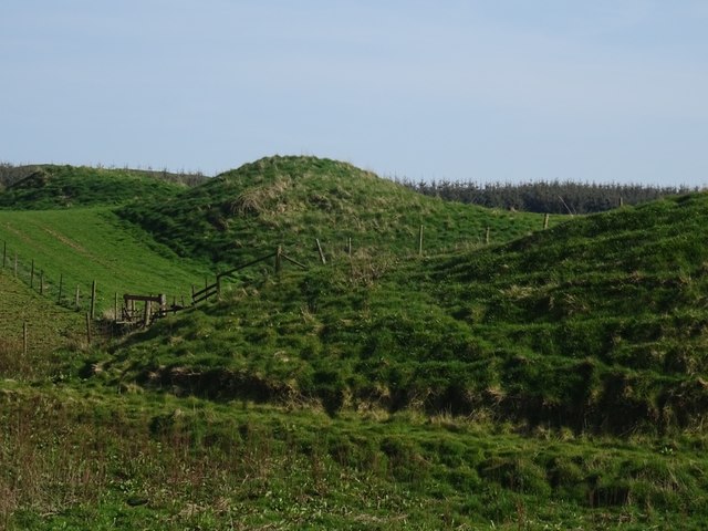
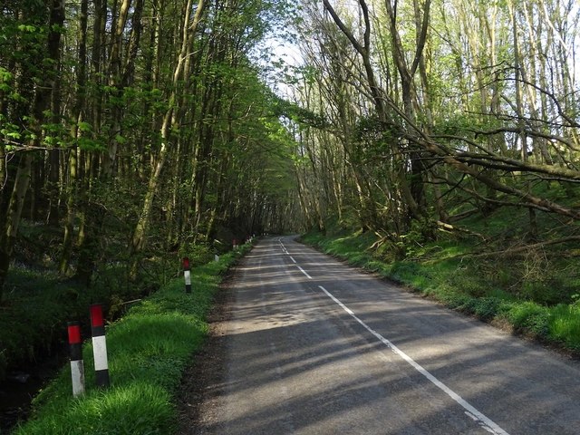
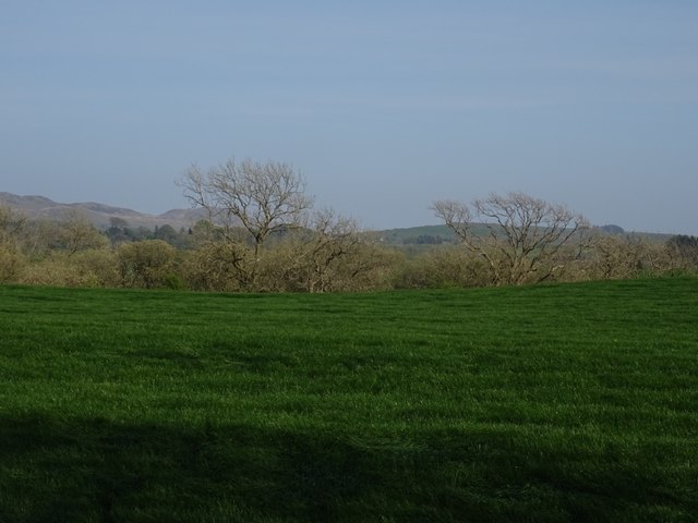
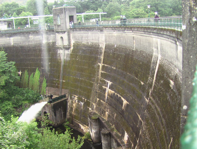
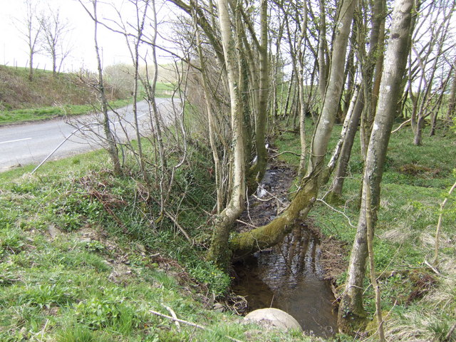
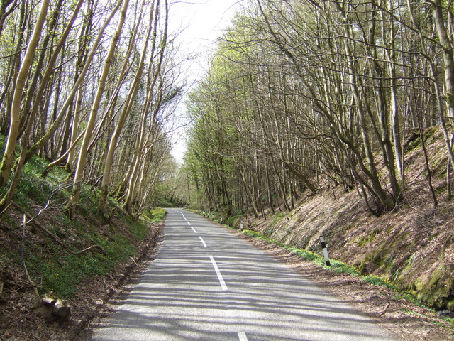
Mid Boreland Plantation Images
Images are sourced within 2km of 54.85101/-4.030303 or Grid Reference NX6952. Thanks to Geograph Open Source API. All images are credited.


Mid Boreland Plantation is located at Grid Ref: NX6952 (Lat: 54.85101, Lng: -4.030303)
Unitary Authority: Dumfries and Galloway
Police Authority: Dumfries and Galloway
What 3 Words
///squeaking.robe.shields. Near Kirkcudbright, Dumfries & Galloway
Nearby Locations
Related Wikis

Tongland
Tongland is a small village about 2 miles (3 km) north of Kirkcudbright, in the historic county of Kirkcudbrightshire in Dumfries and Galloway, Scotland...
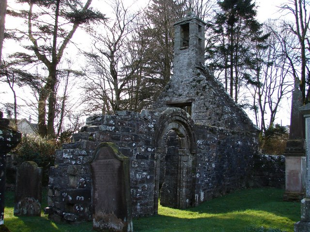
Tongland Abbey
Tungland or Tongland Abbey was a Premonstratensian monastic community located in Tongland in the historical county of Kirkcudbrightshire in Dumfries and...
Kirkcudbright Railway
The Kirkcudbright Railway was a railway branch line linking Kirkcudbright to the Castle Douglas and Dumfries Railway at Castle Douglas. It opened in 1864...
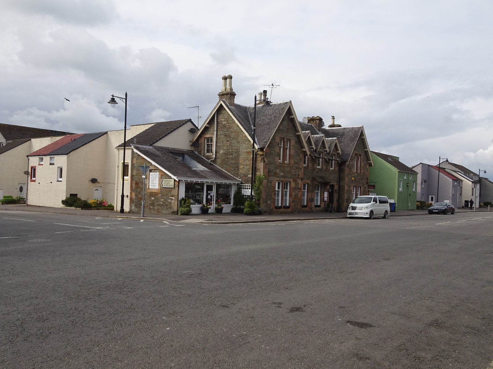
Kirkcudbright railway station
Kirkcudbright railway station served the town of Kirkcudbright, Dumfries and Galloway, Scotland from 1864 to 1965 on the Kirkcudbright Railway. == History... ==
Nearby Amenities
Located within 500m of 54.85101,-4.030303Have you been to Mid Boreland Plantation?
Leave your review of Mid Boreland Plantation below (or comments, questions and feedback).