Spout Plantation

Wood, Forest in Kirkcudbrightshire

Scotland

Spout Plantation
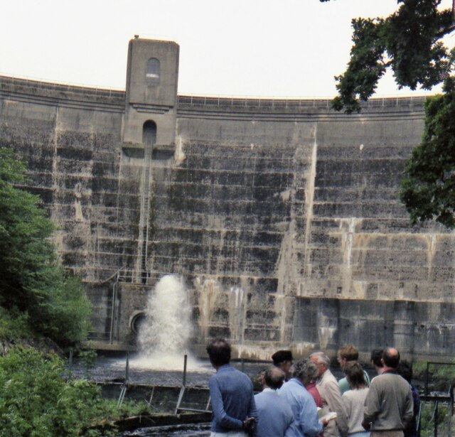
Tongland Dam in 1988 A guided tour including the foot of the dam
Tongland Dam in 1988 Credit: Kevin Waterhouse

The requested URL returned error: 429 Too Many Requests

If you have any feedback on the listing, please let us know in the comments section below.

Spout Plantation Images

Images are sourced within 2km of 54.853001/-4.0305589 or Grid Reference NX6952. Thanks to Geograph Open Source API. All images are credited.

Tongland Dam in 1988 A guided tour including the foot of the dam
Tongland Dam in 1988
A guided tour including the foot of the dam
Tongland Dam The dam holds back 8.8 million cubic metres of water in Tongland Loch.
Tongland Dam
The dam holds back 8.8 million cubic metres of water in Tongland Loch.
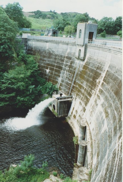
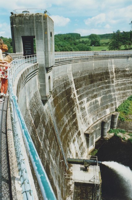
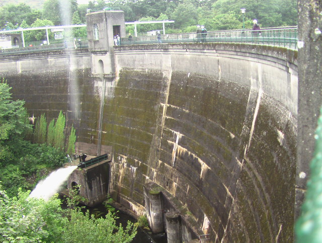
View from Tongland Dam Looking downstream from the top of the dam wall. The water is coming out of one of the discharge pipes near the bottom of the dam.
View from Tongland Dam
Looking downstream from the top of the dam wall. The water is coming out of one of the discharge pipes near the bottom of the dam.
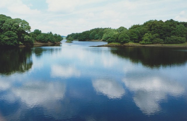
Tongland Loch The view from Tongland Dam looking up Tongland Loch, the narrow reservoir for the Tongland Hydro-electric scheme.
Tongland Loch
The view from Tongland Dam looking up Tongland Loch, the narrow reservoir for the Tongland Hydro-electric scheme.
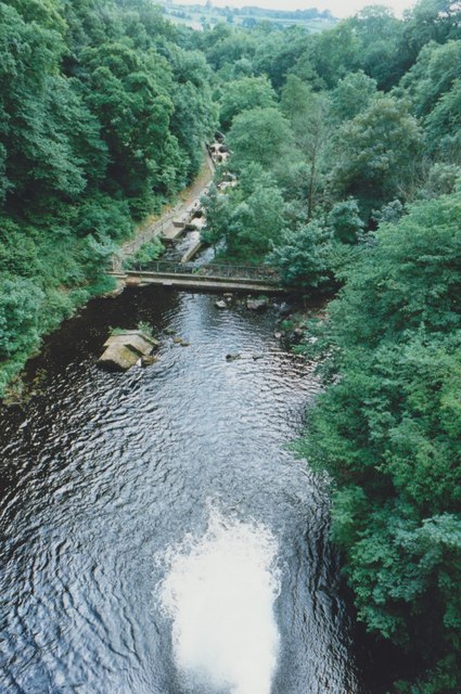
Fish Pass, Tongland Dam The fish pass below the dam allows migratory fish from the River Dee to bypass the dam.
Fish Pass, Tongland Dam
The fish pass below the dam allows migratory fish from the River Dee to bypass the dam.
Tongland Dam
Tongland Dam
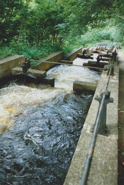
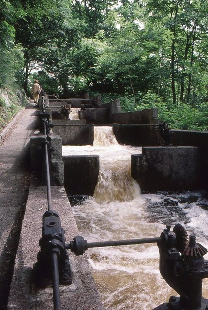
Fish Pass Tongland Dam A few of a series of 39 chambers making up the complete fish ladder, allowing migratory fish to ascend the River Dee.
Fish Pass Tongland Dam
A few of a series of 39 chambers making up the complete fish ladder, allowing migratory fish to ascend the River Dee.
Elvers, Fish Pass Tongland Dam Elvers (young eels) climbing up the edge of the fish pass, using the mossy walls as an easier route, rather than attempting to fight against the strong water current (seen on the right).
Elvers, Fish Pass Tongland Dam
Elvers (young eels) climbing up the edge of the fish pass, using the mossy walls as an easier route, rather than attempting to fight against the strong water current (seen on the right).
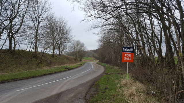
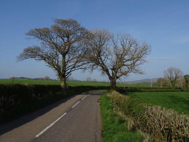
The road near Jordieland The road to Kirkcudbright sweeps past the entrance to Jordieland cottages.
The road near Jordieland
The road to Kirkcudbright sweeps past the entrance to Jordieland cottages.
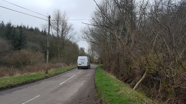
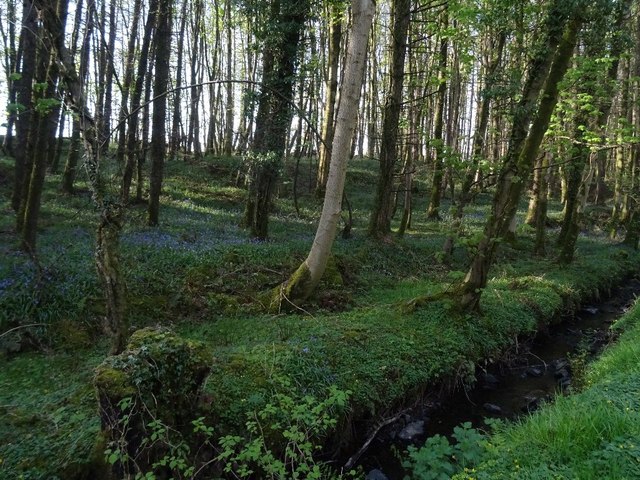
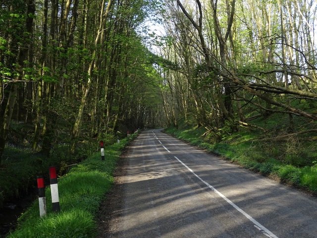
Knockorr plantation The road to Kirkcudbright descends through woodland at this point.
Knockorr plantation
The road to Kirkcudbright descends through woodland at this point.
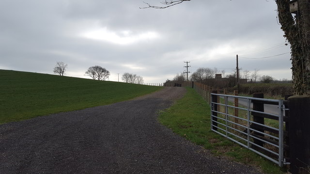
New access road at Tongland This is a recently constructed access road from the public roadway at Tongland.
New access road at Tongland
This is a recently constructed access road from the public roadway at Tongland.
B727 The long easy climb out of Kirkcudbright.
B727
The long easy climb out of Kirkcudbright.
Brockleugh Plantation Beside the B727.
Brockleugh Plantation
Beside the B727.
B727, Whinnieliggate
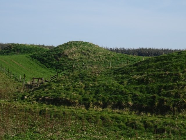
Hummocky ground Near Kirkcudbright beside the B727.
Hummocky ground
Near Kirkcudbright beside the B727.
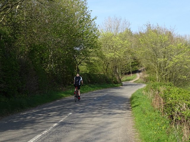
B727, Brockleugh Plantation Climbing away from Kirkcudbright.
B727, Brockleugh Plantation
Climbing away from Kirkcudbright.
Field by Whinnieliggate
Tongland Dam HEP station
Show me another place!

Spout Plantation is located at Grid Ref: NX6952 (Lat: 54.853001, Lng: -4.0305589)

Unitary Authority: Dumfries and Galloway

Police Authority: Dumfries and Galloway

What 3 Words

///single.conforms.immunity. Near Kirkcudbright, Dumfries & Galloway

Related Wikis

Tongland

Tongland is a small village about 2 miles (3 km) north of Kirkcudbright, in the historic county of Kirkcudbrightshire in Dumfries and Galloway, Scotland...

Tongland Abbey

Tungland or Tongland Abbey was a Premonstratensian monastic community located in Tongland in the historical county of Kirkcudbrightshire in Dumfries and...

Kirkcudbright Railway

The Kirkcudbright Railway was a railway branch line linking Kirkcudbright to the Castle Douglas and Dumfries Railway at Castle Douglas. It opened in 1864...

Kirkcudbright railway station

Kirkcudbright railway station served the town of Kirkcudbright, Dumfries and Galloway, Scotland from 1864 to 1965 on the Kirkcudbright Railway. == History... ==

Nearby Amenities

Located within 500m of 54.853001,-4.0305589
Power: pole
Lat/Long: 54.8569672/-4.0340145
Power: pole
Lat/Long: 54.8560513/-4.0359499
Power: pole
Lat/Long: 54.8556649/-4.0361517
Power: pole
Lat/Long: 54.8553053/-4.0363472
Power: pole
Lat/Long: 54.8549409/-4.0365363
Power: pole
Lat/Long: 54.8562665/-4.0332965
Power: pole
Lat/Long: 54.8554985/-4.0332582
Power: pole
Lat/Long: 54.8547354/-4.0332179
Power: pole
Lat/Long: 54.8539772/-4.033178
Power: pole
Lat/Long: 54.8534036/-4.0331478
Power: pole
Lat/Long: 54.8528276/-4.033118
Power: pole
Lat/Long: 54.852117/-4.0330819
Power: pole
Lat/Long: 54.8515251/-4.0330415
Power: pole
Lat/Long: 54.8508775/-4.0334294
Power: pole
Lat/Long: 54.85028/-4.0337872
Power: pole
Lat/Long: 54.8496171/-4.0341781
Power: pole
Lat/Long: 54.8488807/-4.0331669
Power: pole
Lat/Long: 54.8534183/-4.0346795
Power: pole
Lat/Long: 54.8530502/-4.0358841
Power: pole
Lat/Long: 54.8526992/-4.0369569
Power: pole
Lat/Long: 54.8524179/-4.0378194
Power: pole
Lat/Long: 54.8506763/-4.0349536
The data included in this document is from www.openstreetmap.org. The data is made available under ODbL.

Have you been to Spout Plantation?

Leave your review of Spout Plantation below (or comments, questions and feedback).