Drumbreck Moss
Wood, Forest in Kirkcudbrightshire
Scotland
Drumbreck Moss
![Bellymack Fields A large modern [post-2010] house on the B795 just east of Laurieston.](https://s3.geograph.org.uk/geophotos/07/03/04/7030495_5afb0445.jpg)
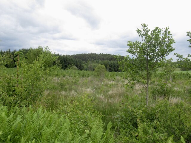
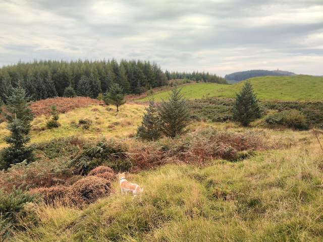
Drumbreck Moss is a picturesque woodland located in Kirkcudbrightshire, Scotland. Covering an extensive area, this enchanting forest is known for its diverse flora and fauna, making it a popular destination for nature lovers and outdoor enthusiasts.
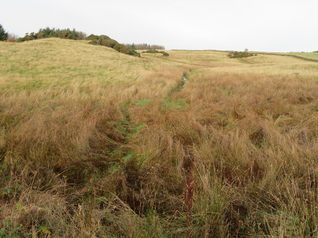
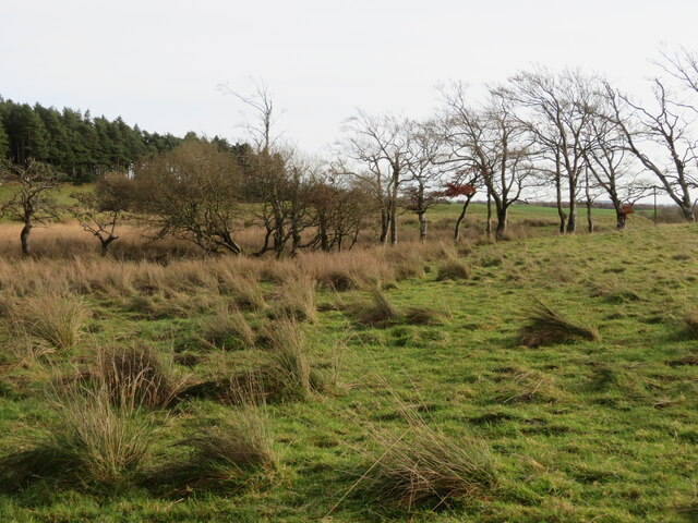
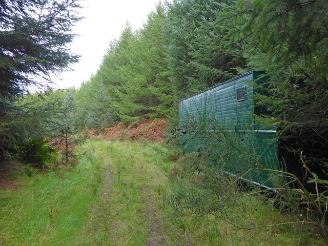
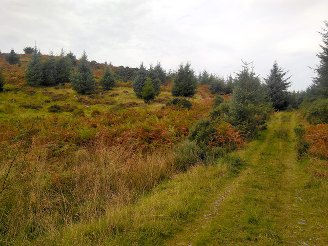
The moss is characterized by its dense tree cover, primarily consisting of native species such as oak, birch, and pine. The towering trees create a dense canopy, providing shade and shelter to a variety of woodland creatures. The forest floor is adorned with a carpet of vibrant green mosses and ferns, further enhancing the beauty of the surroundings.
The moss is home to a rich assortment of wildlife. Visitors may spot red squirrels darting through the treetops or catch a glimpse of roe deer grazing in the glades. Birdwatchers will delight in the opportunity to observe species such as woodpeckers, owls, and buzzards that call the moss their home. The tranquil atmosphere of the woodland is occasionally interrupted by the rhythmic drumming of woodpeckers, adding to the allure of the surroundings.
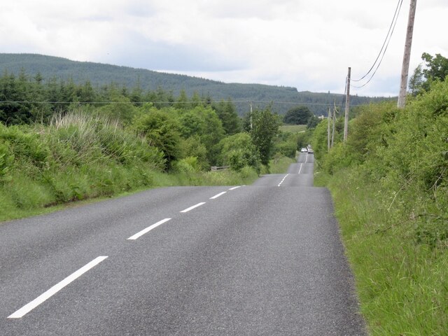
A network of well-maintained trails meanders through the moss, allowing visitors to explore its wonders at their own pace. Hikers can revel in the beauty of the ancient trees, breathe in the fresh woodland air, and enjoy the peaceful ambiance that permeates the area. The moss also offers picnic areas, providing a perfect spot to relax and immerse oneself in the natural splendor.
Drumbreck Moss, Kirkcudbrightshire, is a haven of tranquility and natural beauty, offering a respite from the hustle and bustle of daily life.
If you have any feedback on the listing, please let us know in the comments section below.
Drumbreck Moss Images
Images are sourced within 2km of 54.953717/-4.0432574 or Grid Reference NX6964. Thanks to Geograph Open Source API. All images are credited.


![Mum and Kid at red kite feeding station Red kites were once common scavengers around our cities, feeding on scraps and carrion. They were, however, persecuted in the 19C, wrongly thought to take lambs and game. By 1880 only a dozen or so remained in the UK, in valleys in mid-Wales. In 1989 a reintroduction programme was launched and 104 red kites were released in Galloway between 2001 and 2005. They are now well established and have bred since 2003 with increasing success, with 18 young fledging in 2003 to 104 in 2011, and from 4 to 58 nesting pairs over the same period. There are now about 320 in the area. They are encouraged by a feeding station near Laurieston at Bellymack Hill Farm, and large numbers can be seen and heard calling every day as they gather in the trees and wheel about making their whistling calls, waiting for the daily feed at 2pm [road kill and chicken]. For more information see the Galloway Kite Trail and RSPB links – <span class="nowrap"><a title="www.gallowaykitetrail.com" rel="nofollow ugc noopener" href="http://www.gallowaykitetrail.com">Link</a><img style="margin-left:2px;" alt="External link" title="External link - shift click to open in new window" src="https://s1.geograph.org.uk/img/external.png" width="10" height="10"/></span> and <span class="nowrap"><a title="www.rspb.org.uk/scotland" rel="nofollow ugc noopener" href="http://www.rspb.org.uk/scotland">Link</a><img style="margin-left:2px;" alt="External link" title="External link - shift click to open in new window" src="https://s1.geograph.org.uk/img/external.png" width="10" height="10"/></span>](https://s0.geograph.org.uk/geophotos/07/62/81/7628164_92a0e1e3.jpg)

Drumbreck Moss is located at Grid Ref: NX6964 (Lat: 54.953717, Lng: -4.0432574)
Unitary Authority: Dumfries and Galloway
Police Authority: Dumfries and Galloway
What 3 Words
///yummy.overlaps.fault. Near Castle Douglas, Dumfries & Galloway
Nearby Locations
Related Wikis

Balmaghie
Balmaghie ( bal-mə-GEE), from the Scottish Gaelic Baile Mhic Aoidh, is an ecclesiastical and civil parish in the historical county of Kirkcudbrightshire...

Glenlochar
Glenlochar (Gd: Gleann Lochair) is a hamlet on the western bank of the River Dee in the parish of Balmaghie in the historical county of Kirkcudbrightshire...

Abbey Yard
Abbey Yard is a location in Dumfries and Galloway, Scotland. Abbey Yard is near Glenlochar in the historical county of Kirkcudbrightshire in the Dumfries...

Crossmichael railway station
Crossmichael railway station served the village of Crossmichael, Kirkcudbrightshire, Scotland, from 1861 to 1965 on the Portpatrick and Wigtownshire Joint...
Nearby Amenities
Located within 500m of 54.953717,-4.0432574Have you been to Drumbreck Moss?
Leave your review of Drumbreck Moss below (or comments, questions and feedback).