White Hill

Hill, Mountain in Kirkcudbrightshire

Scotland

White Hill

Bellymack Fields A large modern [post-2010] house on the B795 just east of Laurieston.
Bellymack Fields Credit: M J Richardson

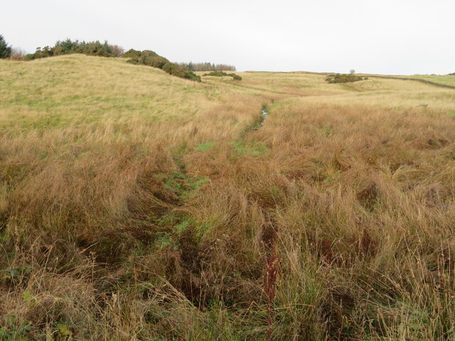
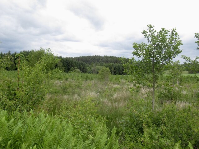
White Hill is a prominent hill located in Kirkcudbrightshire, Scotland. It is situated near the town of Kirkcudbright and offers stunning views of the surrounding countryside. White Hill is part of the Galloway Hills range and stands at an elevation of approximately 320 meters (1,050 feet) above sea level.

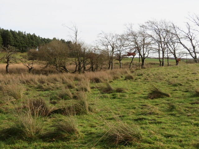
The hill is characterized by its distinctive white rock formations, which give it its name. These rocks are composed of granite and quartz, creating a striking contrast with the green grass and heather that cover the slopes. White Hill is a popular destination for hikers and outdoor enthusiasts, offering a range of trails and paths to explore.

At the summit of White Hill, visitors can enjoy panoramic views of the rolling hills and valleys of Kirkcudbrightshire, as well as the nearby Solway Firth and Irish Sea. On a clear day, it is possible to see as far as the Isle of Man and the Lake District in England.

Overall, White Hill is a picturesque and scenic destination for those looking to experience the natural beauty of Scotland's countryside.

If you have any feedback on the listing, please let us know in the comments section below.
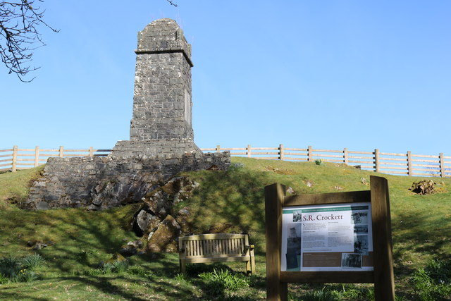
White Hill Images

Images are sourced within 2km of 54.959727/-4.0412508 or Grid Reference NX6964. Thanks to Geograph Open Source API. All images are credited.

Bellymack Fields A large modern [post-2010] house on the B795 just east of Laurieston.
Bellymack Fields
A large modern [post-2010] house on the B795 just east of Laurieston.
Rough ground near Bellymack Fields Wet and rushy, with a small drain.
Rough ground near Bellymack Fields
Wet and rushy, with a small drain.
Rough grazing near Bellymack Cottage With a line of bushes along a drain.
Rough grazing near Bellymack Cottage
With a line of bushes along a drain.
Kirk Road, Laurieston A 'no through road' to Dornell Loch. The nearest church is in <a href="https://www.geograph.org.uk/gridref/NX7266">NX7266</a>.
Kirk Road, Laurieston
A 'no through road' to Dornell Loch. The nearest church is in NX7266.
Gallery and cafe, Laurieston
Game Park Plantation
B795, Bellymack Moss The wooded hills above Laurieston are in the background after the road crosses farmland and small woods near the outflow of Loch Ken.
B795, Bellymack Moss
The wooded hills above Laurieston are in the background after the road crosses farmland and small woods near the outflow of Loch Ken.
Bellymack Hill entrance There is a kite feeding station here and it sounded a bit like a sheepdog trial with the kites whistling from the surrounding trees.
Bellymack Hill entrance
There is a kite feeding station here and it sounded a bit like a sheepdog trial with the kites whistling from the surrounding trees.
Edge of Laurieston Forest A field under Craigcroft Wood.
Edge of Laurieston Forest
A field under Craigcroft Wood.
Red kite at feeding station Taken soon after they opened
Red kite at feeding station
Taken soon after they opened
Mum and Kid at red kite feeding station Red kites were once common scavengers around our cities, feeding on scraps and carrion. They were, however, persecuted in the 19C, wrongly thought to take lambs and game. By 1880 only a dozen or so remained in the UK, in valleys in mid-Wales. In 1989 a reintroduction programme was launched and 104 red kites were released in Galloway between 2001 and 2005. They are now well established and have bred since 2003 with increasing success, with 18 young fledging in 2003 to 104 in 2011, and from 4 to 58 nesting pairs over the same period. There are now about 320 in the area. They are encouraged by a feeding station near Laurieston at Bellymack Hill Farm, and large numbers can be seen and heard calling every day as they gather in the trees and wheel about making their whistling calls, waiting for the daily feed at 2pm [road kill and chicken]. For more information see the Galloway Kite Trail and RSPB links – <span class="nowrap"><a title="www.gallowaykitetrail.com" rel="nofollow ugc noopener" href="http://www.gallowaykitetrail.com">Link</a><img style="margin-left:2px;" alt="External link" title="External link - shift click to open in new window" src="https://s1.geograph.org.uk/img/external.png" width="10" height="10"/></span> and <span class="nowrap"><a title="www.rspb.org.uk/scotland" rel="nofollow ugc noopener" href="http://www.rspb.org.uk/scotland">Link</a><img style="margin-left:2px;" alt="External link" title="External link - shift click to open in new window" src="https://s1.geograph.org.uk/img/external.png" width="10" height="10"/></span>
Mum and Kid at red kite feeding station
Red kites were once common scavengers around our cities, feeding on scraps and carrion. They were, however, persecuted in the 19C, wrongly thought to take lambs and game. By 1880 only a dozen or so remained in the UK, in valleys in mid-Wales. In 1989 a reintroduction programme was launched and 104 red kites were released in Galloway between 2001 and 2005. They are now well established and have bred since 2003 with increasing success, with 18 young fledging in 2003 to 104 in 2011, and from 4 to 58 nesting pairs over the same period. There are now about 320 in the area. They are encouraged by a feeding station near Laurieston at Bellymack Hill Farm, and large numbers can be seen and heard calling every day as they gather in the trees and wheel about making their whistling calls, waiting for the daily feed at 2pm [road kill and chicken]. For more information see the Galloway Kite Trail and RSPB links – LinkExternal link and LinkExternal link
Bargatton Plantation This hillside in Bargatton Plantation has been planted and felled at one time, and some new trees have popped up between the old stumps.
Bargatton Plantation
This hillside in Bargatton Plantation has been planted and felled at one time, and some new trees have popped up between the old stumps.
Laurieston Laurieston is a rural village in Dumfries and Galloway.
Laurieston
Laurieston is a rural village in Dumfries and Galloway.
Crockett Memorial
Crockett Memorial
Crockett Memorial
Crockett Memorial
Crockett Memorial
Crockett Memorial
Daffodils at the Crockett Memorial
Crockett Memorial
Crockett Memorial
Show me another place!

White Hill is located at Grid Ref: NX6964 (Lat: 54.959727, Lng: -4.0412508)

Unitary Authority: Dumfries and Galloway

Police Authority: Dumfries and Galloway

What 3 Words

///coverage.flown.joyously. Near Castle Douglas, Dumfries & Galloway

Related Wikis

Balmaghie

Balmaghie ( bal-mÉ™-GEE), from the Scottish Gaelic Baile Mhic Aoidh, is an ecclesiastical and civil parish in the historical county of Kirkcudbrightshire...

Glenlochar

Glenlochar (Gd: Gleann Lochair) is a hamlet on the western bank of the River Dee in the parish of Balmaghie in the historical county of Kirkcudbrightshire...

Abbey Yard

Abbey Yard is a location in Dumfries and Galloway, Scotland. Abbey Yard is near Glenlochar in the historical county of Kirkcudbrightshire in the Dumfries...

Crossmichael railway station

Crossmichael railway station served the village of Crossmichael, Kirkcudbrightshire, Scotland, from 1861 to 1965 on the Portpatrick and Wigtownshire Joint...

Nearby Amenities

Located within 500m of 54.959727,-4.0412508
Bellymack
Naptan AtcoCode: 680001013333
Naptan Bearing: SW
Naptan BusStopType: CUS
Naptan CommonName: Bellymack
Naptan Indicator: Farm
Naptan Landmark: Bellymack
Naptan NaptanCode: 34235828
Naptan Notes: none
Naptan Street: B795
Naptan Verified: no
Source: naptan_import
Lat/Long: 54.9605957/-4.0466007
Bellymack
Naptan AtcoCode: 680001013444
Naptan Bearing: NE
Naptan BusStopType: CUS
Naptan CommonName: Bellymack
Naptan Indicator: opp Farm
Naptan Landmark: Bellymack
Naptan NaptanCode: 34235829
Naptan Notes: none
Naptan Street: B795
Naptan Verified: no
Source: naptan_import
Lat/Long: 54.960676/-4.046636
Power: pole
Lat/Long: 54.9596426/-4.0489325
Power: pole
Lat/Long: 54.9599414/-4.0477662
Power: pole
Lat/Long: 54.9600744/-4.0472584
Power: pole
Lat/Long: 54.9602354/-4.0466529
Power: pole
Lat/Long: 54.9574701/-4.0349684
Power: pole
Lat/Long: 54.9577775/-4.0364131
Power: pole
Lat/Long: 54.9579638/-4.0372799
Power: pole
Lat/Long: 54.958202/-4.0383888
Power: pole
Lat/Long: 54.9585496/-4.0400395
Power: pole
Lat/Long: 54.9588168/-4.0413099
Power: pole
Lat/Long: 54.9590827/-4.0425825
Power: pole
Lat/Long: 54.9594157/-4.044127
Power: pole
Lat/Long: 54.9597133/-4.0455461
Power: pole
Lat/Long: 54.9603988/-4.0487817
Power: pole
Lat/Long: 54.9586436/-4.0371078
Power: pole
Lat/Long: 54.9594572/-4.0368996
Power: pole
Lat/Long: 54.9602012/-4.036719
Power: pole
Lat/Long: 54.9609928/-4.0365087
Power: pole
Lat/Long: 54.9617722/-4.0363026
Power: pole
Lat/Long: 54.9626065/-4.0361008
Power: pole
Lat/Long: 54.9616277/-4.0446655
The data included in this document is from www.openstreetmap.org. The data is made available under ODbL.

Have you been to White Hill?

Leave your review of White Hill below (or comments, questions and feedback).