Coilentowie Wood

Wood, Forest in Perthshire

Scotland

Coilentowie Wood

Private road to Lower Coilentowie
Private road to Lower Coilentowie Credit: Steven Brown

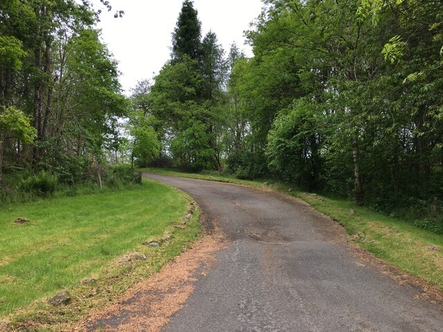
Coilentowie Wood is a picturesque forest located in Perthshire, Scotland. Covering an area of approximately 200 hectares, this woodland is a haven for nature enthusiasts and outdoor lovers alike. It is situated near the village of Dunkeld, making it easily accessible and a popular destination for locals and tourists.

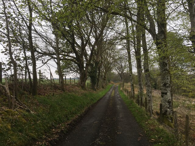
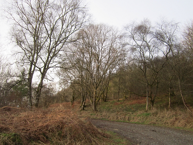
The forest is predominantly composed of native Scottish tree species, including oak, birch, and pine. The diverse range of flora and fauna found within Coilentowie Wood attracts a wide variety of wildlife, making it an ideal spot for birdwatching and animal spotting. Visitors may encounter red squirrels, roe deer, and a myriad of bird species, including the elusive capercaillie.

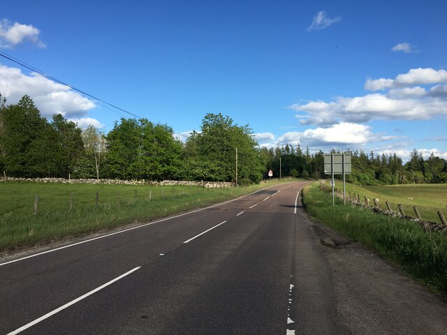
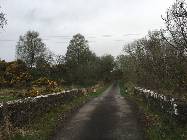
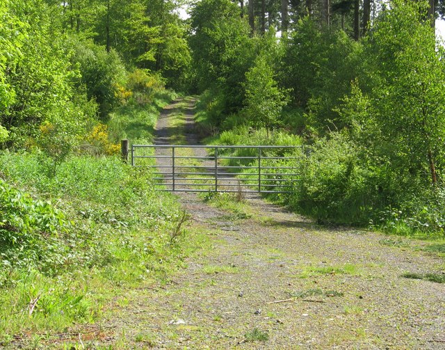
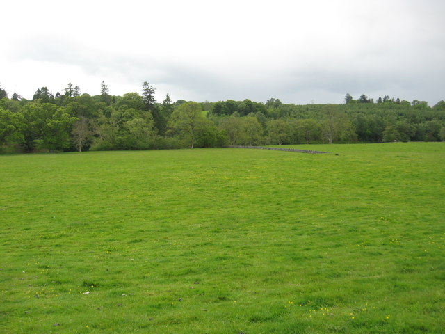
Within the wood, there are several well-maintained trails and paths, allowing visitors to explore the forest at their own pace. These trails offer breathtaking views of the surrounding landscape, including the stunning River Tay and the imposing Grampian Mountains.

Coilentowie Wood is not only a haven for wildlife but also serves as an important conservation site. The forest is managed by local authorities and various organizations to ensure the preservation of its natural beauty and biodiversity. Efforts are made to maintain a healthy ecosystem and protect vulnerable species.

For those seeking a peaceful escape from the hustle and bustle of everyday life, Coilentowie Wood provides a tranquil retreat. Whether it's a leisurely stroll through the forest, a picnic by the river, or simply immersing oneself in the serene surroundings, this woodland offers an idyllic setting for relaxation and rejuvenation.

If you have any feedback on the listing, please let us know in the comments section below.

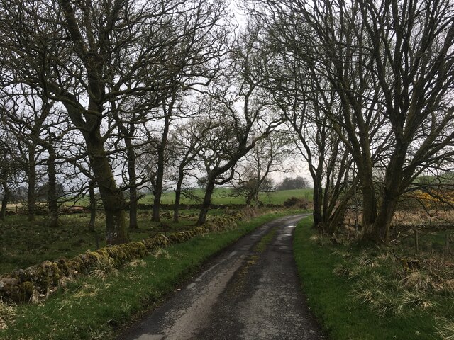
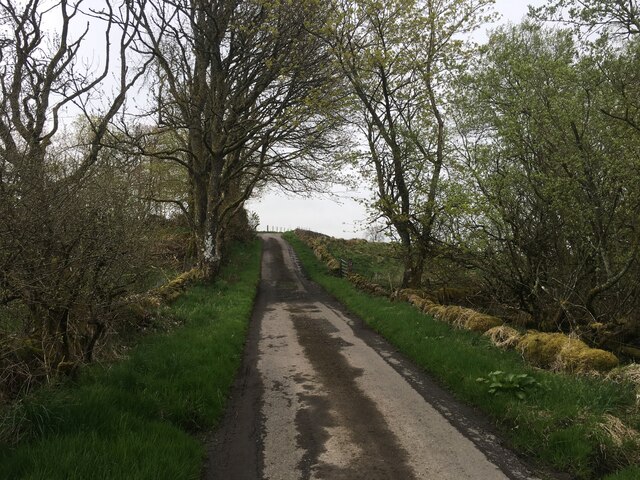
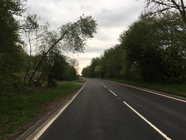
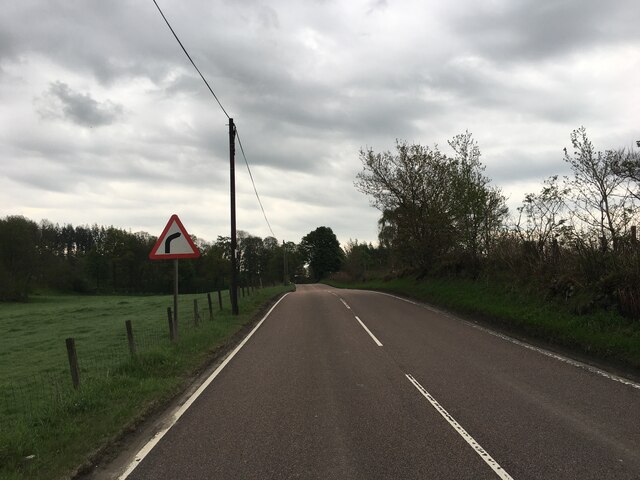
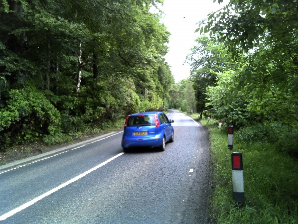
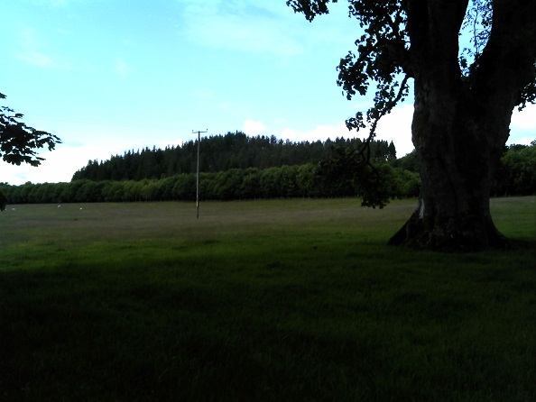
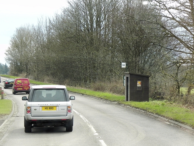
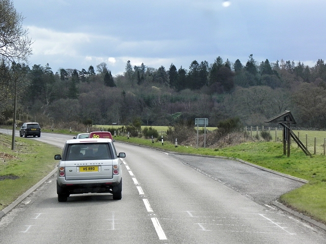
Coilentowie Wood Images

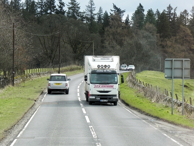
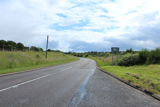
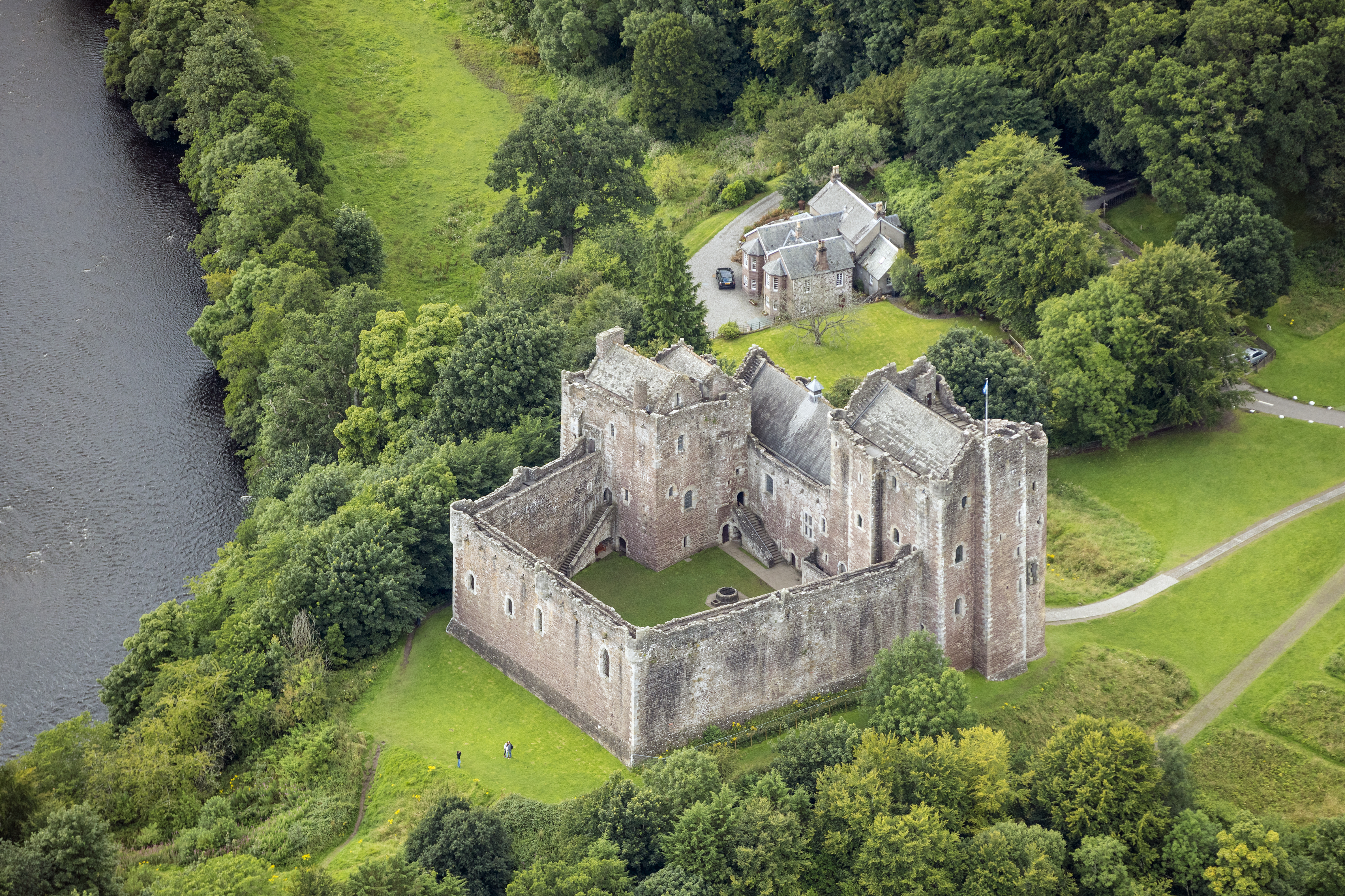
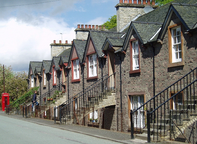
Images are sourced within 2km of 56.21726/-4.1110172 or Grid Reference NN6904. Thanks to Geograph Open Source API. All images are credited.

Private road to Lower Coilentowie
A84 between Callander and Doune
Minor road towards Drumloist
Minor road at Drumloist
A84 at Drumvaich
A84 at Drumvaich
A84 towards Doune
A84 towards Doune
Gate providing the entrance To a track in to the woods near Lower Coilentowie.
Gate providing the entrance
To a track in to the woods near Lower Coilentowie.
Grazing lands at Easter Coillechat In Stirling District.
Grazing lands at Easter Coillechat
In Stirling District.
MacGregors Monument Erected in the early 1800's by the then landowner, Sir Evan John Murray MacGregor,this monument in Lanrick estate is difficult to find within a plantation and in dense undergrowth. The thirty foot high base of solid stone blocks is shaped like the trunk of an oak tree with cropped branches. The oak being the badge of the MacGregors. This is surmounted by a coronet and above this are three doric columns supporting a platform with a central pillar above which originally was topped  by an urn, perhaps shaped like an acorn, which has fallen and now lies on the ground. In total it is approximately 60 feet in height.
MacGregors Monument
Erected in the early 1800's by the then landowner, Sir Evan John Murray MacGregor,this monument in Lanrick estate is difficult to find within a plantation and in dense undergrowth. The thirty foot high base of solid stone blocks is shaped like the trunk of an oak tree with cropped branches. The oak being the badge of the MacGregors. This is surmounted by a coronet and above this are three doric columns supporting a platform with a central pillar above which originally was topped by an urn, perhaps shaped like an acorn, which has fallen and now lies on the ground. In total it is approximately 60 feet in height.
Access road, Drumvaich Wood The road serves a large conifer plantation.
Access road, Drumvaich Wood
The road serves a large conifer plantation.
Kirkton Wood along the A84 Photographer is standing quite near the roadway edge.
Kirkton Wood along the A84
Photographer is standing quite near the roadway edge.
Easter Coillechat Photographer is standing slightly north of the A84 Road.
Easter Coillechat
Photographer is standing slightly north of the A84 Road.
Bus Stop, A84 Drumvaich The A84 is a major road in Scotland. It links the city of Stirling with Lochearnhead, running an approximate 28 miles.
Bus Stop, A84 Drumvaich
The A84 is a major road in Scotland. It links the city of Stirling with Lochearnhead, running an approximate 28 miles.
Layby on A84 near Drumvaich The A84 is a major road in Scotland. It links the city of Stirling with Lochearnhead, running an approximate 28 miles.
Layby on A84 near Drumvaich
The A84 is a major road in Scotland. It links the city of Stirling with Lochearnhead, running an approximate 28 miles.
Southbound A84 near Lanrick The A84 is a major road in Scotland. It links the city of Stirling with Lochearnhead, running an approximate 28 miles.
Southbound A84 near Lanrick
The A84 is a major road in Scotland. It links the city of Stirling with Lochearnhead, running an approximate 28 miles.
The A84 to Doune
The A84 to Doune
Show me another place!

Coilentowie Wood is located at Grid Ref: NN6904 (Lat: 56.21726, Lng: -4.1110172)

Unitary Authority: Stirling

Police Authority: Forth Valley

What 3 Words

///bought.roughest.appealed. Near Doune, Stirling

Nearby Locations

Coilentowie Wood

Related Wikis

Lanrick Castle

Lanrick Castle was a late 18th-century country house near Doune in central Scotland. It was demolished in 2002 despite being protected as a category B...

Doune Hillclimb

Doune Hillclimb, Carse of Cambus, near Doune in the district of Stirling, Scotland, is the home of the only round of the British Hill Climb Championship...

Kilmadock

Kilmadock parish (Scottish Gaelic Cille Mo Dog), named for Saint Cadoc, containing the settlements of Doune, Deanston, Buchany, Argaty, Hill of Row, Drumvaich...

Deanston

Deanston (Scottish Gaelic: Baile an Deadhain) is a village in the Stirling council area, Scotland, on the south bank of the River Teith east of Doune,...

Nearby Amenities

Located within 500m of 56.21726,-4.1110172
Power: pole
Lat/Long: 56.2148939/-4.1178706
Power: pole
Lat/Long: 56.2153289/-4.1158772
Power: pole
Lat/Long: 56.2158268/-4.1151137
Power: pole
Lat/Long: 56.2162443/-4.1144705
Power: pole
Lat/Long: 56.2155383/-4.1041206
Power: pole
Lat/Long: 56.2156418/-4.1056057
Power: pole
Lat/Long: 56.215764/-4.1074234
Power: pole
Lat/Long: 56.2158966/-4.1093771
Power: pole
Lat/Long: 56.2160373/-4.1113789
Power: pole
Lat/Long: 56.2163711/-4.1164095
Power: pole
Lat/Long: 56.2170027/-4.1180348
The data included in this document is from www.openstreetmap.org. The data is made available under ODbL.

Have you been to Coilentowie Wood?

Leave your review of Coilentowie Wood below (or comments, questions and feedback).