Easterton Moss Plantation

Wood, Forest in Dunbartonshire

Scotland

Easterton Moss Plantation

Mist and the Kilsyth Hills Fine example of low-lying mist in the glens between Kilsyth and Kirkintilloch.
Mist and the Kilsyth Hills Credit: Stephen Sweeney

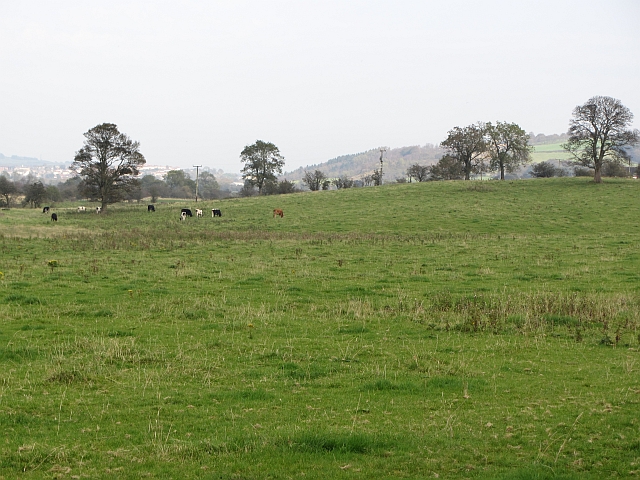
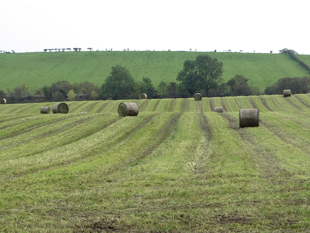
Easterton Moss Plantation is a picturesque woodland located in Dunbartonshire, Scotland. Covering an area of approximately 200 acres, it is known for its diverse and thriving ecosystem. The plantation is primarily composed of a mixture of native tree species such as oak, birch, and Scots pine, creating a rich and verdant landscape.

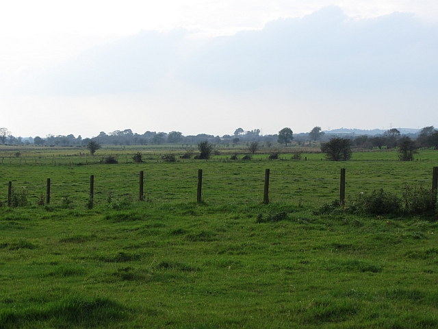
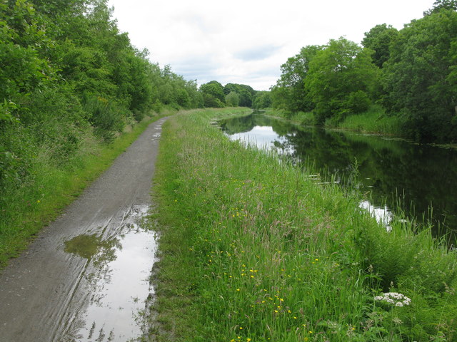
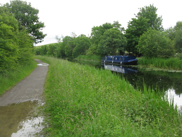
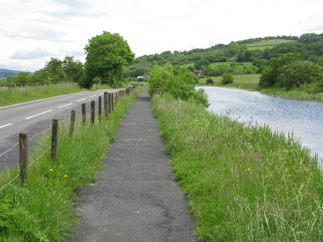
The forest floor is adorned with a variety of mosses, ferns, and wildflowers, adding to the plantation's natural beauty. The presence of a small stream that meanders through the woods enhances the tranquility of the area and supports a range of aquatic flora and fauna.

Easterton Moss Plantation is a haven for wildlife, providing a habitat for numerous species. Birdwatchers can spot a variety of avian species, including woodpeckers, owls, and various songbirds. Mammals such as red squirrels, badgers, and deer also call this woodland home.

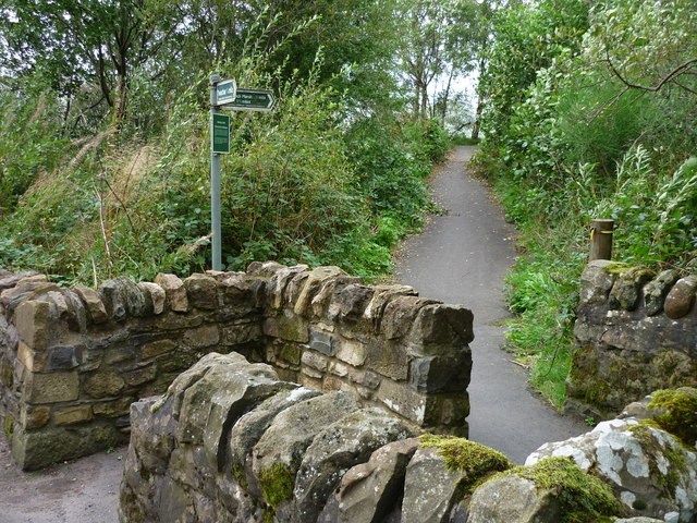
The plantation offers several walking trails, allowing visitors to explore the woodland and immerse themselves in nature. These trails are well-maintained and provide an opportunity to observe the diverse plant and animal life that thrives within the plantation.

Easterton Moss Plantation is not only a haven for biodiversity but also serves as an important carbon sink, contributing to the fight against climate change. Its preservation and conservation efforts ensure that future generations can continue to enjoy the natural beauty and ecological richness of this remarkable woodland.

If you have any feedback on the listing, please let us know in the comments section below.

Easterton Moss Plantation Images

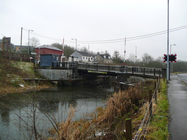
Images are sourced within 2km of 55.945601/-4.0965276 or Grid Reference NS6974. Thanks to Geograph Open Source API. All images are credited.

Mist and the Kilsyth Hills Fine example of low-lying mist in the glens between Kilsyth and Kirkintilloch.
Mist and the Kilsyth Hills
Fine example of low-lying mist in the glens between Kilsyth and Kirkintilloch.
Dumbreck Farm
Dumbreck Farm
Approaching Wester Gartshore From the west.
Approaching Wester Gartshore
From the west.
House on the B8048 At the bottom of Easterton Farm Road.
House on the B8048
At the bottom of Easterton Farm Road.
Grazing land beside the Kelvin Grassland grazed by cattle.
Grazing land beside the Kelvin
Grassland grazed by cattle.
Silage bales Newly baled silage prior to wrapping.
Silage bales
Newly baled silage prior to wrapping.
Dutch barn, Shirva The zinc has run out and the tin sheeting barn is now rusting.
Dutch barn, Shirva
The zinc has run out and the tin sheeting barn is now rusting.
Wetland pasture Flat and damp low lying ground along the River Kelvin.
Wetland pasture
Flat and damp low lying ground along the River Kelvin.
Twechar Bridge over the Forth and Clyde Canal Quoting from the guide to the Millennium Link "Here, a single-leaf bascule bridge has been refurbished and was recommissioned in January 2001. The work involved replacing the mechanical and electrical operating equipment, replacing the bridge structure and reinstating the control system. The control building has been rebuilt and the area around the bridge site landscaped."
Twechar Bridge over the Forth and Clyde Canal
Quoting from the guide to the Millennium Link "Here, a single-leaf bascule bridge has been refurbished and was recommissioned in January 2001. The work involved replacing the mechanical and electrical operating equipment, replacing the bridge structure and reinstating the control system. The control building has been rebuilt and the area around the bridge site landscaped."
Woodland, Gartshore The ferns are now out and soon the woods will be dark beneath the canopy.
Woodland, Gartshore
The ferns are now out and soon the woods will be dark beneath the canopy.
Gate, Gartshore A woodland driveway.
Gate, Gartshore
A woodland driveway.
Forth and Clyde Canal Just north of Kirkintilloch
Forth and Clyde Canal
Just north of Kirkintilloch
Forth and Clyde Canal Just outside Kirkintilloch.
Forth and Clyde Canal
Just outside Kirkintilloch.
Forth and Clyde Canal About half-way between Kirkintilloch and Twechar.
Forth and Clyde Canal
About half-way between Kirkintilloch and Twechar.
Forth and Clyde Canal, Towpath and Road (B8023) Approaching Twechar.
Forth and Clyde Canal, Towpath and Road (B8023)
Approaching Twechar.
Wester Gartshore East Lodge On the B8048 east of Kirkintilloch.
Wester Gartshore East Lodge
On the B8048 east of Kirkintilloch.
Entering Kirkintilloch from the East Along the B8048.
Entering Kirkintilloch from the East
Along the B8048.
Entrance to Heritage Path The small rectangular sign reads;
"Heritage Path
River Kelvin Walkway
The walkway follows an old mineral
railway which formed part of an extensive
system of lines that connected the
Twechar pits, Dumbreck pit, Kilsyth,
Auchinstarry quarry and several gravel pits.
Small railway engines called pugs hauled
trains of tubs containing coal, ironstone,
mine waste, quarry stone, coke and gravel.
Built in stages from the 1860's it was used
until the 1960's."
Entrance to Heritage Path
The small rectangular sign reads; "Heritage Path River Kelvin Walkway The walkway follows an old mineral railway which formed part of an extensive system of lines that connected the Twechar pits, Dumbreck pit, Kilsyth, Auchinstarry quarry and several gravel pits. Small railway engines called pugs hauled trains of tubs containing coal, ironstone, mine waste, quarry stone, coke and gravel. Built in stages from the 1860's it was used until the 1960's."
Show me another place!

Easterton Moss Plantation is located at Grid Ref: NS6974 (Lat: 55.945601, Lng: -4.0965276)

Unitary Authority: East Dunbartonshire

Police Authority: Greater Glasgow

What 3 Words

///command.drill.lakeside. Near Twechar, East Dunbartonshire

Related Wikis

Twechar

Twechar is a small former mining village historically in Dunbartonshire and administered by the council area of East Dunbartonshire, Scotland close to...

Auchendavy

Auchendavy was a Roman fort on the Antonine Wall in Scotland. Much of the site archeology was destroyed by the builders of the Forth and Clyde Canal. Between...

Waterside, East Dunbartonshire

Waterside is a small village next to Kirkintilloch, East Dunbartonshire, on the eastern outskirts. It is roughly 10 miles north-east of Glasgow. ��2�...

Bar Hill Fort

Bar Hill Fort was a Roman fort on the Antonine Wall in Scotland. It was built around the year 142 A.D.. Older maps and documents sometimes spell the name...

Nearby Amenities

Located within 500m of 55.945601,-4.0965276
Castle Hill
Donald: no
Munro: no
Natural: peak
Source: old map, local name
Lat/Long: 55.9451268/-4.0970862
Power: pole
Lat/Long: 55.9430701/-4.1024205
Power: pole
Lat/Long: 55.9438972/-4.101731
Power: pole
Lat/Long: 55.9448083/-4.1009435
Power: pole
Lat/Long: 55.9456902/-4.1001748
Power: pole
Lat/Long: 55.9466596/-4.0993499
Power: pole
Lat/Long: 55.9474785/-4.098652
Power: pole
Lat/Long: 55.9483953/-4.0978708
Power: pole
Lat/Long: 55.949297/-4.0971146
Power: pole
Lat/Long: 55.9496306/-4.0954627
Power: pole
Lat/Long: 55.9483778/-4.0966647
Power: pole
Lat/Long: 55.9483568/-4.0955064
Power: pole
Lat/Long: 55.9483393/-4.0942502
Power: pole
Lat/Long: 55.9483265/-4.0930503
Power: pole
Lat/Long: 55.9483125/-4.0918067
Power: pole
Lat/Long: 55.9482962/-4.090713
Power: pole
Lat/Long: 55.9488421/-4.0985687
Power: pole
Lat/Long: 55.9493868/-4.0992207
The data included in this document is from www.openstreetmap.org. The data is made available under ODbL.

Have you been to Easterton Moss Plantation?

Leave your review of Easterton Moss Plantation below (or comments, questions and feedback).