Bishopton Wood
Wood, Forest in Kirkcudbrightshire
Scotland
Bishopton Wood

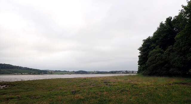
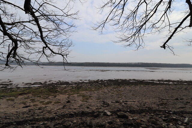
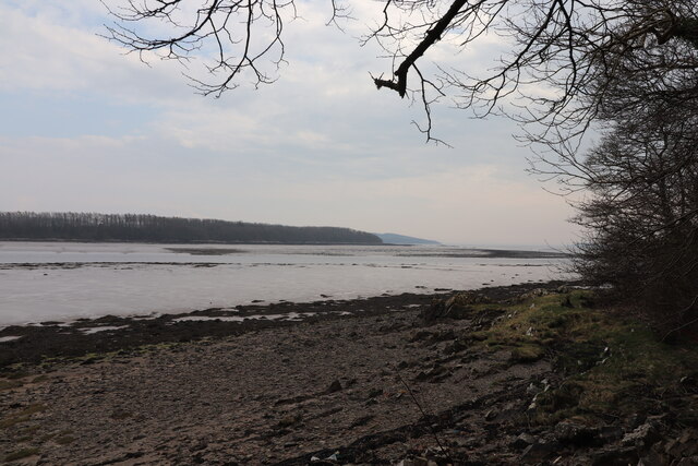
Bishopton Wood is a beautiful woodland located in Kirkcudbrightshire, Scotland. Covering an area of approximately 70 acres, it is a popular destination for nature lovers and outdoor enthusiasts. The wood is situated about 4 miles south of Kirkcudbright, near the village of Twynholm.
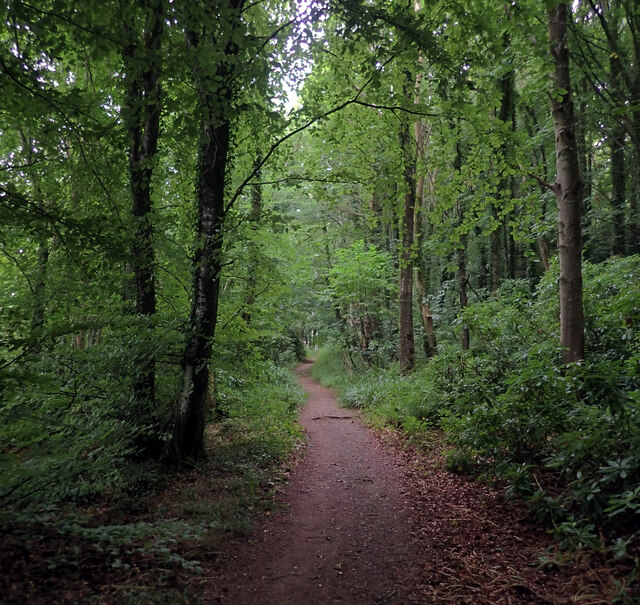
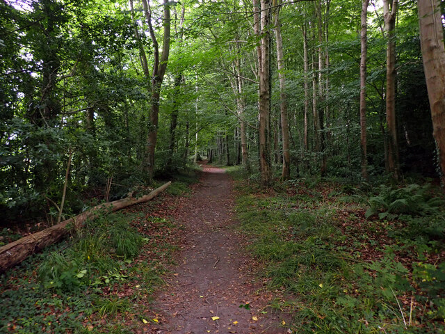
Bishopton Wood is known for its diverse range of tree species, including oak, beech, birch, and pine. These trees create a stunning canopy, providing shade and shelter for a wide variety of flora and fauna. The woodland floor is carpeted with bluebells in the spring, creating a vibrant and enchanting atmosphere.
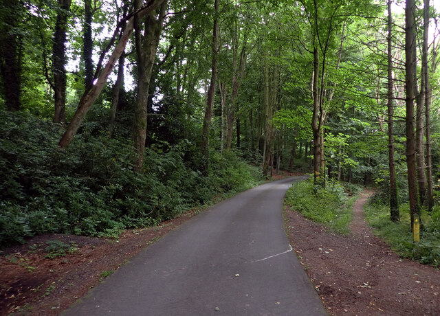
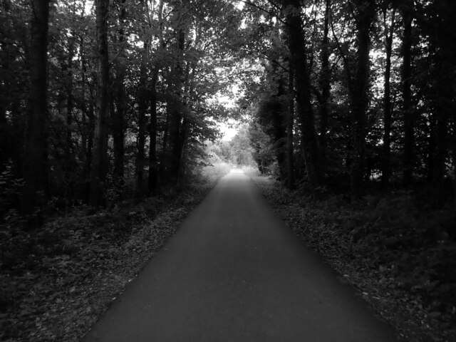
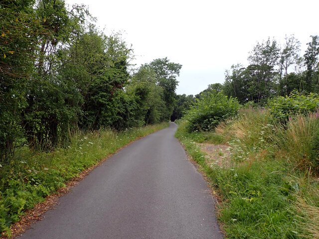
The wood offers several walking trails, allowing visitors to explore its natural beauty and discover its hidden treasures. The paths are well-maintained and suitable for all ages and abilities. Along the way, you may encounter wildlife such as red squirrels, roe deer, and a variety of bird species.
One of the highlights of Bishopton Wood is its ancient yew tree, estimated to be over 1,000 years old. This majestic tree stands as a testament to the wood's long history and adds to its mystical charm.
The wood is managed by a local conservation organization, which ensures its preservation and protection for future generations to enjoy. There are picnic areas and benches scattered throughout the wood, providing a perfect spot to rest and take in the tranquil surroundings.
Overall, Bishopton Wood offers a serene and captivating experience for nature enthusiasts, providing an opportunity to connect with the natural world and appreciate the beauty of Kirkcudbrightshire's woodlands.
If you have any feedback on the listing, please let us know in the comments section below.
Bishopton Wood Images
Images are sourced within 2km of 54.83228/-4.0742996 or Grid Reference NX6650. Thanks to Geograph Open Source API. All images are credited.


Bishopton Wood is located at Grid Ref: NX6650 (Lat: 54.83228, Lng: -4.0742996)
Unitary Authority: Dumfries and Galloway
Police Authority: Dumfries and Galloway
What 3 Words
///duke.majors.craft. Near Kirkcudbright, Dumfries & Galloway
Nearby Locations
Related Wikis

St Cuthbert Wanderers F.C.
Saint Cuthbert Wanderers Football Club are a football club from the town of Kirkcudbright in the Stewartry in Galloway, Scotland. They play in the South...
Kirkcudbright Castle
Kirkcudbright Castle, was a castle that was located on the banks of the River Dee, in Kirkcudbright, Scotland.A motte and bailey castle was built in the...
Kirkcudbright Academy
Kirkcudbright Academy is a state funded, six-year secondary school in Kirkcudbright, Scotland with about 400 pupils and 87 staff including teaching, support...
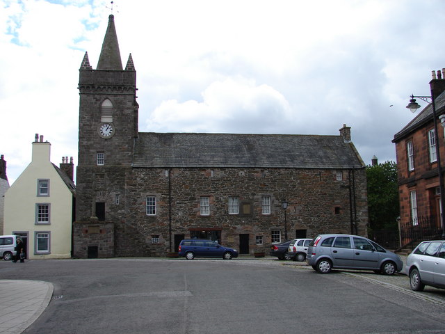
Kirkcudbright Tolbooth
Kirkcudbright Tolbooth is a historic municipal building in Kirkcudbright in Dumfries and Galloway, Scotland. Built between 1627 and 1629 to serve the town...
Nearby Amenities
Located within 500m of 54.83228,-4.0742996Have you been to Bishopton Wood?
Leave your review of Bishopton Wood below (or comments, questions and feedback).