Larks Plantation

Wood, Forest in Kirkcudbrightshire

Scotland

Larks Plantation

Low Barcaple
Low Barcaple Credit: Kirsty Smith

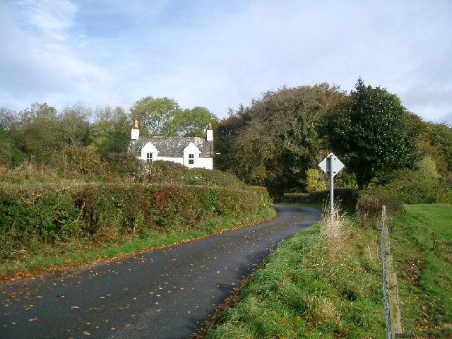
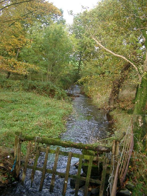
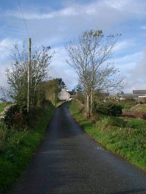
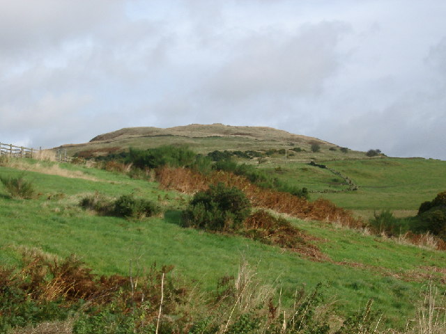
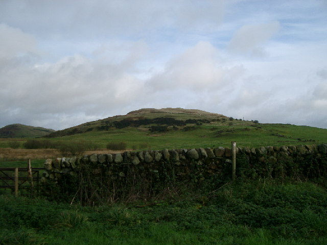
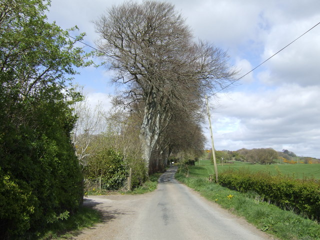
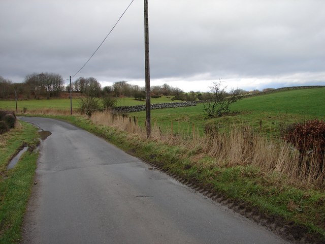
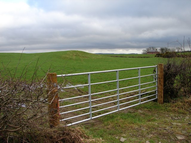
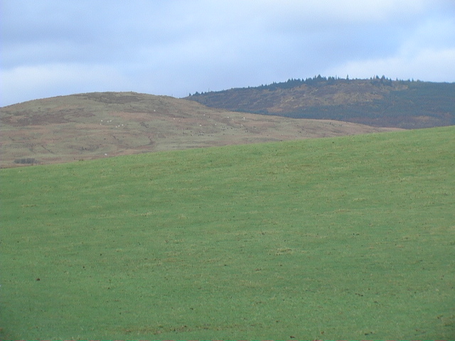
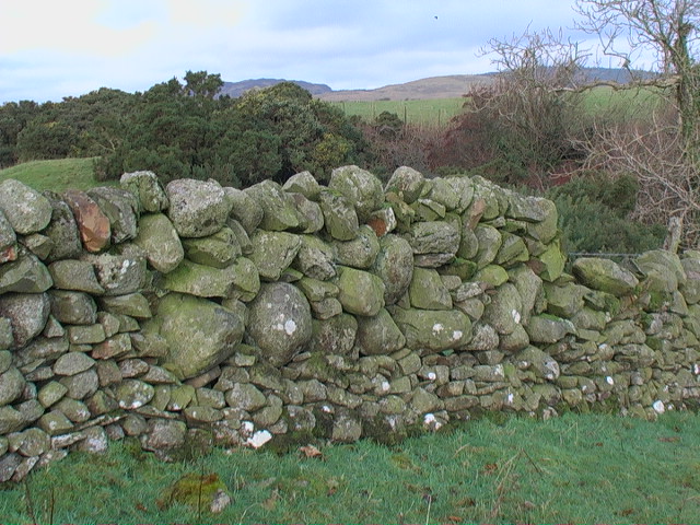
Larks Plantation is a serene woodland area located in Kirkcudbrightshire, Scotland. Spread over a vast expanse, this beautiful forest is known for its enchanting landscape and diverse range of plant and animal species.

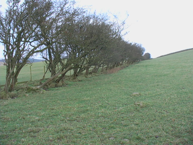
The plantation is predominantly covered with mature trees, including oak, birch, and pine, which provide a stunning backdrop throughout the year. The forest floor is adorned with a rich carpet of moss and ferns, creating a magical atmosphere for visitors to explore and immerse themselves in nature.

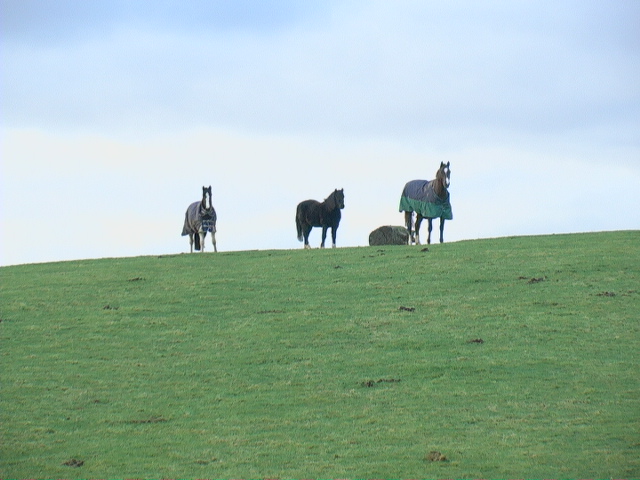
Larks Plantation is a haven for wildlife enthusiasts, as it is home to a wide variety of animal species. Birdwatchers can spot an array of avian species, such as woodpeckers, owls, and warblers, while mammal lovers may come across red squirrels, badgers, and roe deer. The forest also hosts a diverse range of insects, including butterflies and dragonflies.

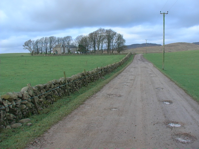
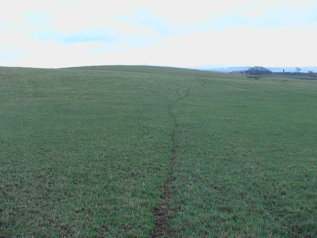
The plantation offers several walking trails, allowing visitors to explore the forest at their own pace. These well-maintained paths wind through the woodland, offering breathtaking views of the surrounding countryside. The tranquility of Larks Plantation makes it a popular destination for nature lovers, hikers, and photographers.

Additionally, the forest provides an ideal habitat for various plant species, including wildflowers, bluebells, and ferns. This abundance of flora adds to the plantation's natural beauty, creating a picturesque setting for visitors to enjoy.

Overall, Larks Plantation in Kirkcudbrightshire is a captivating woodland area that offers a diverse range of plant and animal life, making it a perfect destination for those seeking a peaceful retreat in nature.

If you have any feedback on the listing, please let us know in the comments section below.

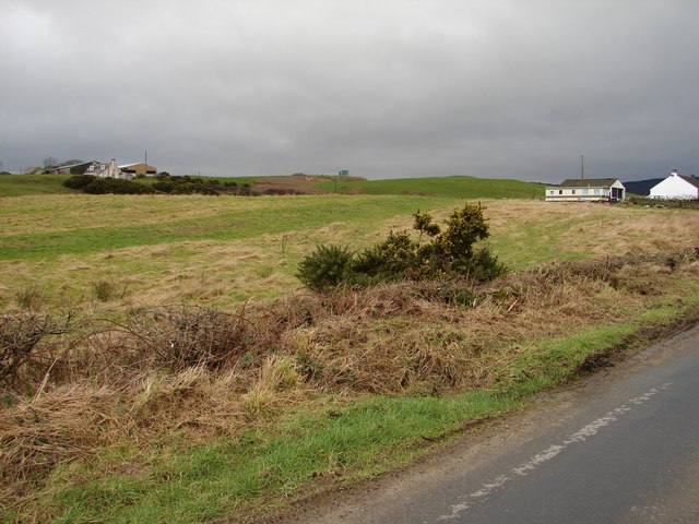
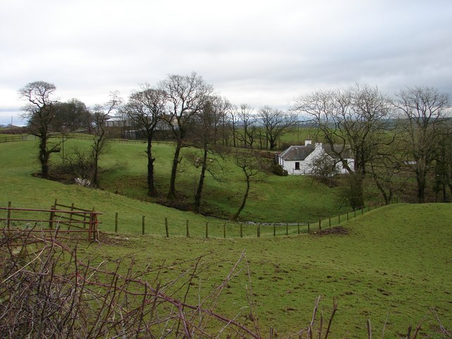
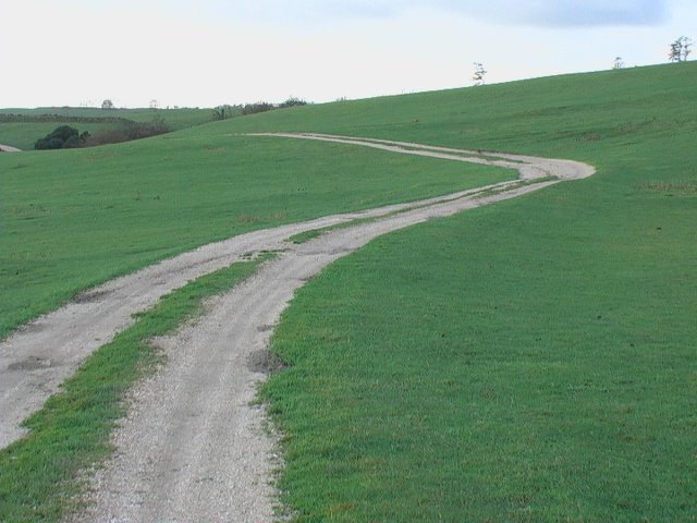
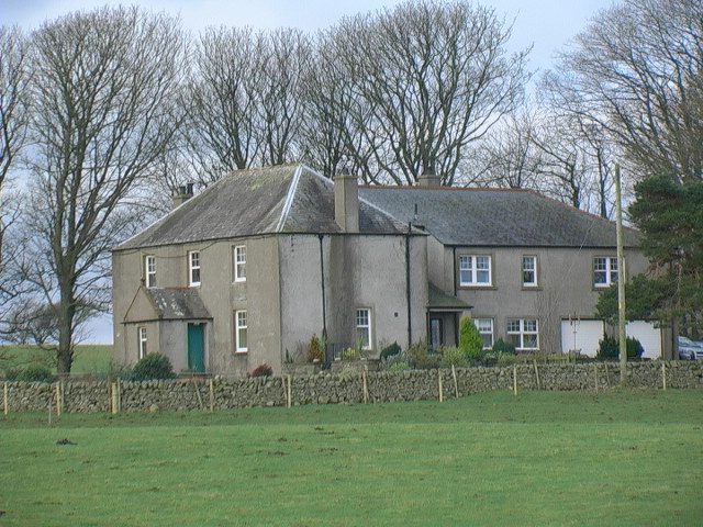
Larks Plantation Images

Images are sourced within 2km of 54.887597/-4.0867157 or Grid Reference NX6656. Thanks to Geograph Open Source API. All images are credited.

Low Barcaple
Low Barcaple
Upstream, Spout Burn and Larks Plantation
Mark house from road steadings on left
Mark house from road
steadings on left
Looking towards Meikle Culcaigrie Hill Meikle Culcaigrie Hill from under the sheepfold near Trostrie. Sheepfold is on the left. Put this photo against the hill in the foreground.
Looking towards Meikle Culcaigrie Hill
Meikle Culcaigrie Hill from under the sheepfold near Trostrie. Sheepfold is on the left. Put this photo against the hill in the foreground.
Meikle Culcaigrie from Glencap Bridge Think that must be Pharoah's Throne at the left hand side.
Meikle Culcaigrie from Glencap Bridge
Think that must be Pharoah's Throne at the left hand side.
Beeches by the lane near Barcaple.
Glengap Road, Twynholm View NNW from the Glengap Road (Redfield) toward the coppices of Mains of Twynholm.
Glengap Road, Twynholm
View NNW from the Glengap Road (Redfield) toward the coppices of Mains of Twynholm.
Redfield View from the Glengap Road SE across the fields toward Redfield house.
Redfield
View from the Glengap Road SE across the fields toward Redfield house.
Muirhead, Twynholm View from the Twynholm-Glengap road of Muirhead farm and cottages. In between on the hill is Muirhead reservoir.
Muirhead, Twynholm
View from the Twynholm-Glengap road of Muirhead farm and cottages. In between on the hill is Muirhead reservoir.
Lochhill, Ringford View across Spout Burn to Lochhill Cottage and Lochhill Farm.
Lochhill, Ringford
View across Spout Burn to Lochhill Cottage and Lochhill Farm.
Farm track to Auchengassel The surfacing material was broken shell giving a rustic look to the track.
Farm track to Auchengassel
The surfacing material was broken shell giving a rustic look to the track.
Irelandton farmhouse
Untrimmed mature hedgerow Not only does the thorn hedge appear never to have been trimmed - it would not keep in much stock in this condition - but it also shows the direction of the prevailing wind.
Untrimmed mature hedgerow
Not only does the thorn hedge appear never to have been trimmed - it would not keep in much stock in this condition - but it also shows the direction of the prevailing wind.
Horses grazing on open ground
Irelandton farm track Dramatic contrast between the open grazing land at this level and the rough rocky hillside in the background - may be similar geology, just a difference in altitude.
Irelandton farm track
Dramatic contrast between the open grazing land at this level and the rough rocky hillside in the background - may be similar geology, just a difference in altitude.
Open grazing land The animal tracks only serve to emphasise the big smooth expansiveness of this kind of land.
Open grazing land
The animal tracks only serve to emphasise the big smooth expansiveness of this kind of land.
Irelandton grazing land The smooth and the rough of grazing.
Irelandton grazing land
The smooth and the rough of grazing.
The no-messing approach to dyking. This is probably solid enough but it has a 'come close and be crushed' aura.
The no-messing approach to dyking.
This is probably solid enough but it has a 'come close and be crushed' aura.
Show me another place!

Larks Plantation is located at Grid Ref: NX6656 (Lat: 54.887597, Lng: -4.0867157)

Unitary Authority: Dumfries and Galloway

Police Authority: Dumfries and Galloway

What 3 Words

///utter.version.retract. Near Kirkcudbright, Dumfries & Galloway

Related Wikis

Tarff railway station

Tarff railway station served the village of Ringford, Dumfries and Galloway, Scotland from 1864 to 1965 on the Kirkcudbright Railway. == History == The...

Twynholm

Twynholm () is a village in Scotland. It is located 2+1⁄4 miles (3.6 km) north-northwest of Kirkcudbright and 4+1⁄2 miles (7.2 km) east of Gatehouse of...

Ringford

Ringford is a village in the historical county of Kirkcudbrightshire in Dumfries and Galloway located at grid reference NX689578 beside the Tarff Water...

Tongland

Tongland is a small village about 2 miles (3 km) north of Kirkcudbright, in the historic county of Kirkcudbrightshire in Dumfries and Galloway, Scotland...

Tongland Abbey

Tungland or Tongland Abbey was a Premonstratensian monastic community located in Tongland in the historical county of Kirkcudbrightshire in Dumfries and...

Broughton House

Broughton House is an 18th-century town house standing on the High Street of Kirkcudbright, Scotland. It was the home of Scots impressionist artist E....

Kirkcudbright Railway

The Kirkcudbright Railway was a railway branch line linking Kirkcudbright to the Castle Douglas and Dumfries Railway at Castle Douglas. It opened in 1864...

MacLellan's Castle

MacLellan's Castle in the town of Kirkcudbright, in Galloway, Scotland, was built in the late 16th century. It stands in the centre of Kirkcudbright...

Nearby Amenities

Located within 500m of 54.887597,-4.0867157
Power: pole
Lat/Long: 54.8869664/-4.0907306
Power: pole
Lat/Long: 54.8844746/-4.0853806
Power: pole
Lat/Long: 54.8848915/-4.0852977
Power: pole
Lat/Long: 54.8855425/-4.0851743
Power: pole
Lat/Long: 54.8855445/-4.0873433
Power: pole
Lat/Long: 54.8867109/-4.0900005
Power: pole
Lat/Long: 54.886208/-4.0885632
Power: pole
Lat/Long: 54.8860427/-4.0899247
Power: pole
Lat/Long: 54.8859661/-4.0905185
Power: pole
Lat/Long: 54.8849942/-4.0863339
Power: pole
Lat/Long: 54.8840255/-4.0841687
Power: pole
Lat/Long: 54.8842284/-4.0847161
Power: pole
Lat/Long: 54.8875904/-4.0914404
Power: pole
Lat/Long: 54.8882111/-4.0921463
Power: pole
Lat/Long: 54.8895426/-4.0936609
Power: pole
Lat/Long: 54.8888739/-4.0929004
The data included in this document is from www.openstreetmap.org. The data is made available under ODbL.

Have you been to Larks Plantation?

Leave your review of Larks Plantation below (or comments, questions and feedback).