Mossdale Clump

Wood, Forest in Kirkcudbrightshire

Scotland

Mossdale Clump

Raiders' Road Forest road open to public use. There is a £3 parking charge. The road here is not shown by the Ordnance Survey on the 1:25,000 map so is possibly new.
Raiders' Road Credit: Richard Webb

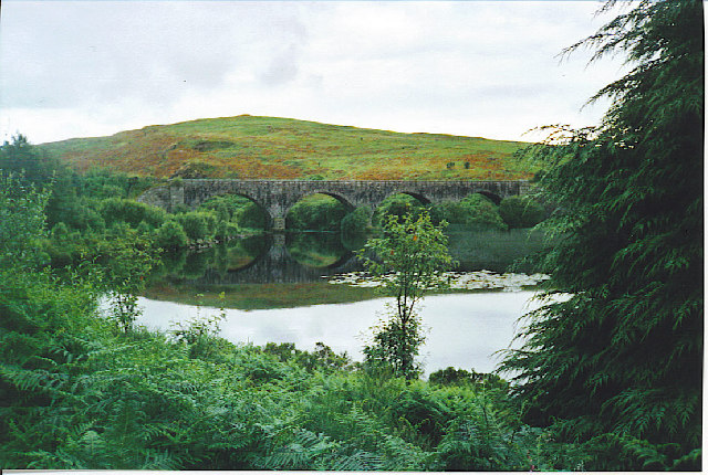
Mossdale Clump is a picturesque woodland located in the historic region of Kirkcudbrightshire, Scotland. Situated just outside the small village of Mossdale, this charming forest is a popular destination for nature enthusiasts and hikers alike.

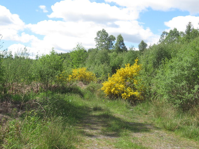
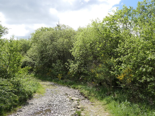
Covering an area of approximately 100 acres, Mossdale Clump is home to a diverse range of flora and fauna. The woodland is primarily composed of native Scottish tree species, including oak, birch, and beech trees, which create a lush and vibrant canopy. The forest floor is carpeted with a variety of wildflowers, adding a burst of color to the landscape during the spring and summer months.

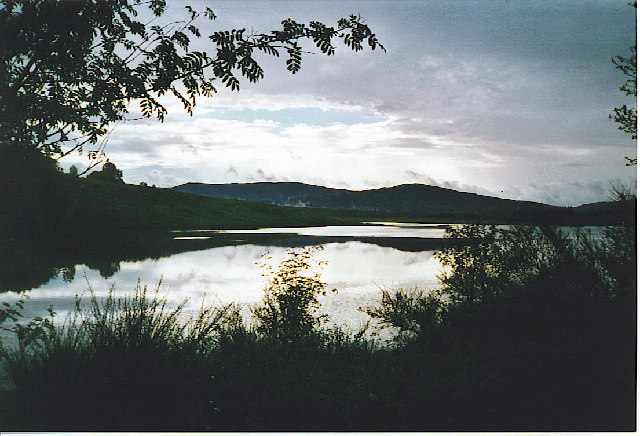
The woodland is crisscrossed by a network of well-maintained trails, making it easy for visitors to explore the area. These paths wind through the forest, leading to several scenic viewpoints and hidden gems, such as a tranquil pond and a small waterfall. The clump is also home to a wide array of wildlife, including red squirrels, roe deer, and a multitude of bird species, providing ample opportunities for wildlife spotting and birdwatching.

Due to its secluded location and peaceful ambiance, Mossdale Clump offers a serene retreat from the hustle and bustle of everyday life. Visitors can enjoy a leisurely walk through the woods, breathing in the crisp, fresh air and immersing themselves in the natural beauty of the Scottish countryside. Whether it's for a family outing, a romantic stroll, or simply a moment of solitude, Mossdale Clump is a hidden gem waiting to be discovered.

If you have any feedback on the listing, please let us know in the comments section below.

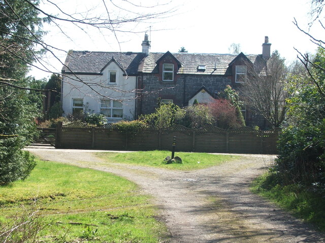
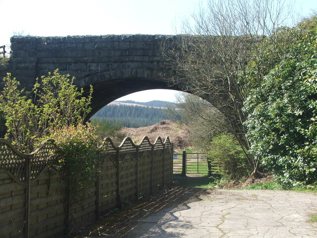
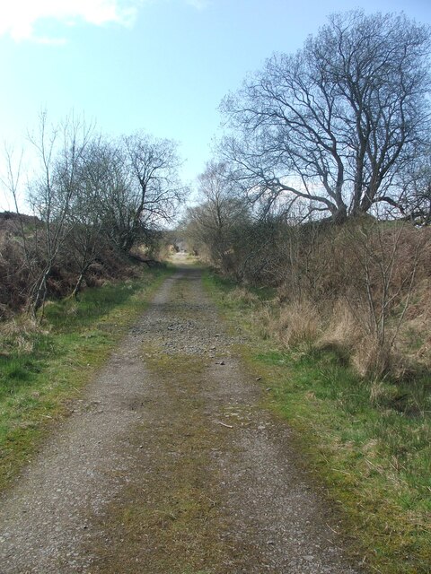
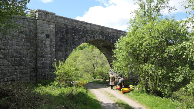
Mossdale Clump Images

Images are sourced within 2km of 55.014979/-4.1054667 or Grid Reference NX6570. Thanks to Geograph Open Source API. All images are credited.

Raiders' Road Forest road open to public use. There is a £3 parking charge. The road here is not shown by the Ordnance Survey on the 1:25,000 map so is possibly new.
Raiders' Road
Forest road open to public use. There is a £3 parking charge. The road here is not shown by the Ordnance Survey on the 1:25,000 map so is possibly new.
Young trees, Airds Hill Birch on the site of harvested conifers.
Young trees, Airds Hill
Birch on the site of harvested conifers.
Fire rings,  Near Boddon's Island Like most accessible lochside spots, badly damaged.
Fire rings, Near Boddon's Island
Like most accessible lochside spots, badly damaged.
Stroan Viaduct
Stroan Viaduct
Stroan Loch Fishing from near the Forestry Commission or whatever they are called this week's car park.
Stroan Loch
Fishing from near the Forestry Commission or whatever they are called this week's car park.
Cadger's Loop The edge of Loch Ken viewed on a frosty December morning.
Cadger's Loop
The edge of Loch Ken viewed on a frosty December morning.
Old milestone From the legends on each face this milestone must have originally stood on the opposite side of the road near to Bennan Cottage.   Now it is set with its right face to the road and the back at right angles to the road.
Old milestone
From the legends on each face this milestone must have originally stood on the opposite side of the road near to Bennan Cottage. Now it is set with its right face to the road and the back at right angles to the road.
Old milestone Of the 4 milestones south from New Galloway giving the distance to New Galloway Station, this one has the clearest inscriptions, although unfortunately it is set at the wrong angle on the wrong  side of the road.
Old milestone
Of the 4 milestones south from New Galloway giving the distance to New Galloway Station, this one has the clearest inscriptions, although unfortunately it is set at the wrong angle on the wrong side of the road.
Old railway Some of this building at Mossdale by the disused railway line was New Galloway Station.  New Galloway is 5 miles to the north but because of the terrain the railway line could not always go through larger settlements.   There are 4 milestones along the road from New Galloway giving the distance to the station.
Old railway
Some of this building at Mossdale by the disused railway line was New Galloway Station. New Galloway is 5 miles to the north but because of the terrain the railway line could not always go through larger settlements. There are 4 milestones along the road from New Galloway giving the distance to the station.
Old railway This bridge carries the A762 over the disused railway line at Mossdale.   The railway between Castle Douglas and Port Patrick was built in 1863.
Old railway
This bridge carries the A762 over the disused railway line at Mossdale. The railway between Castle Douglas and Port Patrick was built in 1863.
Old railway Travelling generally westwards but following the contours, the next big town reached along this dismantled Castle Douglas to Port Patrick railway would be Newton Stewart.
Old railway
Travelling generally westwards but following the contours, the next big town reached along this dismantled Castle Douglas to Port Patrick railway would be Newton Stewart.
Stroan Viaduct The Port Road by the outlet of the Stroan Loch. The kayakers are about to go fishing.
Stroan Viaduct
The Port Road by the outlet of the Stroan Loch. The kayakers are about to go fishing.
Road beside the Dee A track that has just passed under the Stroan Viaduct.
Road beside the Dee
A track that has just passed under the Stroan Viaduct.
Stroan Viaduct Stroan Viaduct and Loch Stroan.
Stroan Viaduct
Stroan Viaduct and Loch Stroan.
Memorial, Stroan Loch Memorial to a local forester
Memorial, Stroan Loch
Memorial to a local forester
Cadger's Loop, Loch Ken Hillock on the other side of Loch Ken is the Upper Tors
Cadger's Loop, Loch Ken
Hillock on the other side of Loch Ken is the Upper Tors
Stroan Loch and Viaduct. The loch is by the Raider's Road, a Forest Drive in the Galloway Forest Park. The railway viaduct featured in Buchan's "The Thirty Nine Steps" but the railway is now long gone. The viaduct now carries a footpath.
Stroan Loch and Viaduct.
The loch is by the Raider's Road, a Forest Drive in the Galloway Forest Park. The railway viaduct featured in Buchan's "The Thirty Nine Steps" but the railway is now long gone. The viaduct now carries a footpath.
Stroan Loch. Another Scottish loch which is used by fishermen.
Stroan Loch.
Another Scottish loch which is used by fishermen.
Show me another place!

Mossdale Clump is located at Grid Ref: NX6570 (Lat: 55.014979, Lng: -4.1054667)

Unitary Authority: Dumfries and Galloway

Police Authority: Dumfries and Galloway

What 3 Words

///download.flamingo.oven. Near Castle Douglas, Dumfries & Galloway

Related Wikis

New Galloway railway station

New Galloway railway station served the town of New Galloway in Dumfries and Galloway, Scotland, from 1861 to 1965 on the Portpatrick and Wigtownshire...

Airds of Kells

Airds of Kells is a farm and small estate in the historical county of Kirkcudbrightshire in the parish of Kells, Dumfries and Galloway, Scotland. The...
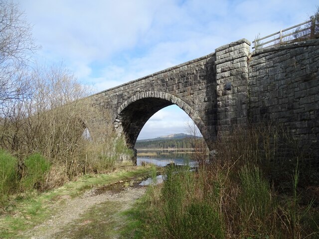
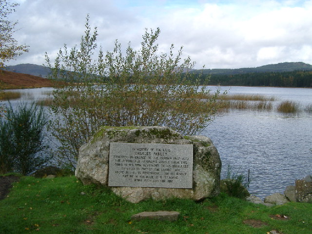
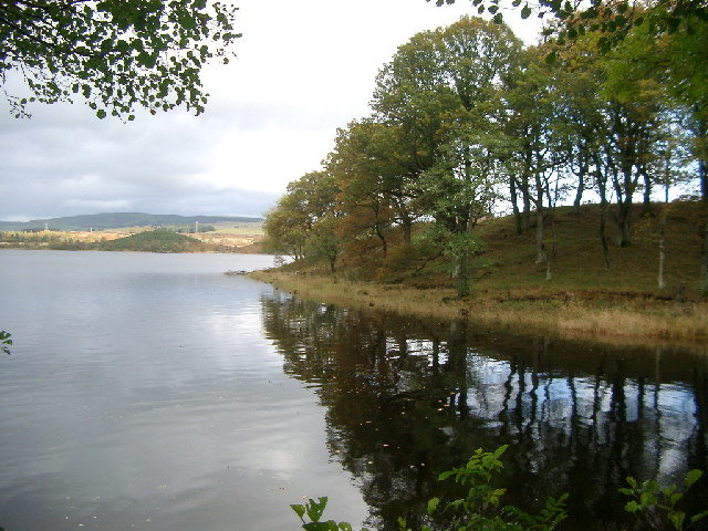
Loch Ken

Loch Ken is a 9 miles (14 km) long freshwater loch in the historic county of Kirkcudbrightshire in Dumfries and Galloway, Scotland. It lies in the Glenkens...

Parton railway station (Portpatrick and Wigtownshire Joint Railway)

Parton railway station served the hamlet of Parton, Dumfries and Galloway, Scotland, from 1861 to 1965 on the Portpatrick and Wigtownshire Joint Railway...

Related Videos

Beautiful Trail Through Scottish Woodland On A Scorcher Of A Day!

It was the hottest September day in Scotland for over one hundred years when we headed to another Walkhighlands route in ...

Wee wander to Hensol Estate to clear my head

I had been overwhelmed with the events of the past week so decided to go along to Hensol Estate to relax and try to clear my ...

Motorcycle Glamping in the Scottish Lowlands

I took the 701 on a last minute trip North up to the Scottish Borders to explore the Galloway Forest as part of a two day trip. My first ...

Capturing Tranquillity

Visit the channel for Full 4K 1 Hour Ambient videos to help Sleep, Study and Relax. ASMR relief from Anxiety, Stress and ...

Nearby Amenities

Located within 500m of 55.014979,-4.1054667
Secret Cages
Place: locality
Lat/Long: 55.0176235/-4.1099837
Power: pole
Lat/Long: 55.0159452/-4.0979448
Power: pole
Lat/Long: 55.0167284/-4.0986862
Power: pole
Lat/Long: 55.0174446/-4.0993597
Power: pole
Lat/Long: 55.0182059/-4.1001011
Information: guidepost
Tourism: information
Lat/Long: 55.0177762/-4.1099636
The data included in this document is from www.openstreetmap.org. The data is made available under ODbL.

Have you been to Mossdale Clump?

Leave your review of Mossdale Clump below (or comments, questions and feedback).